After enjoying a good lunch in Gokyo, I went to my room and lay down for a bit. Gokyo Ri was one of my main objectives for the trip, and having ticked every to-do list item so far, I wasn’t going to miss the last peak – but my legs were really feeling the strain of so many big days in a row, especially having been above 4600m in elevation for a full week.
The hike up Gokyo Ri starts with a crossing of the stream flowing into the lake, and then begins zig-zagging up the hill.
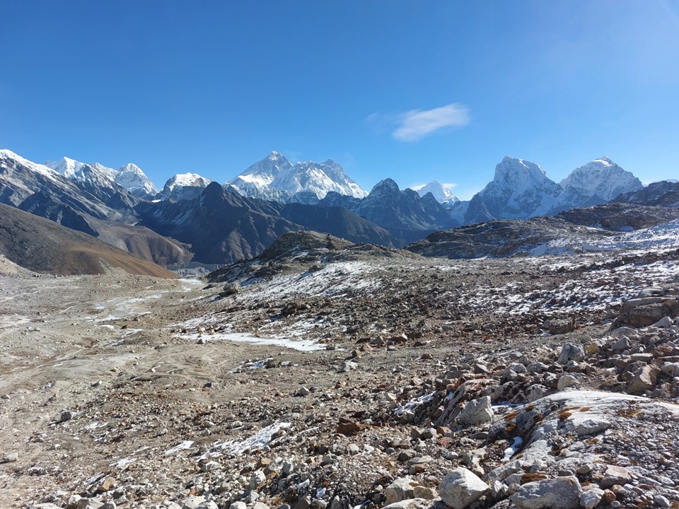
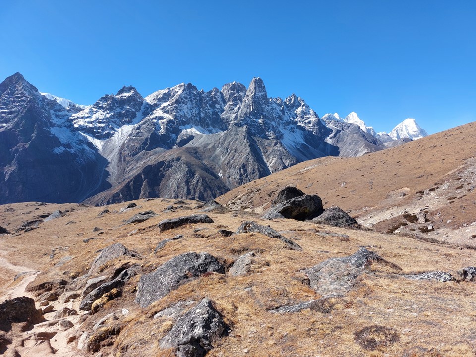
I saw a few people coming down, but no one going up. As I got higher, Everest and Lhotse began to show themselves.
With over 600m elevation gain, getting up Gokyo Ri was no joke – but by just pacing it well, I actually got up faster than anticipated. I didn’t carry my pack up on this occasion – for the other summits I ascended with my pack, but with most of the contents of it left in my room. On this occasion, I went up with a dry-bag containing a down jacket, a raincoat and my light gloves, plus some snacks and water.
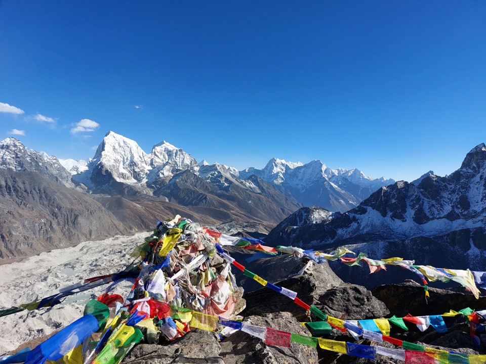
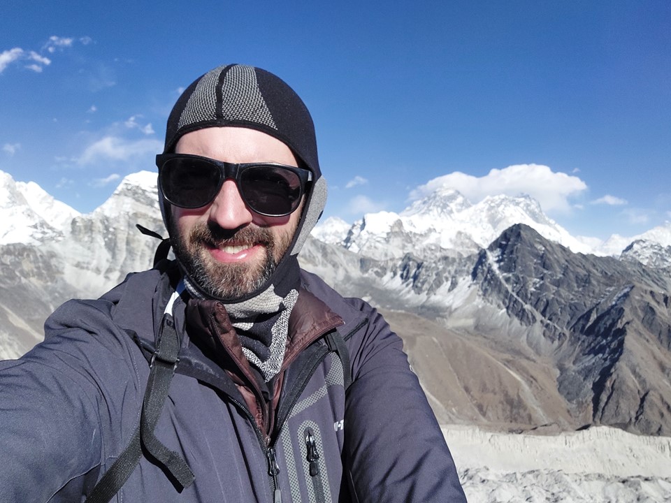
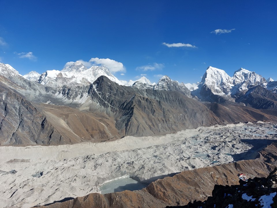
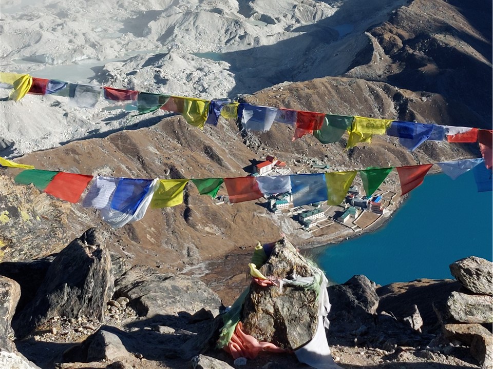
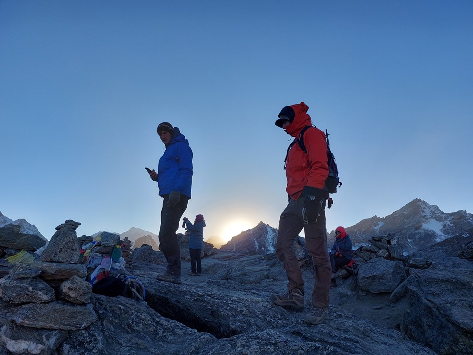
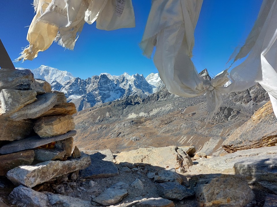
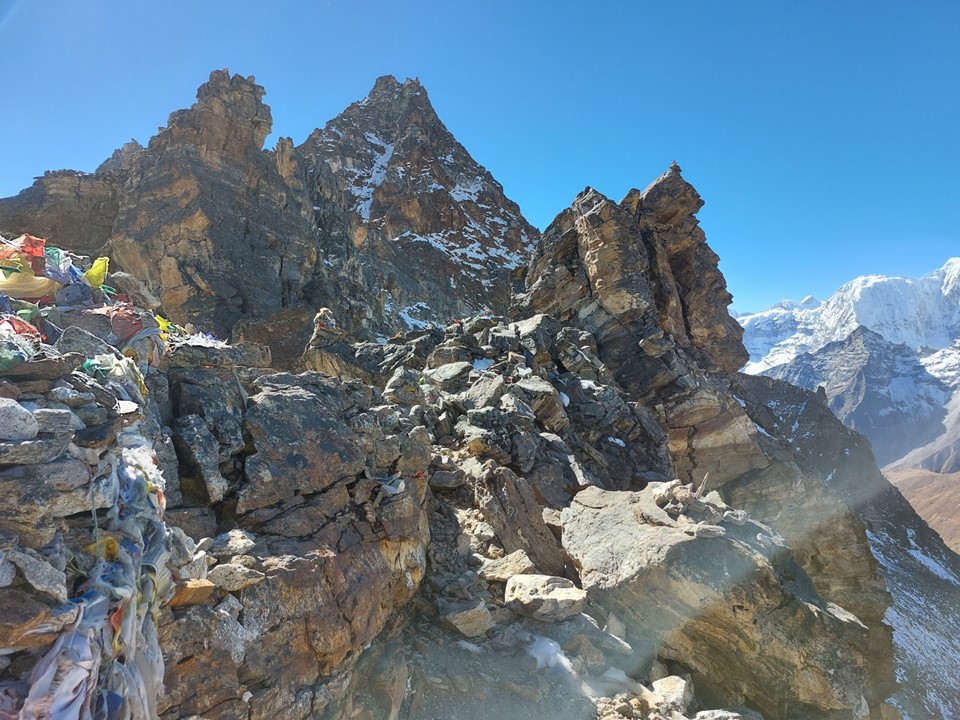
As I arrived on the summit, the only other group up there started descending, so I had the summit to myself. Of all the peaks I ascended, Gokyo Ri was easily the most impressive view.
To the north was Cho Oyu (6th highest mountain on earth) and Gyachung Kang (15th highest mountain on earth, although sadly I wasn’t aware that this was where the peak was found till a few days before writing this).
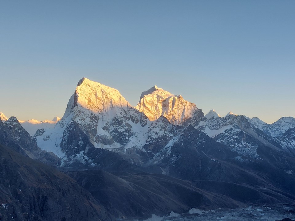
To the east I could see Everest (highest mountain on earth), Lhotse (4th highest mountain on earth), Makalu (5th highest mountain on earth), Cholaste and Tabuche.

I sat for a good 20 minutes trying to soak in the view, and enjoying the fact that I had this summit to myself.


Seeing as I had the summit to myself, I decided to try and break my record for the highest altitude where I have whistled the South African National Anthem. My previous best was on top of Meru in Tanzania, 4566m. At 5357m, with less than half the oxygen one would have at sea level, whistling isn’t easy – my apologies for how many notes I did not manage to hit in this one!
After that I decided to film a quick rap video too – just because I can. I went with the second Shakespeare verse from Epic Rap Battles’ Shakespeare vs Dr Seuss video. I got caught on the “I’m iller than the plague I never caught or cholera”, so I wasn’t far off completing this one. I actually never completed a single rap I attempted at altitude on this trip – but in my defense, I intentionally always went with really hard ones.
As I was preparing to leave, another group arrived on top and asked me if I would be watching the sunset. It wasn’t even 3PM yet, and I had only brought one down jacket and my light gloves – so I knew waiting on top till it was dark would mean getting cold. I also knew that missing this particular sunset would be a decision I would regret for a very long time – so I decided to stay and wait for it. Opportunities like this present themselves occasionally in life – and it is crucial to take them when they come, much like watching the full moon rise from Baranco Camp on Kili, this is something I will never forget. Fortunately I had brought my headlamp – I never leave my headlamp behind even when it’s very unlikely I will need it.
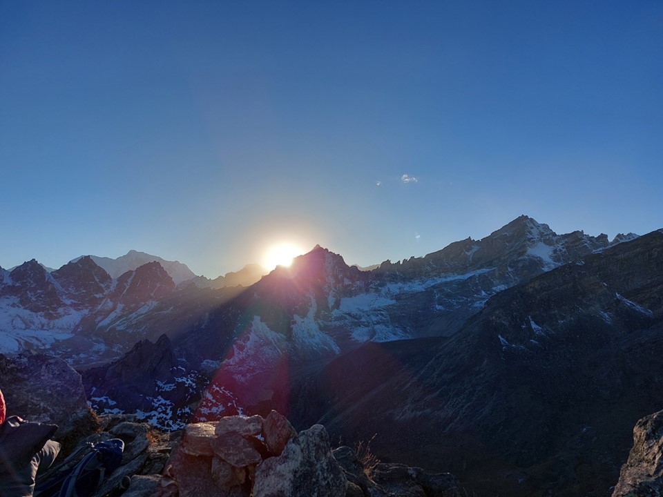
It was a beautiful, albeit cold, afternoon. As the sun disappeared, there was nothing particularly special about this sunset, but I decided to wait and see if it got better. Of the 30 or so people who had hiked up to watch this, many were already making their way down as the sun disappeared behind the ridge.
Then the world started turning yellow, then orange, then pink. The photos that follow have not been edited in any way, not even cropped, this is literally what my camera produced on an automatic mode. Naturally, as usual, the camera doesn’t do the view any justice.


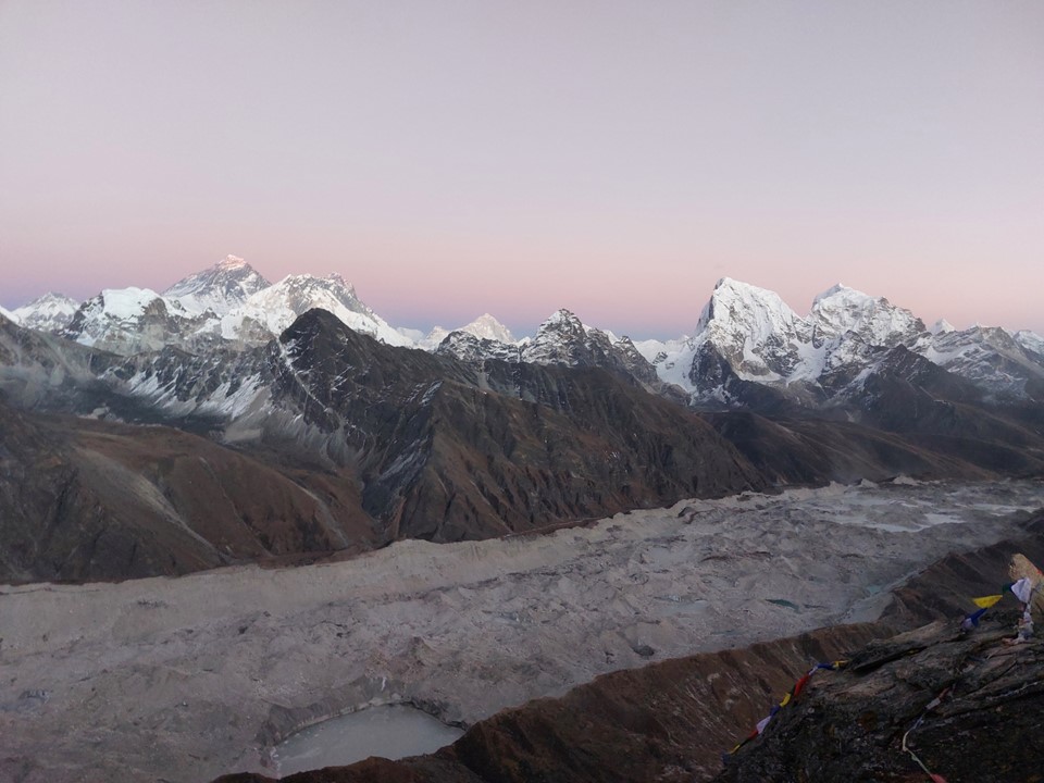
By the time everything had turned this amazing colour, only three of us remained on the summit – Stephanie, her guide, and myself. Incidentally Stephanie’s boyfriend is a mountain guide in Switzerland and I am currently discussing plans to visit the Alps with him later in the year – so that was a great connection to make!
On the way down we periodically stopped to enjoy the view. It was too dark to hike without headlamps, but it was light enough that when we turned our headlamps off, the pink mountains were still clearly visible.
By the time we reached Gokyo, it was completely dark. I went back to my accommodation and had supper. I bumped into a few people I had met along the way over the previous days, which was pretty cool.
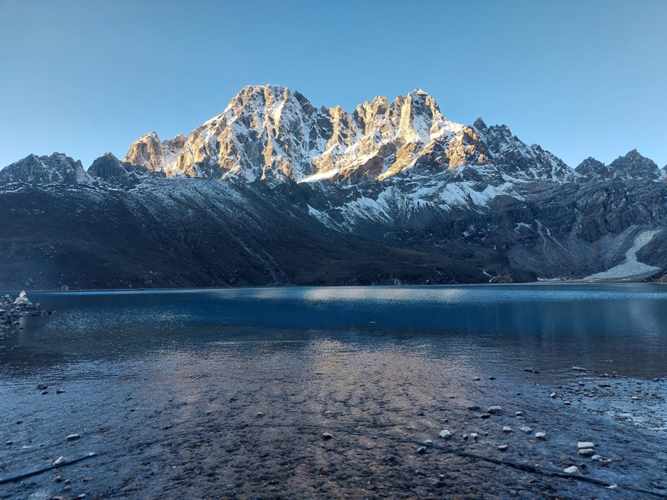
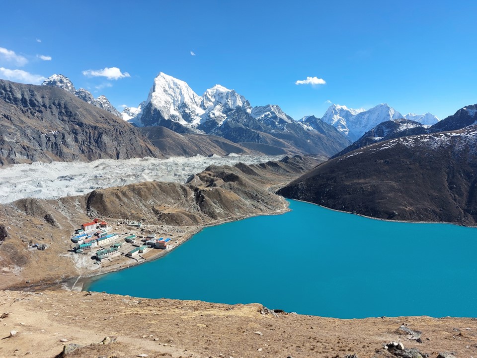
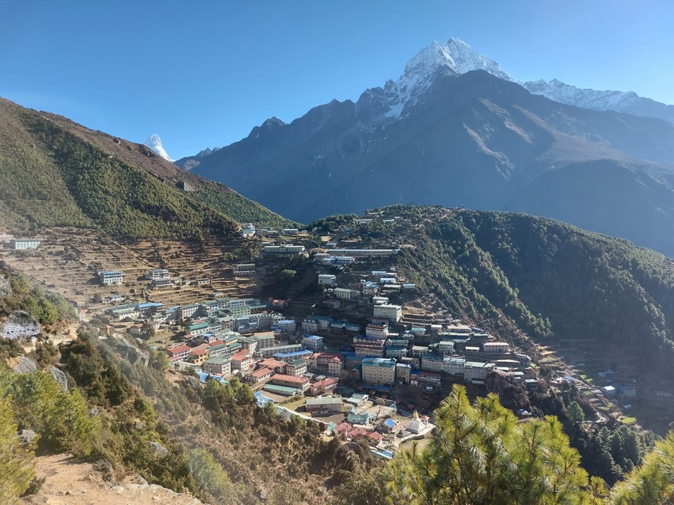
After breakfast I set off from what is without a doubt one of the most beautiful towns on the planet. The morning sun on Pharilapche across the lake was a beautiful sight. The photo above does it no justice.

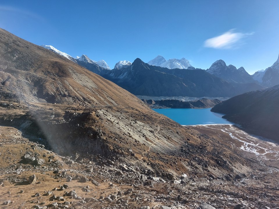
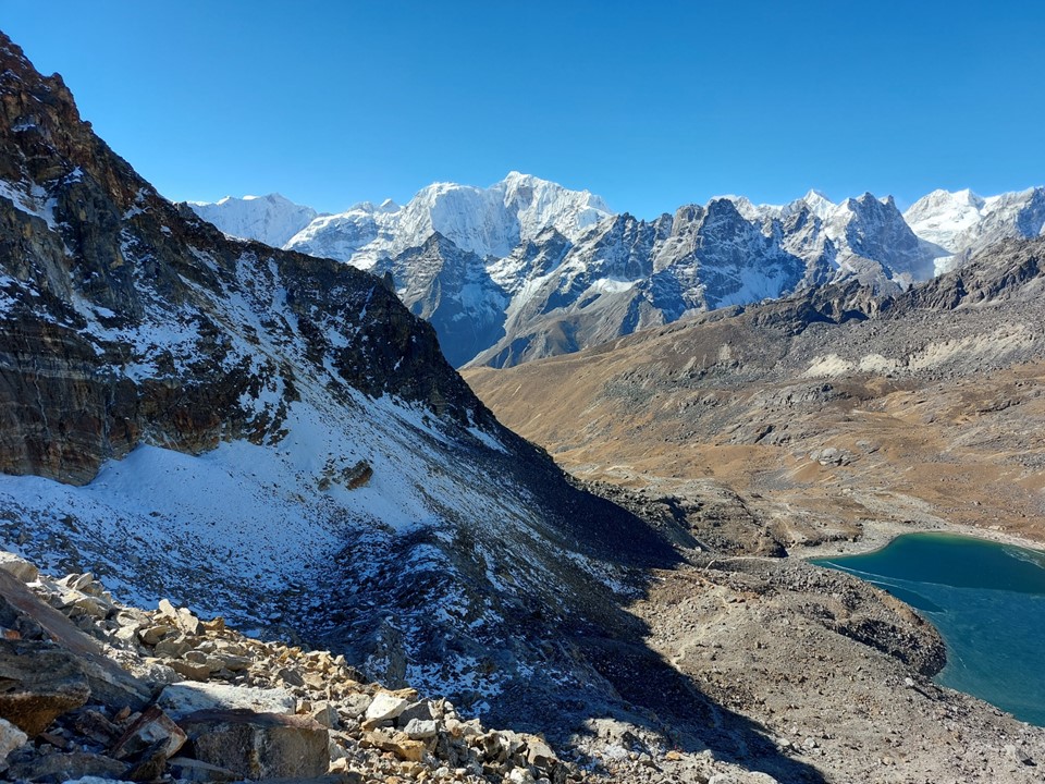
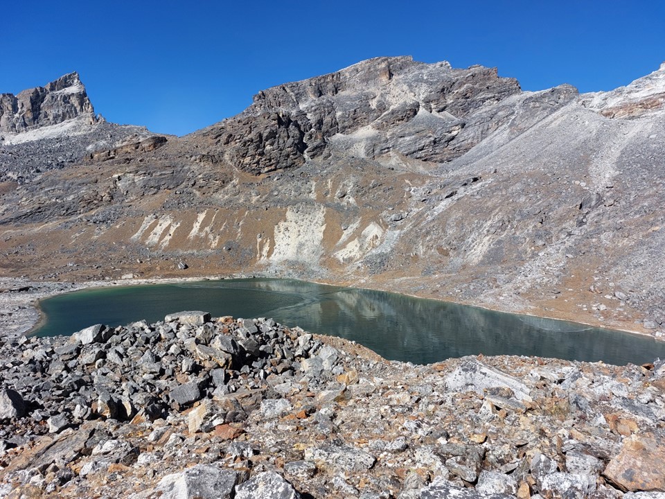
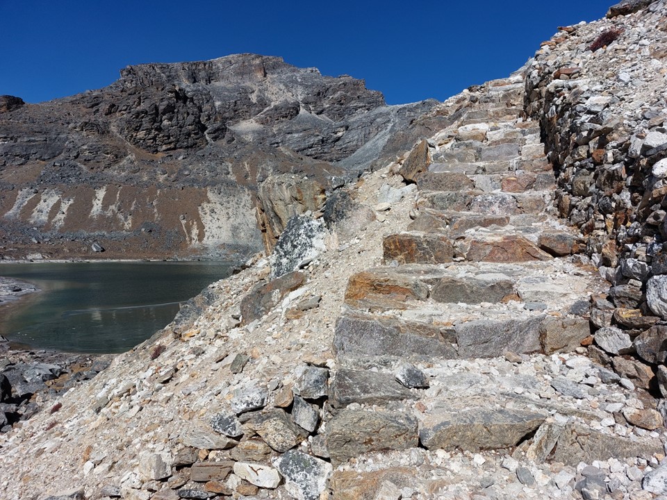
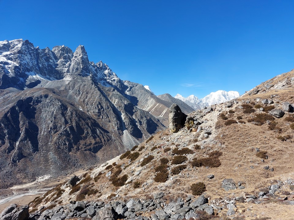
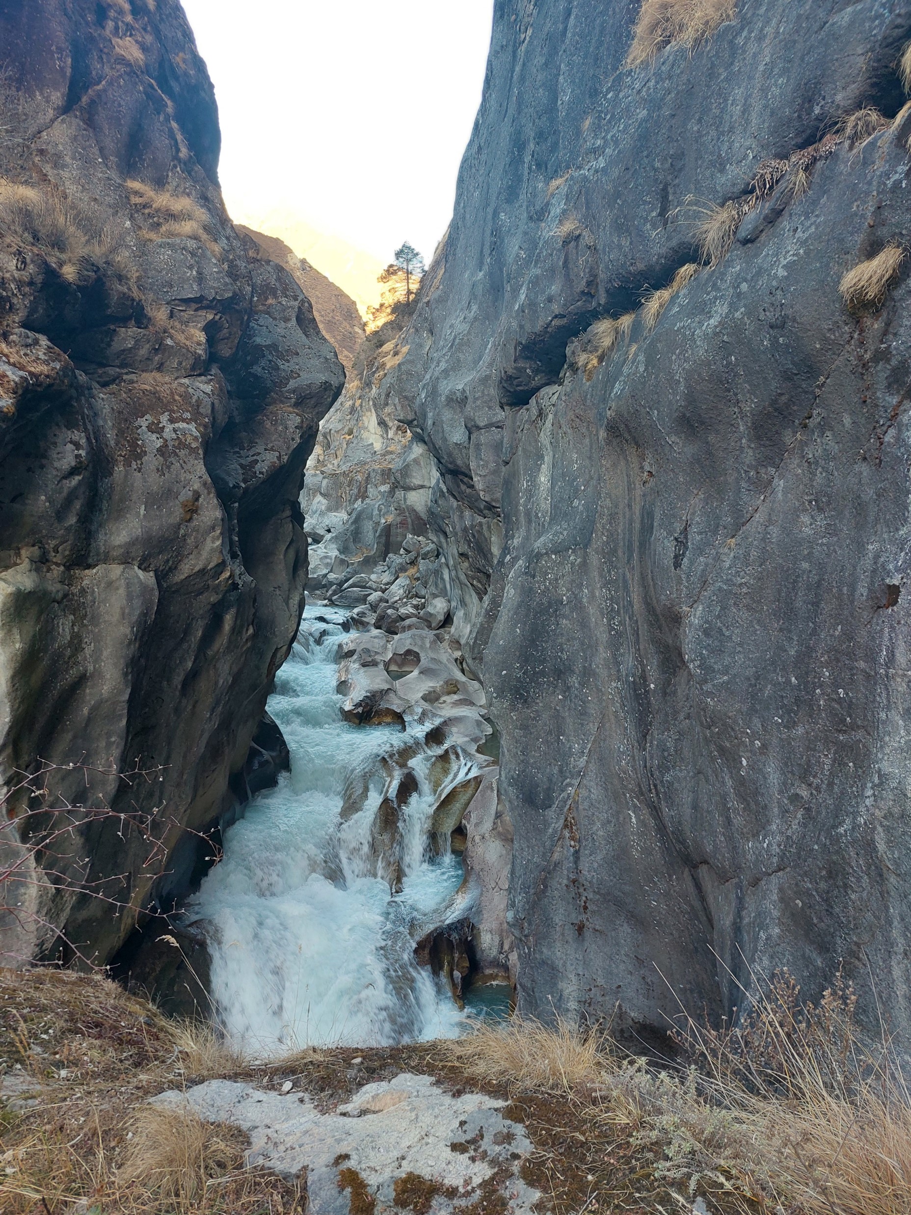
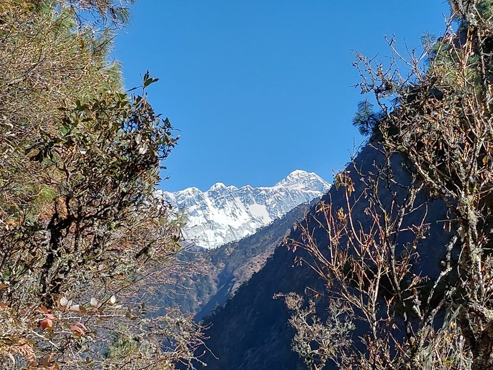
The stream crossing above the lake was frozen, so I had to take care. With Cho Oyu visible in the distance, it was absolutely spectacular.


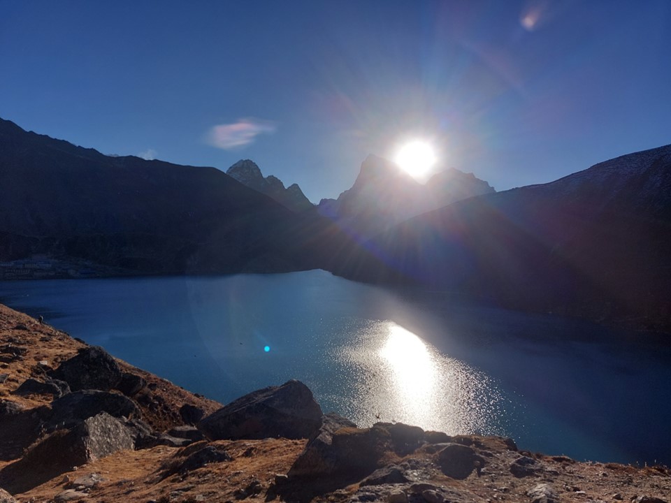
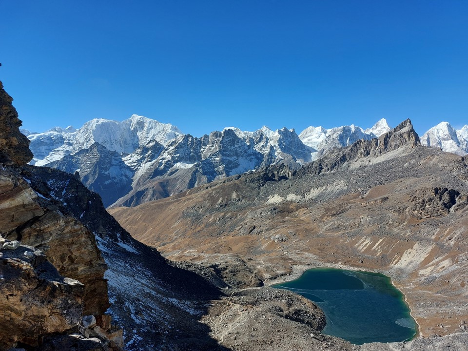
Walking around the lake I was on my way to the final pass of the circuit – Renjo La.
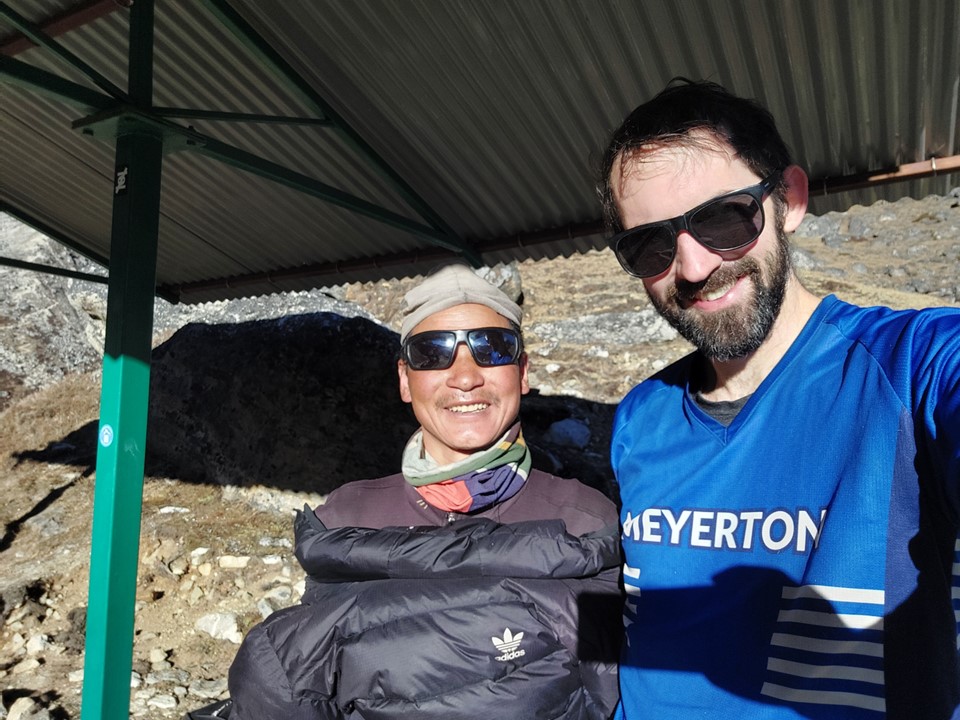
On the far side of the lake I saw a porter with a South African flag buff on, so naturally we had to get a photo together.
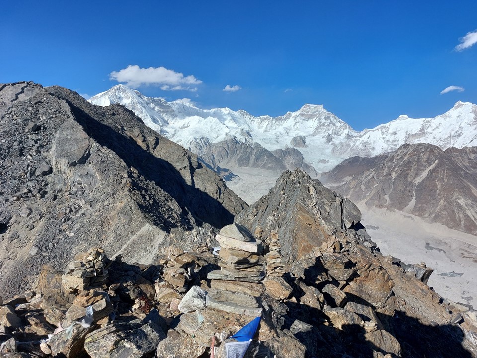
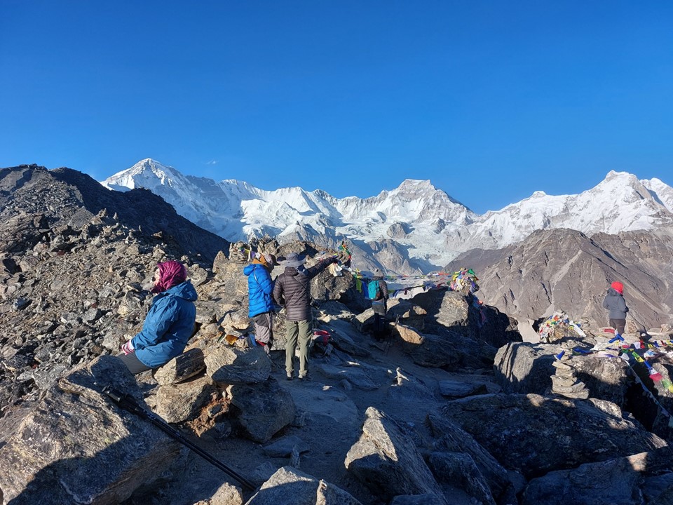
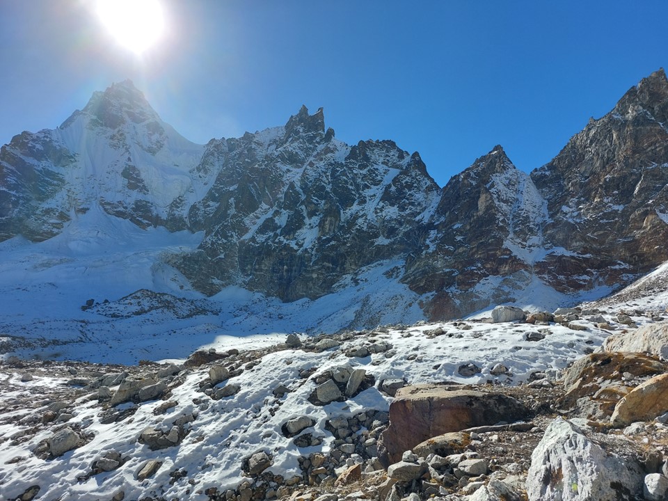
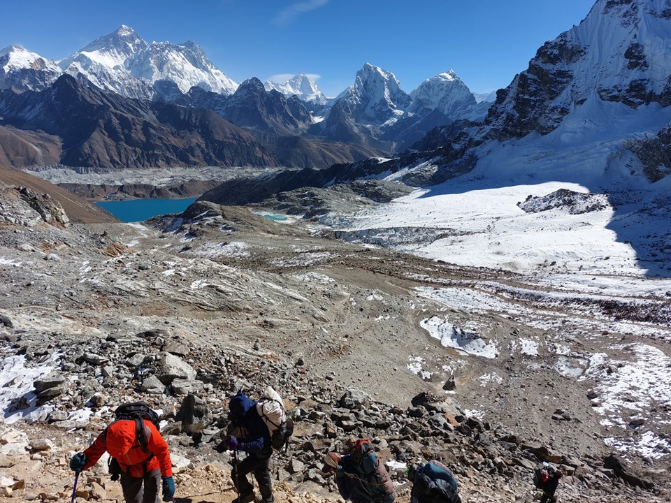
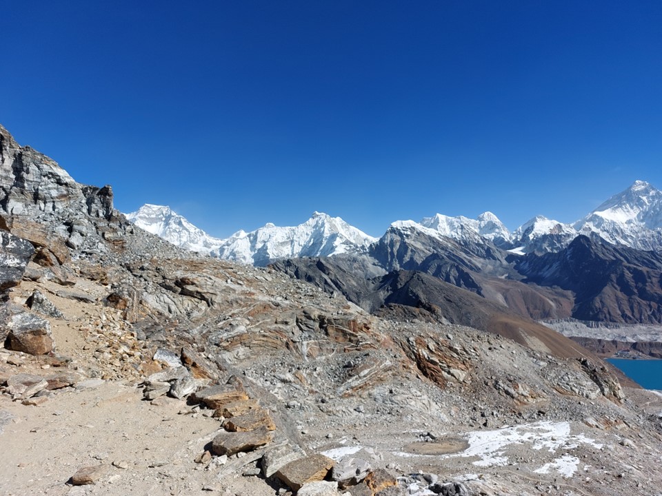
Topping out at “just” 5345m, Renjo La is the lowest of the three passes, but also generally considered the one with the best view. It is difficult to argue with this when Everest is just sitting there in the distance!

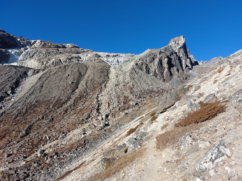
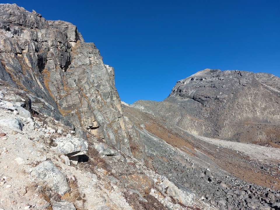
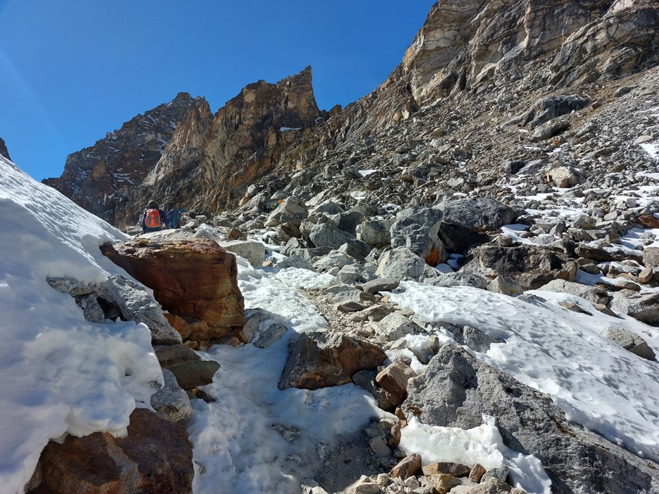
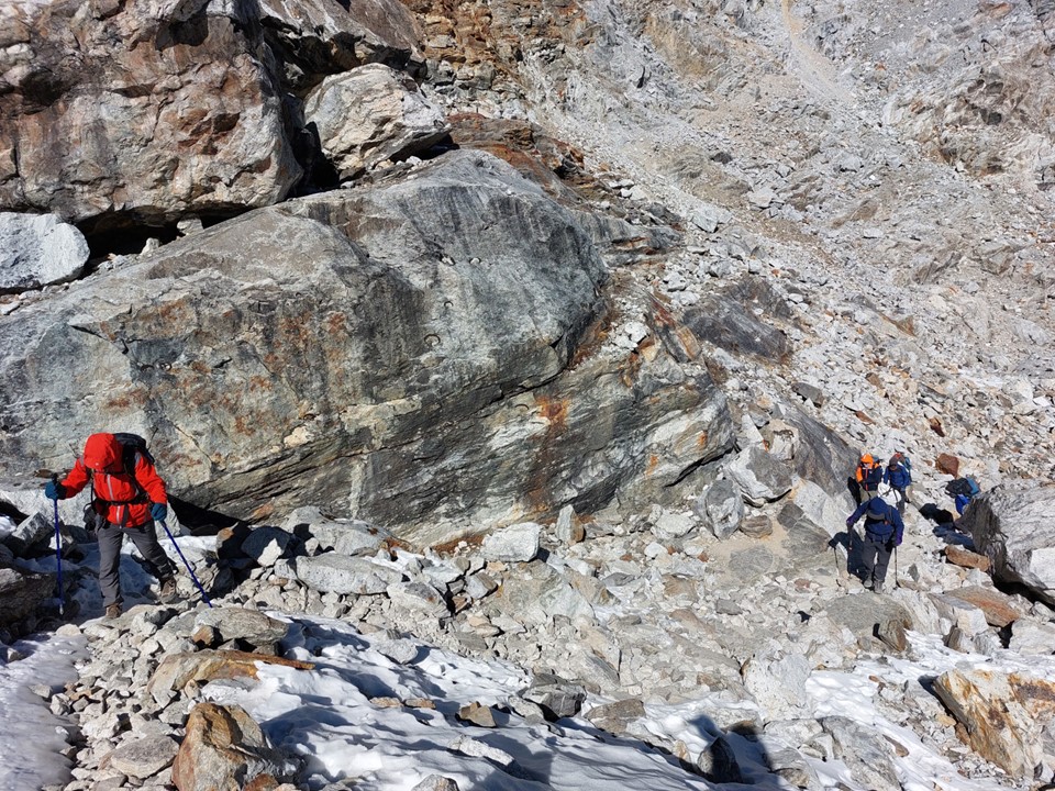
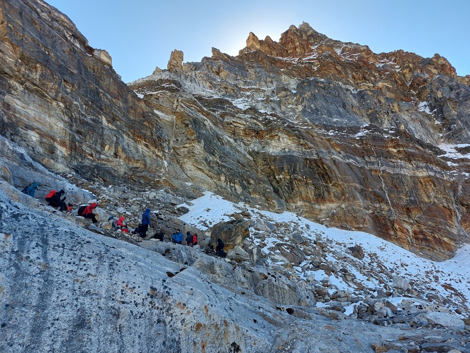
The pass does get a bit steep in places, but much like the other passes on the circuit, it wouldn’t be a notably difficult route at lower altitude.

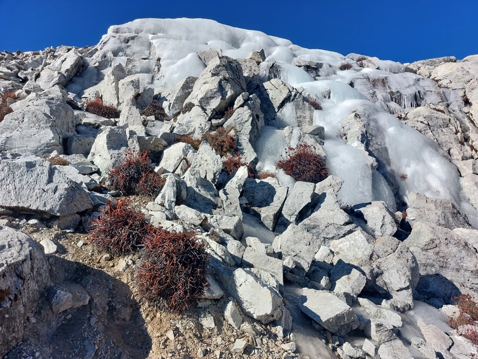
Higher up on the pass I encountered more ice – as is usual above 5000m. I don’t think there are many places on earth above 5000m where ice isn’t found.

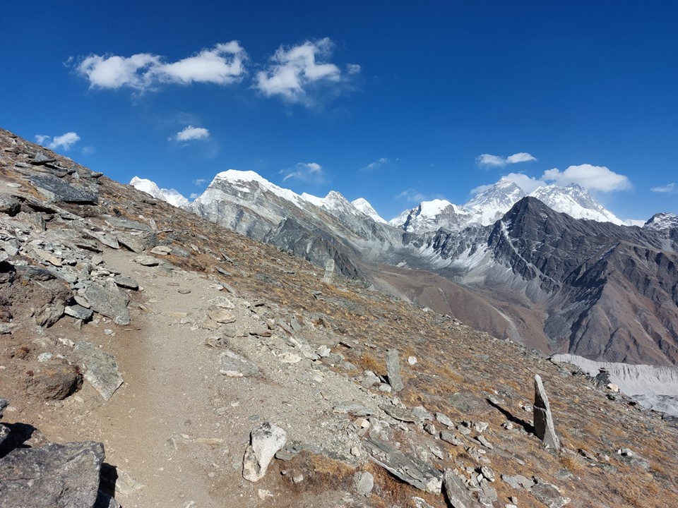
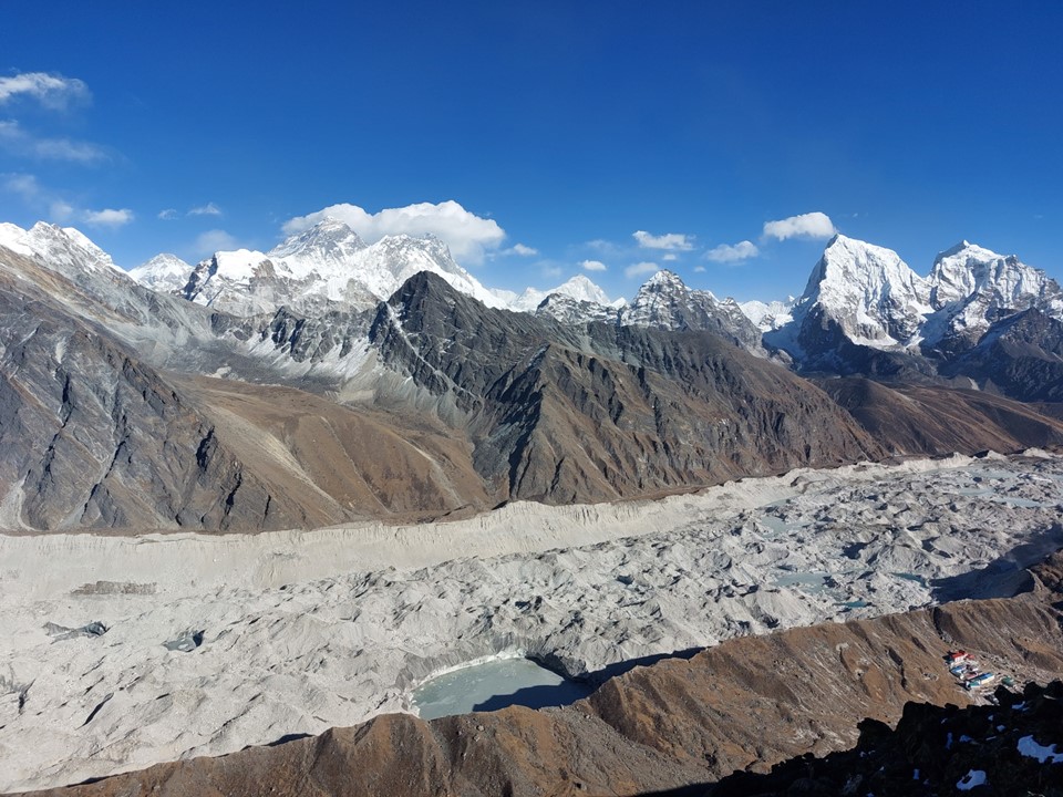
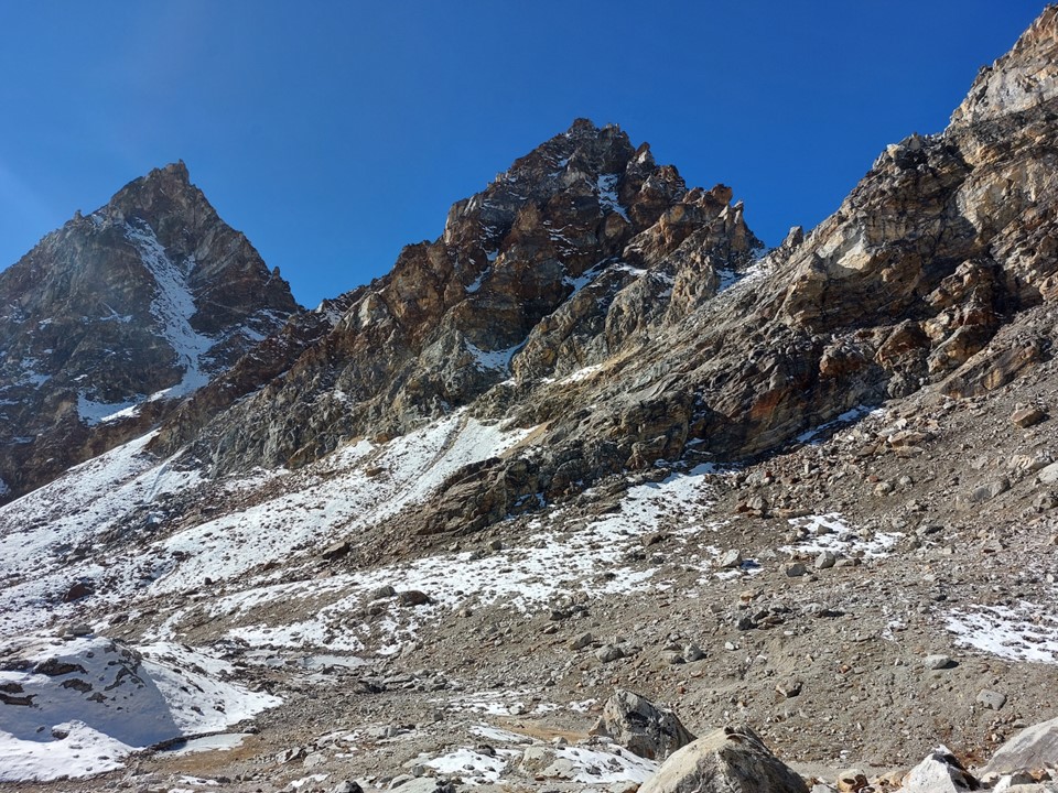
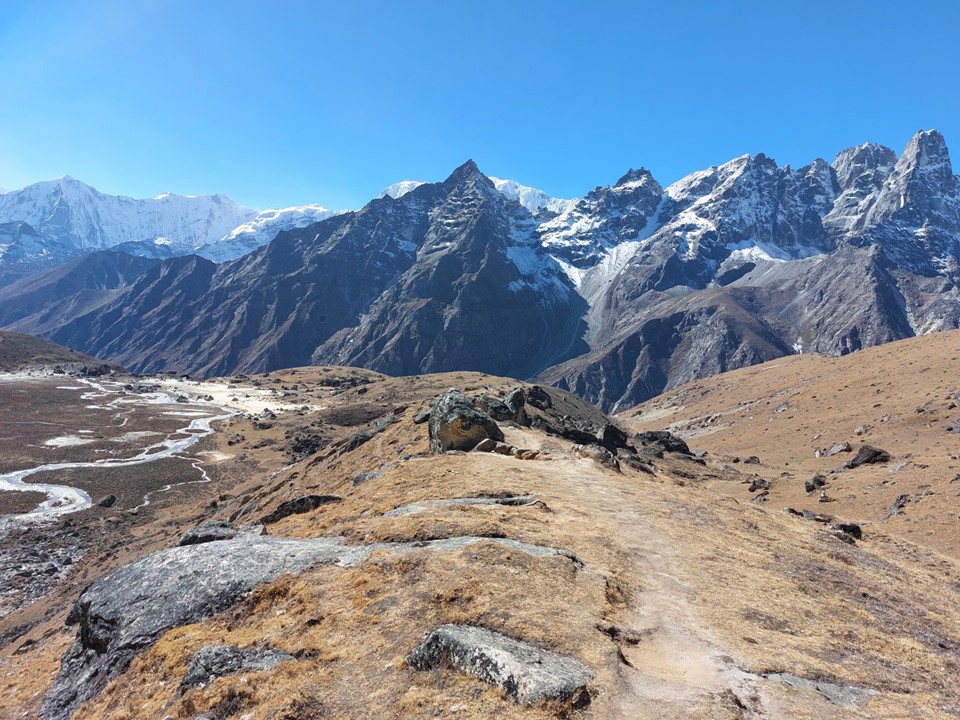
I spent a lot of time on the way up enjoying the view. I knew once I was over the pass, many of these peaks would be hidden for the rest of the trip. You never know if you will return to a region, so enjoying it while there is crucial.


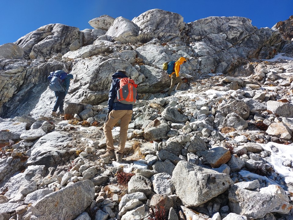
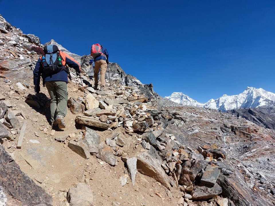
I met an Australian team near the top of the pass. As usual, I wasn’t exceptionally fast on the uphills, but I was faster than many groups. I did the last 100m elevation gain with this group.
I took a bit of a break at the top of the pass. I knew a few things at this point – this would be the last time I descend from above 5000m for some time, today would be my first day below 4000m in 8 days – and most importantly, if I can get back to Lukla quickly enough, I might just be able to get to the Annapurna Region for a quick hike up to Annapurna Basecamp.
I said farewell to the Ausies and began my descent.
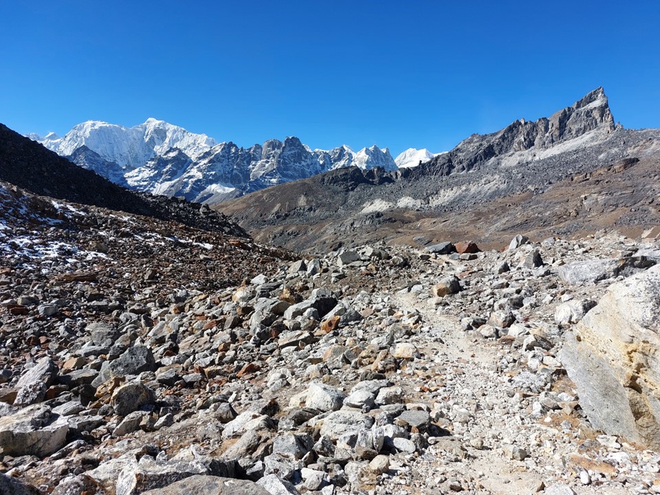
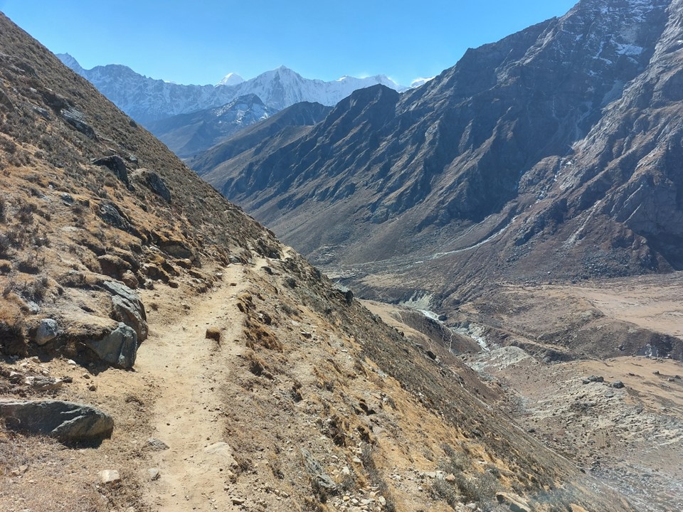
As with the other passes, the west side was steeper and less stable – but this loose ground is similar to my home terrain, and I made quick progress down the top section.

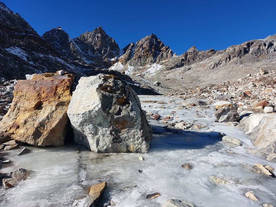
I stopped for a morning break next to a partly frozen lake. I got as far as putting my feet in before deciding it was too cold and sitting on a rock and eating a snickers bar!
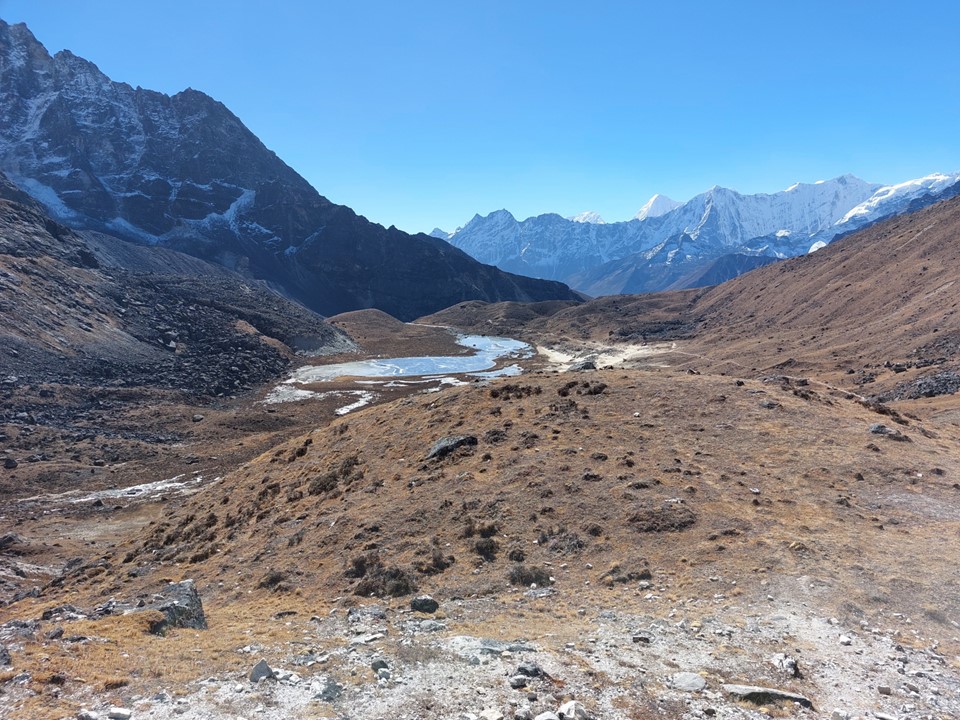
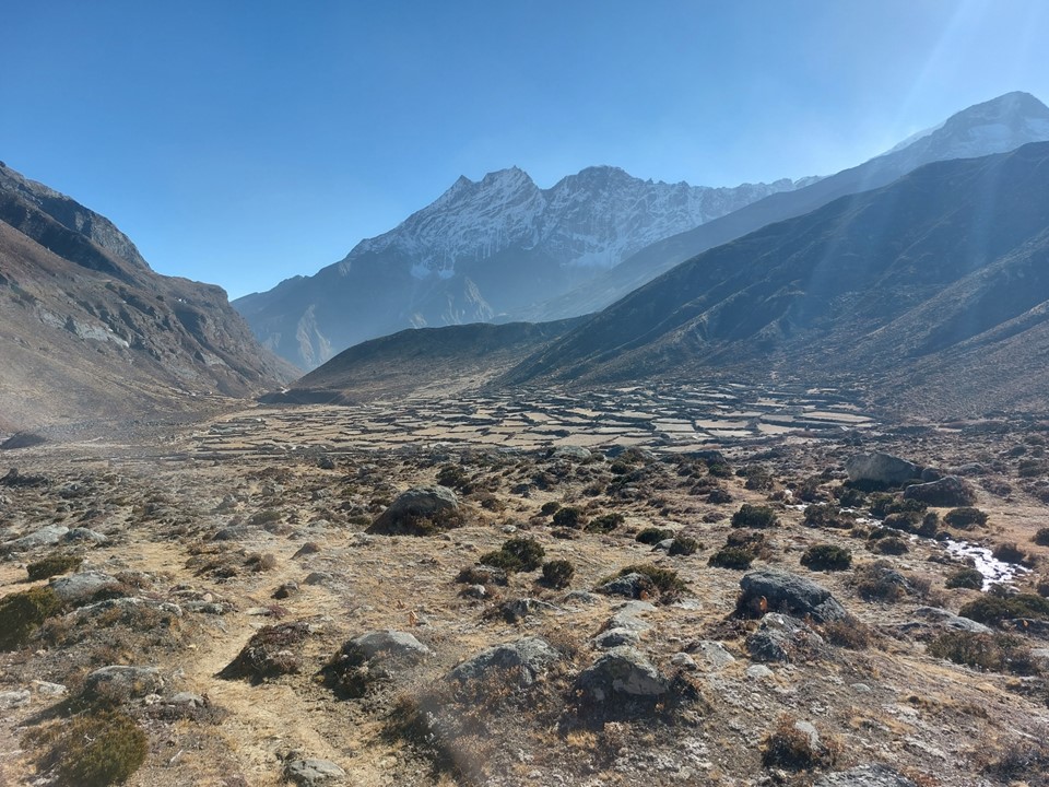
It was a lovely warm morning, and the views were great. I made good time down this valley.

Surprisingly I had the valley to myself. Between leaving the top of the pass and reaching the town of Lumde I only saw three porters. The stretch between Gokyo and Lumde is surprisingly far without any tea houses.

Lumde was smaller than I expected. There only seemed to be three tea houses in total. I stopped at the first one I saw and had lunch there – some momos (Nepalese dumplings) with some tea.
After being above 4600m continuously for more than a week, I was now below 4500m in the middle of the day. For most of the previous days I had been at my altitude high point for the day around midday – so being this low at the hottest time of the day meant I was warmer than I had been for a while. I stripped down to a single layer – there is something nice about just wearing one layer after being in cold conditions for so long!
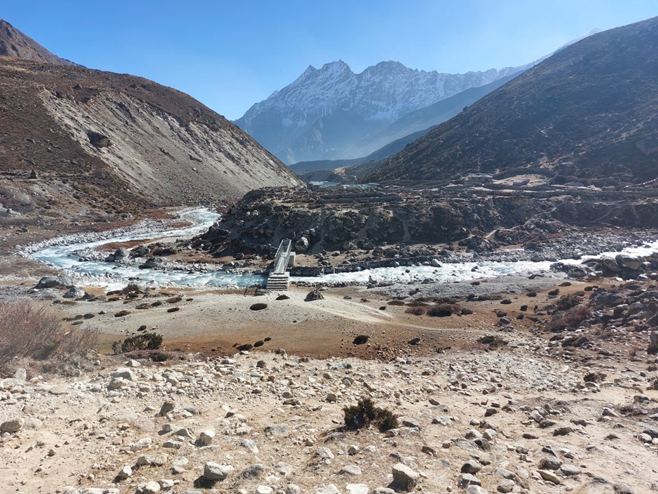
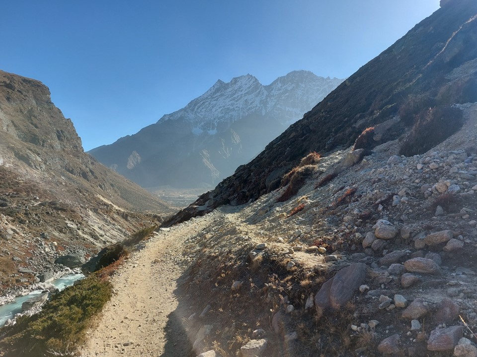
As I continued down the valley, I still was almost entirely alone. I occasionally would see someone in the distance, or pass someone going the other way – but there was practically no one else anywhere near me. I walked through a town with a series of houses but no one in sight – it was a very strange experience!
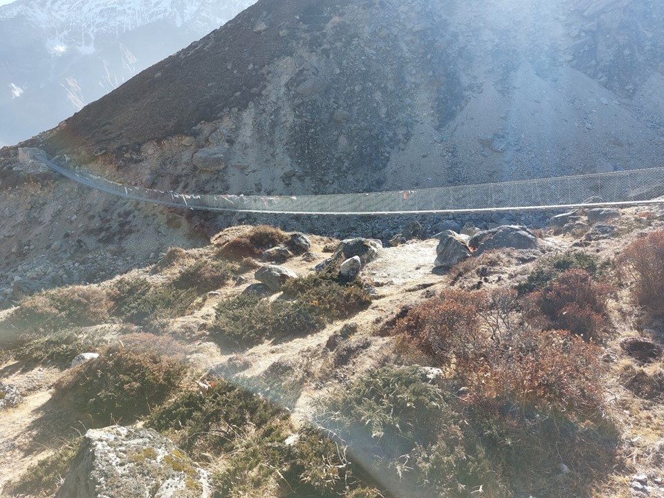
I eventually saw a very long bridge over the river. My GPS track was unclear about where to go, suggesting that I should be roughly in the middle of the river at this point – GPS devices don’t do well in narrow valleys, so it is hard to say if the track was wrong or my device was wrong (or both). I crossed the bridge only to realise that it lead to a monastery and a few houses. I crossed back and eventually figured out the way again.


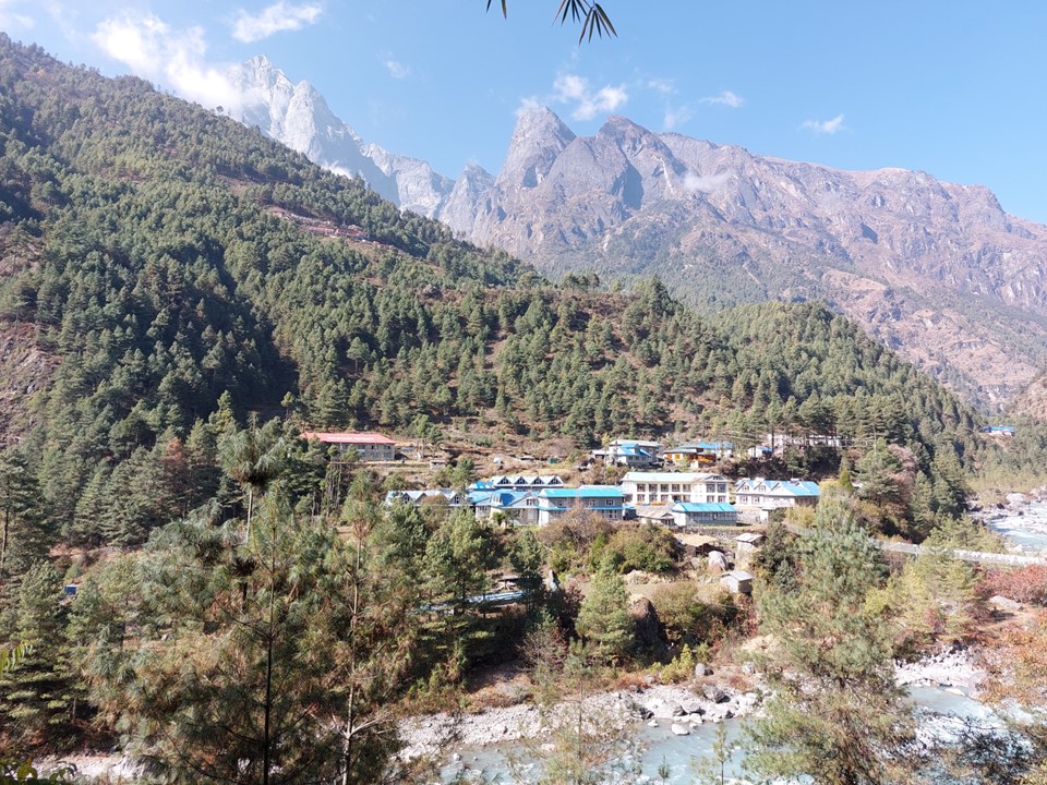
I soon reached the outskirts of Thame. The town was considerably larger than I had anticipated, probably bigger than Namche. Thame had been my goal for the day, but it wasn’t even 2:30 yet. I realised that Namche from here was doable in the remaining daylight, albeit not easy.
As I begun my descent into the lower region of the town, however, a strong wind picked up and there was a dust storm. I decided to call it a day. I went to the Yak Tea House, which a few people had recommended to me the day before, arriving there just after 3PM. I was the only person there when I arrived, but soon the place was roughly half full.
I ordered some food, and while it was prepared, I decided to have a hot shower. This was my first shower since Dragnag. I had just been thinking how it had been so great that I had made it this far on the hike without a single fall, when a slippery shower floor conspired against me! Luckily I was fine, just a bit sore.
The daughter of the owner of the tea house was staying there. She is living in Japan and is studying international diplomacy – I had a fascinating conversation with her. She is fluent in at least 5 languages, clearly a very intelligent individual. When I couldn’t finish the exorbitant amount of food provided, she informed me that in their culture it is very rude to not finish your food – something I wish I had known earlier in the trip as I had often struggled to finish a full dal bhat, mostly because they keep topping up your rice, sometimes even when you ask them not to! At least I know for next time.
It was great spending the night at 3700m. The air felt so thick, I had so much energy – I never even woke up during the night out of breathe after rolling over!
I had an early breakfast the next morning, and left shortly thereafter. I was heading for Lukla today – I knew there was maybe as much as a 10% chance that there would be an afternoon flight that I could get on. BN in Kathmandu had informed me that some flights were now going directly to Kathmandu instead of Ramechhap. I knew if I wanted to get to Annapurna Basecamp, I needed to get to Kathmandu before midday the next day, so I could catch a flight to Pokhara. A few days ago this idea seemed impossible, now it was a genuine possibility – I knew best case scenario I might even be able to sleep in Pokhara tonight!

I crossed under a new bridge under construction. I was fascinated to see then two individuals working on it at 7AM.
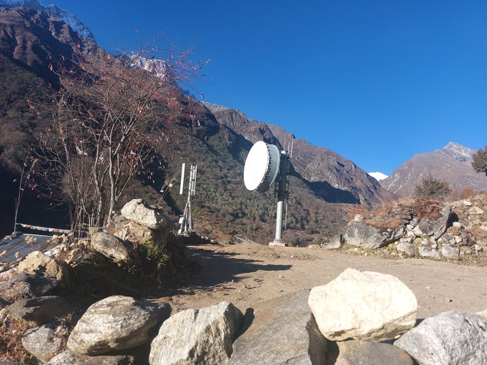
I soon saw a microwave relay tower and knew there was a good chance of getting signal again. I didn’t get it right away, but after about 15 minutes, I had signal for the first time since Kongma La many days ago. I had wifi in Dragnag, but hadn’t been able to communicate for the few days since then. I messaged my family and my running club, as well as posting a whatsapp status for anyone else who may be concerned. It was around 8AM, so it was just after 4AM in South Africa – so naturally no one responded for a while. But you never know how long it will be till you next have signal – unless the town is Namche, in which case you do know. I hadn’t really thought it through at the time, my logic seemed to make sense when I did it.
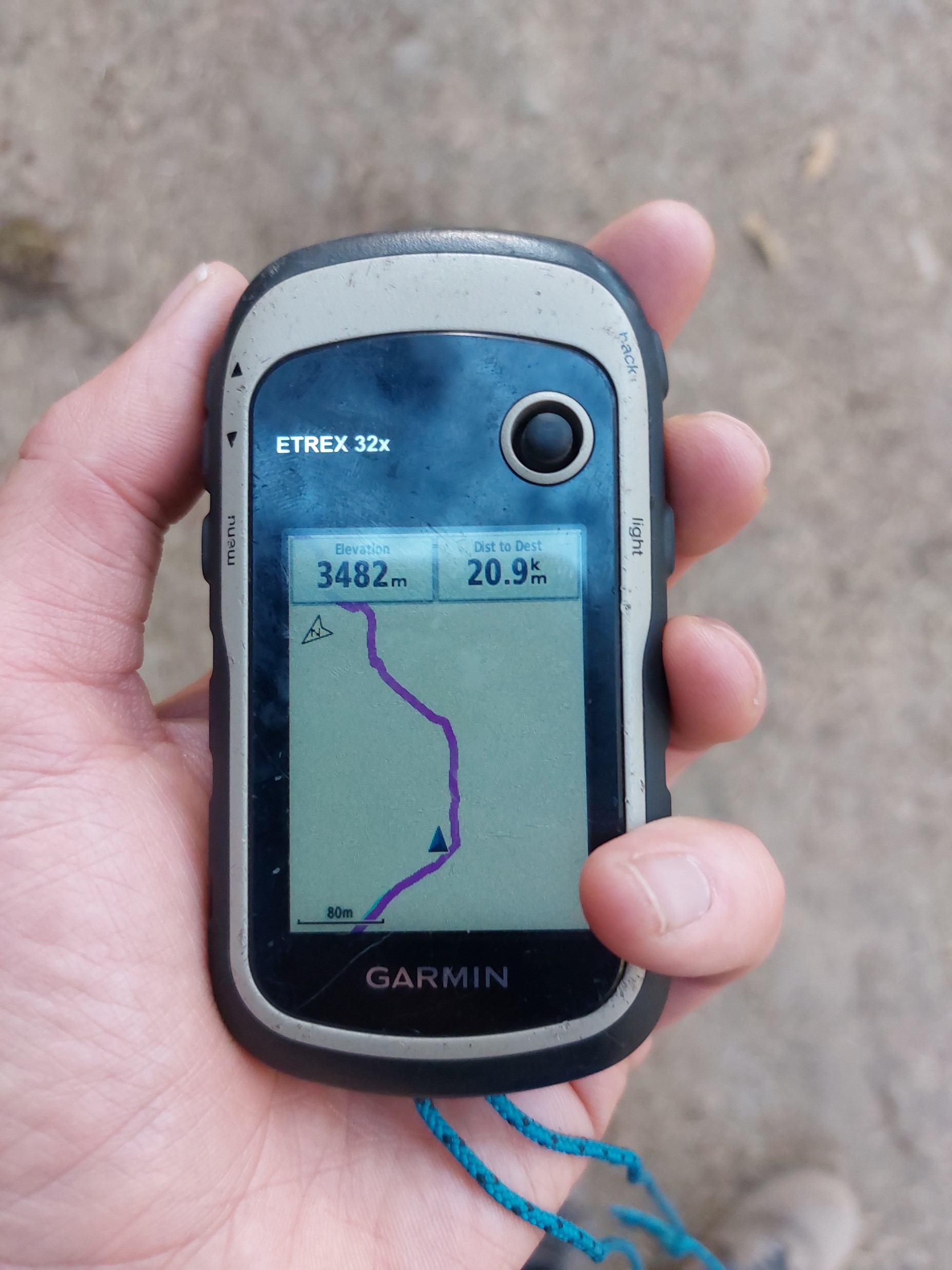
I chuckled as I dropped below 3482m – the height of the highest point in Southern Africa. Here I am so happy to be breathing this lovely thick air, yet I’m still at the highest elevation I can reach within a relatively short trip from my home.
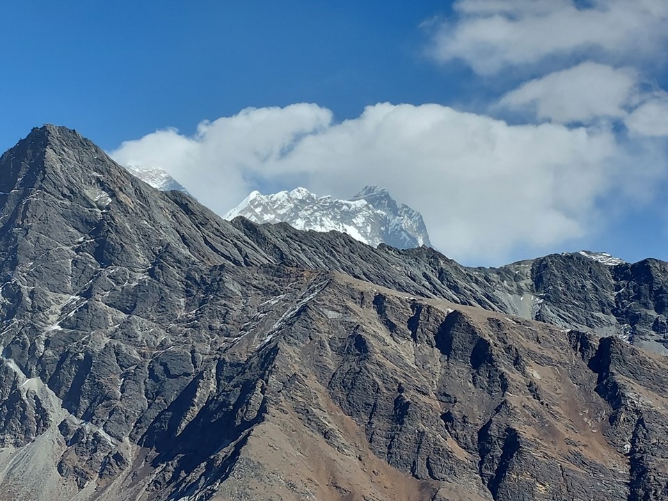
Walking into Namche I could see Ama Dablam sticking out in the distance. My old friend – you shall be missed! While, in my opinion, Cholaste and Tabuche are the most beautiful mountains in the Everest Region (maybe even the planet), Ama Dablam has had a place in my heart for many years – and seeing it again was special, even if only the top was visible.
I stopped in the town to buy a few things before heading out.
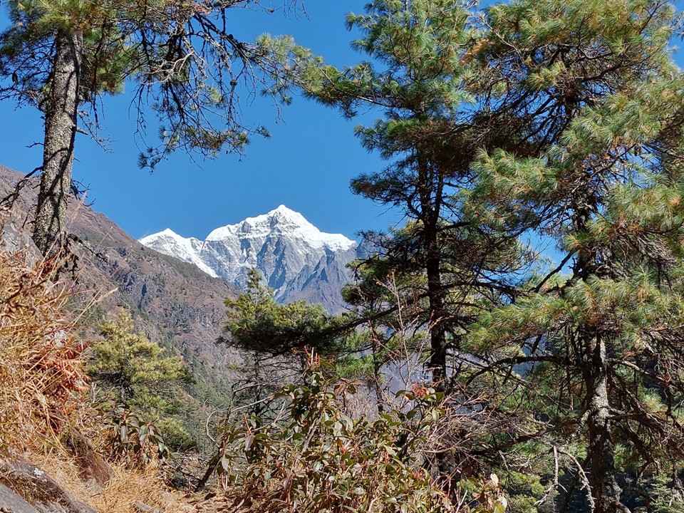
I soon reached the spot usually referred to as the first view of Everest, On the way in it had been hidden, but this morning I could see it clearly. Farewell mighty mountain – you impressed me more than I expected.
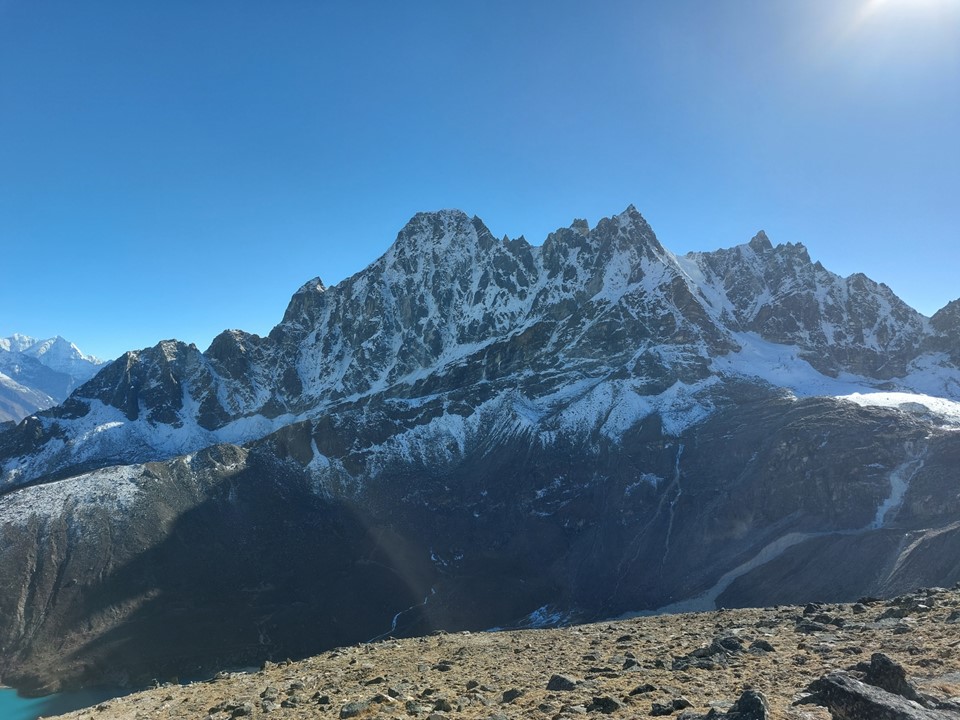
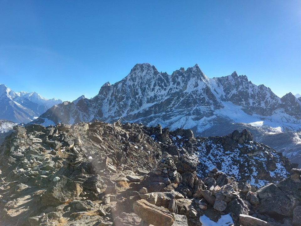
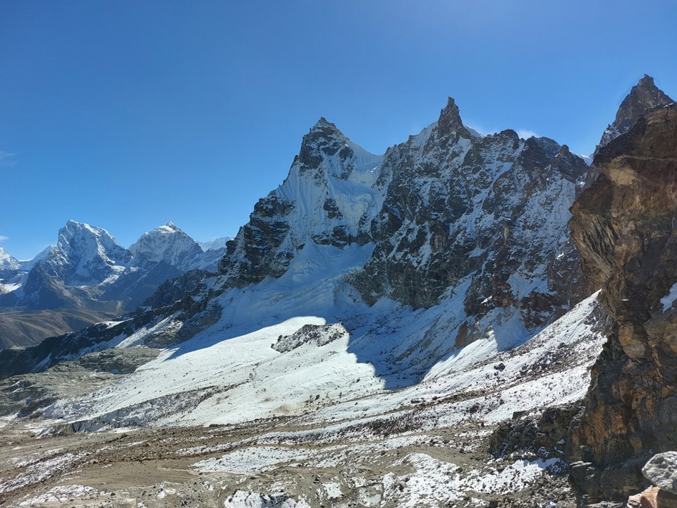
And then I saw the sacred mountain for the last time – Tabuche. I got a photo of it and posted it as a whatsapp status with a caption “farewell Tabuche, I think I am going to miss you the most” (Wizard of Oz reference intentional). I can say many things about my 12 days in the Everest Region – but without a doubt Tabuche was the peak that spoke to me the most. I can entirely understand why the locals consider this peak to be sacred – it is unquestionably the most special mountain I have ever come into contact with. I honestly can’t pick between Tabuche and Cholaste for the most beautiful mountain I have ever seen – but Tabuche was with me for far more of the hike.
Incidentally, at the date of writing this I have four different large canvas prints that include Tabuche, as well as a cup with a picture of it. As I sit at my desk at work and look at my wall – I have Everest and Nuptse as seen from Kala Patthar in front of me, and to my right I have Cholaste and Tabuche as seen from Gokyo Ri.
Once I had passed Namche, the number of tourists I saw was well over 200. I internally chuckled at the people complaining about how steep the hill to Namche was with their super light packs – remembering more than a week earlier when I had slogged up the hill in failing light with my 15kg pack on and low energy.
I left the nature reserve around 10:30AM and signed out of the municipal permits zone before midday. I knew I needed to buy a ticket on a flight, and that meant I needed to reach Lukla before the ticket offices closed. By this point I realised it was unlikely I would get a flight the same day, though.
As I was about 5km short of Lukla I heard a plane taking off. I could see it shortly thereafter – there had been a flight as I had hoped, and I had missed it. In a 30km day, I had missed it by only 5km.
On the way out I had not flown into Lukla, so I had walked around the hill on which the town is found. The slog up to the town was no joke!
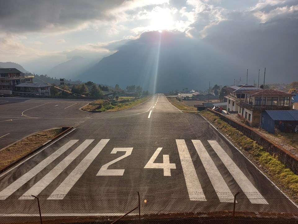
I soon found myself looking at one of the shortest runways on earth, at what is often said to be the most dangerous airport on earth. I had seen this photo many times, so it was great to be the one behind the camera this time! I stopped at the first ticket office, they had space on a flight to Ramechhap for the next day, but told me no one was flying directly to Kathmandu. I went from there to Summit Air – they said they had one direct Kathmandu flight the next day, and it had one seat left. The man asked me for my passport and them promptly ran away. There I was standing at an office without my passport hoping he was running to sort out some paperwork.
15 minutes later he returned with a piece of paper and told me to be at the airport by 6AM the next morning with cash. He gave me an exchange rate, so I realised I had to pay in the local currency despite the amount being a USD price.
I went to the tea house just behind the airport. I know accommodation near airports is usually very expensive, but I thought I’d try anyway. I had clearly forgotten what country I was in – much like every tea house, with only three exceptions, it was NR500 for the night, or NR1000 if I wanted to shower. I wanted to shower, and as an added bonus, I was told that if I want to shower, I get a nicer room, so I decided to take the shower and take the “super expensive” upgraded room that effectively cost about R160 and was 200m from the airport.
I needed to charge my phone – it was great being back in a region where I could do that without paying extra – but there was no plug in my room, so I sat in the bar with a large group from England who were doing their end of hike speech/prize-giving. Being a random person in the room for that is always a bit strange – more so since my phone was on charge and I couldn’t keep myself occupied by finding something to do on it! We then watched Japan beat Germany in the Fifa World Cup match – which was actually a really good game, I rarely watch football.
I was up early the next morning for a super early breakfast, and was at the airport just before 6.
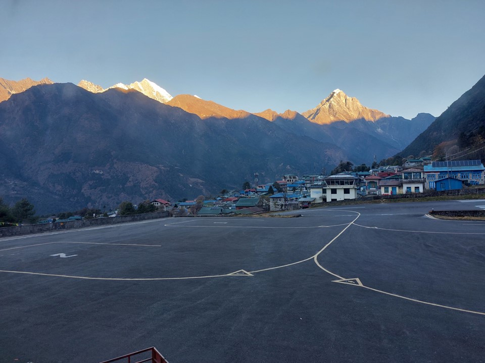
No one explained anything – it was absolute chaos. But eventually my bag had been dropped off (there’s no hand luggage on a Lukla flight), and I was in a very crowded waiting area. What followed was a 2 hour wait. The first flights took a while to arrive – so the room was really crowed for a while. Seeing as I had nothing better to do, I timed each flight between landing and taking off again. Counting taxi time, 7 of the 10 flights before ours took less than 8 minutes between touching down and taking off again. The three that took longer were bringing cargo in, which takes considerably longer to unload. I seem to recall reading somewhere that Lukla Airport has the shortest turnaround time on flights at any airport in the world – mostly because you can’t refuel there and the weather can change so quickly that they don’t even turn the engines off, meaning they can get out of there very quickly.
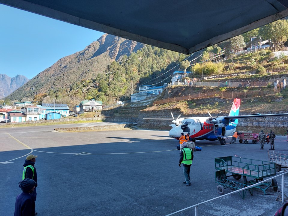
Our incoming flight happened to be a cargo one too – but eventually we were on. It was a Summit Air L410. The flight safety talk for this one is roughly a minute – which is ironic seeing as Lukla flights have a higher accident rate than practically anywhere else, although I guess they rarely have survivors, so it doesn’t really matter!
We taxied to the top of the runway. The engines were run to full power with the breaks on. The runway slopes down at an 11 degree angle, and is only 527m long. As the plane started jerking forward even with the breaks on, the breaks are dropped and the plane starts shooting forward – a bit like a roller-coaster. In a few moments we were in the air, flying away from Lukla on a beautiful morning.
Leaving the Everest Region was a strange feeling – unquestionably the most amazing location I have ever been to, I had had perfect weather, and almost everything had gone exactly according to plan. While I had high expectations for the trip going in, I had severely underestimated how meaningful this trip would be to me.
We were informed over the radio that this was our captain’s last flight after more than 20 years of making this flight. The flight took almost an hour, despite the advertised 25 minute duration – but I was just happy to land safely in Kathmandu!
There was a problem with baggage collection at Kathmandu’s domestic terminal, so there was a large crowd waiting – all from different flights. When the luggage from our flight came through in a large trolley, I could see my bag at the top of the pile, so I asked if I could just take it without waiting for them to be unloaded properly – they allowed this, and I was soon walking out of arrivals and into the ticket office of departures – the question: how close can I get to the start of the hike to Annapurna Basecamp today? A question that will be answered in the final portion of my writeup on my Nepal trip.
On a side note – a few people have been asking me about gear, advice etc. I will do a separate post about that similar to what I did with my Kilimanjaro writeup many years ago. https://jonathantheghaznavid.wordpress.com/2017/07/12/some-tips-for-climbing-kilimanjaro/

Excellent, thanks for the last comment. Really enjoyed reading about your trip. I’ve never really considered heading there, but your words and pictures have inspired me to make a mission!
Thanks Ghaz. I really enjoyed reading about your trip. We went to Nepal in 2017, doing Gokyo Lakes / Cho Lo Pass and EBC before returning to Lukla. It was the most incredible and memorable trip. A truly special place. Hoping to go back in 2024!