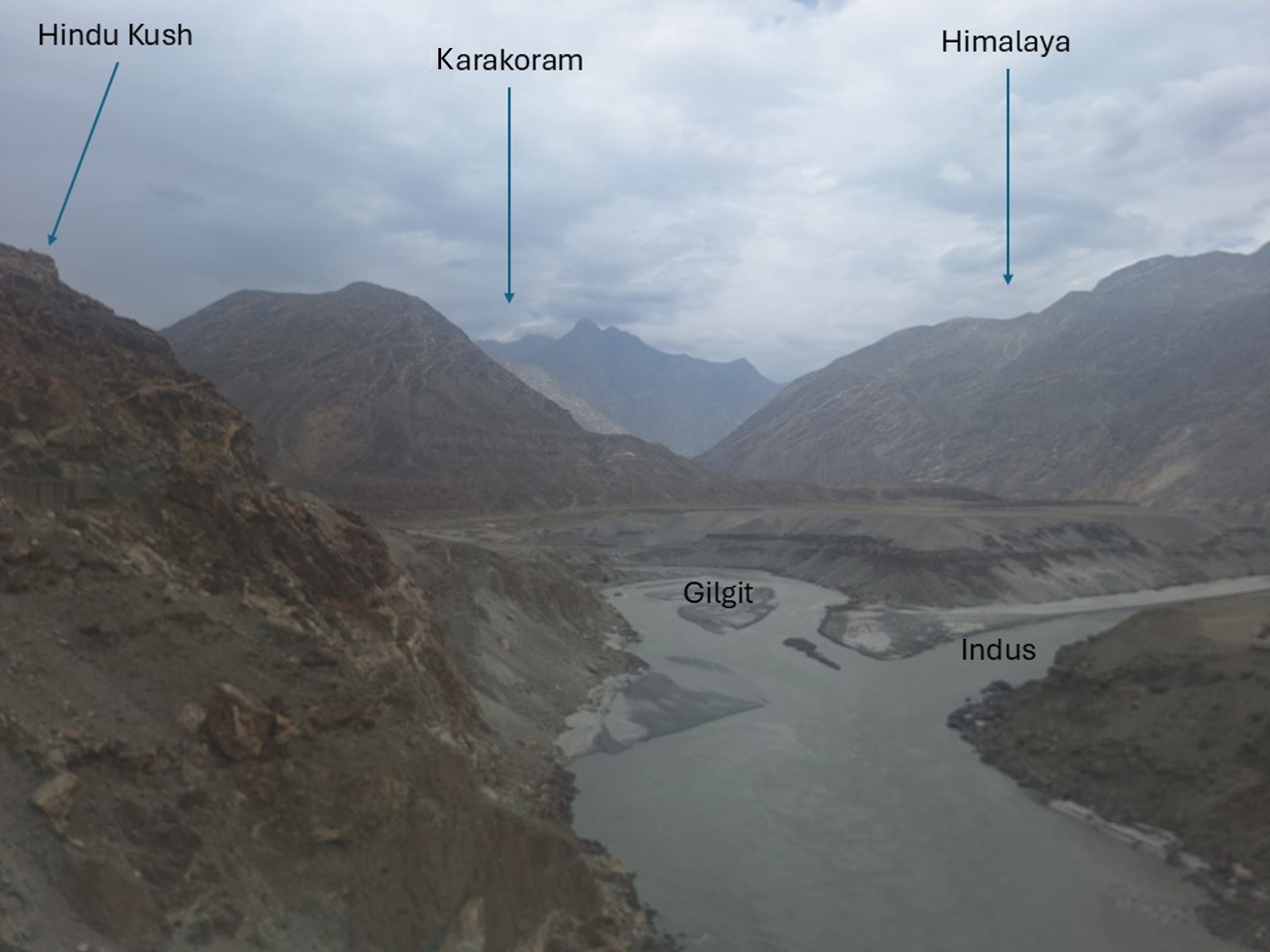
Classification of mountain ranges is something I’ve had strong feelings about for many years, so when I heard that we’d be traveling through the location where the Karakoram, Himalaya and Hindu Kush meet – I naturally had to do some homework on this location. Claims like this often disregard observable facts in favour of marketing. Long story short: I have done a fair amount of homework on this claim, and do agree with it.
Explanation: the Karambar River flows down from the lake below the south side of the key saddle of Tirich Mir, thus logically separating the Hindu Kush from the Karakoram. The Karambar then flows into the Gilgit River, which flows into the Indus at this location. While the Indus doesn’t flow from the key saddle separating Everest from K2 – which happens to be at the source of the Kali Gandaki River in Nepal – I’ll accept this claim due to how significant the Indus River is, both historically and to the region. I would also have a difficult time making an argument that placed Dhaulagiri in the Karakoram! To be honest, if I had guessed beforehand, I would have thought the source of the Indus would be the key saddle for K2, but as has happened many times in researching mountains, reality is often surprising.
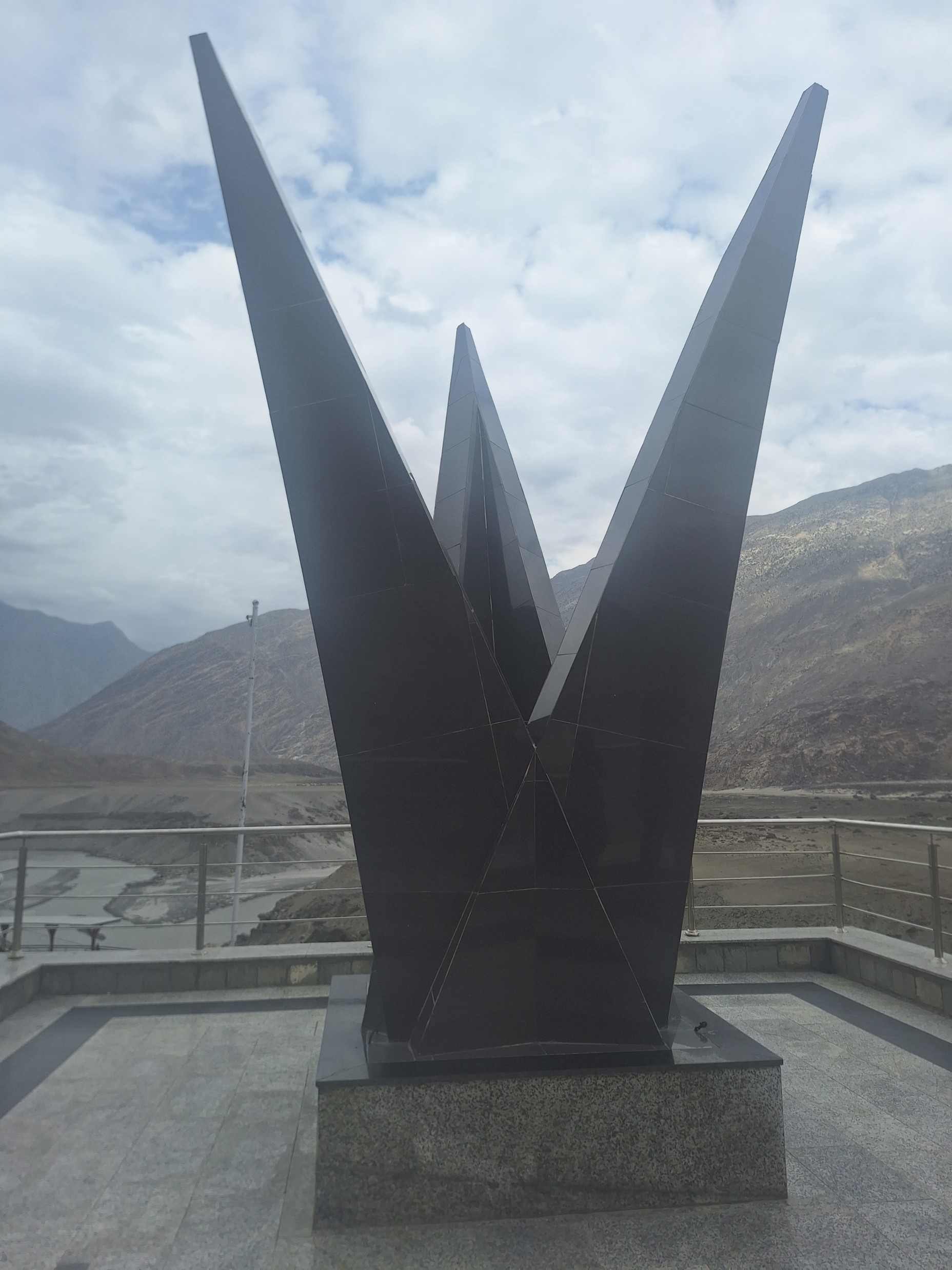
We stopped briefly by the monument at the junction

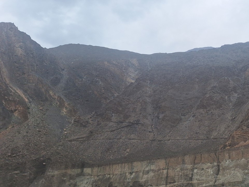
We briefly stopped a bit later to see a road carved into a mountainside, which happens to be part of the Silk Road – the history of Pakistan is truly fascinating!
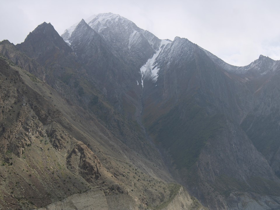
The weather wasn’t cooperating, and as we reached the Nagar Valley and stopped at the river directly below Rakaposhi’s summit, we could barely see anything. It began raining soon after we stopped here. Such is life! On the bright side – I managed to get my maps of the region at the shop by this spot.
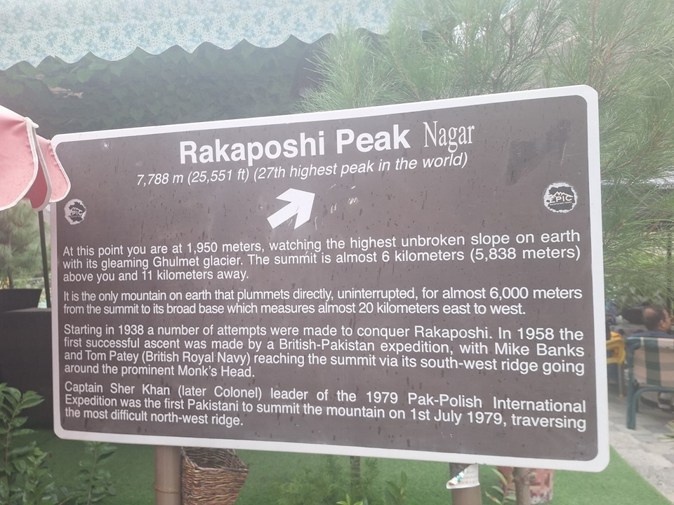
There are many definitions of mountains, but I personally rank Rakaposhi as the 26th highest, not the 27th highest as generally accepted in Pakistan. The reason is that Gasherbrum III, at 7952m, only has 461m (5.7%) topographic prominence, meaning that I don’t recognise the claim of it being the 16th highest mountain, thus upgrading Rakaposhi to 26th. As for the claim of the longest uninterrupted downhill, I think Nanga Parbat has a better claim to that.
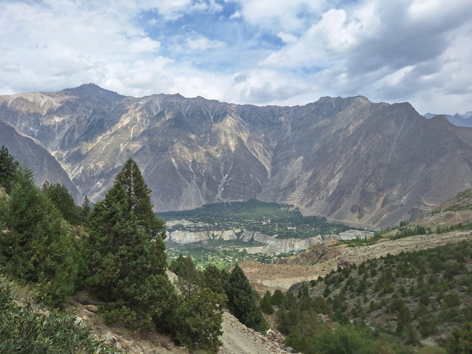
We spent the night in Minapin, a small town on the Hunza River in the Nagar Valley. Water from the Minapin River coming off Rakaposhi is channeled into the town to grow crops, making for a rather beautiful oasis in the desert.
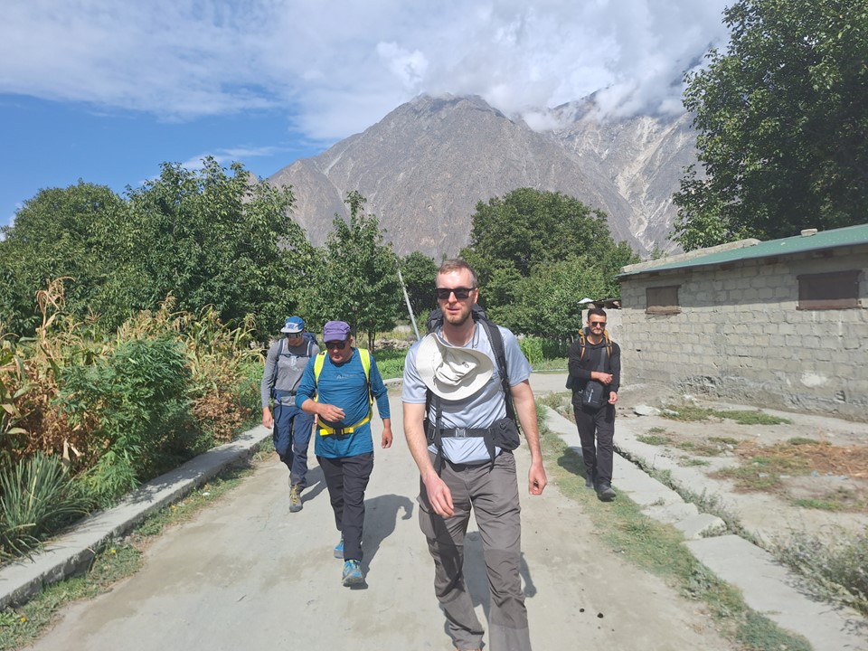
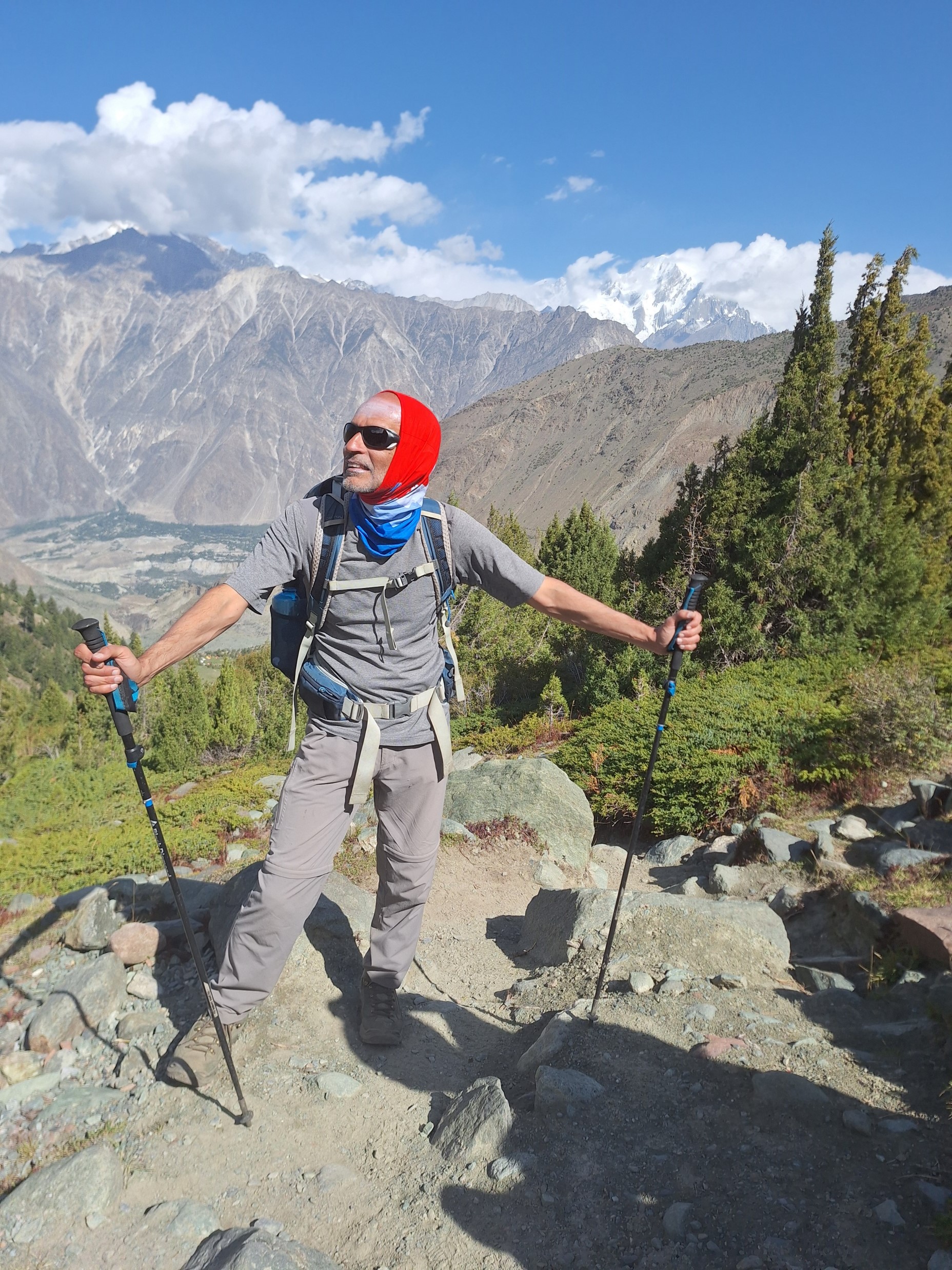
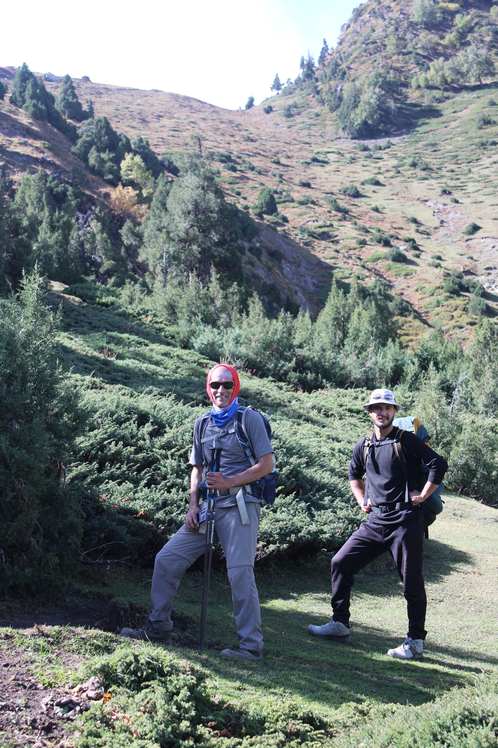
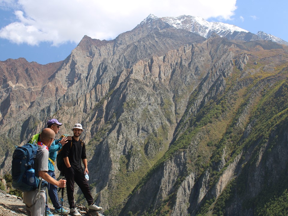
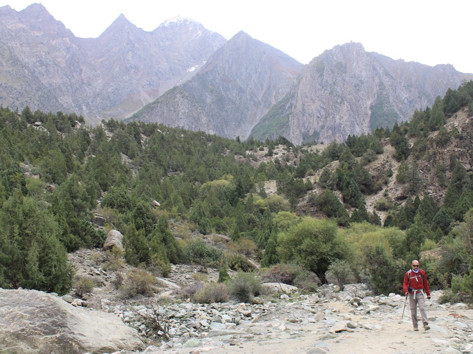
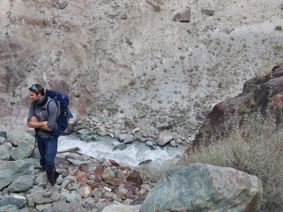
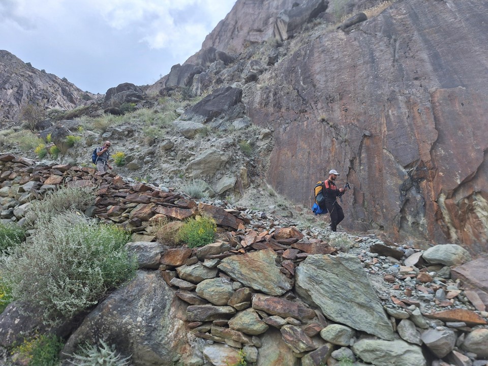
We set off from Minapin early the next morning. Ahsan, a young guide starting out his career with Hunza Guides, joined us for this hike. Unlike Nanga Parbat, where we’d be staying in chalets, this hike required tents and sleeping bags. I insisted on carrying my own sleeping bag, although my tent went up with the horse, so I was still arguably cheating.
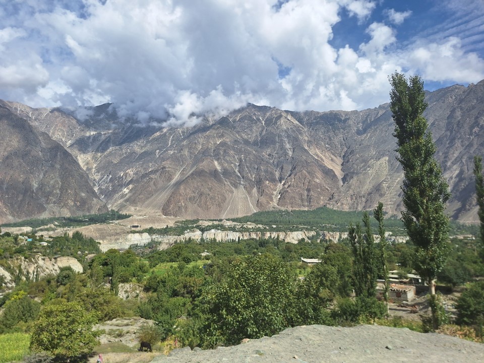
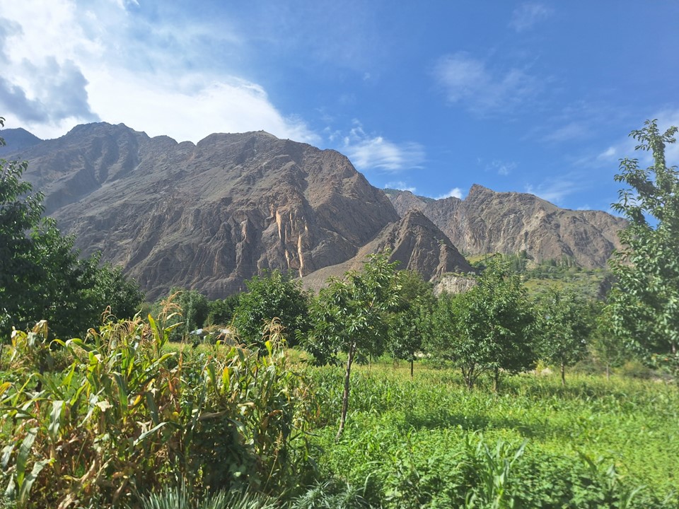
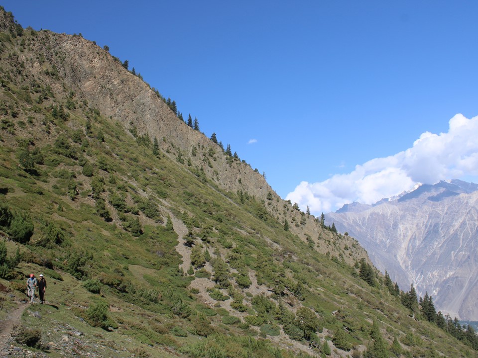
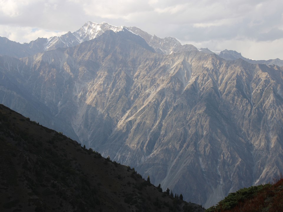
The Nagar Valley is really beautiful. You can’t really compare Nepal and Pakistan – one is essentially a jungle, and the other is a desert. The types of beauty are completely different.
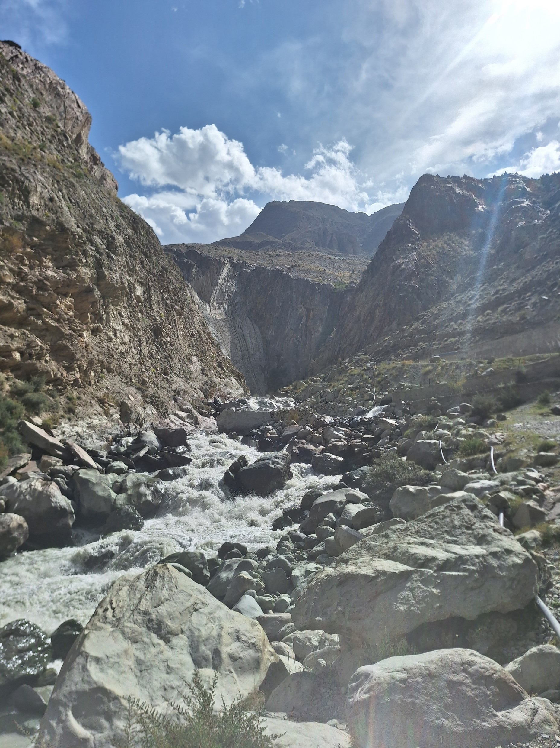
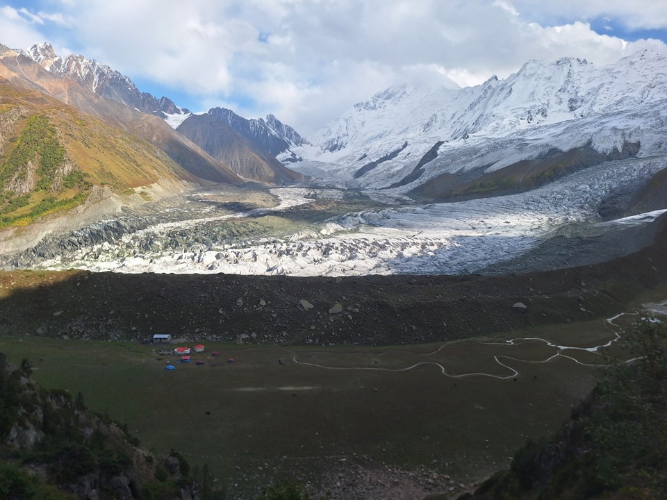
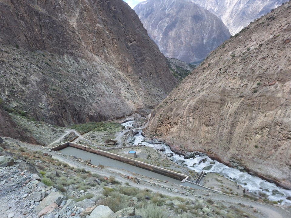
The trail starts by crossing the Minapin River, which comes off the Rakaposhi Glacier – and you can feel it is glacial as you walk over it. The icy wind on an otherwise hot morning was refreshing!
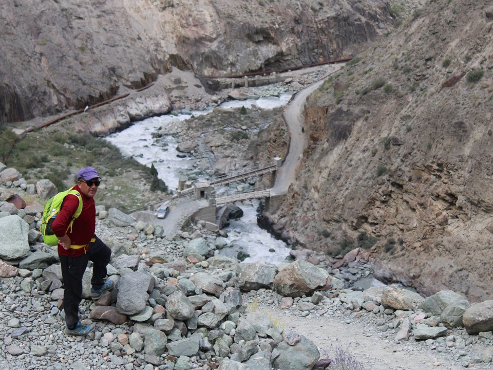
There’s a hydroelectric plant just above the town. The use of hydroelectric generation in this part of the country is substantial, which is great to see.

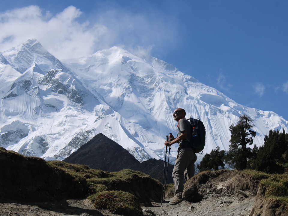
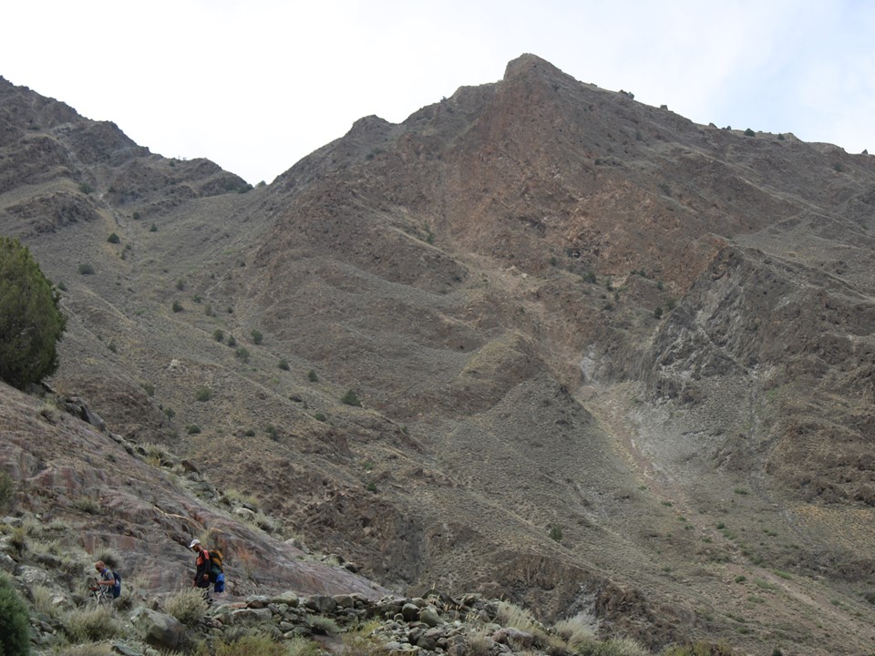
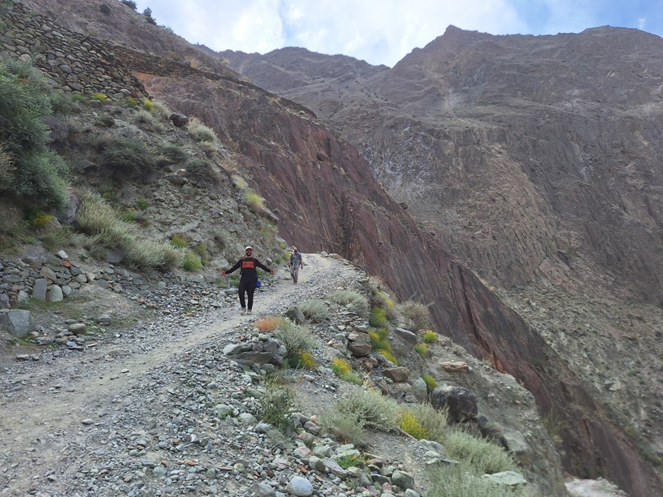
The trail starts with a steep keep track that zig-zags up the slope. As you get higher, more of the monstrous mountains surrounding the area come into sight. In clearer weather, this spot must be even more beautiful.

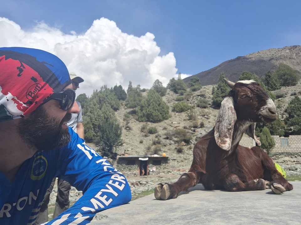
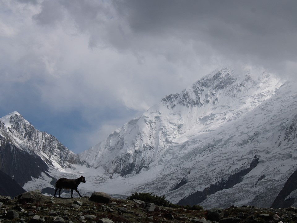
On the way up, I got a selfie with the local livestock – just so I could use the caption “selfie with the goat”.
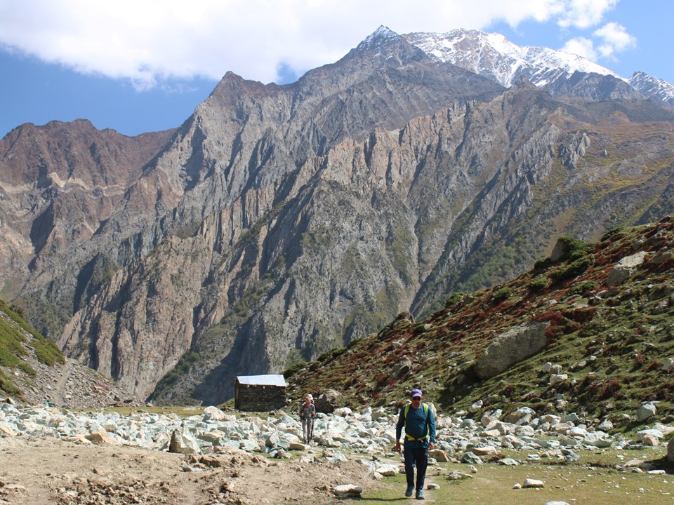
I had been starting to feel the symptoms of flu, and on the way up I could tell I as getting sick. This really hit hard as we reached the final hill towards Hapakun Camp. Upon arriving at the camp, I lay on the ground for a fairly long time to regain my strength. A few cups of tea helped!
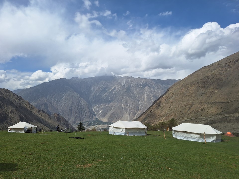
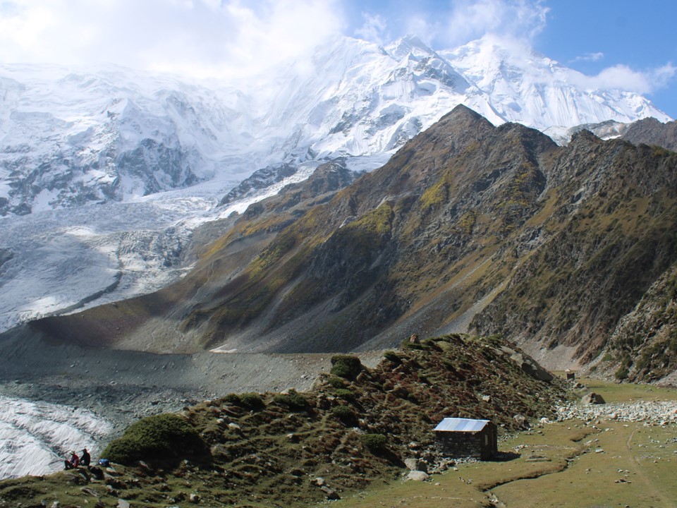
The camp is in a beautiful location on the slopes of the mountain, with a great view across the Nagar Valley.

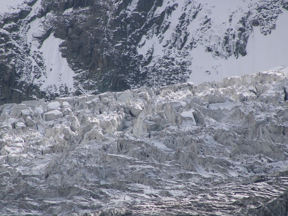
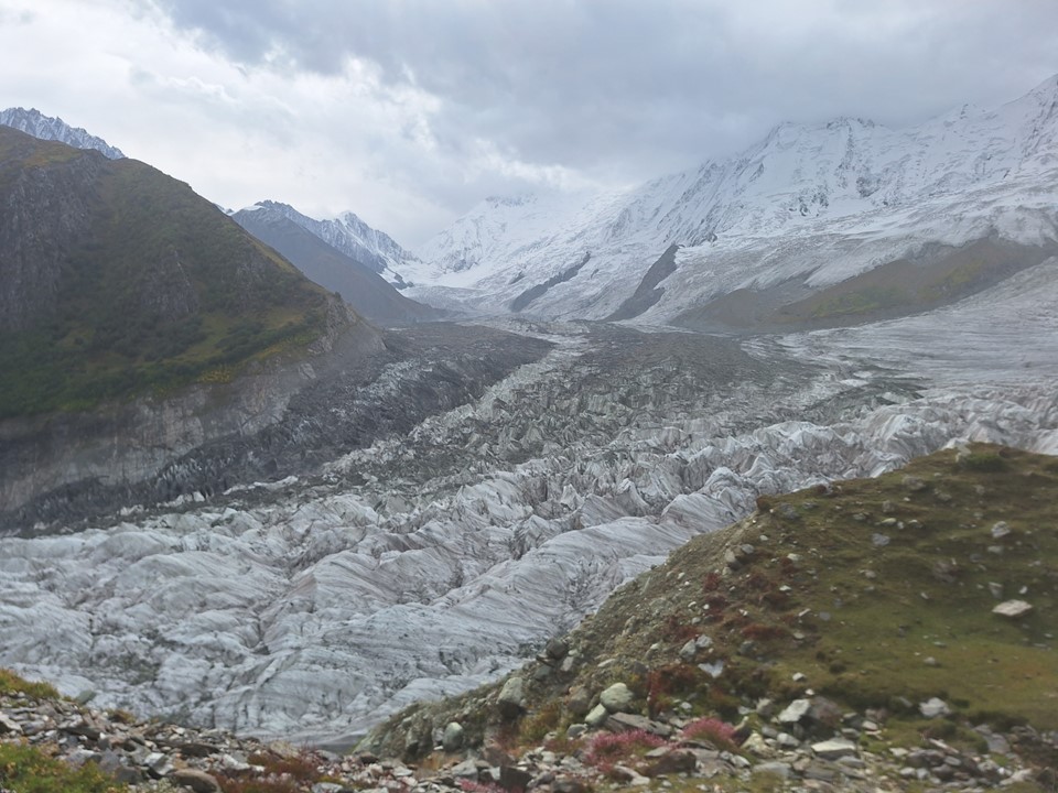
Opposite the camp is a large slope above the glacier that had a landslide at some point in the past. We heard at least 20 rockfalls on this eroded section during our stay at Hapakun. Luckily it was far from where we were hiking and thus wasn’t a factor.
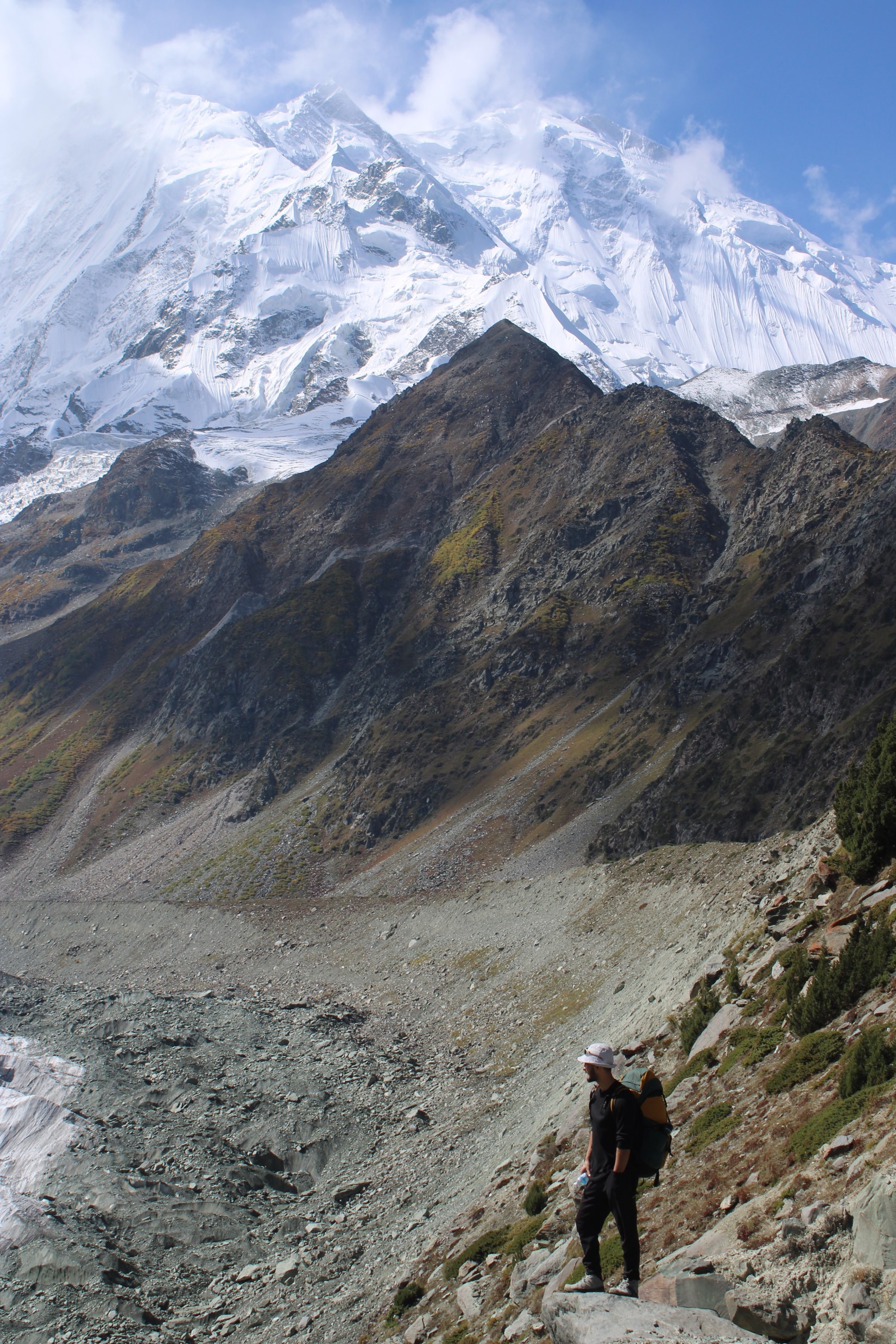
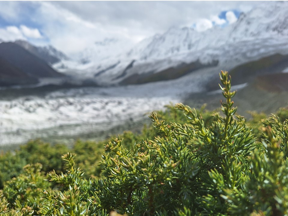
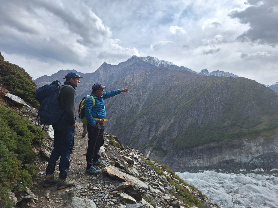
After recovering some energy, we made our way across to the glacier viewpoint.


I’d back our group to easily day-hike Rakaposhi Basecamp, but there was no rush, and it was great to enjoy the view from this location that’s often overlooked by hikers.

I was feeling sicker in the morning, and opted to give most of my gear to the horse to take to basecamp. Getting sick on trips like this seems to be becoming the norm.


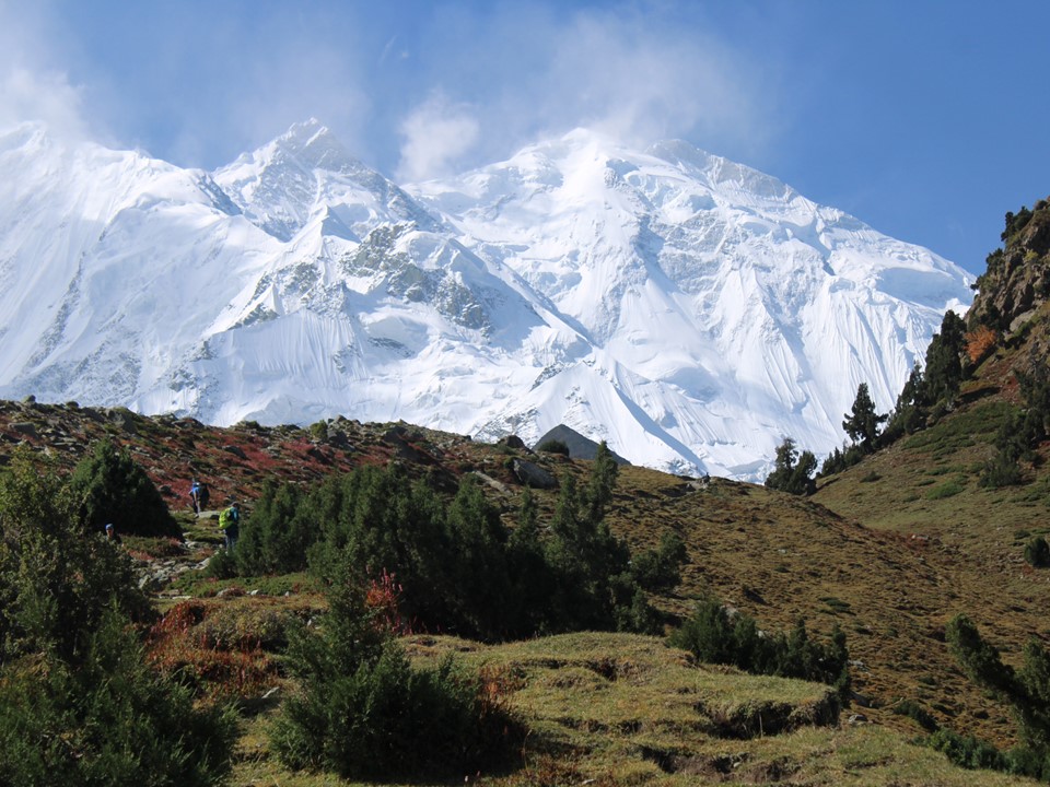
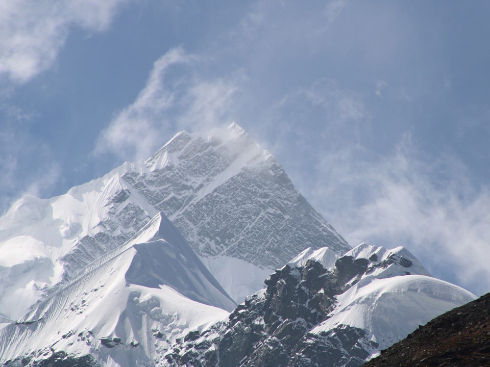
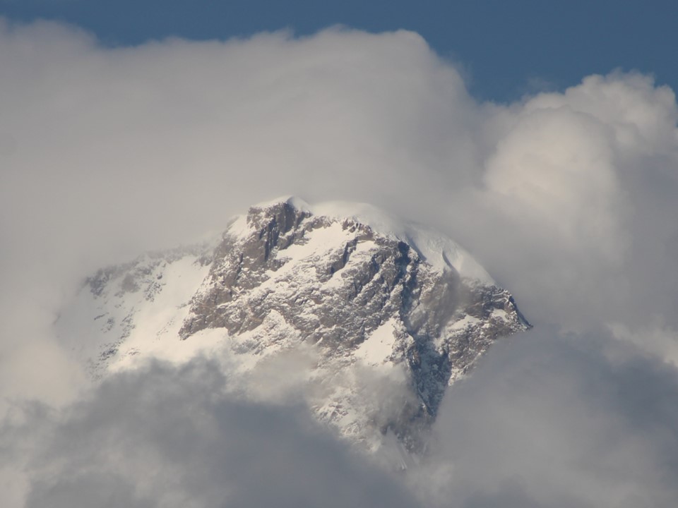
We did briefly get some clear weather and saw the summit of Rakaposhi, although the cloud moved in again soon.
The trek from Hapakun to Basecamp was a lot easier than Minapin to Hapakun, even while sick. The lack of a pack naturally helped as well.
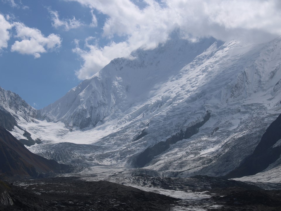
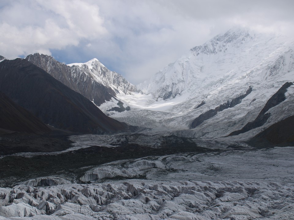
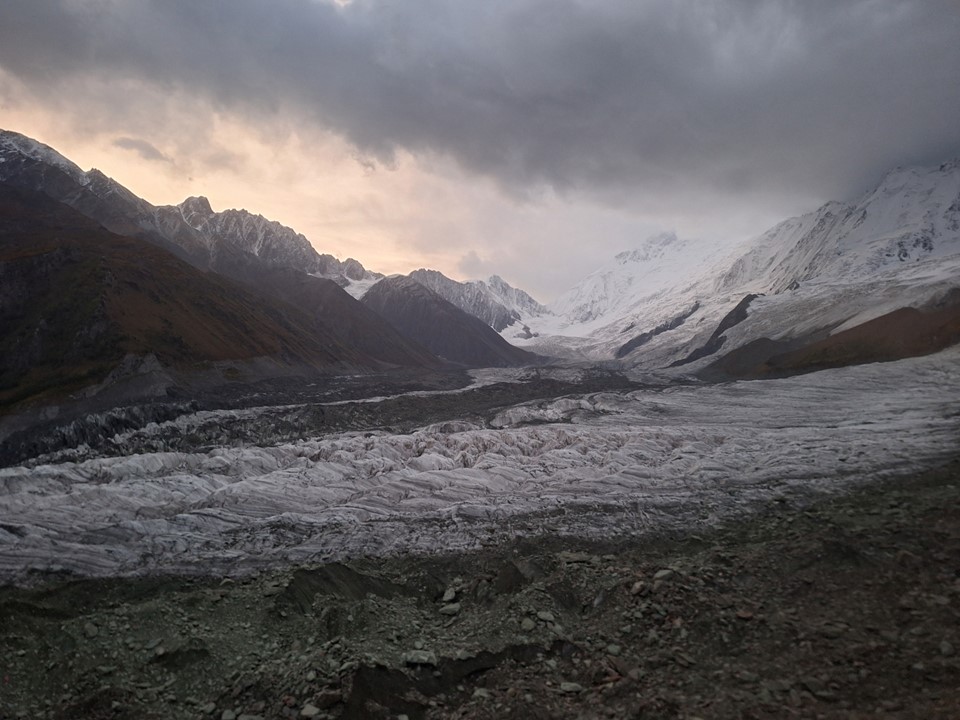
Basecamp is on a narrow flat section between the glacier and a ridge. Tents are generally placed far from the ridge – and based on the amount of loose rock on the ground below the ridge, the reason why seems pretty obvious.
It is notable that no team has ever attempted the peak from this side, so calling it a basecamp is a bit of a stretch. But it is a beautiful spot by any name, and is well worth visiting.
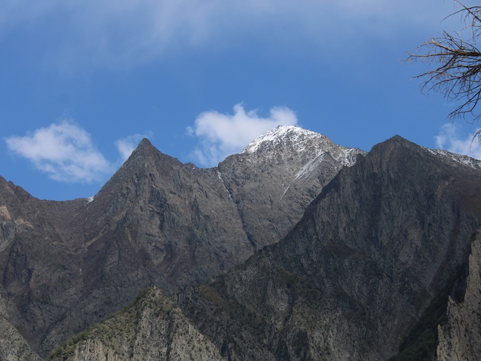
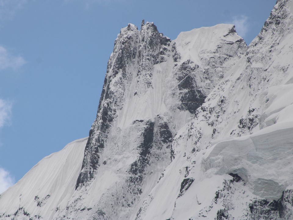
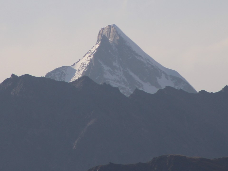
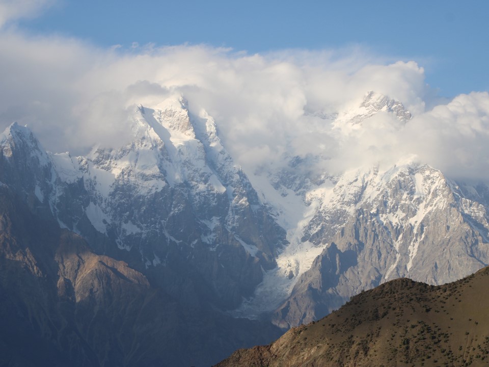
The peak in the above photo is Diran, 7266m, 92nd highest mountain.


There’s a cricket bat and ball at basecamp – so despite feeling sick, I decided to bowl some legspin. How often does one get to bowl at 3500m in Pakistan! I managed to take two wickets, albeit off terrible deliveries, one of which was caught on camera.
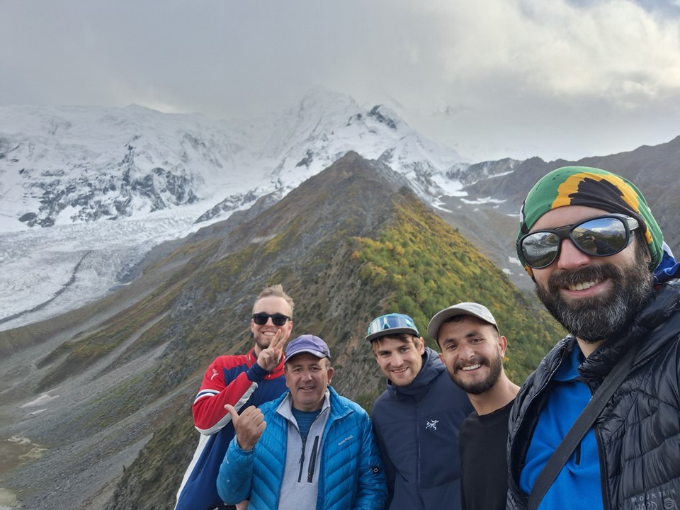
In the afternoon, after having some food and tea, I was feeling a bit better and decided to join the others on a climb up the ridge next to the camp. This is supposed to be the best viewpoint for the peak, although the weather still wasn’t cooperating.

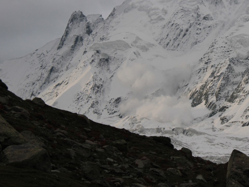
Later in the afternoon we had an avalanche. Always an amazing sight – assuming you aren’t in its path.
We had planned to head back up the ridge for sunrise, but when we saw the clouds were still there, we decided to skip it.


The hike down proved largely uneventful.


Upon our return to Minapin, we had a traditional local dish cooked in a carved stone pot. Pakistan has a great reputation for food, and didn’t disappoint!

Overall I am happy to have done both Fairy Meadows/Rakhiot Basecamp and Rakaposhi Basecamp. If I return to redo one, I’d go with Rakaposhi Basecamp – the lack of infrastructure and crowds does make it more appealing to me, and in many ways, one feels much closer to the mountain on this hike.
From here, the trip turns to the Hunza Valley – stay tuned for the third and final part of this story…
