Where is the line between a hill and a mountain? When is a summit significant and when is it just a high point on a ridge? There is no one correct answer to these questions, and definitions vary from country to country and region to region. In Scotland there is a list of roughly 277 summits above 3000ft that are called Munros. In the Andes there’s the Biggar List, which is made up of 100 summits above 6000m with at least 400m topographical prominence. In South Africa – we have the Khulu List, made up of summits above 3000m, although the definition for what is included and what isn’t was never clear.
From 2012 till 2016, I hunted down the hikable Khulus, as well as some of the more technical ones. In December 2016, with the summit of Kwa-Duma on the Eastern Cape/Lesotho border, I had completed all the hiking summits on the list.
My teammate for many of these summits was Andrew – who also completed the hiking list with that summit back in December 2016. We intentionally tagged the summit at the same time so that neither of us could claim completing the list ahead of the other. For some time, Andrew had been making a point in our discussions on this topic – the Khulu List conveniently ignores Lesotho. While some argue that the Maloti Mountains of Lesotho and the Drakensberg of South Africa are different ranges – a simple look at a satellite image, or simply standing on the summit, makes it very clear that this is not the case. One can’t simply divide a mountain range because of an imaginary line drawn on a map.
The problem with this is simple – if the logic applied to the Khulu List is extended into Lesotho, one will end up with a list of over 1000 different 3000+m summits. The logical conclusion is to look for a harsher definition of what should and shouldn’t be included.
After doing some research, it seemed that most accepted mountain definitions used topographic prominence as a primary measure, and often with a ratio relative to height – usually 6% to 8%. In the case of the Biggar List, for example, 400m was used because it is close to 7% of 6000m. Depending on the source, the 8000ers were either determined on a cut-off of 500m, just above 6% of 8000m, or based on a direct 7% of height – notably it doesn’t matter which as Lhotse is the only summit above 8000m with anywhere between 500m and 1500m prominence.
A mountain with over 1500m prominence is called an ultra. There are coincidentally roughly 1500 of them on earth. Incidentally, 7% of the height of Olympus Mons on Mars – the highest mountain in the Solar System – is around 1500m. As a result, I’ve always liked 7% prominence as a cut-off for what counts as a mountain and what doesn’t.
Armed with some satellite data, maps, and the few online resources with relatively accurate prominence data, I went about the task of identifying every summit in Southern Africa above 3300m with at least 7% prominence relative to height. This spat out a list of 13 summits:
- Thabana Ntlenyana 3482m, which I had summitted a few times, first in April 2012.
- Makheka 3462m, the highest point on the Mafadi Ridge, which I tagged on Heritage Day 2022.
- Tsepeng 3430m, which I had summitted in February 2015.
- Makoaneng 3416m, which I summitted in July 2022.
- Thaba Chitja 3395m, which I summitted in February 2018.
- Champagne Castle 3377m, which I summitted in December 2014, and many times since.
- Macacacaneng 3365m, which I summitted in September 2023.
- Baneiseng 3362m, which I summitted in November 2022.
- Popple 3331m, which I summitted in April 2012.
- Redi 3309m, which I summitted in April 2012.
- Sanqebethu 3301m, which I summitted in February 2013.
- Thaba-Phafane West 3300m – but lacking an accurate survey and an official name. This is the name allocated by the website Peak Bagger. This was the only peak on the list I had not yet summitted.
Before someone notes the more famous peaks missing from the list – such as Mafadi and Giants Castle – I am aware of these peaks and have summitted both multiple times, but Mafadi has roughly 75m prominence, and Giants Castle misses 7% by a small margin. Notably if I used a 200m cut-off instead of 7%, I would just need to complete Makoaneng II, Qaliseng and Seqoqo to complete the list – as I have done the other summits above 3300m with at least 200m prominence.
In December 2022, I had attempted to get to Thaba-Phafane West on a road trip through Lesotho – but after my car was severely damaged in a hail storm, I found myself with a flat tyre around 20km out of Thaba Tseka the following day, and decided to give up on the attempt.
So in March 2024, when Andrew suggested a road trip into Lesotho to target a cluster of peaks he had wanted near Molumong – the cluster that included Thaba-Phafane West – I was immediately up for the trip.
We took the long drive into Lesotho – it was great to finally see Mokhotlong, although the town was smaller than I had expected. I often forget that Lesotho only has a population of 2.3m, with most living on the less mountainous western side of the country. We left the tar road between the town and Black Mountain Pass. The dirt road wasn’t in great shape, and Andrew did well to get his non-4X4 through that section.
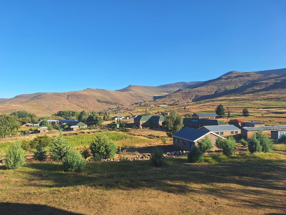
We hadn’t booked accommodation, so when the road started looking questionable and we could see we were near St James Lodge – we decided to stop there. It was a lovely stone building that was perfect for our purposes. A few online reviews are a bit harsh, but people expect a lot from a small lodge in a very remote region of the country. From my perspective, anything beyond it being clean, having a hot shower and a comfortable bed is a bonus. There was a kitchen, dining area etc – I was very happy with the place.
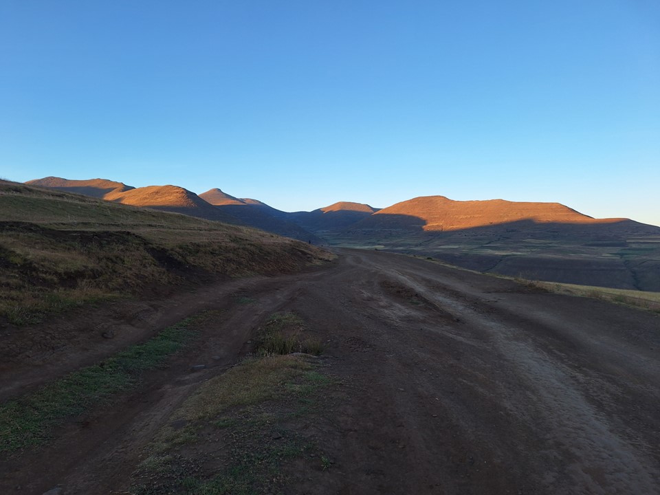
We were up early in the morning. The plan had been to drive up the road, but we had decided that it was best to rather walk up and hope to catch a lift with someone. I was feeling the hills more than I should have – I really need to do more hill training this year – but after an hour, a police vehicle stopped and gave us a lift to where we had wanted to start the hike. This saved us about three hours of walking.
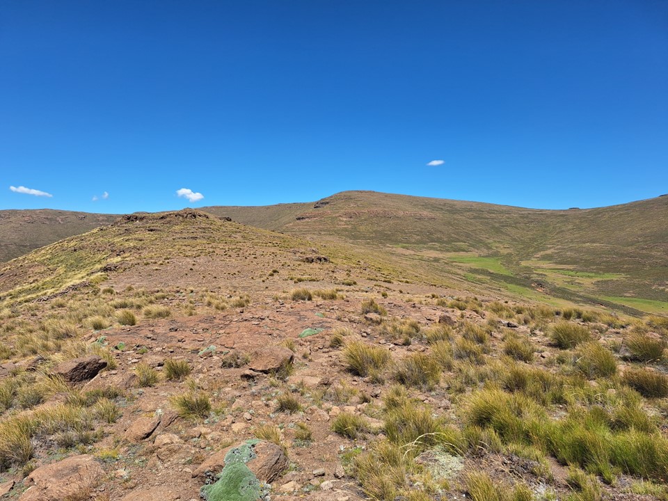
We started by heading up an unnamed 3080m peak next to the road. I wasn’t planning on joining Andrew on his 10+ peaks for the day, but decided to join him on his first one.
It was a beautiful clear day, and I was happy to get this peak.
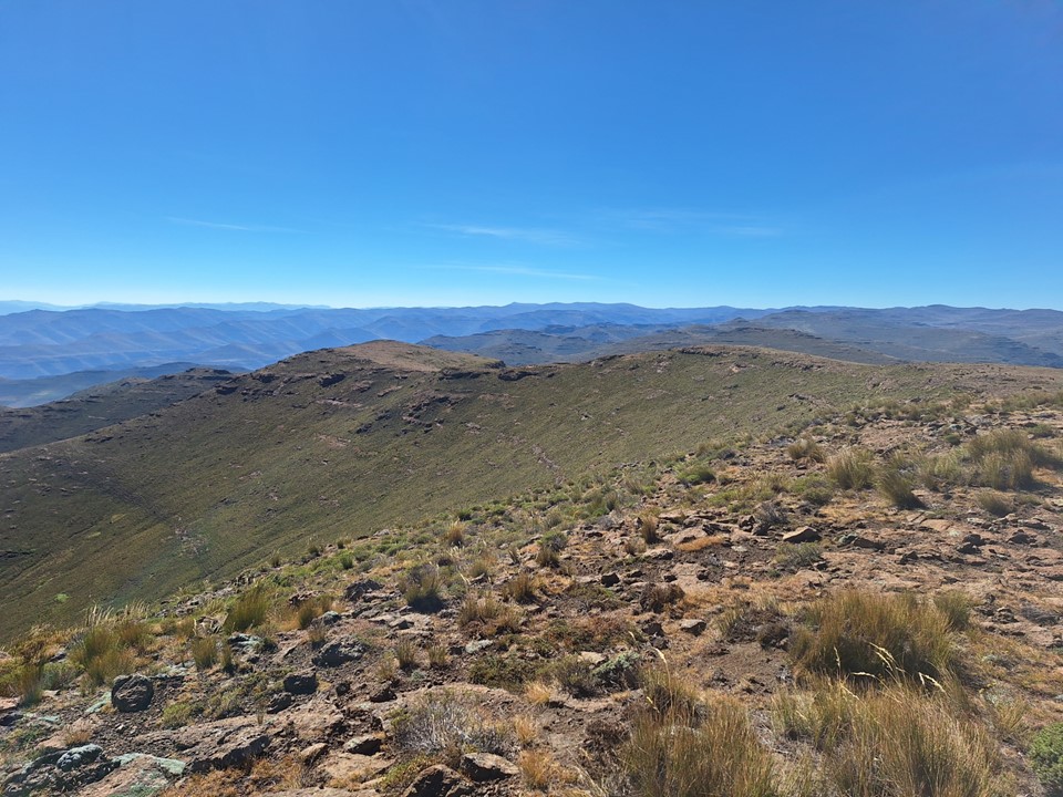
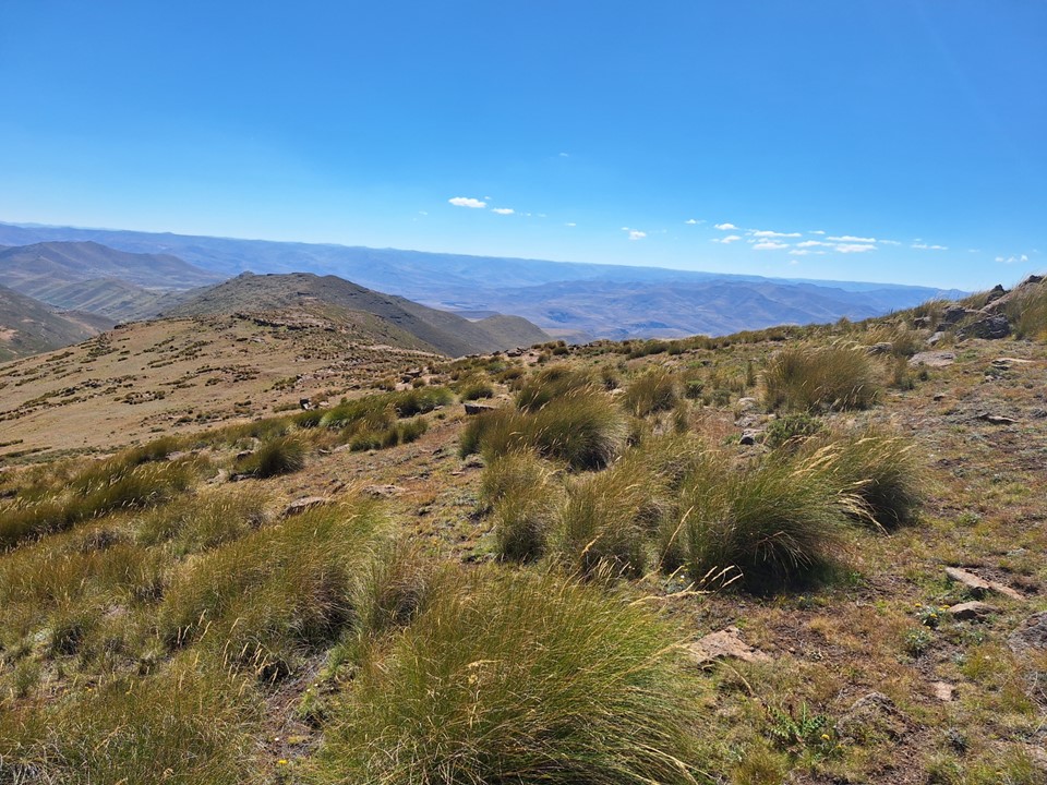
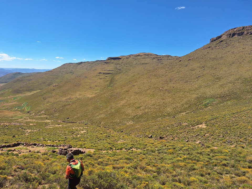
From there, we took a trail across the road to a saddle where Andrew went off to tag a peak, while I continued on towards Thaba-Phafane West. I had planned my line in advance, based on following tracks I could see on Google Earth. The line was fairly direct and surprisingly efficient.

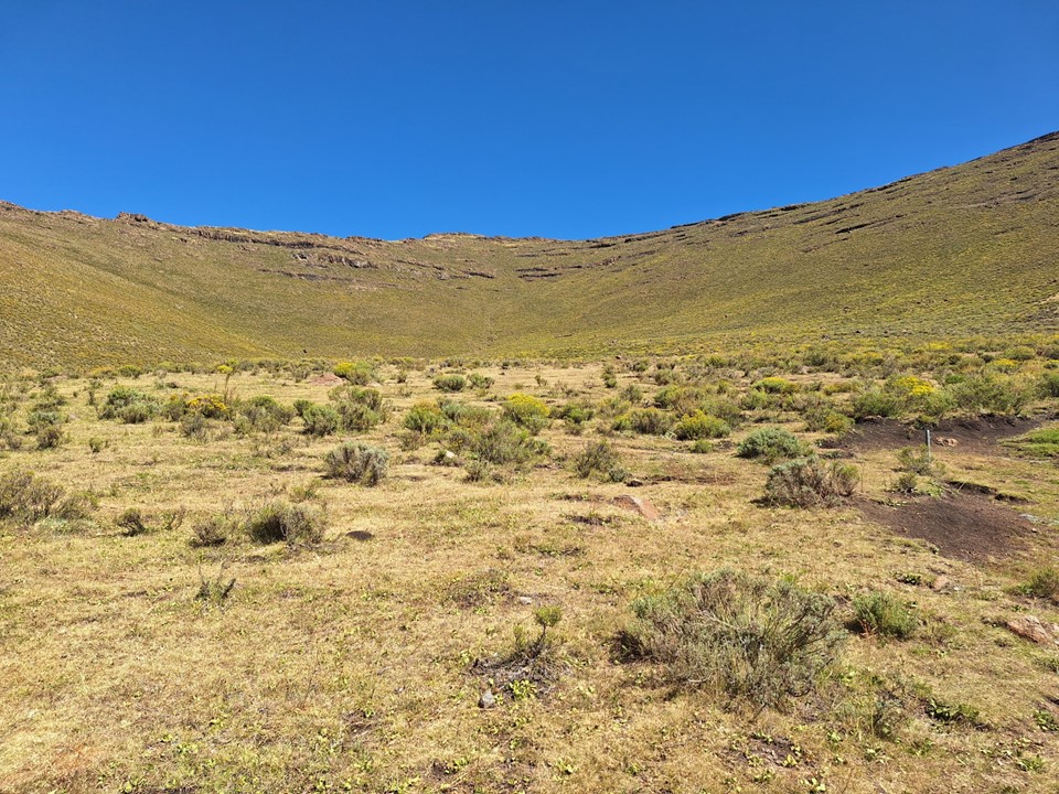
Eventually my GPS track told me to leave the trail and start heading up the ridge. I had never seen a picture of the peak, and had no clue what it would look like, so just had to trust my GPS. This is largely why I don’t want to shift to a lower cut-off for peaks in Lesotho – a lot of peak chasing is getting to very remote regions and then completing a trivial hike to reach an arbitrary summit. If Thaba-Phafane West had not been the only peak above 3300m with 7% prominence relative to height that I hadn’t previously done, I would not have even considered it as a target – and I most certainly wouldn’t recommend it to most people.
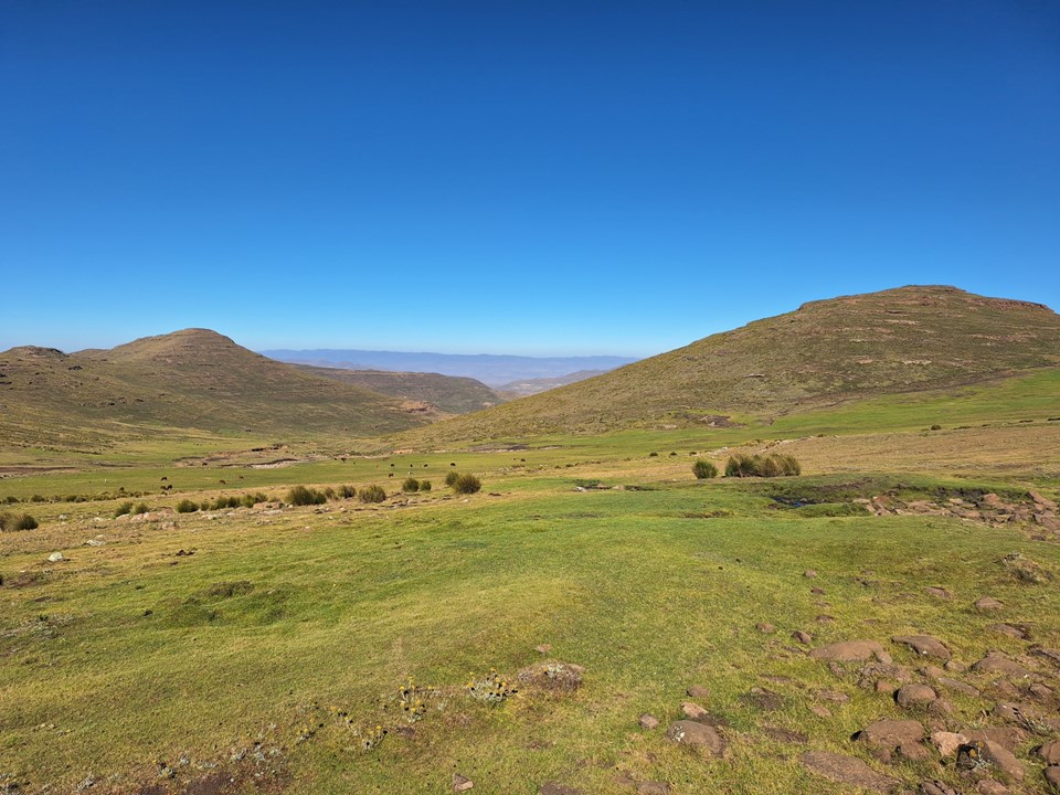
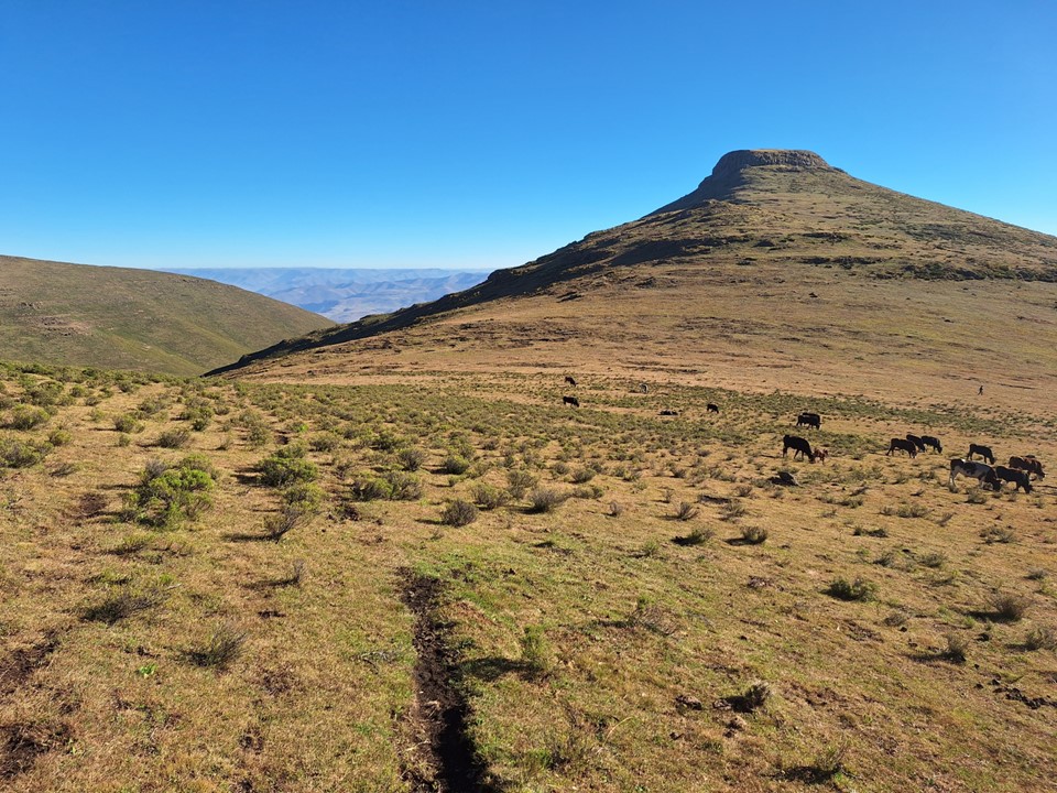
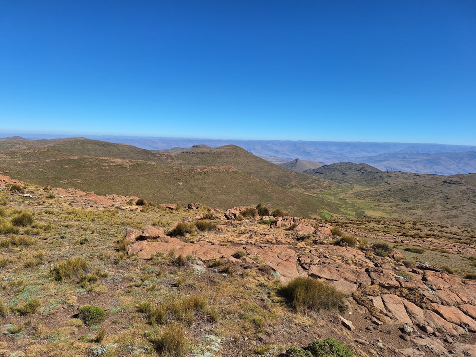
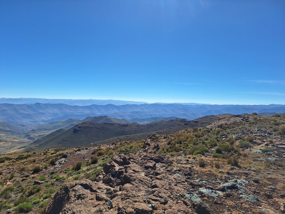
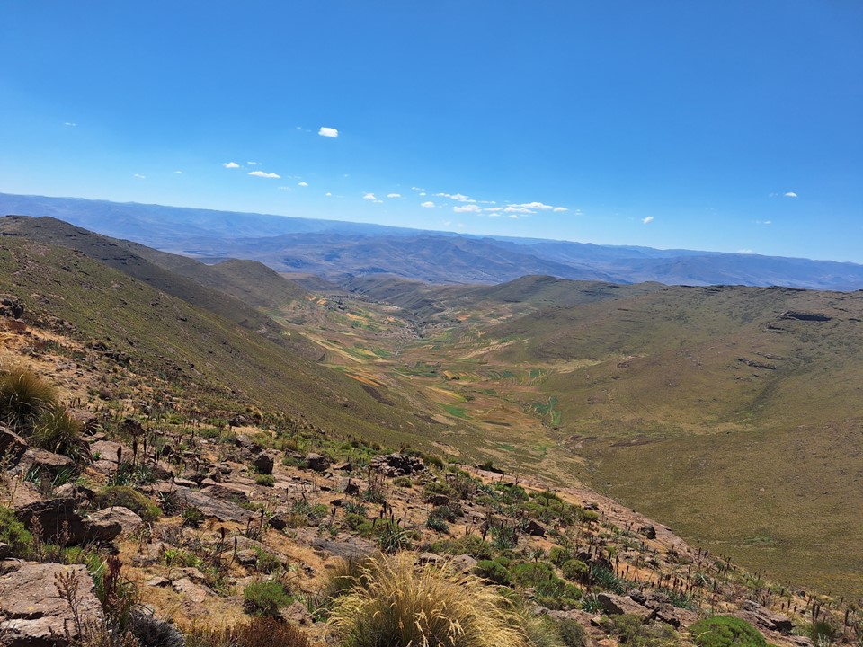
Eventually the slope relented, and I could see the top. There was no cairn on top – it is easily the least interesting summit on the list That being said – on this beautiful clear morning I could see Mponjwane, Giants Castle and Tsepeng, which makes it by far the most expansive summit view I’ve seen in the Drakensberg.
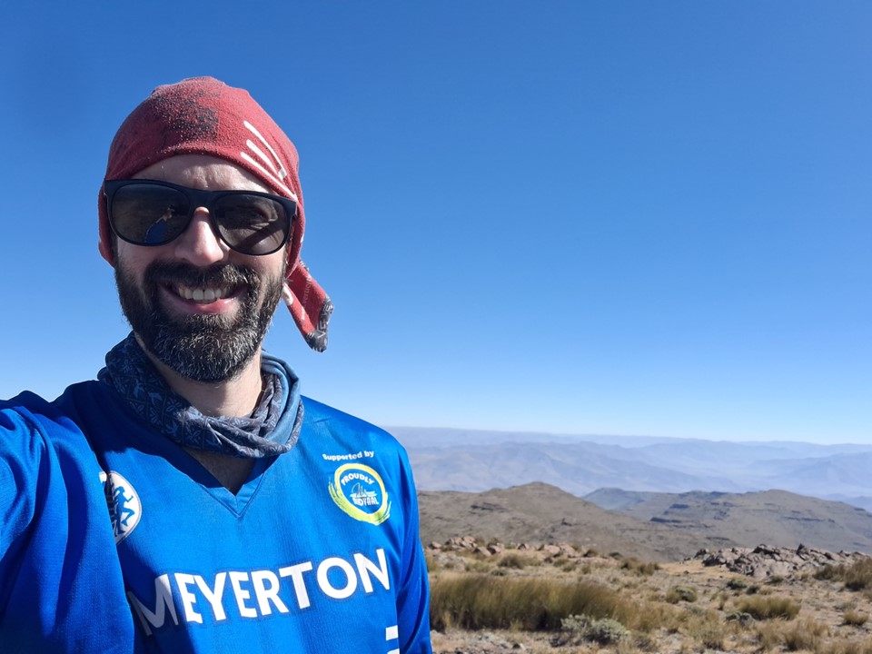
I got my summit shot, and then found a comfortable rock out of the wind, and listened to some Spanish lessons on my phone. We had agreed that if Andrew wasn’t there by midday, I would head back down and we’d meet back at St James Lodge – but it was only 9am, so it would be a long wait. Then again, I’d take waiting at a spot like this over most other spots.

As midday was drawing near, I decided to build a summit cairn. Being a statistically relevant summit, I thought it was worth marking it in this way. It had obviously been summitted before, someone had tried to dig something out right by the summit at some point, and I’m sure countless shepherds had been up over the years – but no one had built anything on the top.
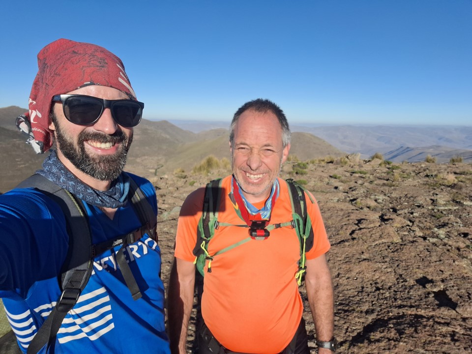
At midday I began to scan the mountains for an orange shirt, but couldn’t see one. I waited a few more minutes, but then decided to set off. After walking a short distance off the summit, I looked back, and in the saddle below the summit I could now see said orange shirt. I looped around and we met up just below the top.
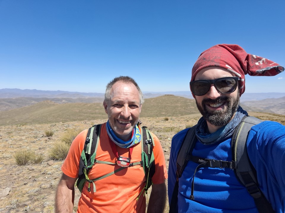
With this summit, Andrew had now also completed my list of 3300+m peaks. His personal list includes a number of other peaks, as he uses a much lower cut-off than I do – so he isn’t done just yet.

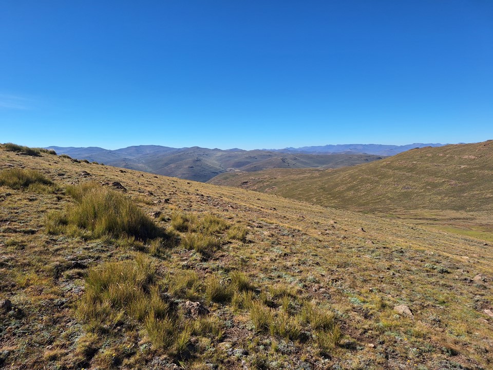
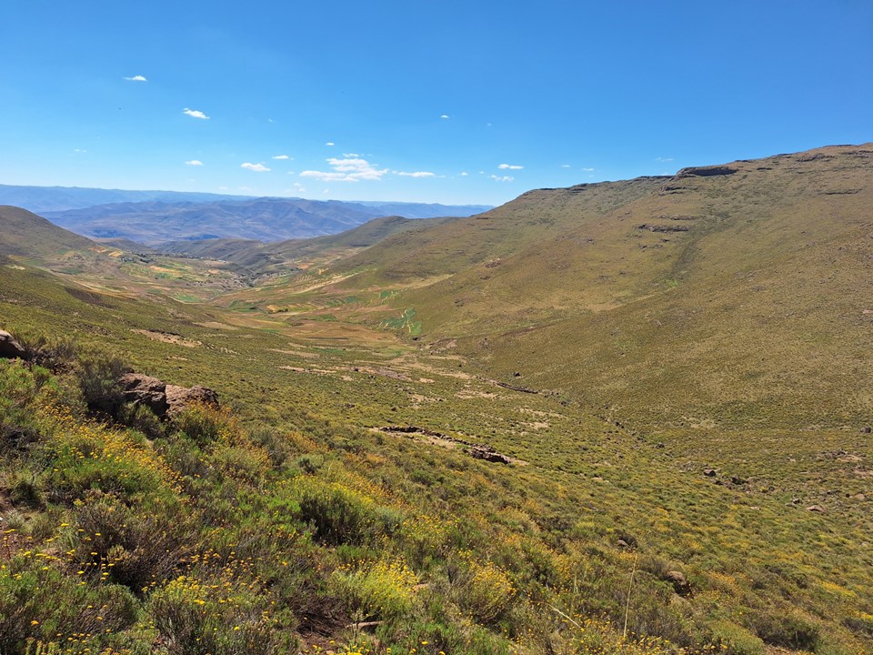
While I had been waiting, I had planned a route back down. We followed the ridge below the summit, crossing over into a valley above a small town. This was what I deemed to be the most efficient way of getting back down – assuming we won’t get a lift on the road.
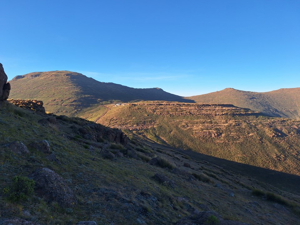
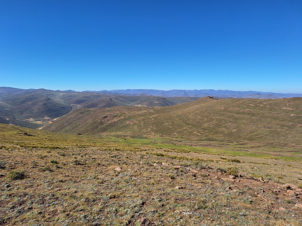
Thaba-Phafane West is the summit in the middle of the photo above – which gives some context on how arbitrary this summit looks.
We soon hit the side valley I had planned to descend into. There was a short steep downhill, but nothing too serious.
From there, we managed to find a trail that lead into the town and then back to the road. The people in the area were excited to have visitors – I don’t think many hikers come through there.
From there we started walking on the road, but soon managed to get a lift in a truck back down to St James Lodge.
Overall not the most challenging day in the mountains, but time in the mountains is always time well spent – and with that, one of my last bits of unfinished business in the region was done.
