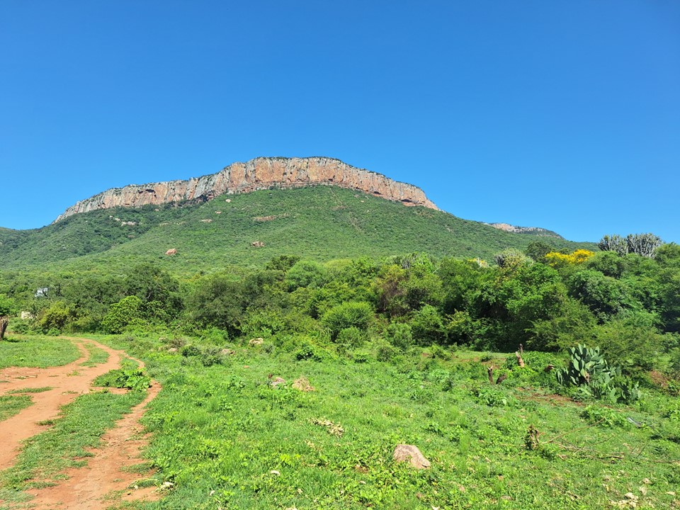
Ga-Monnaasenamoriri, also known as Blouberg, is a 2051m peak with 1014m topographic prominence in Limpopo. It is best known for its multi-pitch climbing routes, but has been on my radar for a number of years due to it being one of the 24 mountains in South Africa with at least 1000m topographic prominence.
I had heard the ascent was fairly complex, and combined with the long drive to reach it, I put this one off for a number of years. But in January 2024, Andrew asked me if I’d like to join for an ascent, and naturally I couldn’t refuse.
The “Intrepid” Chris Sommer was on holiday in SA at the time, and the plan was for Andrew and Chris to attempt a route on the main face while I hiked to the summit. We drove to Isaac’s Kraal on the Friday, and set out for the cave we would use as a basecamp.
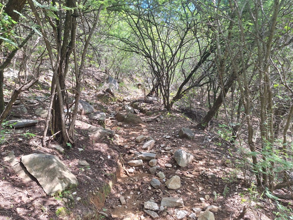
We occasionally lost the trail, but the hike up was generally not too difficult. The heat and humidity didn’t help, though! This was my first hike since my return from Nepal, and I had been very sick – with recovery proving slower than anticipated. This was never going to be a difficult hike, though, so it was a great way to return to the mountains.


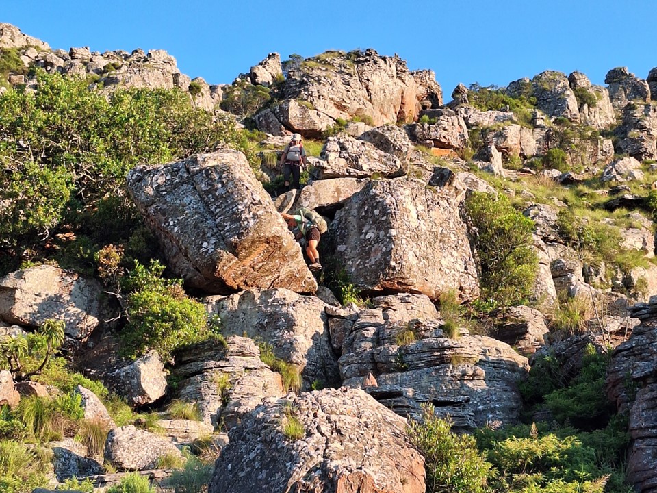
There are some scrambles on the way to the cave, nothing too difficult, but I was happy to not have a super heavy pack with climbing gear!
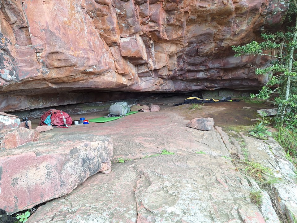
The cave is near water, is well sheltered and has a great view – I was happy to be back in the mountains!
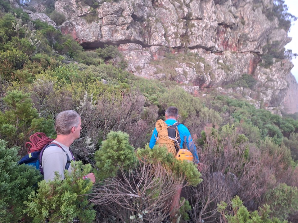
The plan for Saturday was simple – we would leave the cave before sunrise and hike together to the spot where I follow the ridge to the top and the others drop down to the main face. Nobody enjoys an early start when their alarm clock goes off, but mountain sunrises never get old!


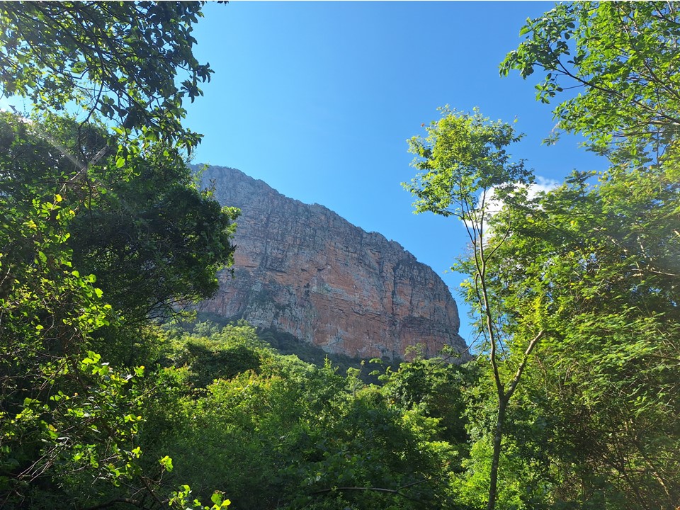
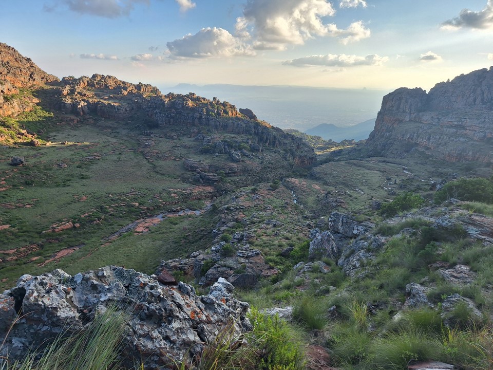
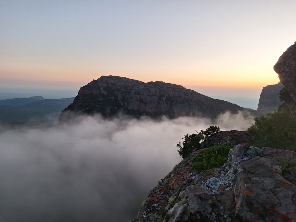
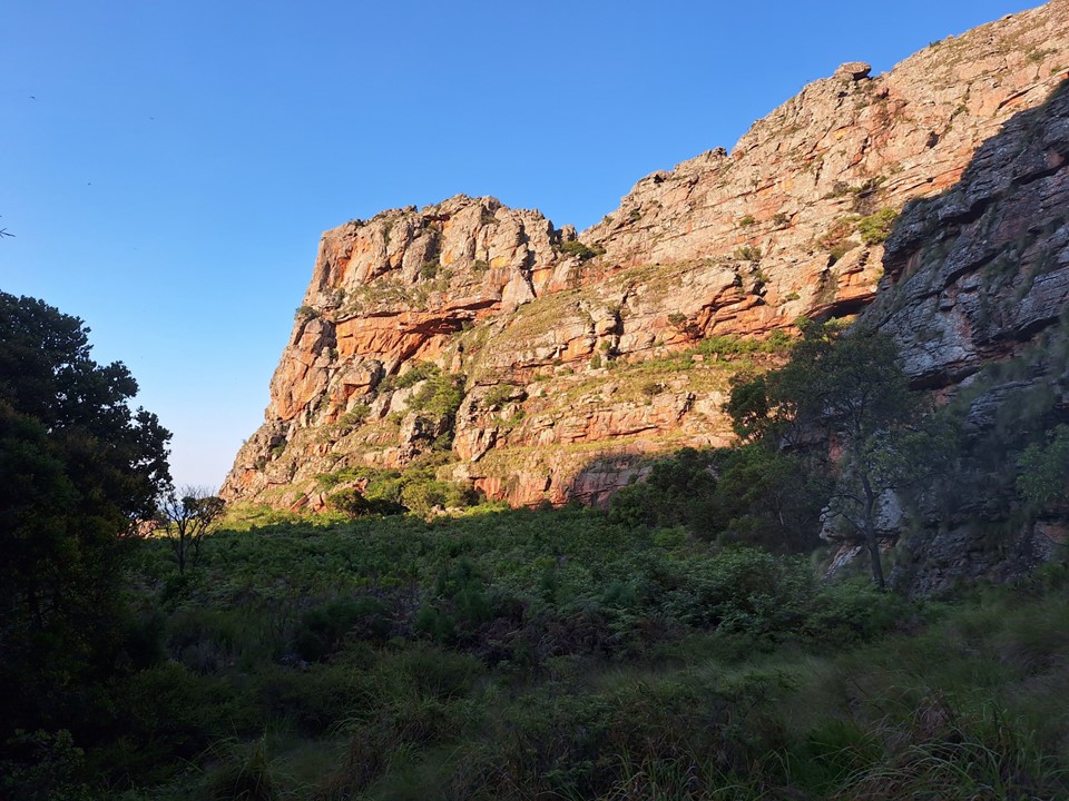
I sat and enjoyed sunrise over the main face while the others set off. I wasn’t in a rush, I had all day and knew it wouldn’t take long to get to the top from here. I also knew the summit required a bit of technical climbing – but from what had been described, this didn’t look nearly as tricky as I expected. The summit is massive, and I knew I’d find a spot where I could get through without too much difficulty.

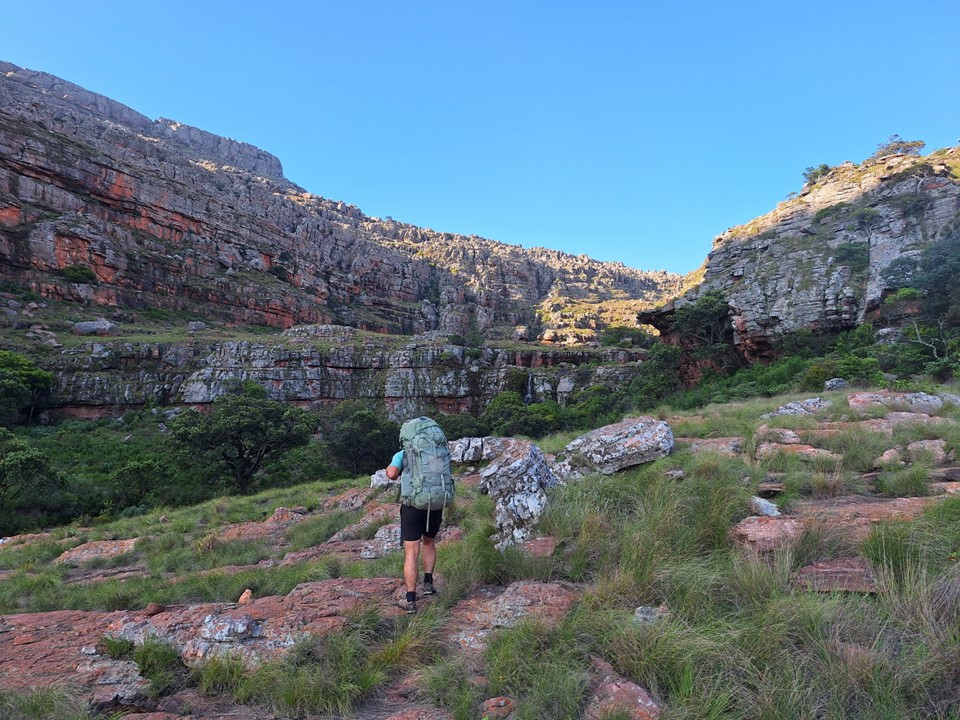
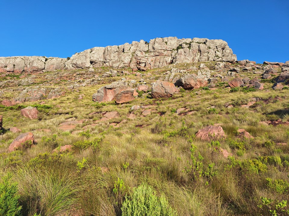
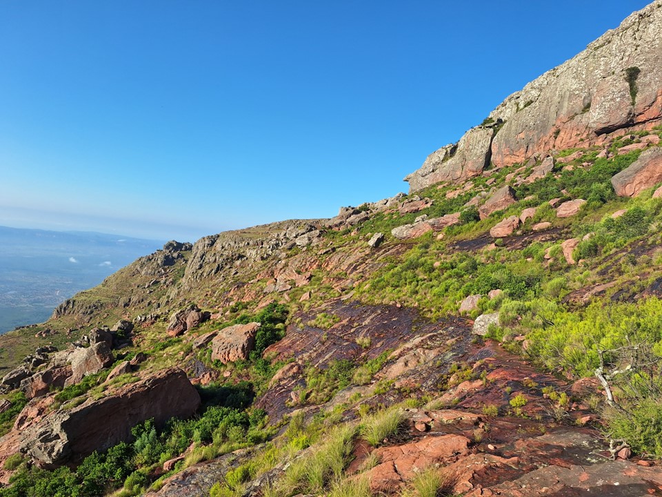
There were cairns and I had a GPS track to get through the lower boulder field – but it wasn’t anything of concern. I stuck to the rockier ground to avoid overgrowth – scrambles were easy on solid rock.
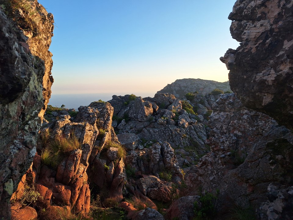
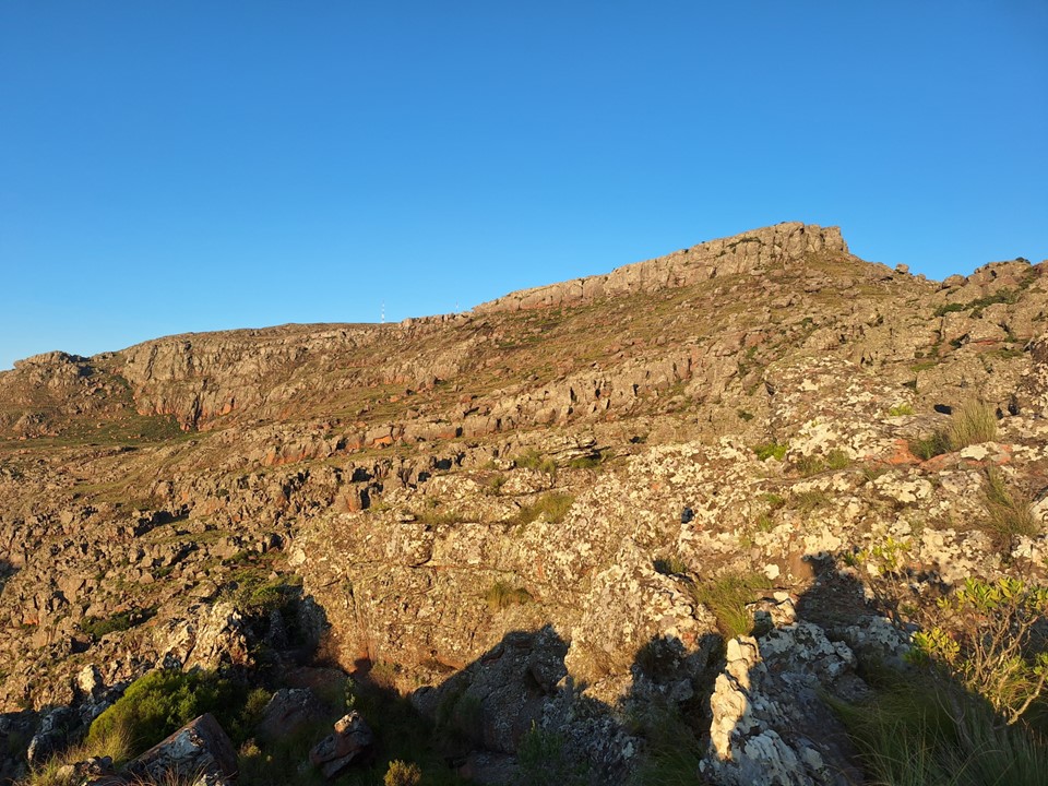
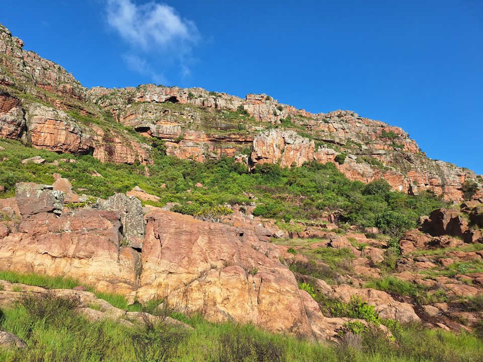
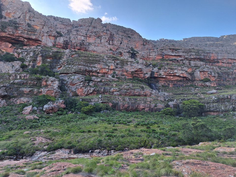
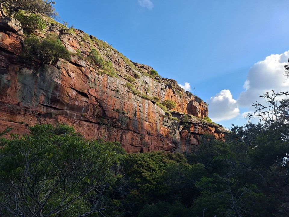
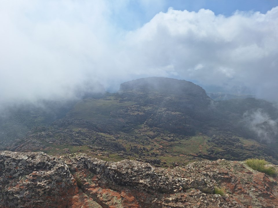
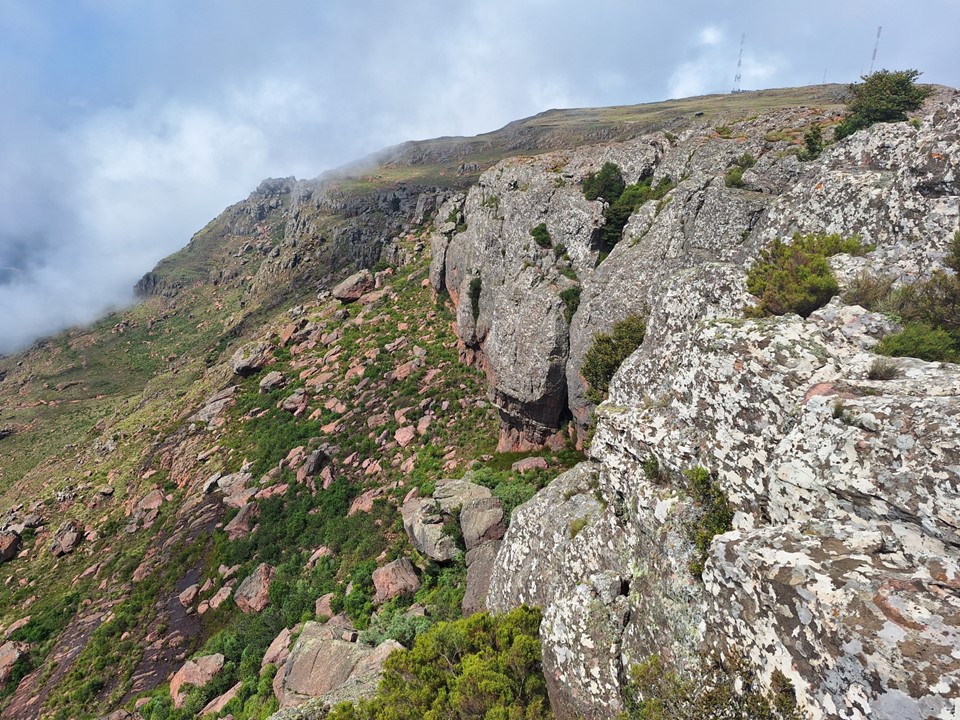
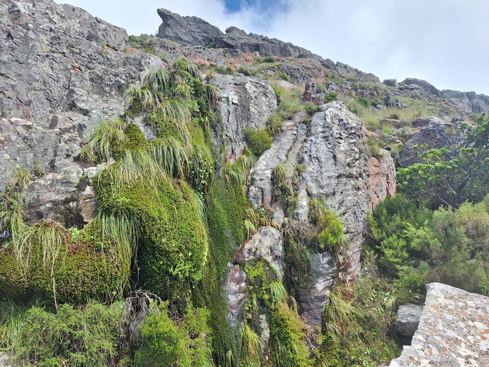
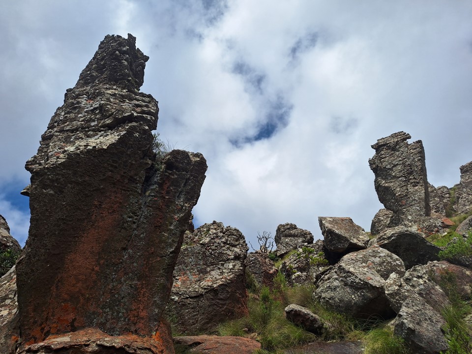
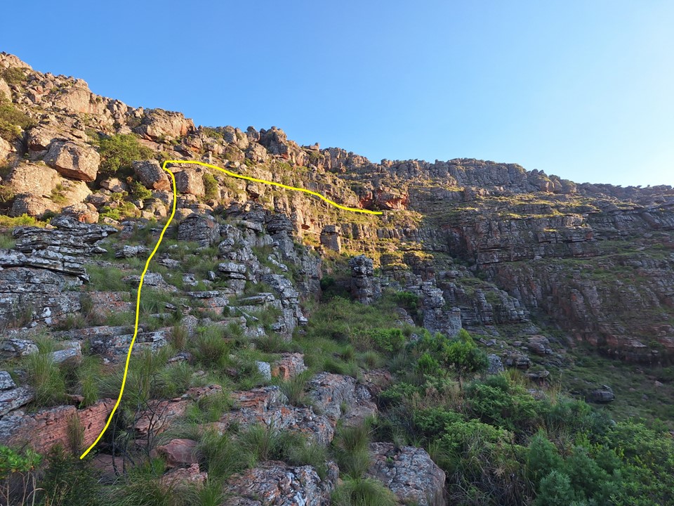
As I got through the lower field, I could see the top cliff line – the one with the technical scramble. I noticed it thinned out towards the left, and there seemed to be a large grassy bypass on the far left. I had all day, now to ensure I get the summit!
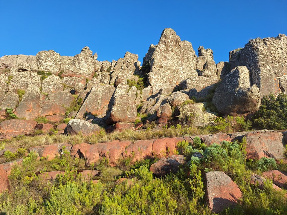
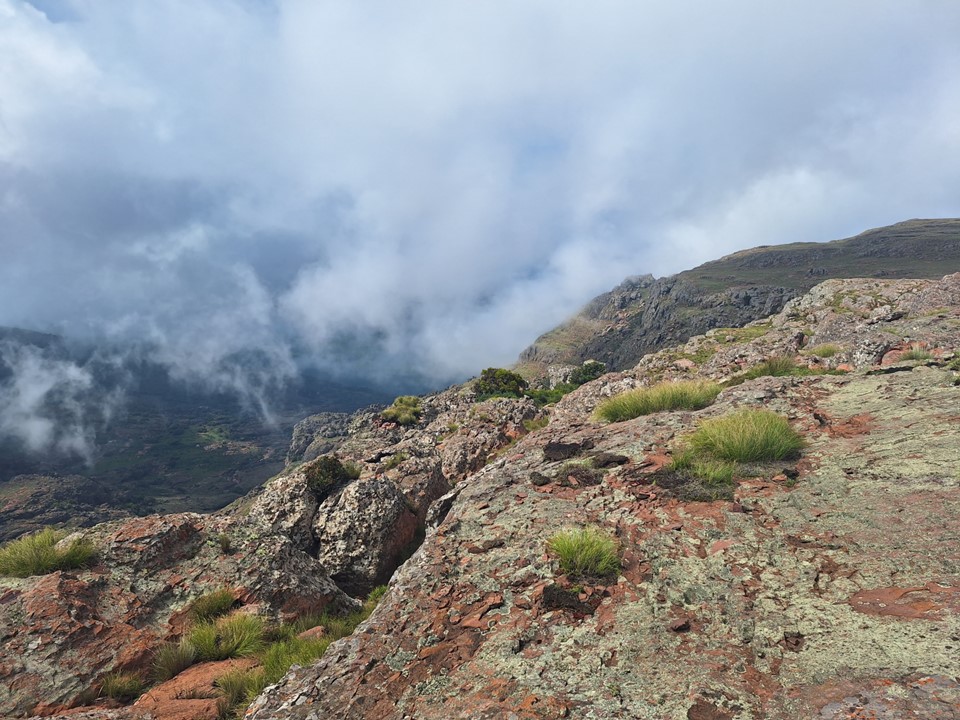
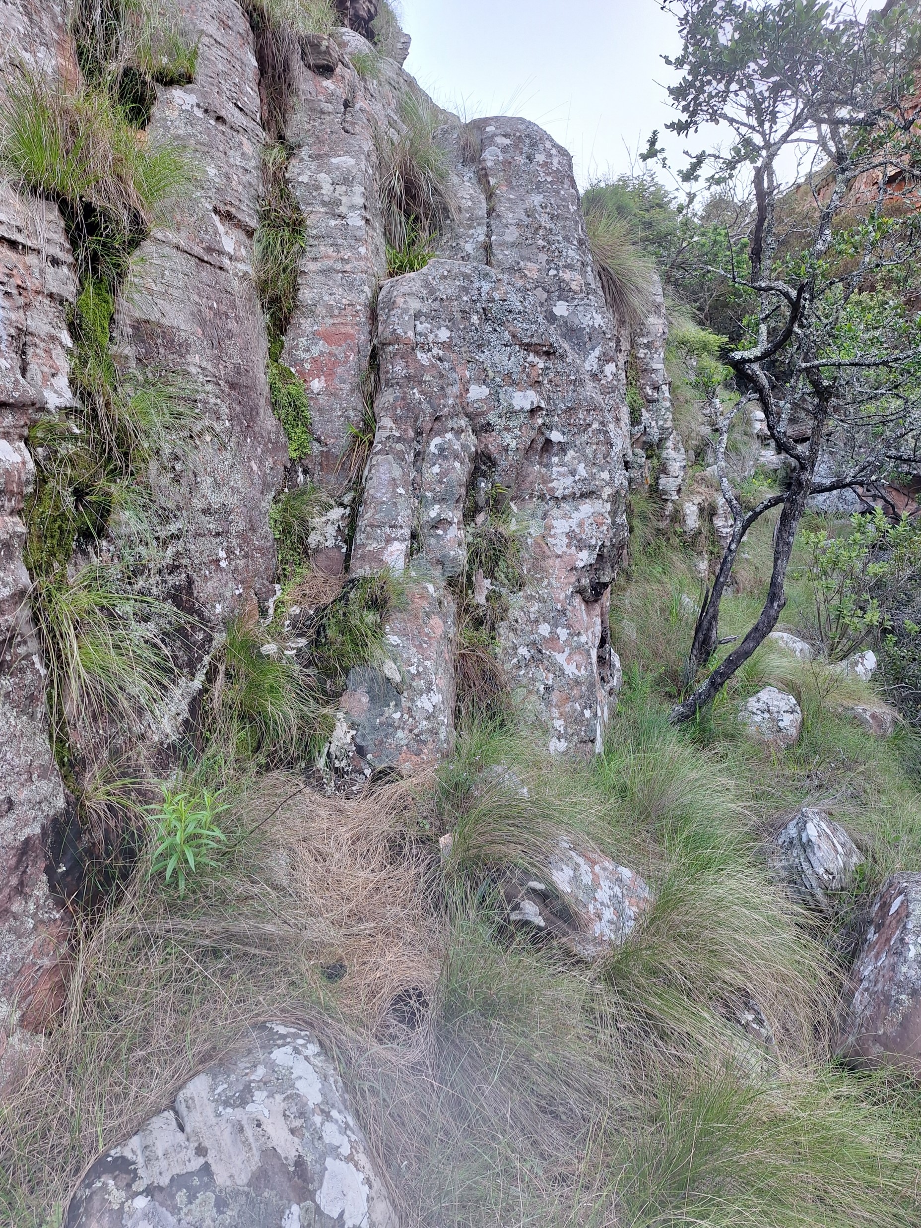
The top cliff had a number of lines of weakness, but nothing I was overly comfortable scrambling on my own without a rope. So I kept moving left to try and find an easier line. There were a few gullies, but all looked technical.
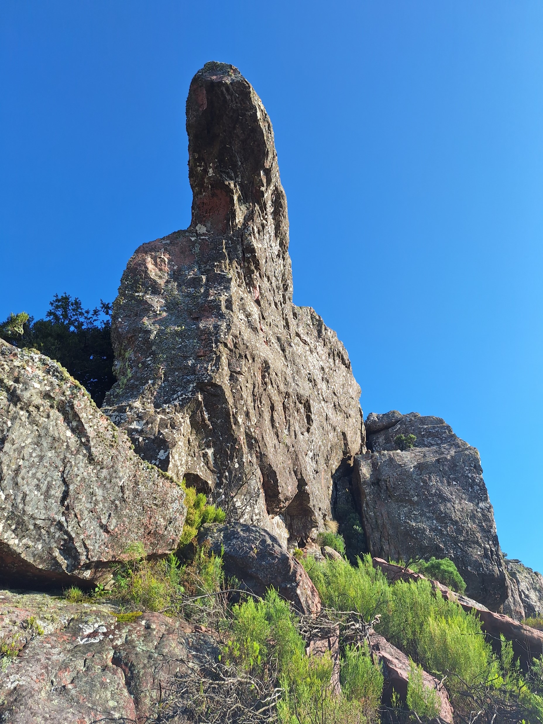
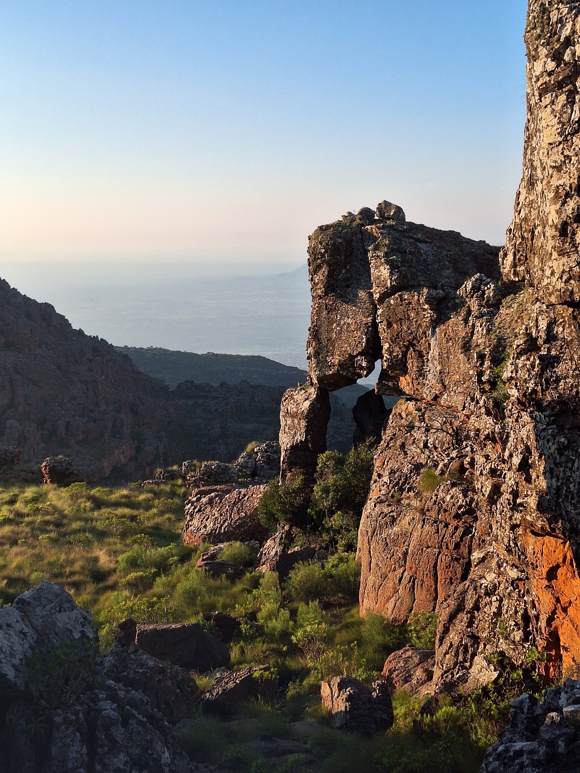
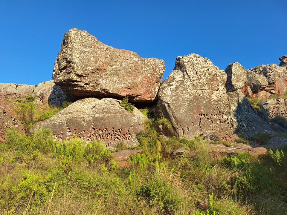
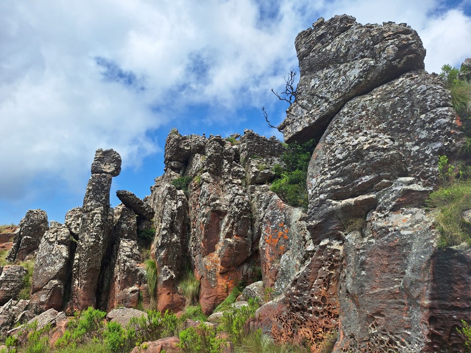
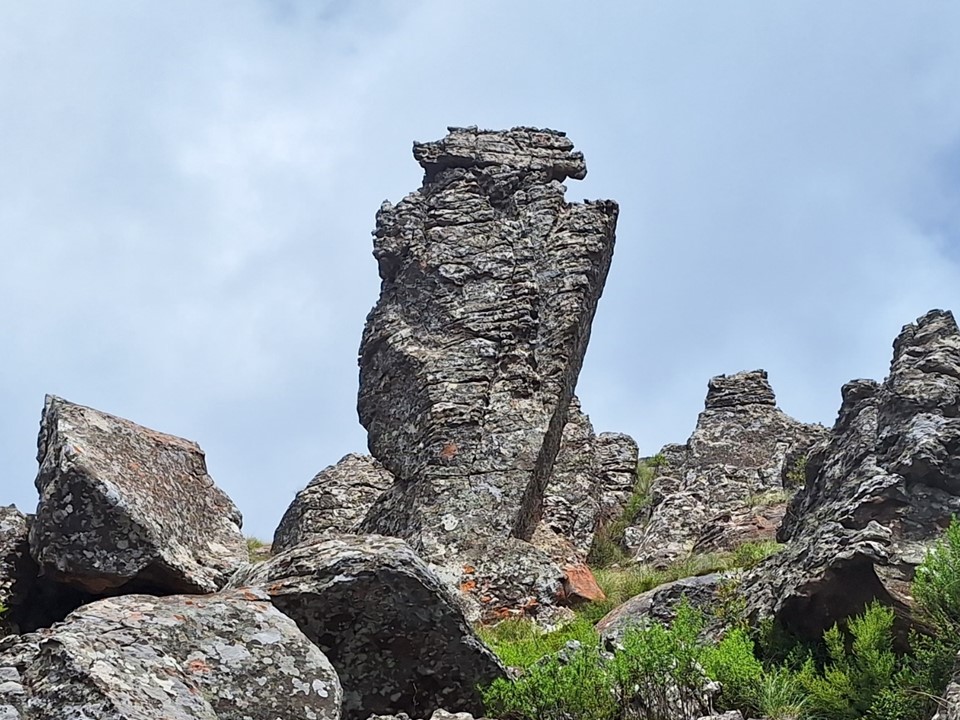
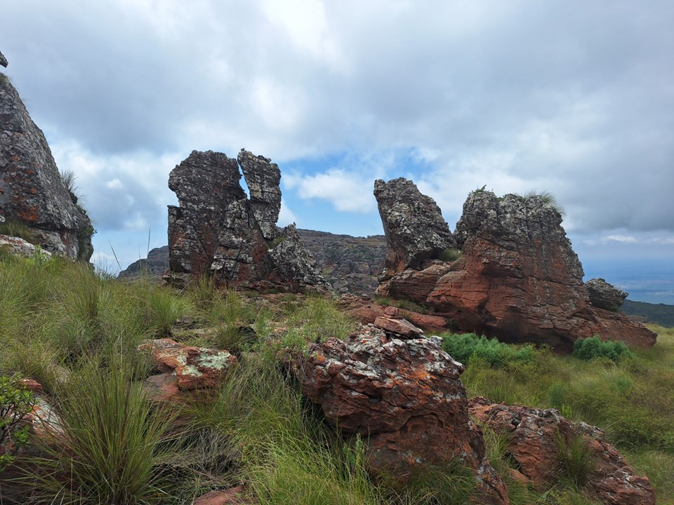
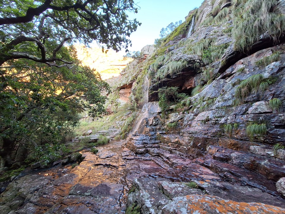
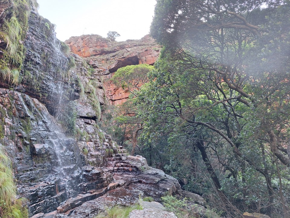
Below a really cool rock feature I found a small rock pool. The day was already very hot, so I stopped for a quick dip.
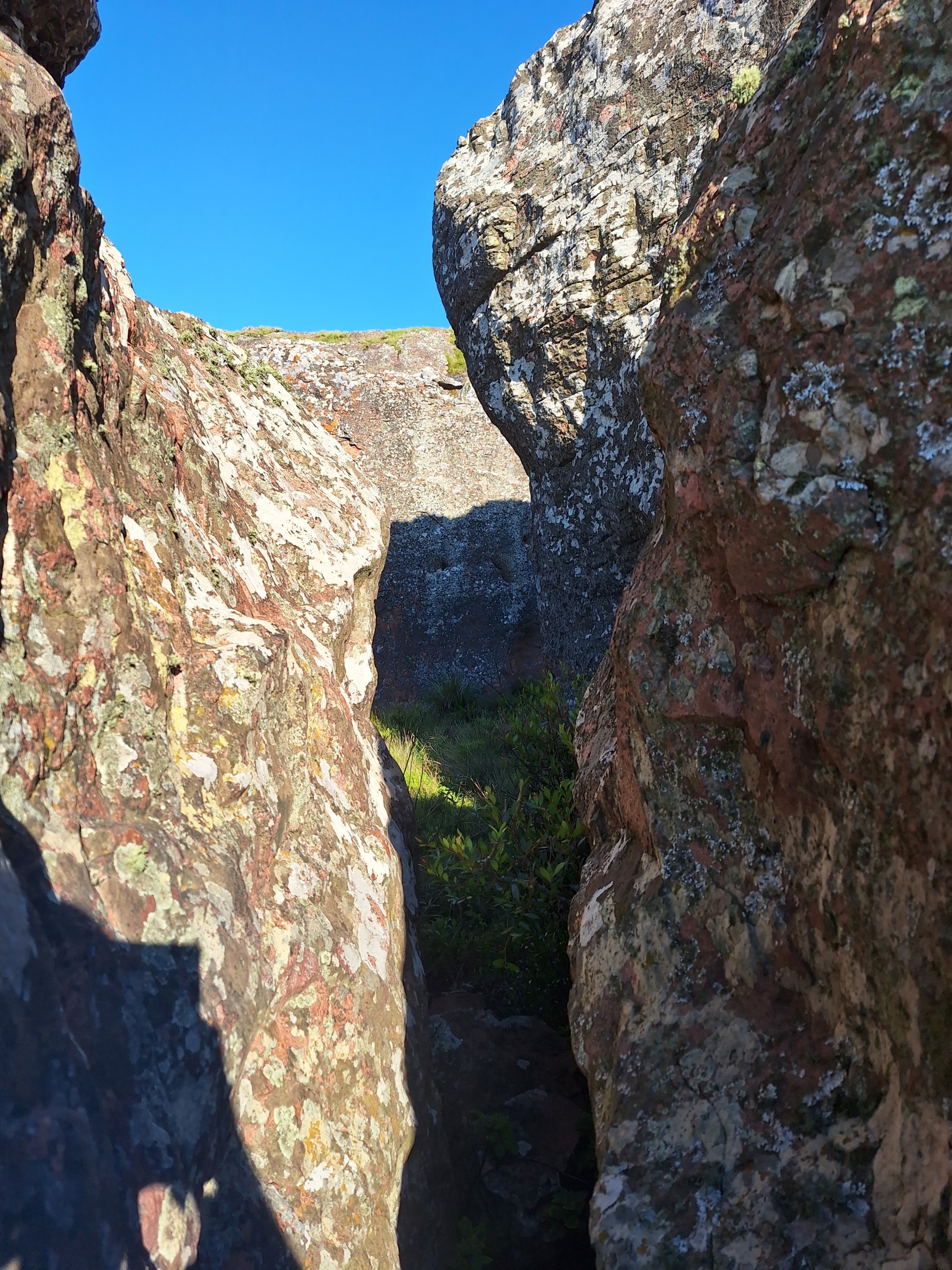
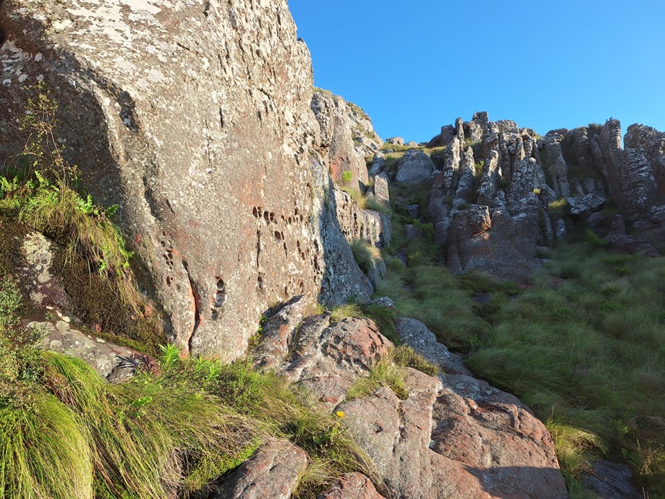
Just past this, I found a spot where one could actually squeeze through a narrow gap in the rocks and then simply walk to the summit plateau.
As it turns out, nothing particularly difficult about this peak after all.
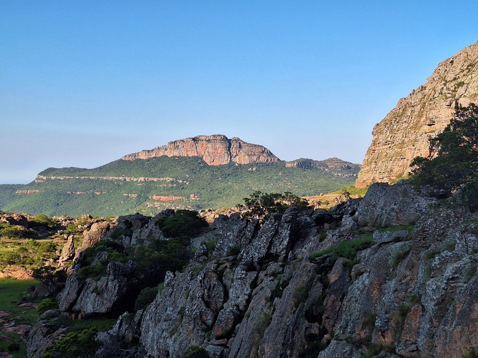
I knew the peak had three distinct summits. While all sources agreed on which was the highest, I knew I had all day and would be back at the cave well before the others, so it made sense to tag all three.

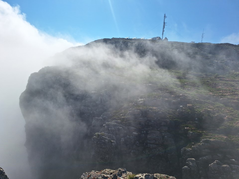
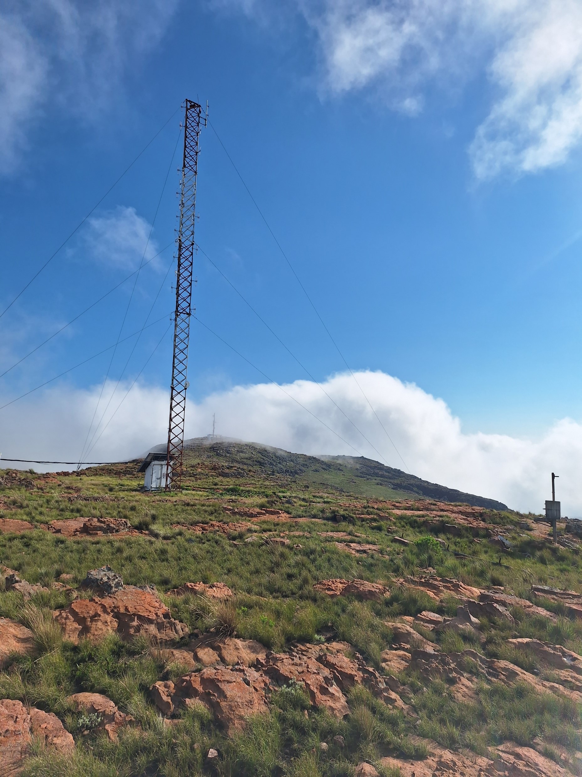
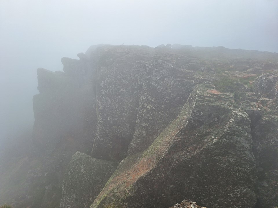
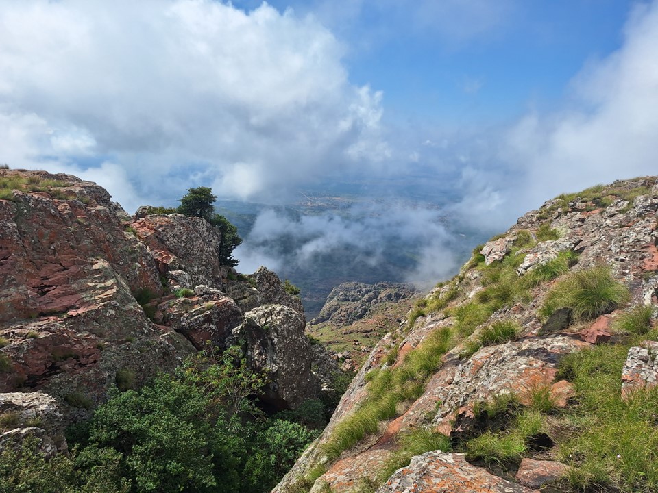
The lowest of the three summits was probably the most interesting. Without mist, I’m sure the view would have been great. Or perhaps the mystery of the world below was more interesting than the concealed reality – as is often the case.
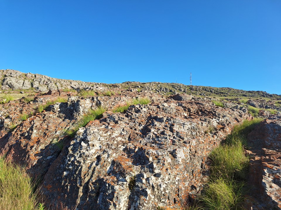
My GPS concurred with maps, satellite data and the location of the trig beacon, unsurprisingly. With this summit, I have completed every 1000+m prominence mountain in South Africa outside of the Western Cape, and am 75% of the way to completing the entire list. The final six are fairly spread out and will likely take some time to complete. But I am in no rush, I’ll get there eventually. After all – I have only been targeting these peaks for just over three years and have made good progress so far.
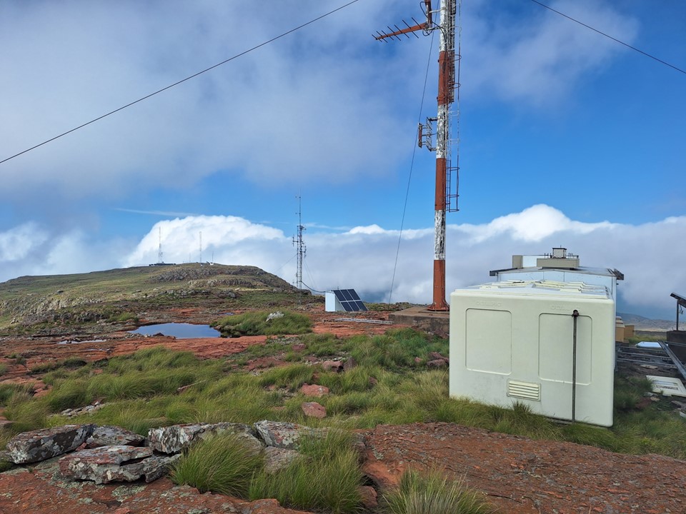
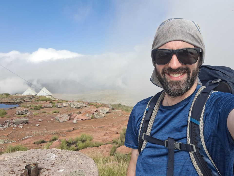
I spent some time exploring the top – I didn’t want to race back down to the cave and sit around all afternoon. While it most certainly isn’t a top ten peak for me in terms of how worthwhile it is, it was definitely worth the effort. The 1000+ prominence peaks have generally all been great.
I walked past the standard gully used to access the summit and decided it was too technical to be worth using. I did have some rope and a harness, but will usually opt for a safer descent if one is available – after all, most injuries happen on the way down.

I used the same gap to get down that I had used to get up. I decided to mix things up and follow the river from the gap to the cave – I had all day, if this option ended at a cliff, I could just go back up and try the other route.
I soon found myself at the water spot near the cave. I filled up my bottles and then traversed back to the cave.
It was still fairly early in the day, and the others were only expected to return after dark. I put on some Spanish lessons on my phone and learned about the word “haber”.
Meanwhile Andrew and Chris’ day didn’t go according to plan, and around 2pm they arrived back at the cave.
We left the cave early the following morning, hoping to get back to the car before the day got too hot.
Aside from a 5cm thorn that got caught in my shoe, but fortunately didn’t put a hole in my foot, the hike down was uneventful.

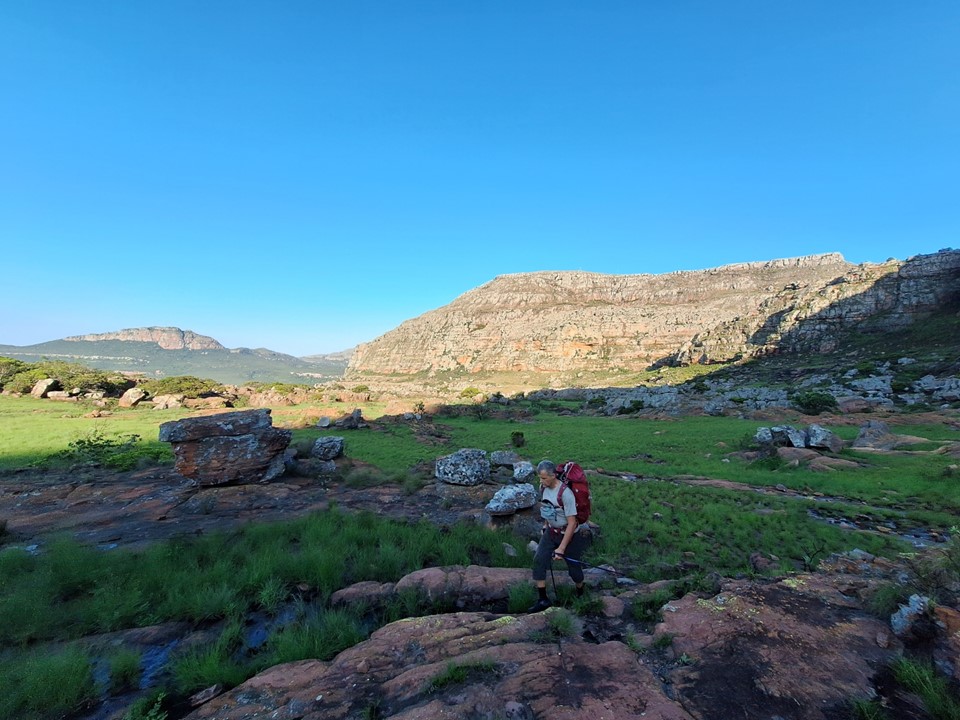
It may not have been the most difficult hike I’ve done in recent times, but it was great to be back in the mountains after being very sick through December and early January. With 18 peaks done on the list of 24, the end of the list is in sight! Admittedly a scary concept – because I’m not sure what my next SA mountain targets will be.
