In 2022, after completing the Three Passes Circuit in the Everest Region, I went to the Annapurna Region to complete the Annapurna Sanctuary hike. About 8 weeks later, the exact aircraft I had flown in crashed just short of Pokhara Airport in the worst Nepali aviation disaster in over 30 years. Coming into land at the new airport, which opened on 1 January 2023, so after my trek but before the crash, I could clearly see the location of the crash. There is something unnerving about seeing a location that I saw in so many news articles, and knowing that a few slightly different variables could have resulted in a very different outcome for me. Then again – the same is true about a truck on the highway that crushes a passing car. A lot of life boils down to luck.

Landing at the new Pokhara International Airport was an interesting experience. This airport has been very controversial as its capacity dramatically exceeds demand. Also, notably, one can only fly between Kathmandu and Pokhara – rendering its status as an international airport a bit pointless! The old airport was very crowded, the new airport is excessively large. Either way, I was happy to be back in Pokhara.
I got a taxi, as always making sure to ask the price before getting in, which is crucial when traveling – and asked to be taken to a place near the lake. He took me to a hotel that was a bit further out than what I had in mind, but it was good enough, so I got a room, dropped my bags and then asked to be taken to the Ministry of Tourism to get my ACAP permit (Annapurna Conservation Area Project). I proceeded to walk back, seeing as the taxi ride wasn’t even 2km. Shortly after leaving the offices, I realised I had dropped the hotel card out of my pocket and couldn’t remember the name. After looking at Google Maps for a bit, I remembered it was called The North Face Inn. I made my way back, buying some food from street vendors on the way.
I had supper at the restaurant over the road, which made a decent butter chicken, albeit not the best one I’ve had.
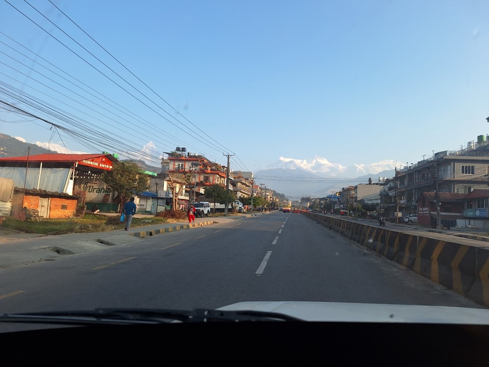
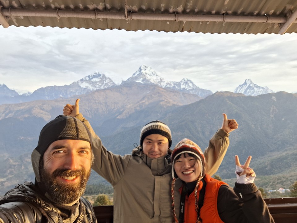
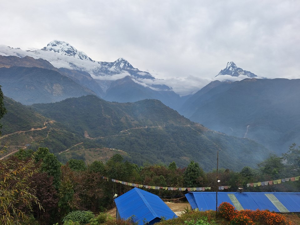
A Chinese couple also staying at the hotel was planning to do Poon Hill. My plan had been to do Mardi Himal Basecamp and then Poon Hill, but seeing as there was already a jeep leaving for the start of the Poon Hill Trek, I decided to reverse the plan. The views from Pokhara are insane – with Machhapuchhare, as well as Annapurna II and IV visible in the distance. A bit crazy to be in a major city and be able to see the 16th highest mountain on earth, despite being below 1000m in elevation!
We had asked for a jeep to Ulleri, but when we got there, we realised the road went on well past there. For an extra NR1500 (NR500 each) he took us the extra section to Banthanti, where the trail leaves the road. We stopped for tea and some food, and after talking a bit agreed to team up for the day.
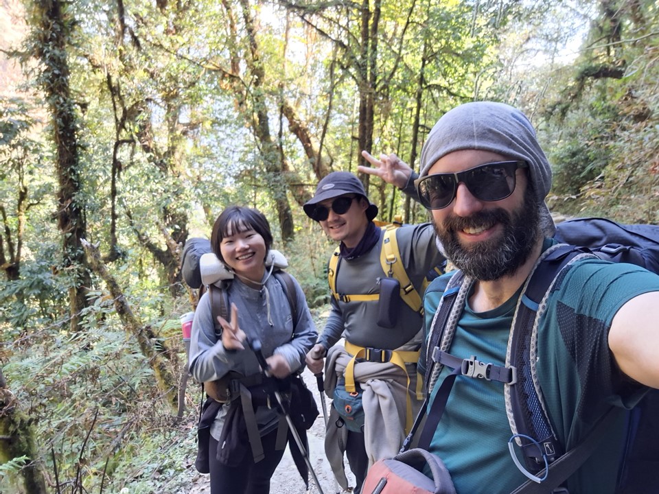
Shoo and Sami were on their first international trip. She paints for a living and he used to run a coffee shop, but unfortunately had to close it a few months ago. They spoke a fair amount of English, enough for us to have a fair amount of conversation. They weren’t very experienced hikers, so they were happy to have me along.
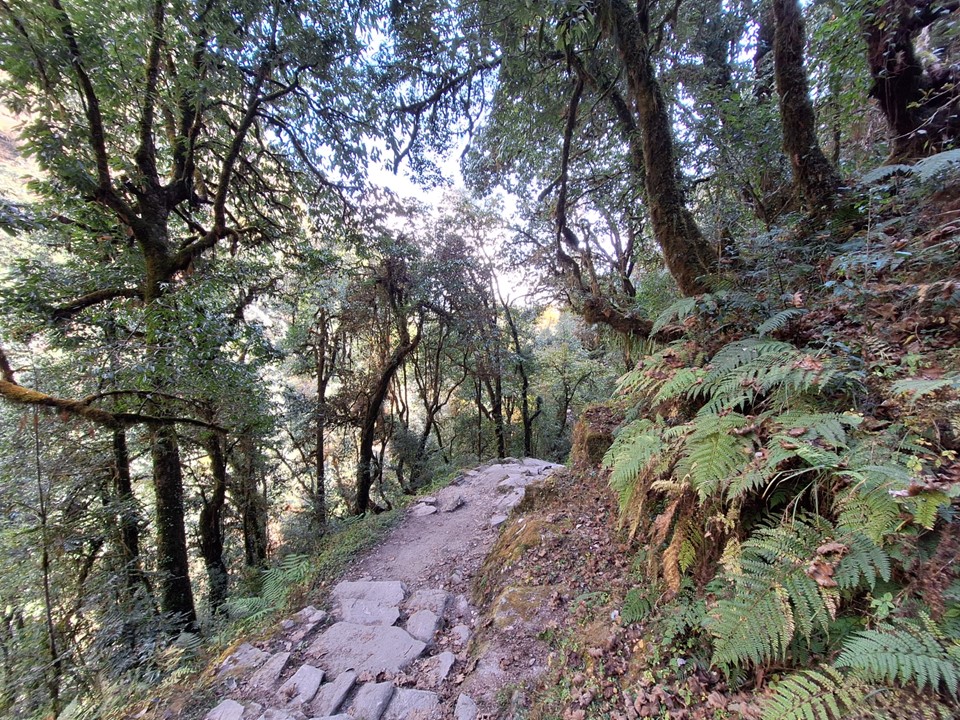

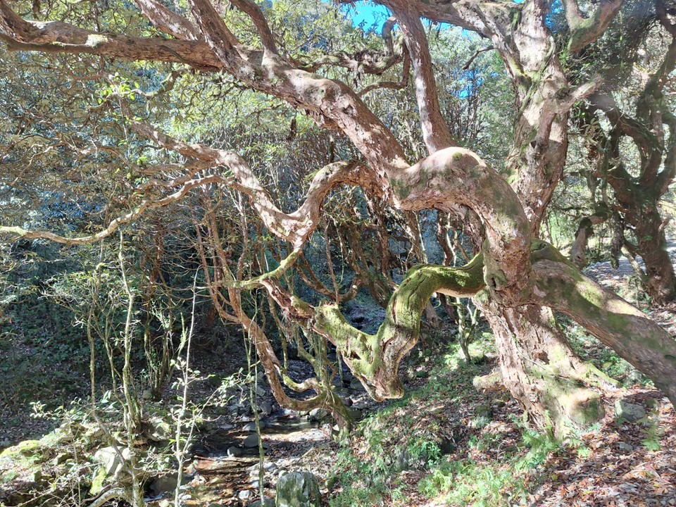
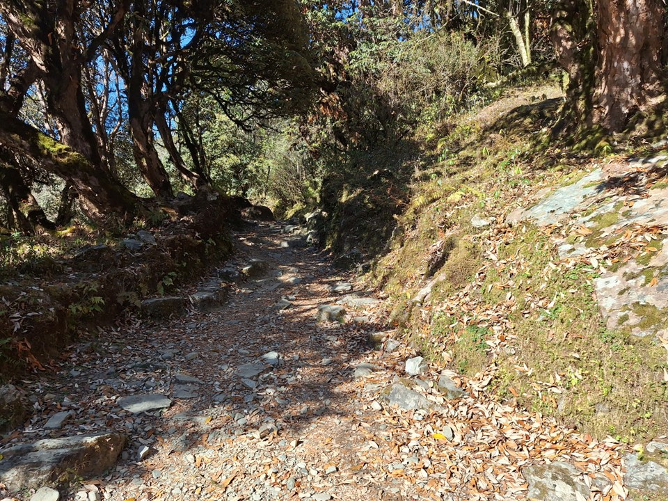
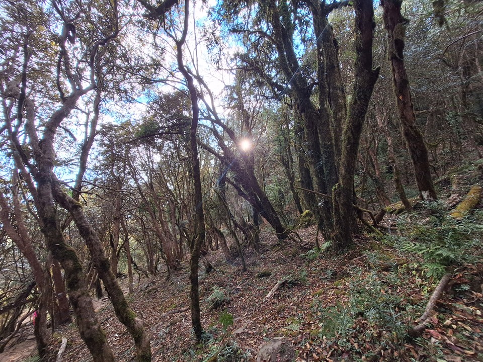
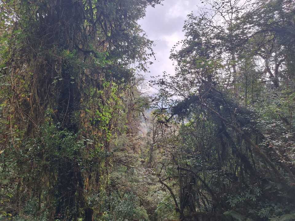
The initial stages of the hike were in a forest. At low altitudes it is generally hot during the day, so the shade was welcome. I don’t know why, but the lower parts of the Annapurna Region tend to feel a lot like the KZN Midlands to me.
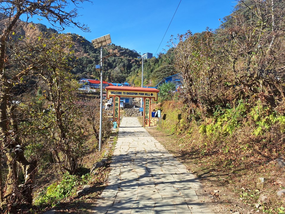
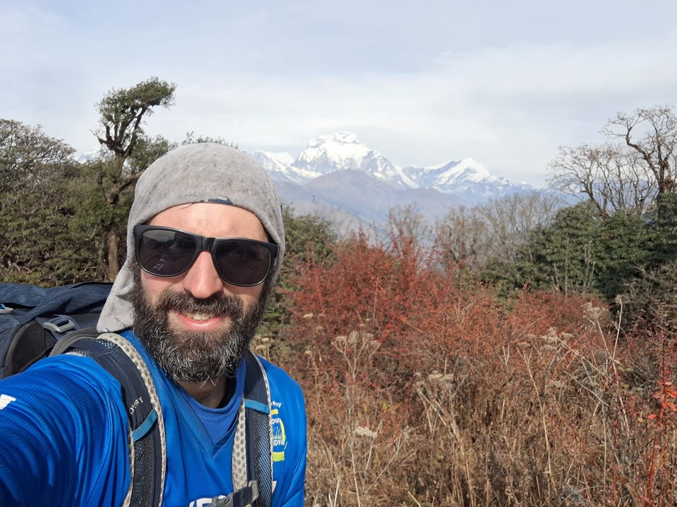
We stopped for lunch at a tea house on the way up, and made it to Ghodephani in pretty good time. Being late in the season, the tea houses lower down in the town were closed. I went with a tea house at the saddle overlooking Dhaulagiri – I still find it crazy that you can stay in a tea house with a view of both the 7th and 10th highest mountains and it only costs NR500 (about R70 or US$4).


After dropping our bags off, we took a short walk up the ridge towards Poon Hill. I knew we would be doing this in the dark the following morning, so I wanted to make sure I knew where the trail went.
With Dhaulagiri, I have now seen 7 of the 10 highest mountains on earth, and Kangchenjunga is the only Nepali 8000er I am yet to see. The other 8000ers I haven’t seen being the five in Pakistan and Shishapangma.

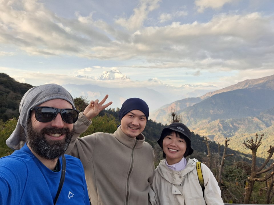
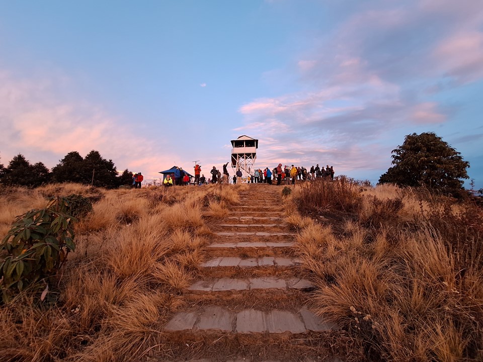
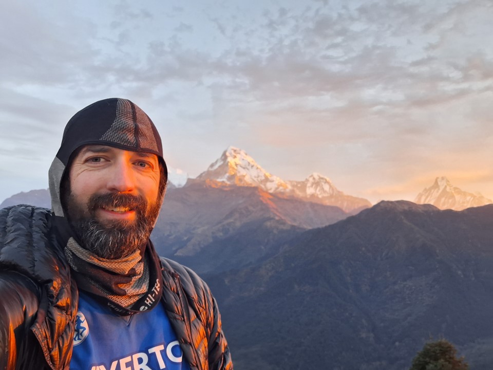
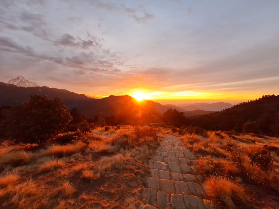
We got an early start the next morning. In hindsight I should have started a bit earlier – I was fine to get to the top by sunrise, but my friends weren’t. When they stopped for a break, they agreed that I should run ahead. I got to the top just in time for an amazing sunrise.
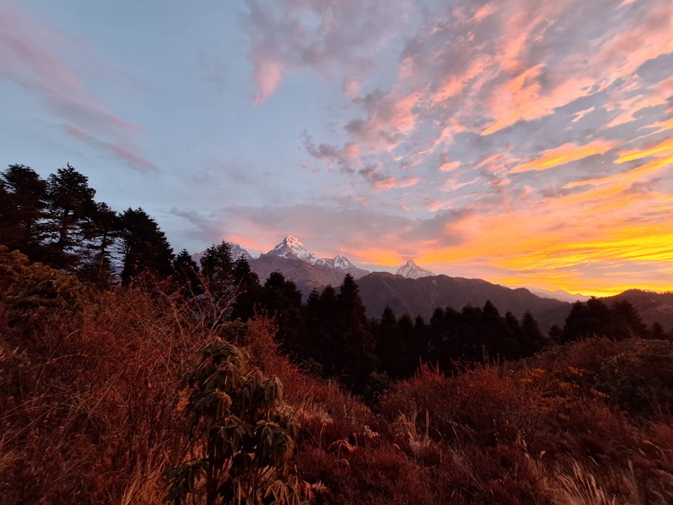
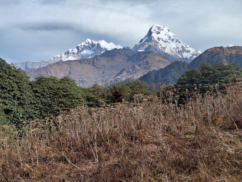
The view from Poon Hill includes Dhualagiri (7th highest mountain), Annapurna I (10th highest mountain), Machhapuchhare, Annapurna South (101st highest mountain) and Dhaulagiri II (30th highest mountain) is just visible behind Dhaulagiri.
Sami and Shoo made it to the top just after sunrise, and we had some tea before heading back down. In typical Nepal style, the tea at the top was the same price as everywhere else in the region.

We said farewell back in Ghodephani. While our hike was the same for a while still, my planned lunch spot was their planned overnight spot, so I needed to move a fair amount faster than them.
The hill as one leaves Ghodephani is more sustained than I had expected, which slowed progress significantly. But with views like the ones in the region, one doesn’t complain at being forced to sit down and take a break fairly often!

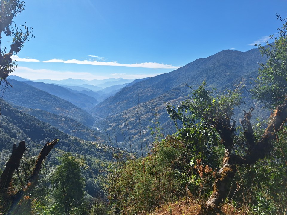
The hike to Ghandruk was mostly in a narrow valley next to a river. Pretty, but not in the same league as most hikes I’ve done in Nepal. I saw about 100 other hikers, but was usually able to pass their groups fairly quickly as the trail is wide.


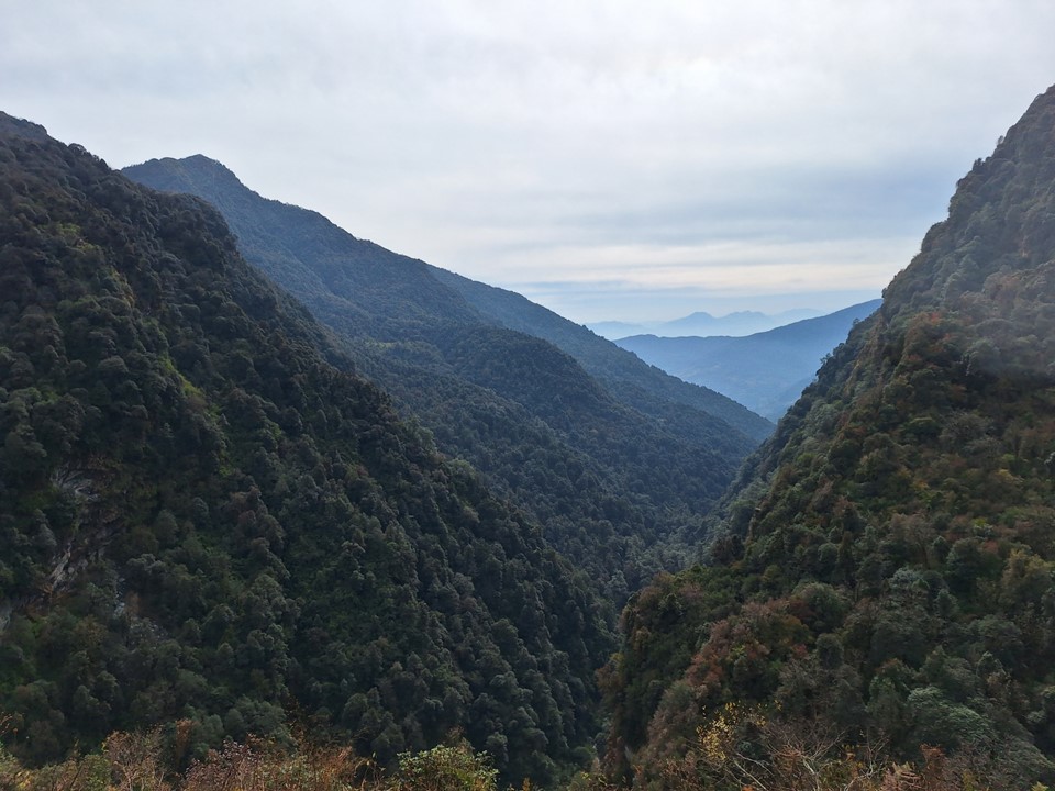

As you near Ghandruk, you go down into a deep valley and then climb steeply on the other side. Once you’ve crossed this ridge, the main mountains come into sight again.

I stopped at the first tea house on the outskirts of Ghandruk. If I had know that Ghandruk was a major town, I would have gone on a bit further, I probably could have found a nicer tea house – but I had work related issues to sort out and decided it was better to call it a day here.
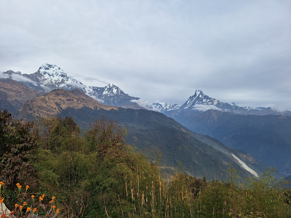
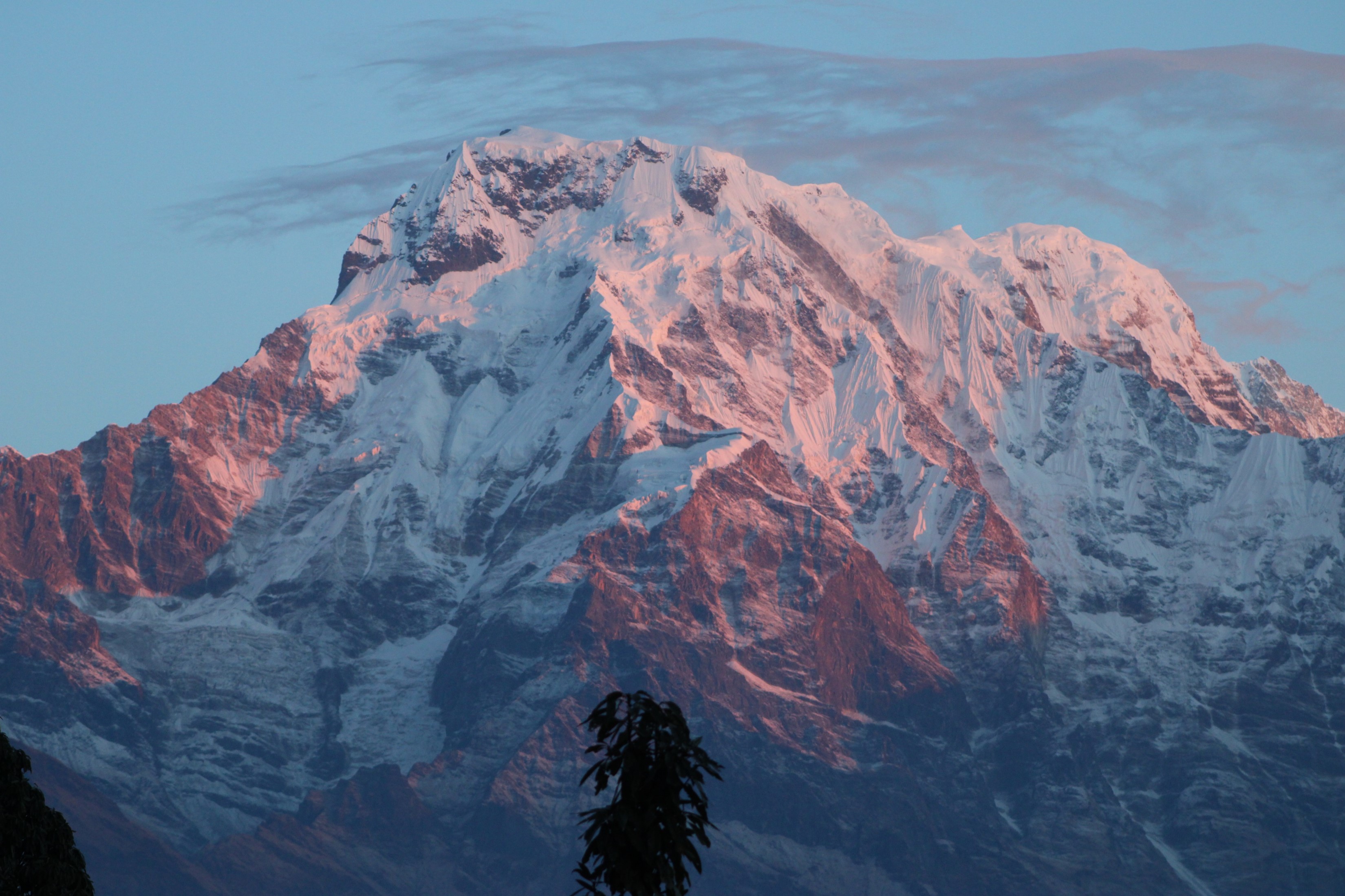
The tea house was small and I was the only person there – which had the upside of it being very quiet. Probably also better to support the tea house who had no customers than go to one with plenty of other people. The views from the window were great – and gradually getting closer to Machhapuchhare is always awesome. While part of my purpose in returning to the Annapurna Region was to finally see Dhaulagiri , I also wanted to get a better view of Machhapuchhare and hopefully get a photo worthy of an A0 canvas print for my office!
Aside from hitting my head on a wooden beam at the entrance to the bathroom a few times, it was an uneventful evening.

The following morning I walked into Gundruk and quickly realised how large the town is. I found the jeeps at the end of the road and considered taking a jeep to Lundruk, but none of them were heading that way. In hindsight it was probably a good thing I didn’t – while the hike between Gundruk and Landruk wasn’t that interesting, I would have got to the end of the day earlier and missed one of the highlights of the trip.
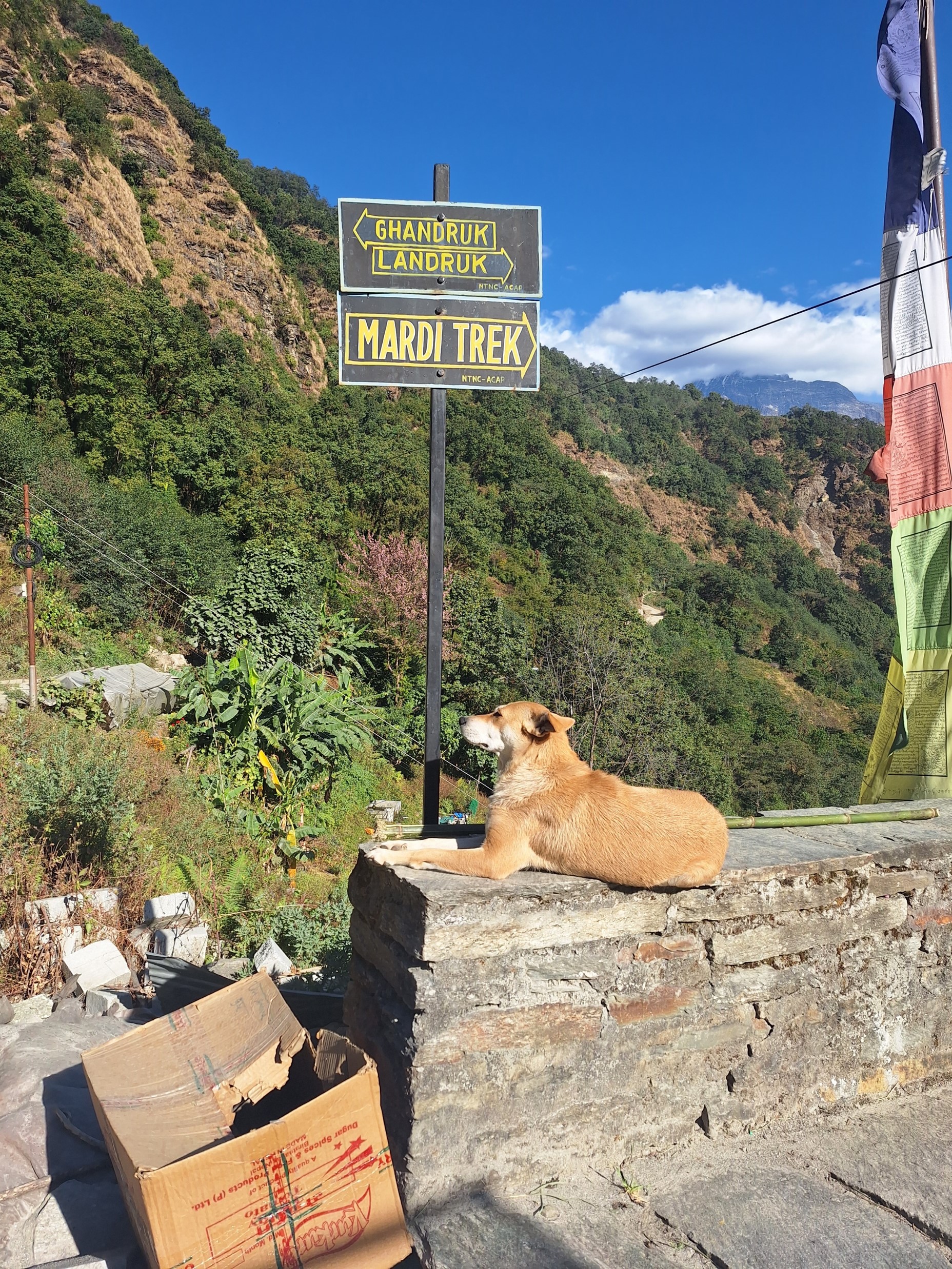
I struggled to find the way through the town, and most people I asked proved unhelpful. I eventually realised I was heading north and actually wanted to go south, and backtracked till I saw a sign putting me on the right route.
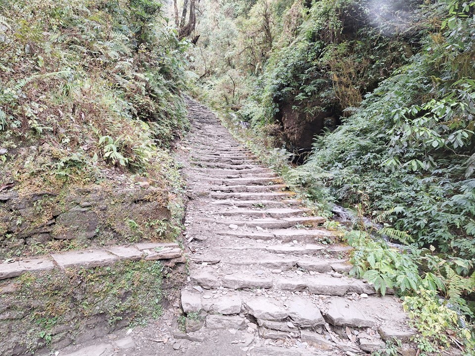
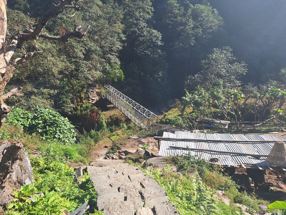
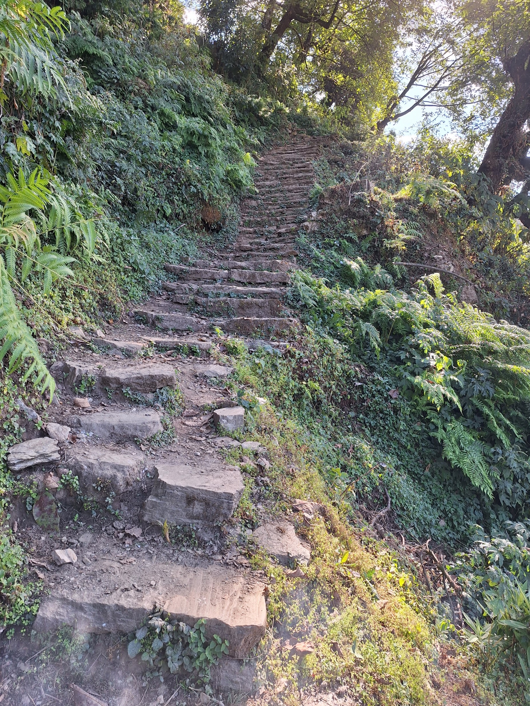
What followed was a long steep downhill to the river. Some children who live on the slopes were making their way up the hill to the school in Gundruk – while it wasn’t uphill both ways, they can most certainly tell their future hypothetical children about the difficult hill they had to climb each day to go to school.
I eventually reached the tea houses by the river crossing, which was around 1400m in elevation, I had dropped around 700m in altitude by this point. I stopped for some masala tea – it was the only masala tea I’ve ever had with chili in it, which was interesting.
The slog up the hill was going to be a big one. I hadn’t planned to do Mardi Himal going into this trip and thus hadn’t planned anything. I had also accidentally left my GPS in my bag in Kathmandu. I didn’t really have a plan, so I opened All Trails on my phone, found a track for Mardi Himal and had that open for reference. The trail is generally marked with a colour scheme that matches the colour scheme on the map – blue and white in this instance – so navigation isn’t difficult.

Because I hadn’t planned to do this route and thus hadn’t researched it properly, I didn’t really know much about what was above me. I optimistically wanted to push for High Camp so I could head to Basecamp for sunrise the next morning, but I knew that High Camp was at 3550m and the river crossing was at 1400m – so this would require a significant effort. For the first time since I started feeling sick, I was actually feeling strong again, so the plan was to play it by ear.

I didn’t stop in Landruk, but continued up the hill till I reached a tea house on the side of the mountain. I had some tea here before continuing up.
Progress was relatively slow, but I still had two full days before I needed to be back in Pokhara, so I knew I was in no rush. Realistically I wouldn’t get anywhere near High Camp, but thought it best to just keep going and see how I do.

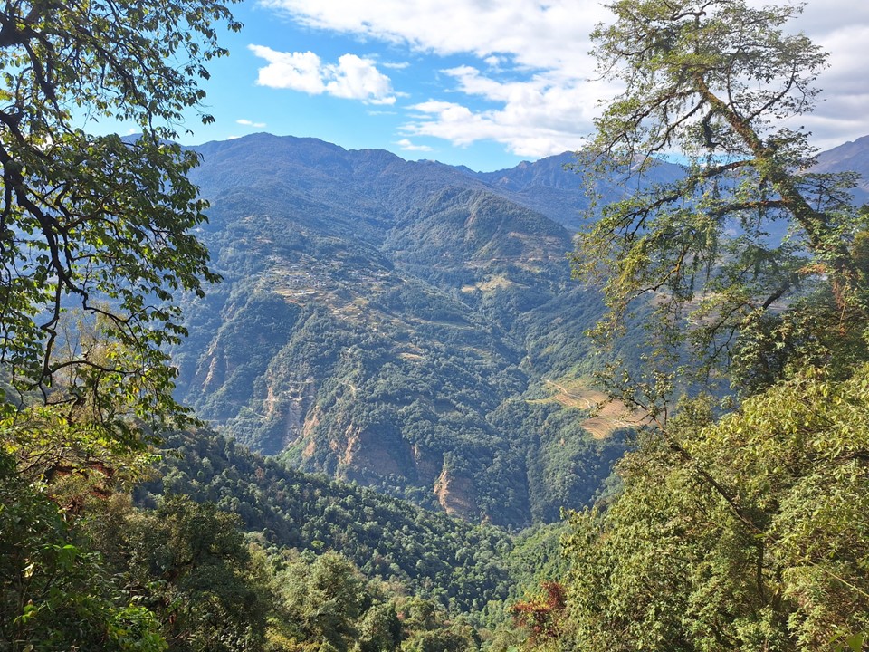
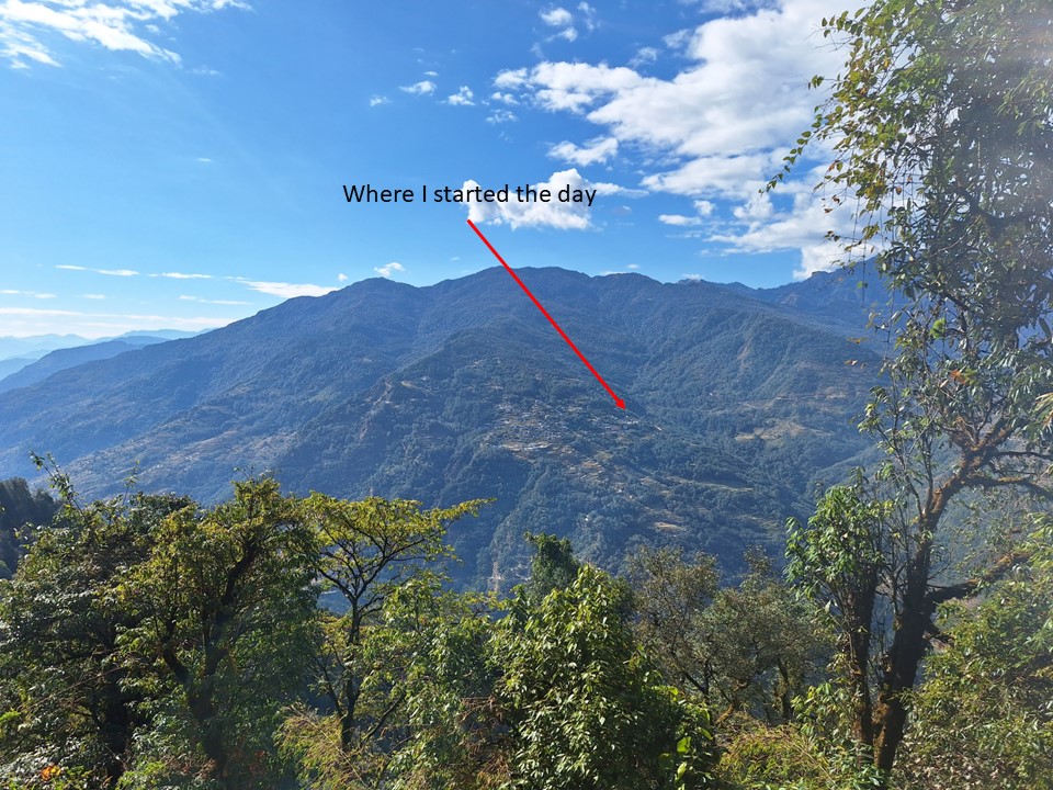
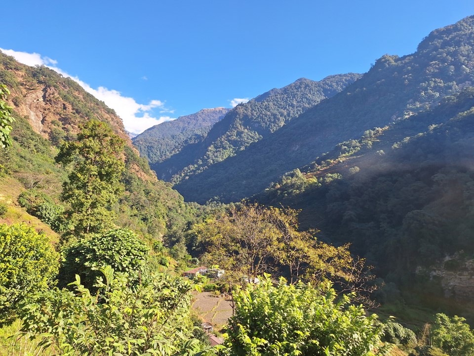
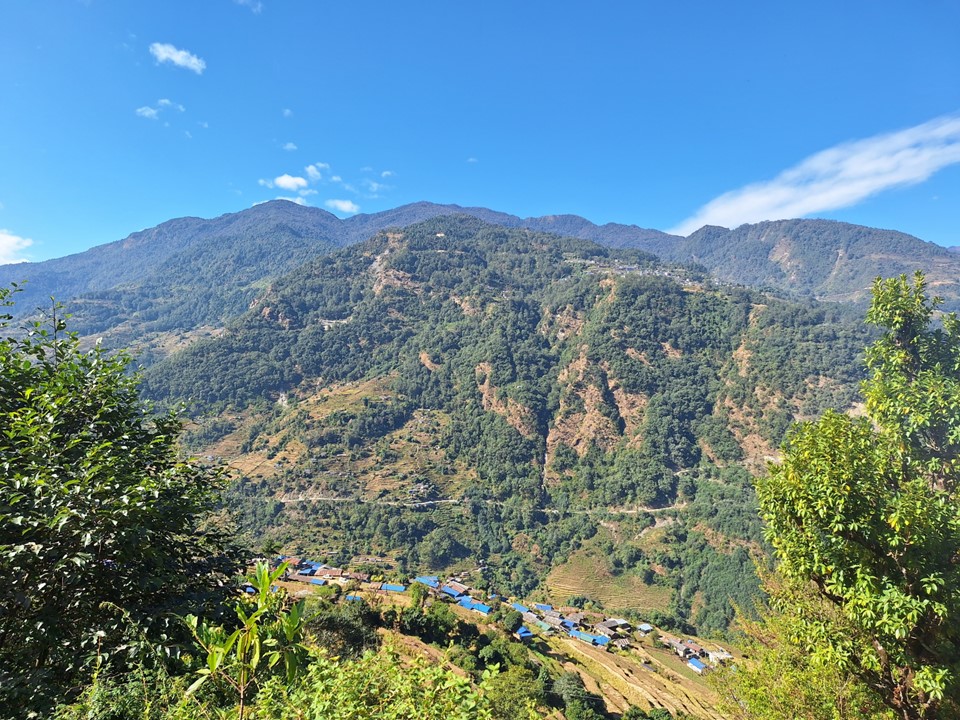
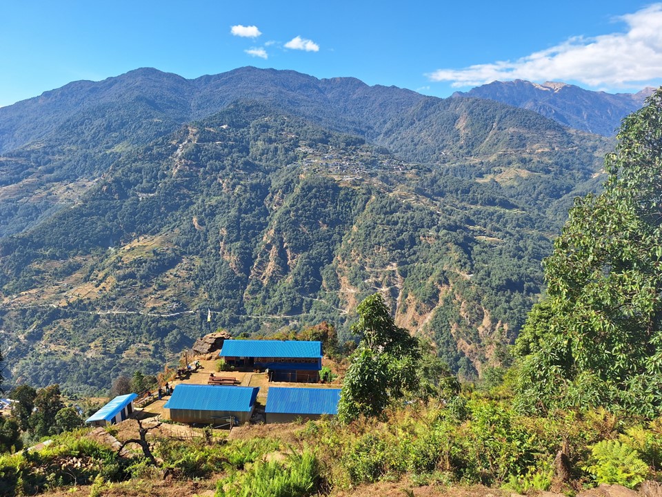
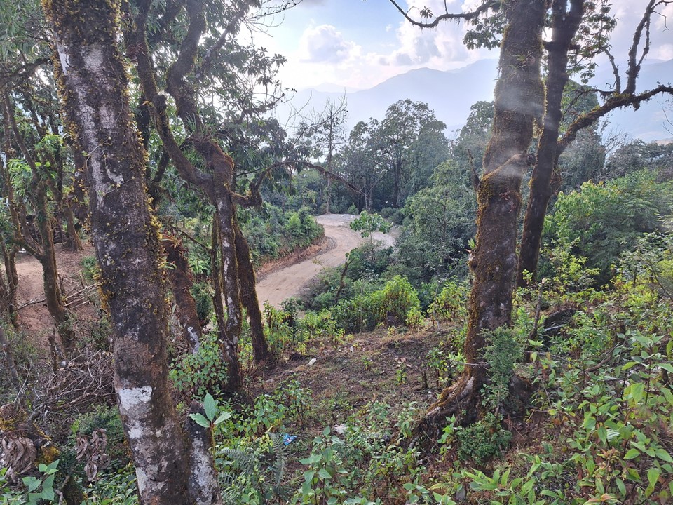
I was soon above the elevation of Gundruk. Looking across the valley at where I had started that day made me realise I was actually making pretty good progress.

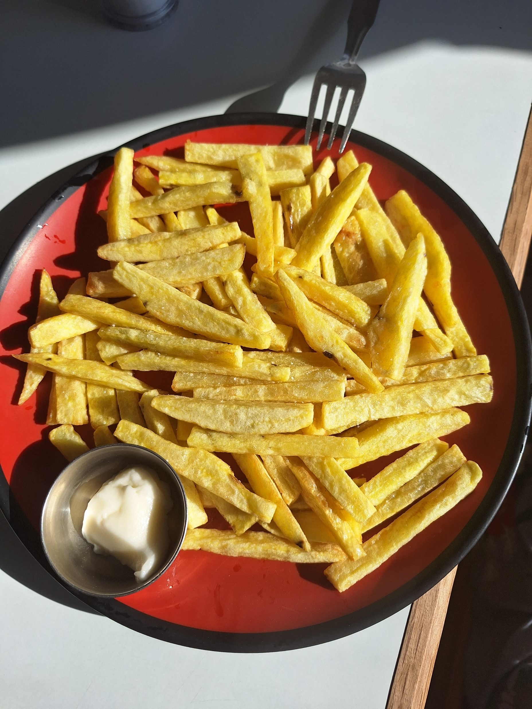
I eventually gained the ridgeline at Forest Camp. I stopped for lunch at one of the tea houses and ordered chips, being something that is quick and easy to prepare. I then saw them walking out into the garden and pulling some potatoes out of the ground. I don’t think I’ve ever had chips that were still growing 20 minutes earlier! And yes, as usual, the quality of locally grown foods is really good.
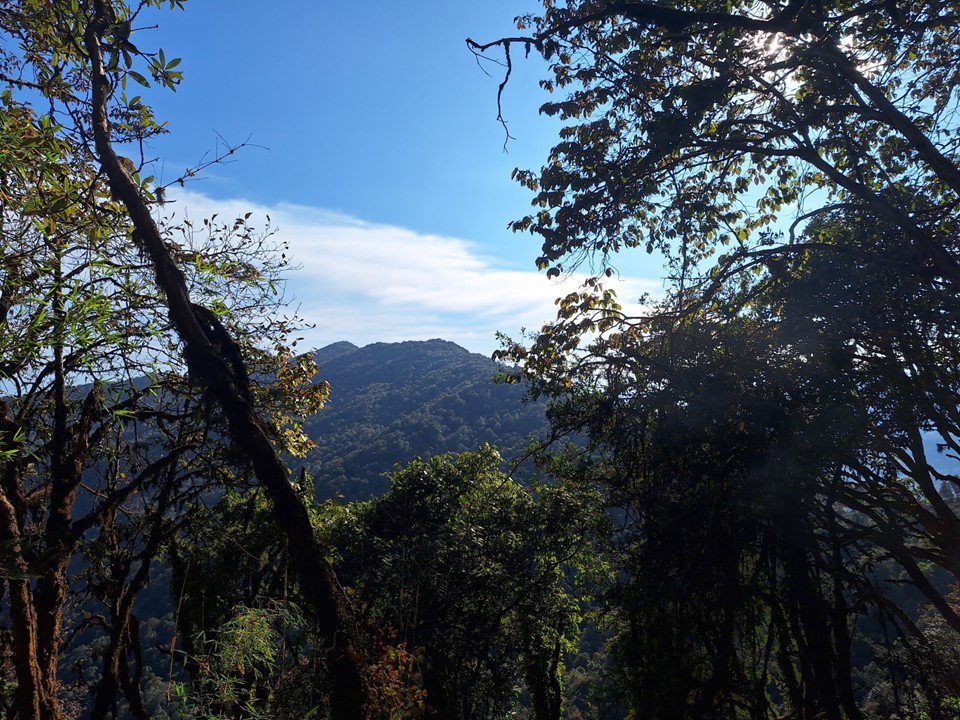
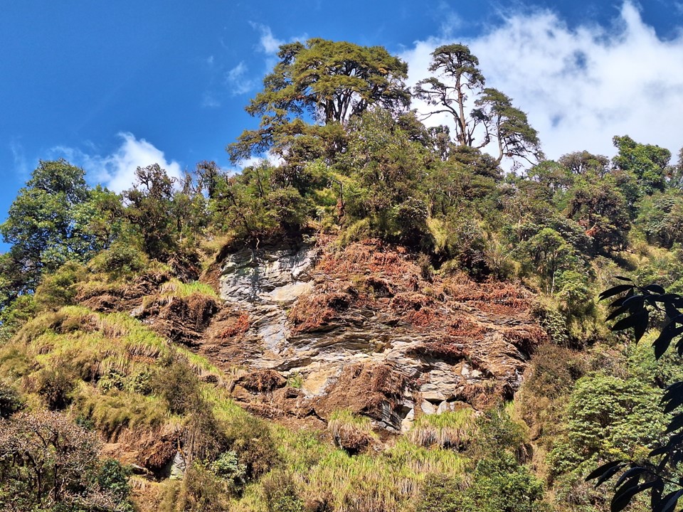
The trees were slowly thinning out, and occasionally a bit of the mountain would be visible in the distance.
It was around sunset when I reached Middle Camp – which isn’t on the map. I could see that there were tea houses scattered throughout the next section, and decided to push on in the dark – after all, I had a headlamp and it was close to full moon.
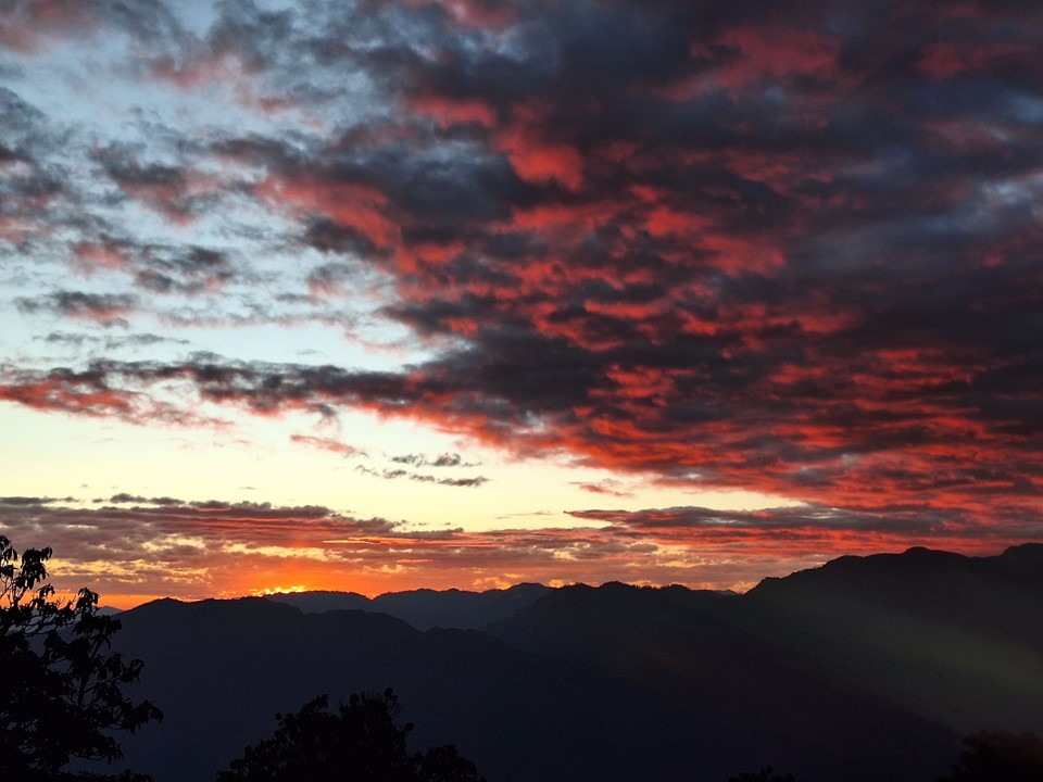
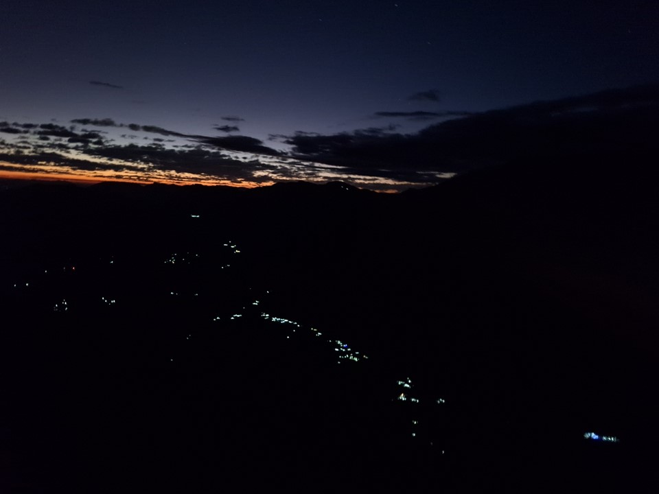
The sunset that followed was one of the best I had on the trip.
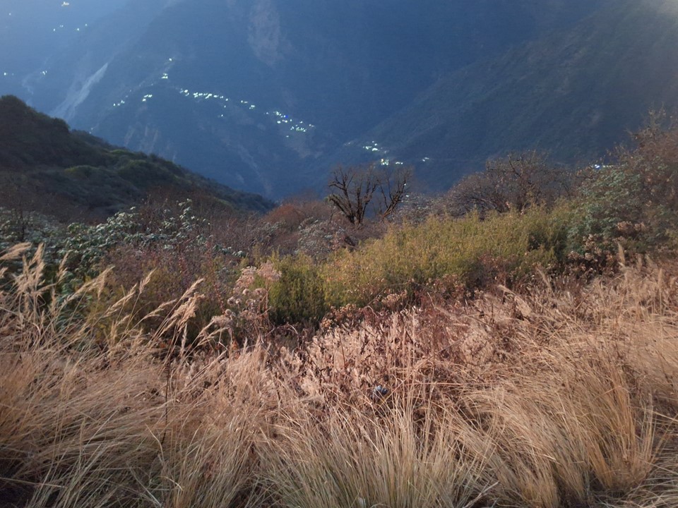
The lights from the tea houses down in the valley on the Annapurna Basecamp trek gave an idea of how popular that trek actually is.
The clouds had largely cleared, but some clouds that remained around Machhapuchhare were being illuminated by the moon that was yet to rise from behind the mountain. The mountain itself was an ominous silhouette with a shroud of bright clouds around it. It almost looked like a giant rising above me. Machhapuchhare is an impressive mountain in any conditions, but being so close to it and directly under it under these conditions was another level. The local population believes it to be the home of certain gods, and when you see it in these conditions, you can understand why they believe this. It was simultaneously the most intimidating and yet spectacular sight I have ever seen. One of those moments that is difficult to repeat and impossible to capture.
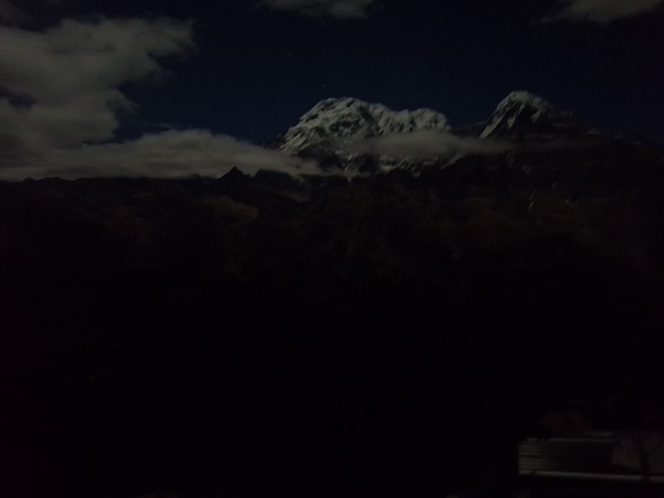
I tried to get a photo of the peaks in the dark to see what my camera could do, but this photo of Annapurna South is the best I could get. For those who haven’t seen mountains by moonlight – I highly recommend adding it to your bucket list.
A tea house owner walking past in the dark told me I should stay at his Hotel Excellent View, and told me to say he had sent me so I would get a special price of NR200 instead of the usual NR500.
About 1km before High Camp, I was feeling what had been a very long day. I then bumped into a couple who had somehow managed to lose the trail and were sitting about 20m off trail in the dark (well, under moonlight, which is bright enough to hike by). Losing this trail takes skill – it is very clear and follows a narrow ridge – but neither had a headlamp, which is perhaps how it happened. I showed them where the trail went, and we went together to High Camp, I was careful to stay close to them and make sure my headlamp lit up the more rocky sections of the trail for them. I guess it was a good thing I was finishing in the dark, if they had been benighted on the route in cold conditions, they would have been in for an unpleasant night.
We got to High Camp around 8pm. I had some dal bhat and a few cups of tea. That classic symptom of a dry throat was coming back, the same symptoms I had had in Pheriche a few weeks earlier.
My plan was to get up early in the morning and hike up to Mardi Himal Basecamp for sunrise. There was another group doing the same, so I would likely hike with them. However, buy 10pm that night I was coughing heavily once again and producing alarming amounts of green phlegm. I knew it would be a bad idea to go higher now.

I was up for sunrise, and managed to get a number of photos from High Camp. The views were exceptional and I was very happy to have seen the sunrise from this amazing location.
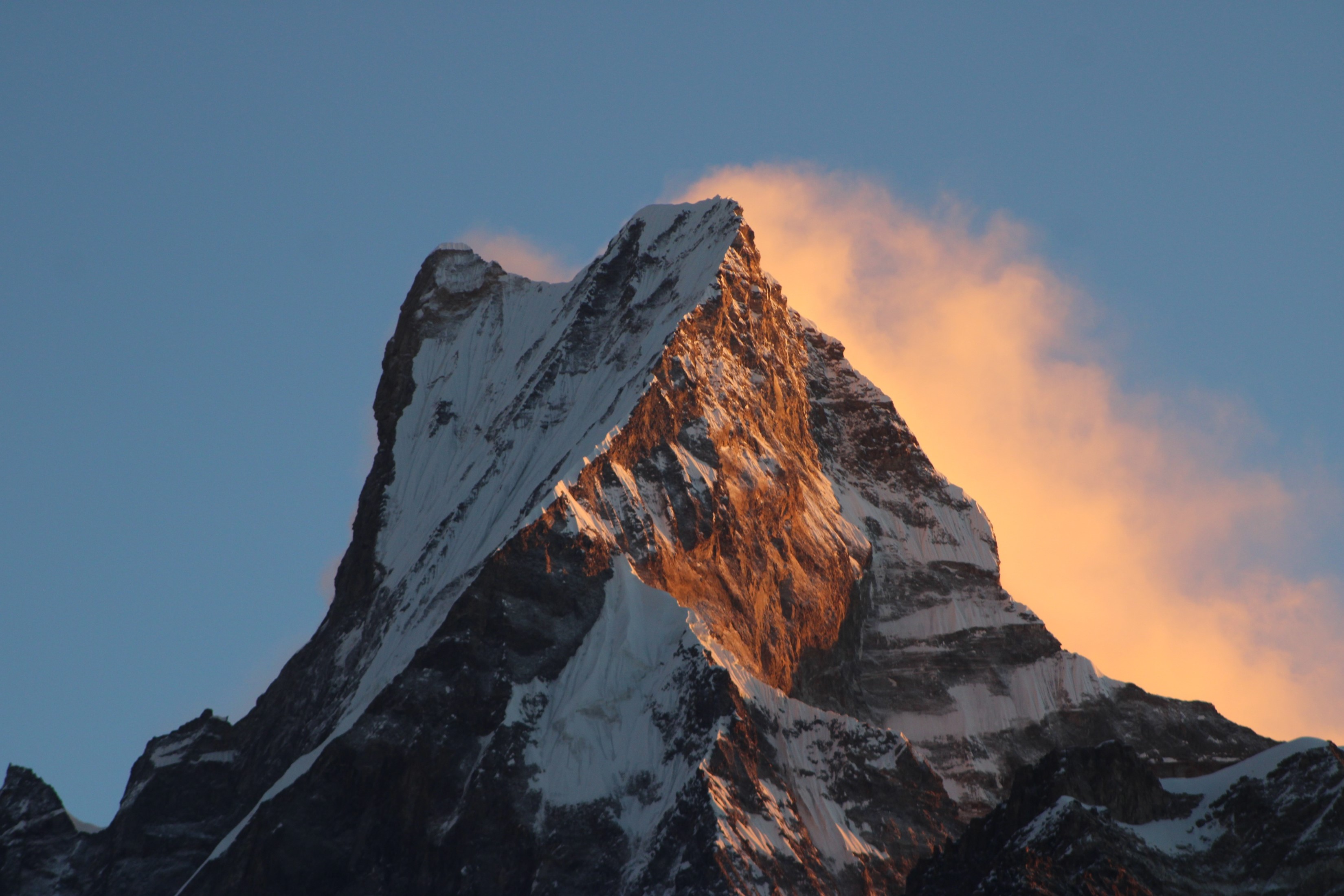
One of my photos of Machhapuchhare from just after sunrise would end up being printed on A0 canvas and is now hanging on my office wall.
Cloud soon rolled in, and after breakfast I started making my way down. I knew this sickness could get worse, and heading up the last vertical km to basecamp was not a wise idea. Mardi Himal is a high point on the ridge which one is not allowed to climb, and thus calling a random spot below it a basecamp is more marketing than an actual location of interest. I had come here to get great views of Machhapuchhare, and I had achieved that. Going down from High Camp I had still achieved what I came here to see.

The plan was to go all the way down to Australia Camp and then on to the main highway to Pokhara. I could hike back to Landruk, which is shorter, but there was no guarantee I would get a jeep on the same day without calling a private one. By contrast, I knew I would likely have to wait no more than an hour on the main road.
The walk down provided mostly uneventful.

When I first saw a road, I stopped at a tea house to ask about jeeps from there, only to be told that the road is only used for deliveries, and no jeeps come there. I kept plodding on.
After a long day of slogging through trails in a forest with much more uphill than one would expect, I eventually reached Australia Camp. I had planned to keep going, but the clouds had just cleared and I could see Machhapuchhare, as well as Annapurna II and IV, so I decided to stay here for the night.
I found a tea house with a room available with a window looking out towards the mountains. With the moon still close to full, I knew the views would be amazing. It baffles me that only one room out of around 20 at this tea house actually looks towards the mountains.
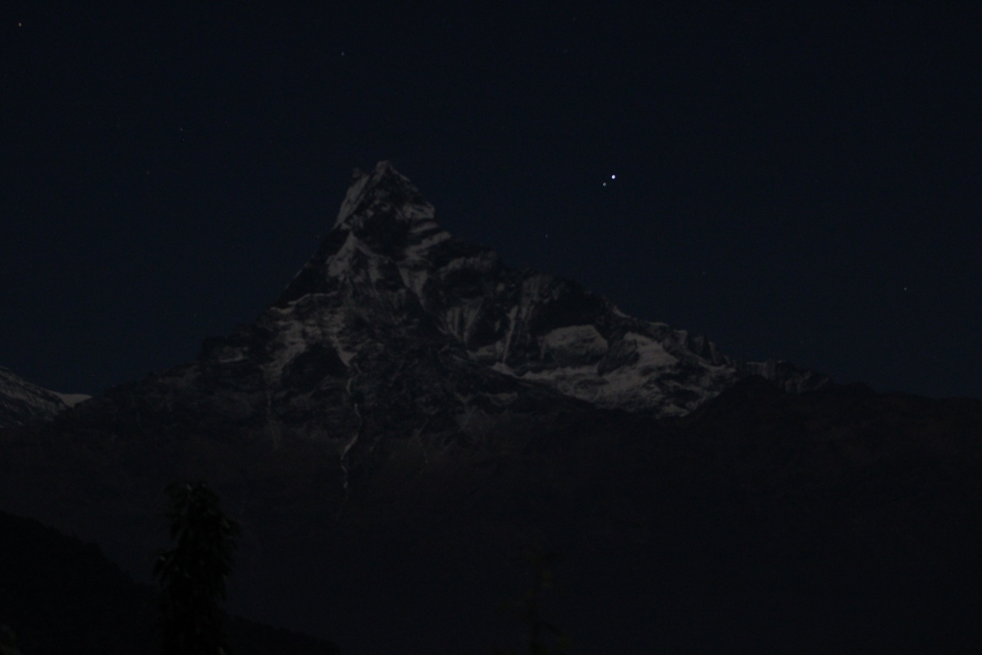
I spent the entire night coughing and blowing my nose – I barely got any sleep. At one point, I actually got my DSLR and small tripod out, and took the above long exposure photo out my window. Yes, the above photo was taken without even getting out of bed! That’s Machhapuchhare, for the record. This photo also explains why I decided to stay here for the night!

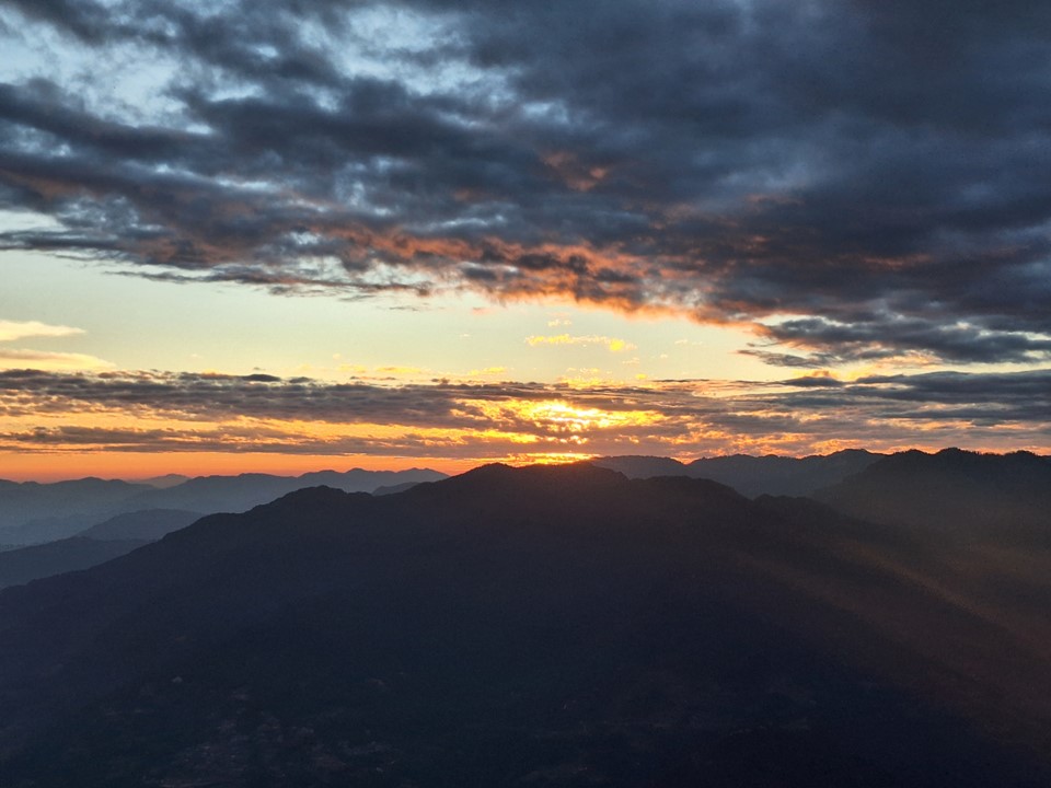
The sunrise the next morning was great, albeit over very quickly.
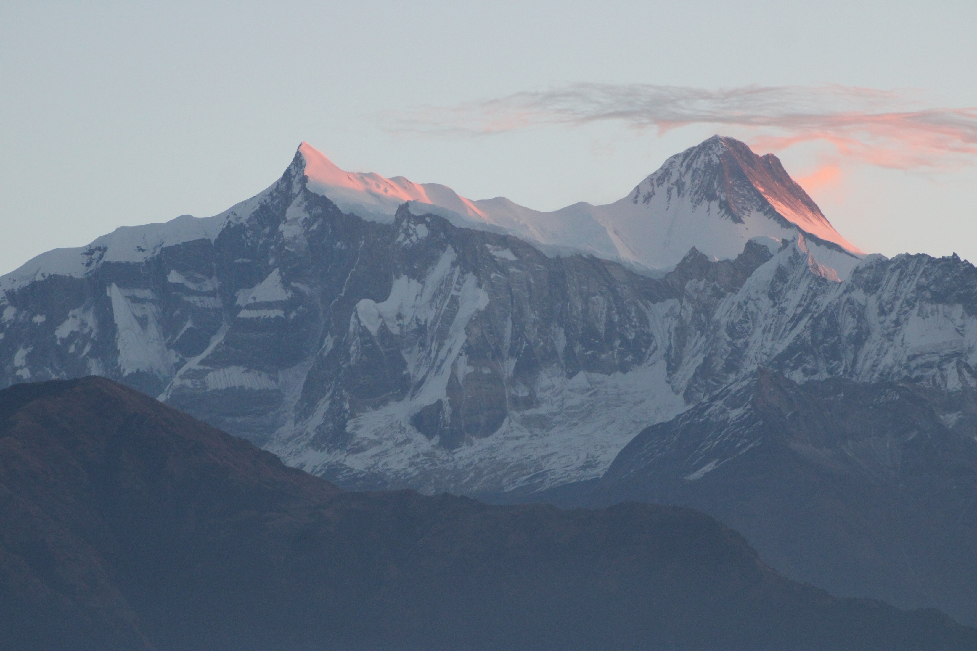
The above photo is Annapurna II (left) and IV (right). Annapurna IV is a subsidiary summit of II, but II is the 16th highest mountain on earth, or the 2nd highest 7000er, after Gyachung Kang next to Cho Oyu in the Everest Region.
It took about an hour to get from Australia Camp to the road, and less than 5 minutes to get onto a bus back to Pokhara. The bus dropped me in the middle of town, and I caught a taxi to the hotel I stayed at in Pokhara a year ago. I still can’t remember its name, and looking at it on Google Street View, the sign is out of focus – but the place over the road from Roadhouse Cafe.
I went to the shops to buy some clean clothes, had a nice hot shower and went to bed (despite it being the middle of the day). It was a good call to turn back at High Camp, I was far too sick to keep going.

I was on the first flight from Pokhara back to Kathmandu the next morning. Despite perfect weather, it was delayed by over two hours supposedly on account of bad weather. Nonetheless, I had the full day in Kathmandu, so I wasn’t worried.
On landing, I got a taxi to the tourism office. We had to close the expedition file on our Ama Dablam attempt, and I was the last person in basecamp, which made it my task. One of Pasang’s friends, also named Pasang, met me at the offices. The staff were very friendly, asked a few questions, made me sign some forms – some of which were in Nepali and thus I have no clue what I signed – and gave me a masala tea and gave me a traditional khata (Nepali scarf) as a farewell.
I had an interesting discussion with Pasang – who has climbed Everest, Cho Oyu and Shishaangma, the latter two without bottled oxygen. I forget how many time he has climbed each, but he is clearly a very experienced guide.
I proceeded to the Fuji Hotel and bought a few items to bring home for friends and family. I got my bags ready.
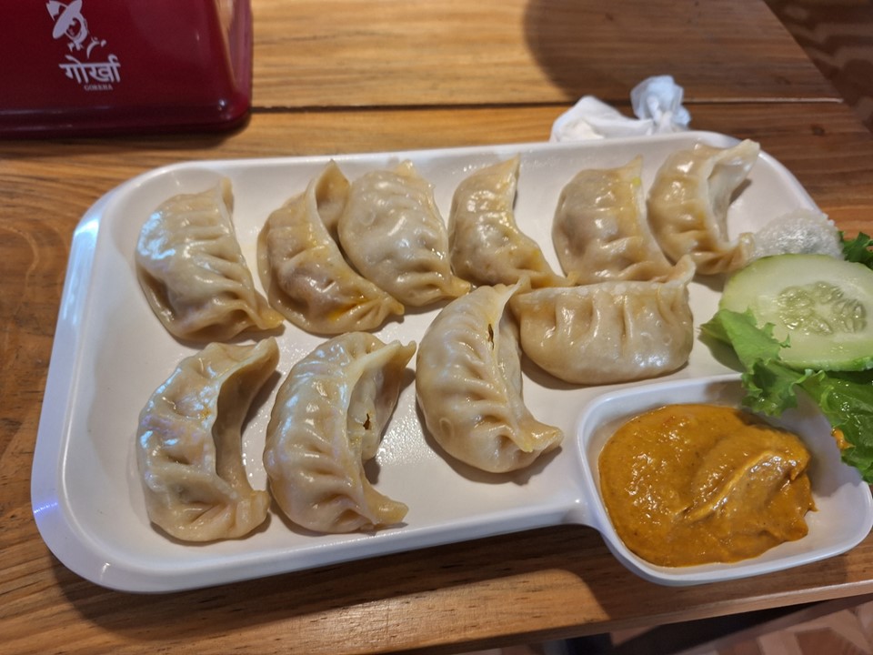
That evening, Mingma (Pasang’s son) took me to a cultural show where two ladies danced the traditional dances of each of the major regions of Nepal, along with the traditional clothing of each region. Seeing the different colour schemes of the different regions was very interesting. They served a traditional Nepali foods – which included the standard items such as momos and dal bhat, all of which I’ve had many times. I think the appeal of these kinds of events are for a more general tourist who doesn’t venture into the remote regions. For me – none of it was new.
The next day I had a plate of momos for my final lunch before flying home. Its funny, I didn’t really enjoy them on my 2022 trip, but they have really grown on me since then.
The following afternoon I was back at Kathmandu Airport. I had been away from home for a month, but I’m never happy to leave Nepal. After a some very slow queues, I was eventually at the final security checks when I was called out of line because there was a power bank in my checked luggage. They made me unpack my bag, repack those in my hand luggage and proceed back to security. This time the reason the plane left late was because of my. Oops!
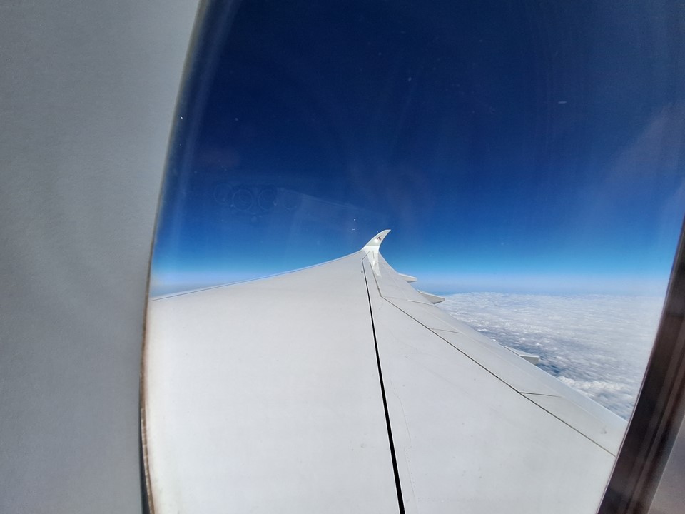
Incidentally – in the photo below, those “clouds” in the distance are actually mountains.

I was sitting next to a Honduran American on the flight to Doha. I didn’t adequately use the opportunity to practice my Spanish, unfortunately, one only realises how little they speak of a language when they try to talk to someone who speaks it as a first language.
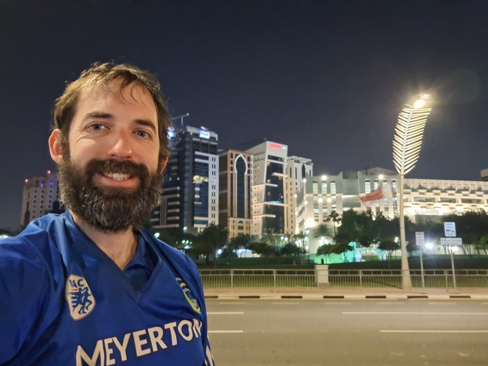
When we landed in Doha I wasn’t feeling well and had actually lost my voice, I was barely able to talk. Nonetheless, I wanted to be able to say I’ve been to Qatar, and the airport doesn’t count. I get 90 days visa free in the country, so I went through passport control – which had an insanely long and slow moving queue – and caught a taxi to the nearest souk.
There was an ongoing conference in Doha, and we got caught at an intersection that was being blocked to allow some important person to go through. We waited at this intersection for 30 minutes. If my layover hadn’t been so long, I would have been panicking by this point.
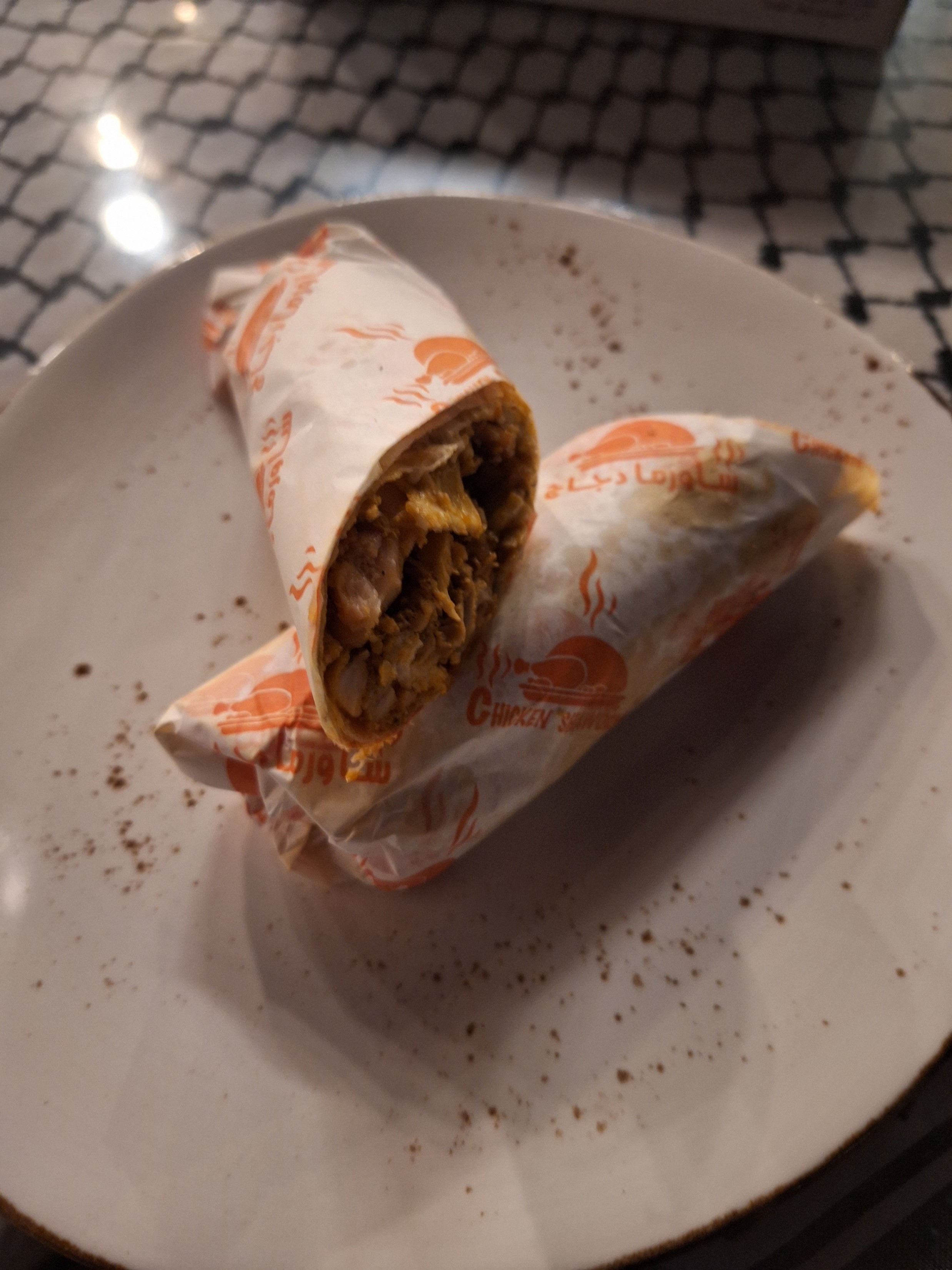
I briefly lived in the Middle East as a teenager, and since then I have been trying to find a proper Middle Eastern style shawarma. While there are some places in SA that produce decent shawarmas, none are in the league of those I used to have in Kuwait. The one I got at the souk was very different to the ones I used to get in Kuwait, but was easily the best shawarma I’ve had in a very long time.
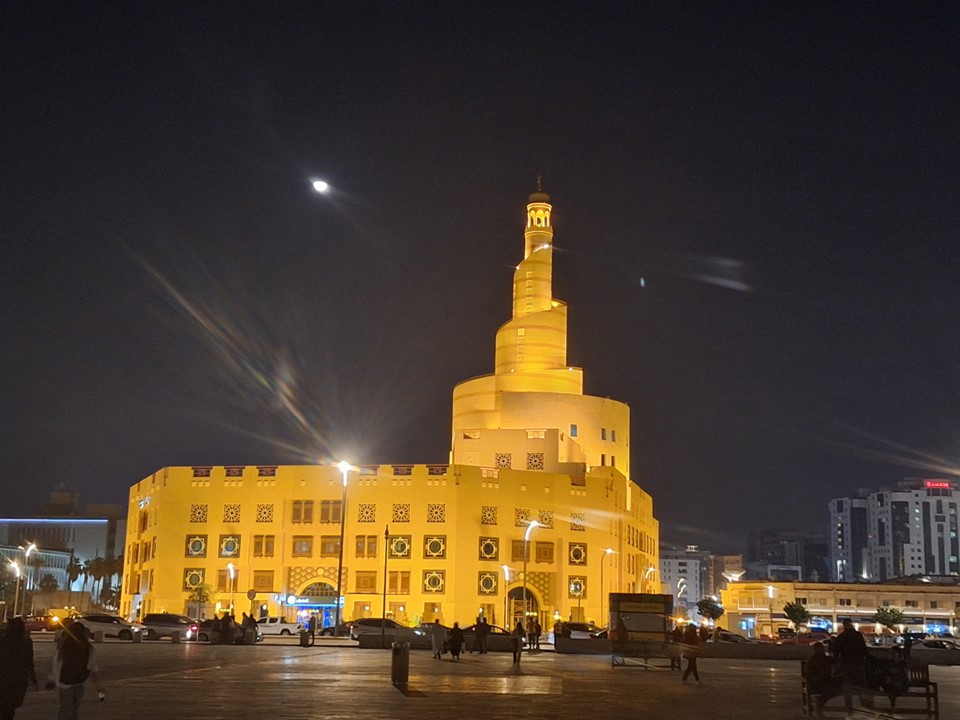
I walked around the souk a bit and bought some tea and chocolate to take home. I then got a taxi back to the airport. I had plenty of time left before my flight, so I could have stayed out longer, but the flu symptoms were getting worse.
Arriving in Jo’burg is always a mixed emotion, great to be home but sad the trip is over. My throat was very sore and I could barely talk at all, so I wasn’t in great shape. My mother brought some cough medicine for me, which actually helped a lot. I will likely take some of my own with me next time I do a trip like this.
The following day at work, I lasted less than an hour before being told to go and see a doctor. I ended up on antibiotics and booked off for 3 days. Not ideal when one has been away from work for a full month! As at the date or writing this, more than a month after getting home, I am mostly recovered, but am yet to even manage a sub 30 minute 5km run, so this did hit me really hard. Getting sick on a trip like this is never ideal, and did result in me achieving substantially less than I had hoped – but that’s life sometimes, and it remains overall one of my best international trips.
