Only three ridges in Southern Africa rise above 3400m. The northern two of these both contain country high points and are hiked more frequently as a result. If measured from the escarpment edge, in a reasonably straight line, to the point where the drainage basins these ridges separate finally combine, the Mafadi/Makheka Ridge and the Thabana Ntlenyana Ridge both extend for around 35km. If a mountain is defined as a summit with at least 7% topographic prominence relative to height (definition used for the rest of this writeup) – both ridges include a single mountain summit, being the ridge high points of Makheka (3462m) and Thabana Ntlenyana (3482m) respectively.
But hidden away at the bottom end of the Eastern Ridge, also known as High Berg Escarpment, there is a ridge that extends far further than the others. With five different mountain summits on the ridge, three of which are in the top ten highest mountain summits of Southern Africa, the Leqooa Ridge extends more than 70km into Lesotho! I have been fascinated with this ridge for years, having climbed Tsepeng (3431m) to acclimatise for Kilimanjaro in 2015 and repeated the peak again in 2018. In 2022 I would finally manage to get up the second highest mountain summit on the ridge – Makoaneng (3416m).
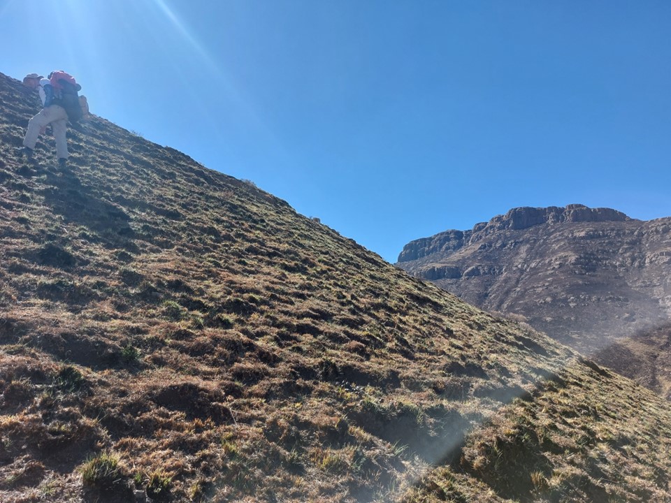
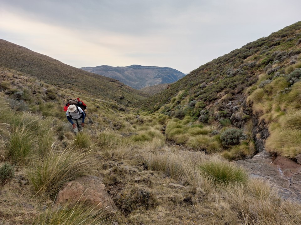
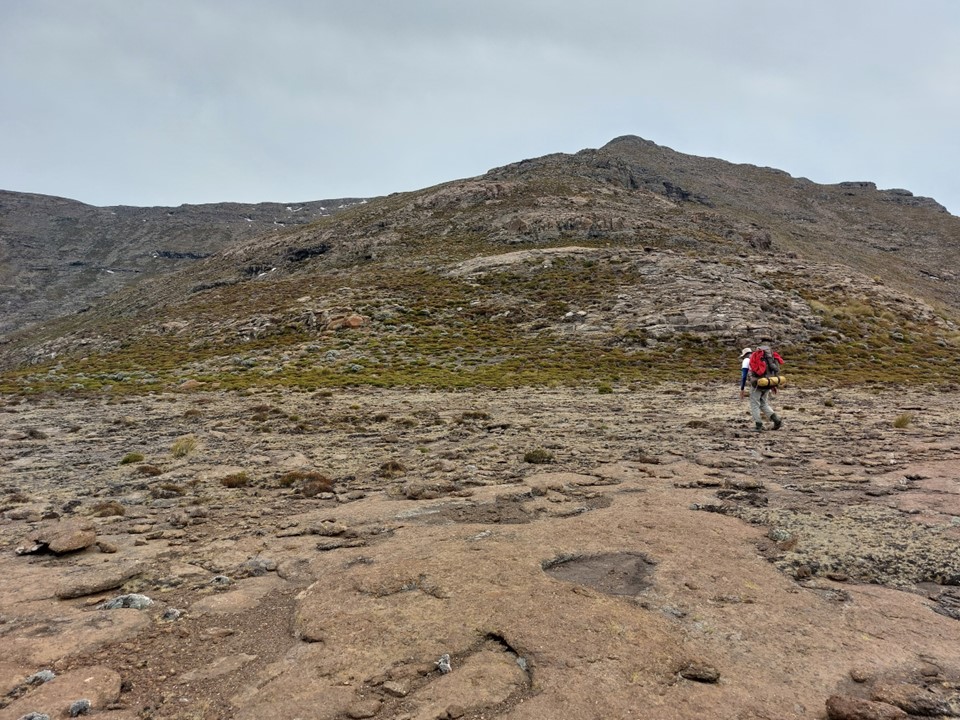
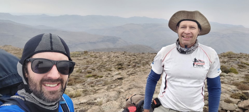
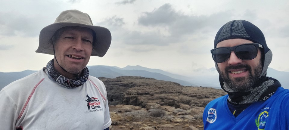
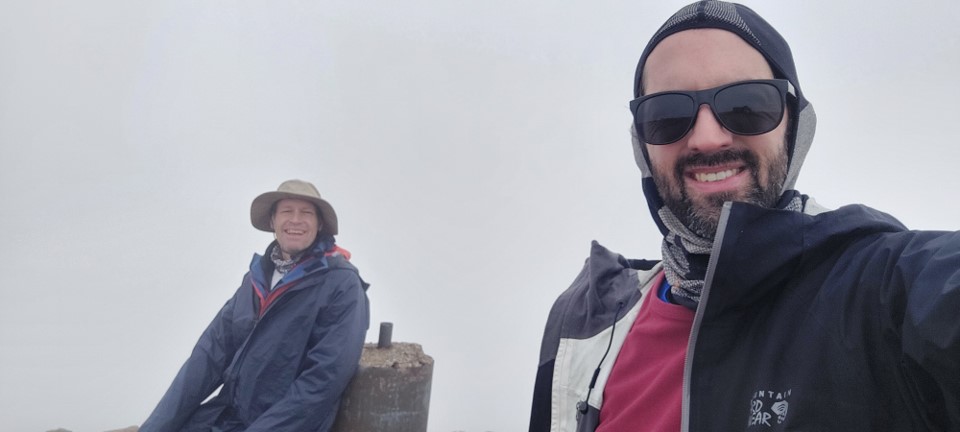
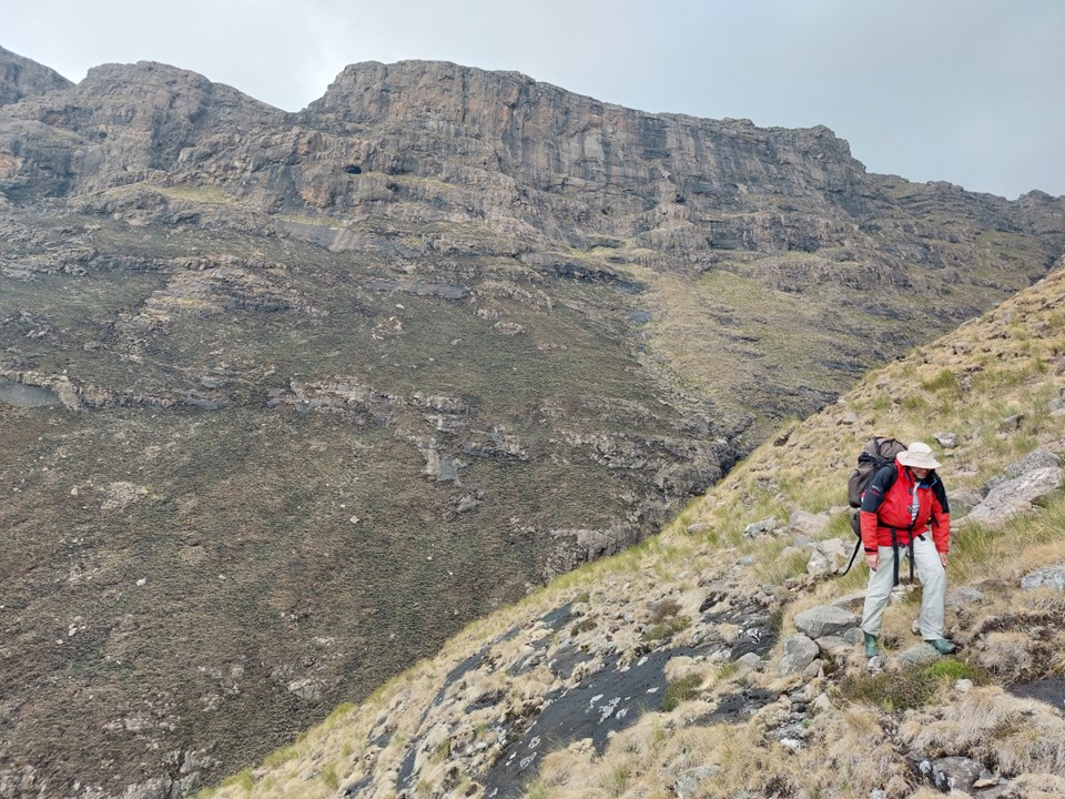
Keeping my Heritage Day weekend hiking tradition alive – I teamed up with Michael R. We had last hiked together in 2019, but with over 400km of Drakensberg distance together previously, we know each other well. Michael opted to get a head start by hiking to Thamathu Cave the night before. I camped at Bushman’s Nek offices on Thursday night and got an early start up the mountain.
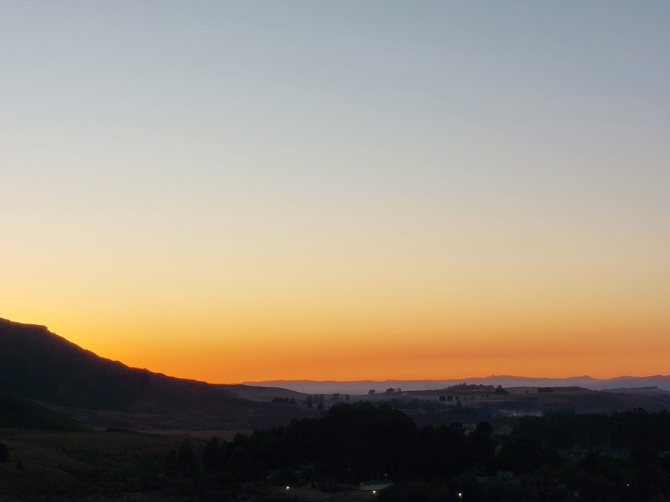
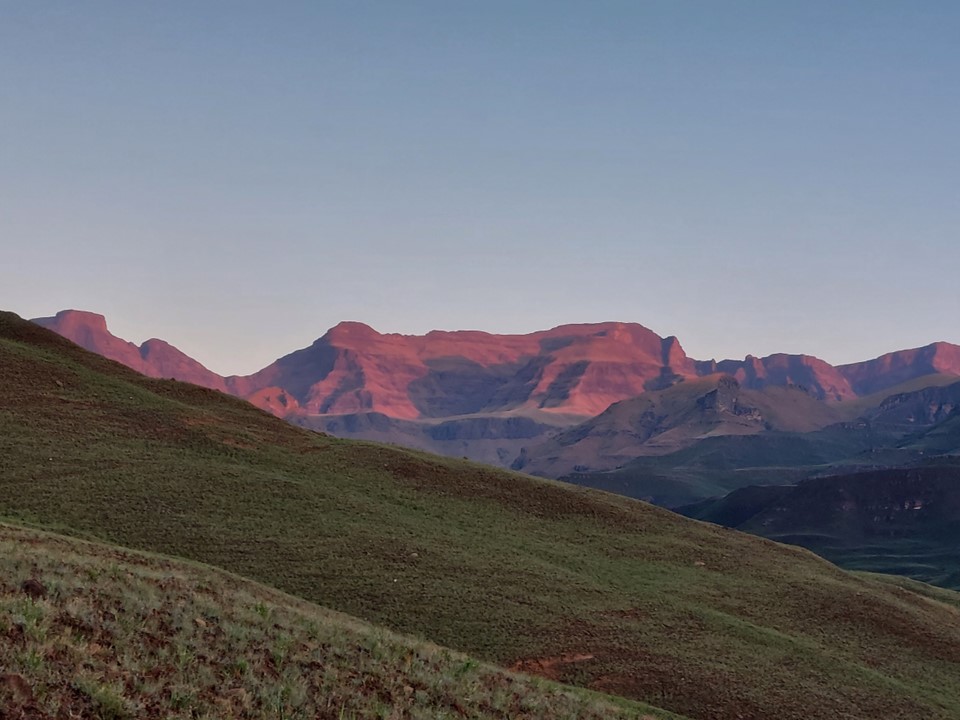
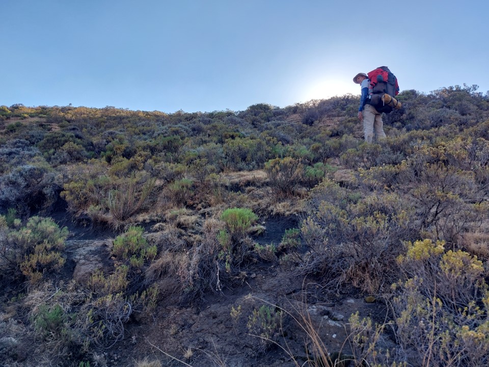
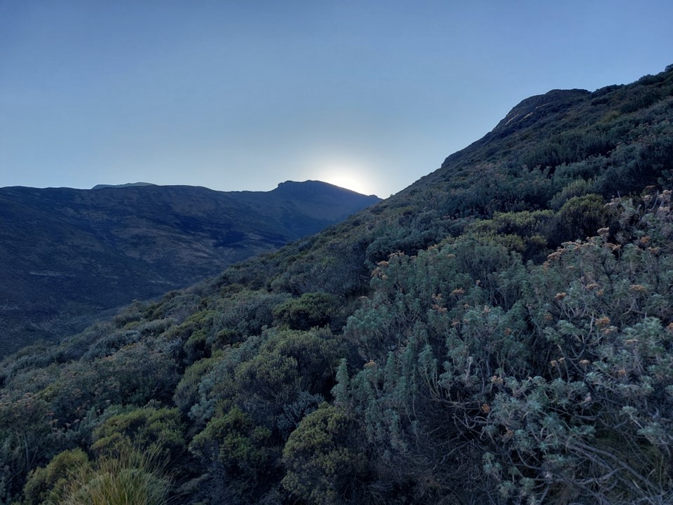
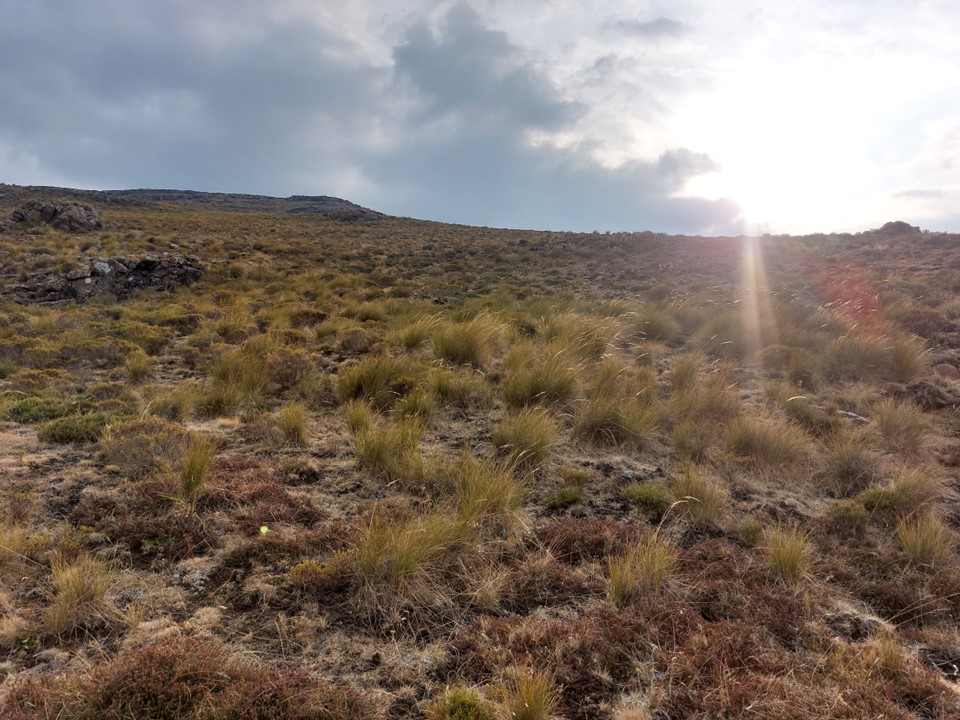
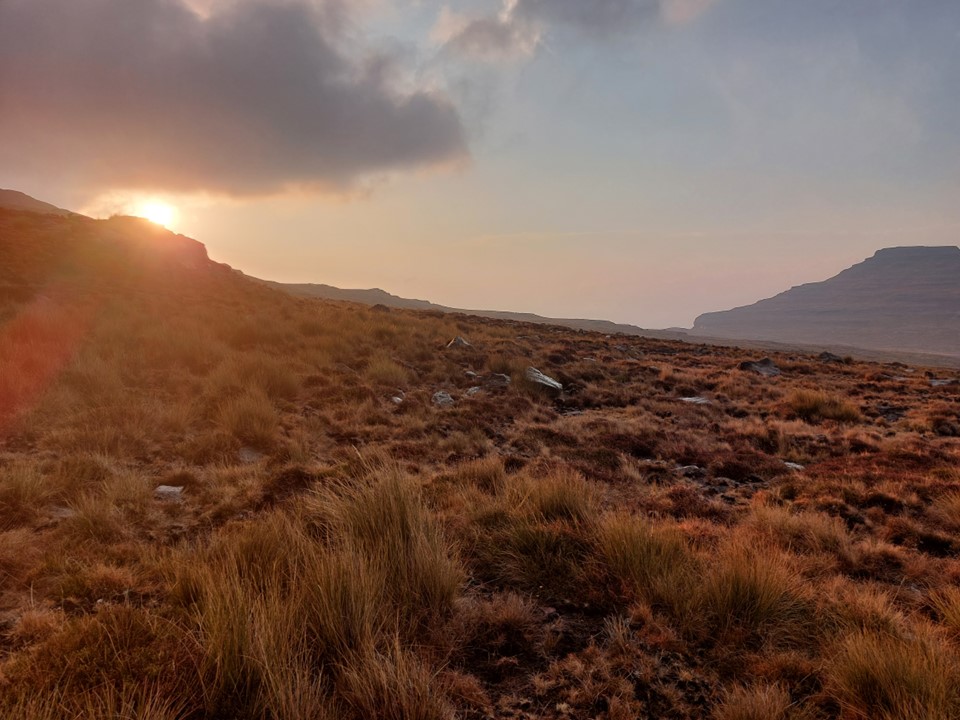
Upside of an early start is the mountain sunrise. I’ve seen hundreds of them, and they never get old.

After sorting out a few work related issues before phone signal came to an end, I made my way up to the top of the pass.
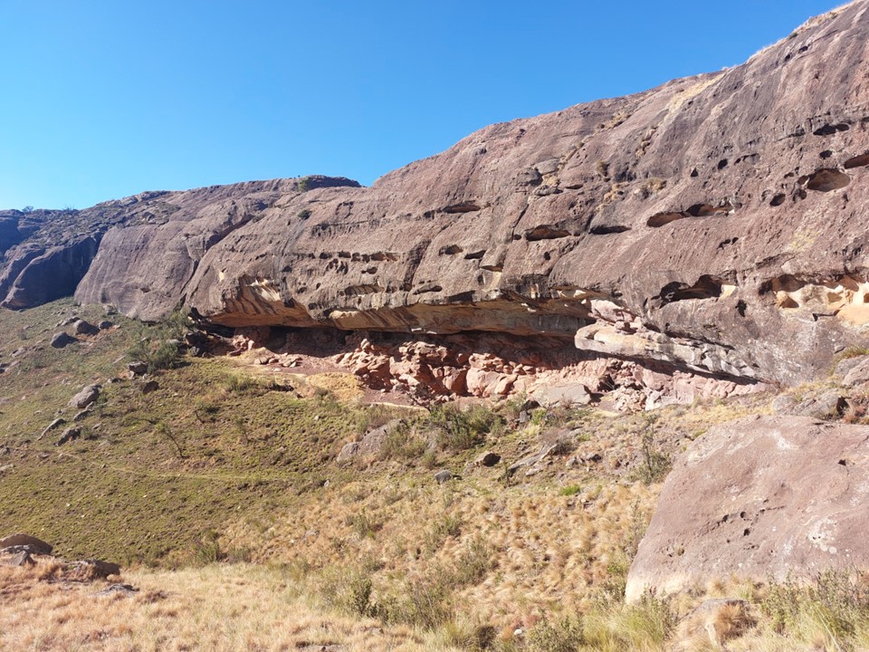
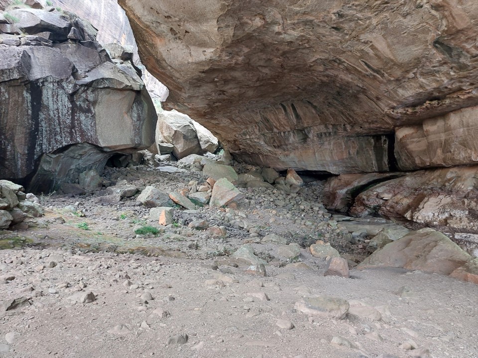
There was no water near Thamathu Cave, which is common for the end of the dry season.


Around 8:30 I found Michael by the river behind the pass. It was roughly where I had expected to find him.

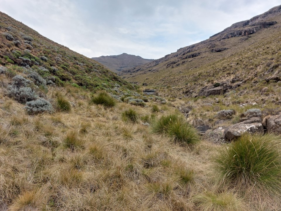
We proceeded to follow the route that Dave and I had used a year earlier.
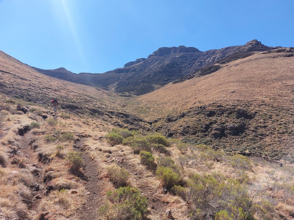
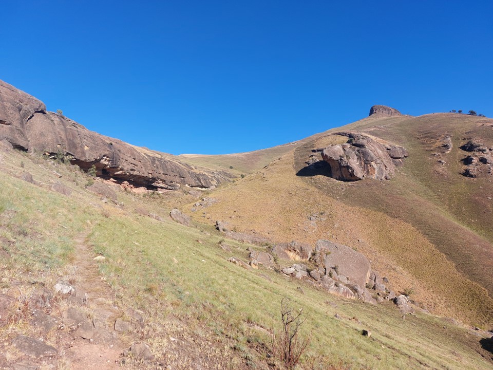
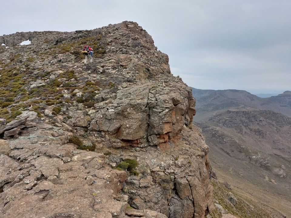
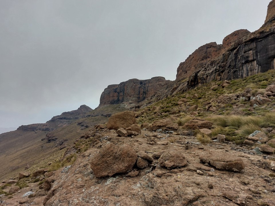
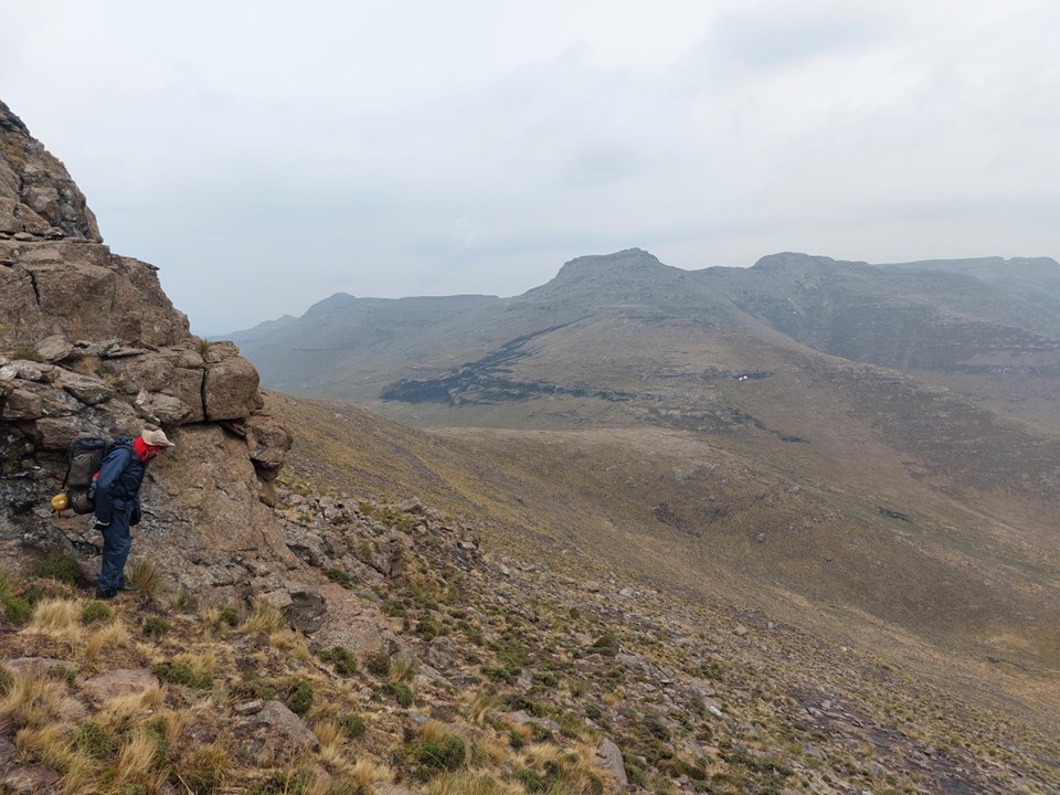
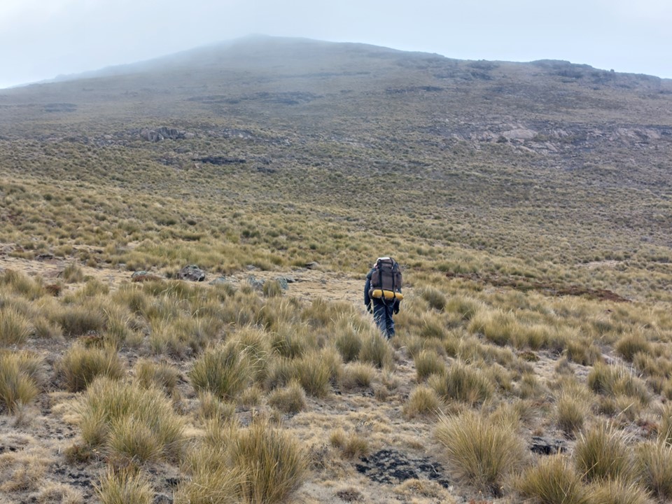
There is a good trail over an unnamed pass that tops out at 2750m, and places one in the perfect spot to access Makoaneng. In the theme of many other mountain routes, I refer to this route as Unnamed Pass. It does admittedly lack the drama of Pakistan’s Nameless Tower, but the name is good enough for an unofficial route that’s almost never used by hikers.


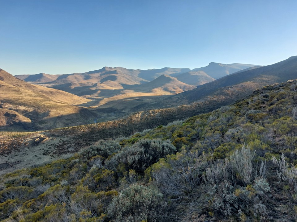
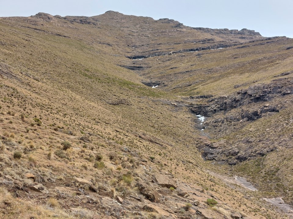
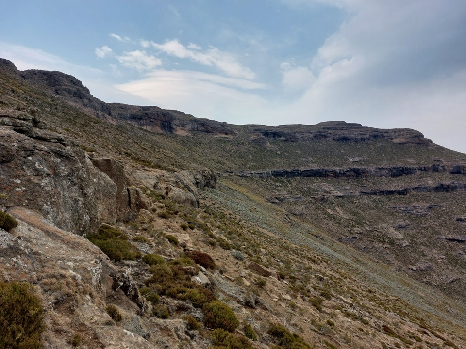
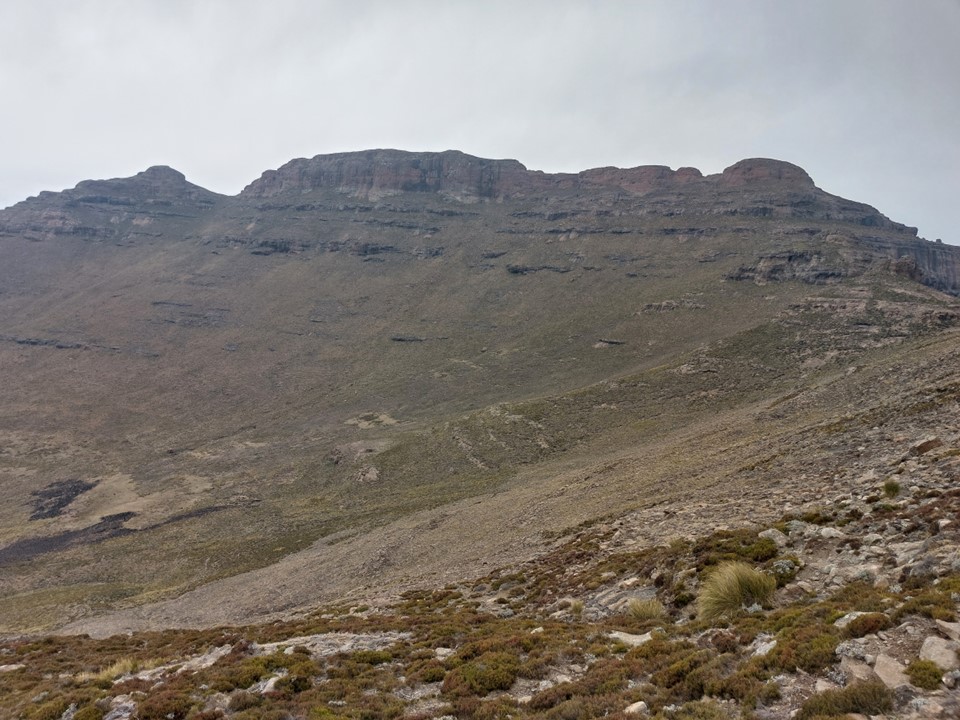
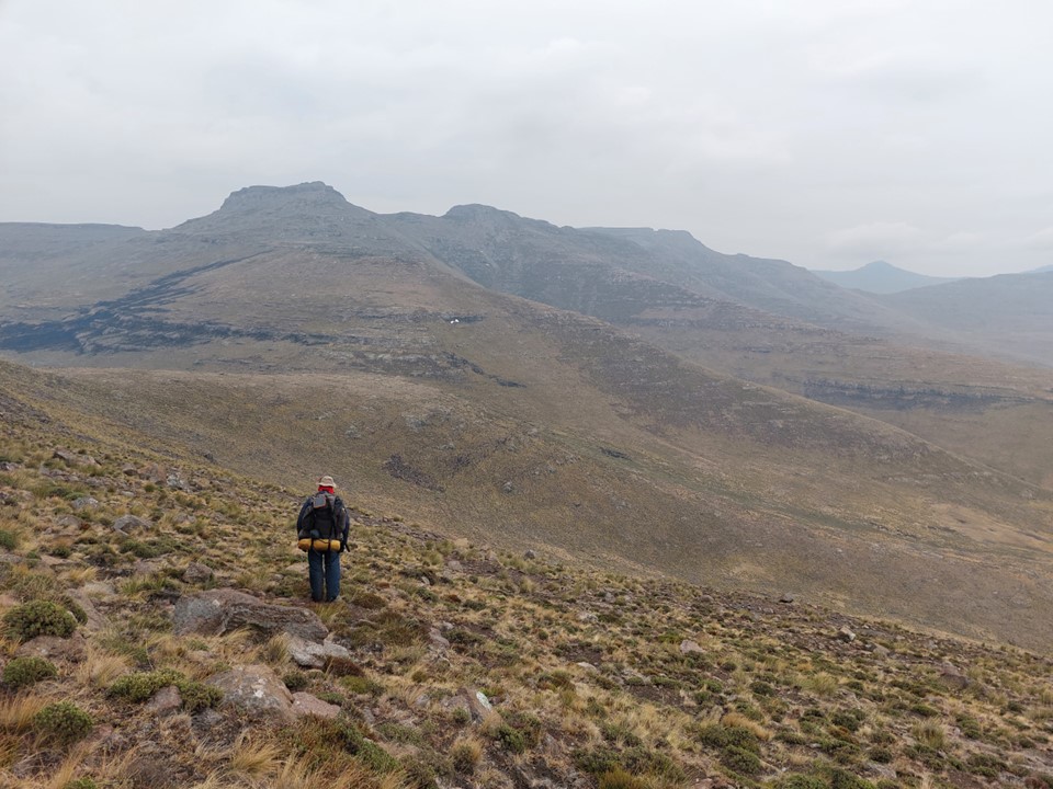
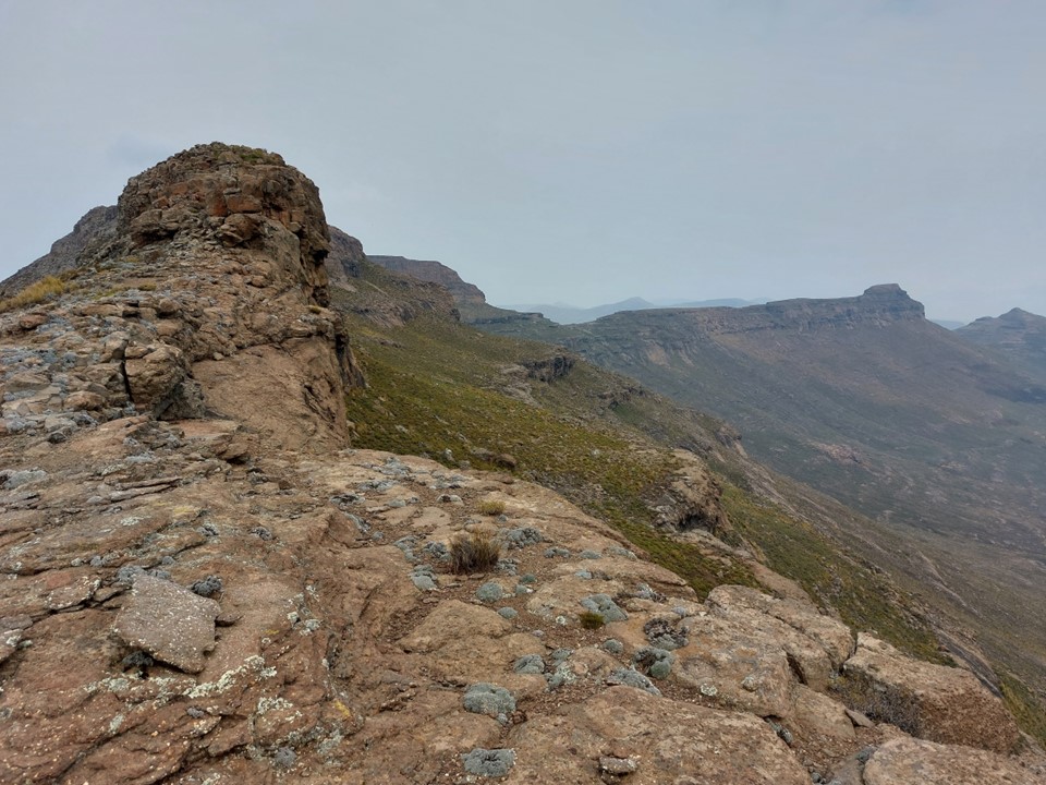
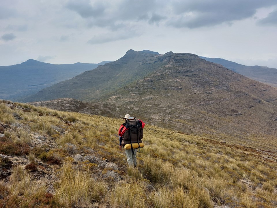
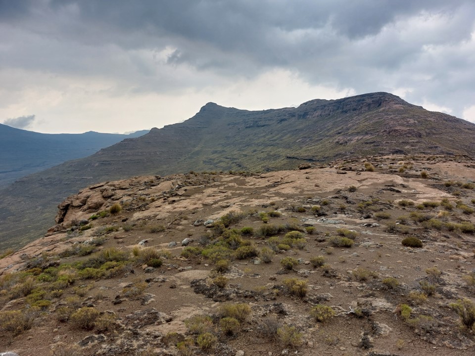
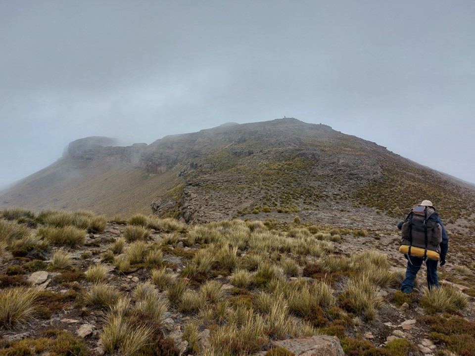
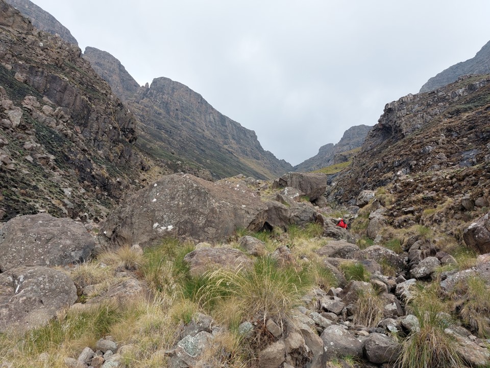
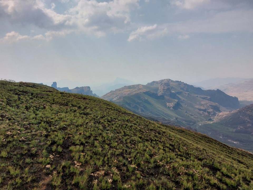
The top of the ridge provides the first proper view of Makoaneng and the Leqooa Ridge. Last year we had reached this spot to see the ridge covered in snow. It was admittedly a lot less interesting in dry September conditions, but the size of the ridge is something that’s difficult to capture in a photo.
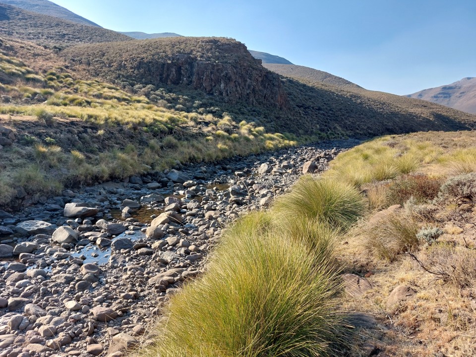
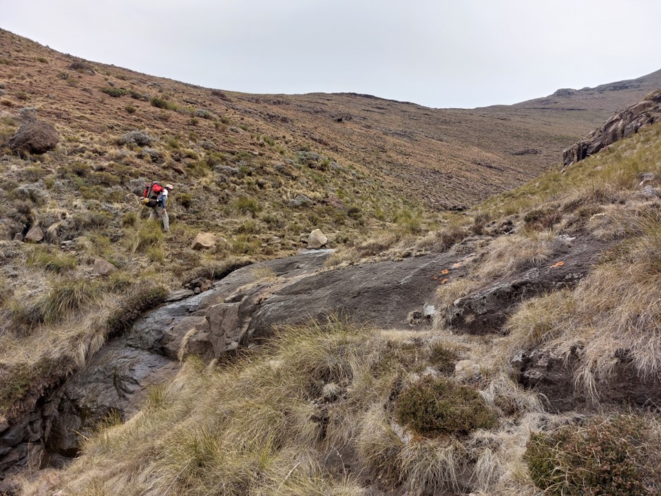
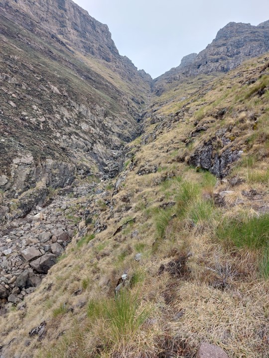
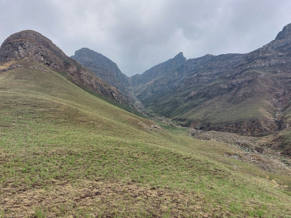
We made our way down to a very dry Leqooa River. The plan had been to get as high on the ridge as possible where we could still find water, but if the main river was this dry, odds of good water higher up the ridge were low.
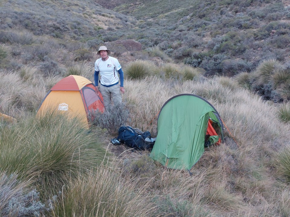
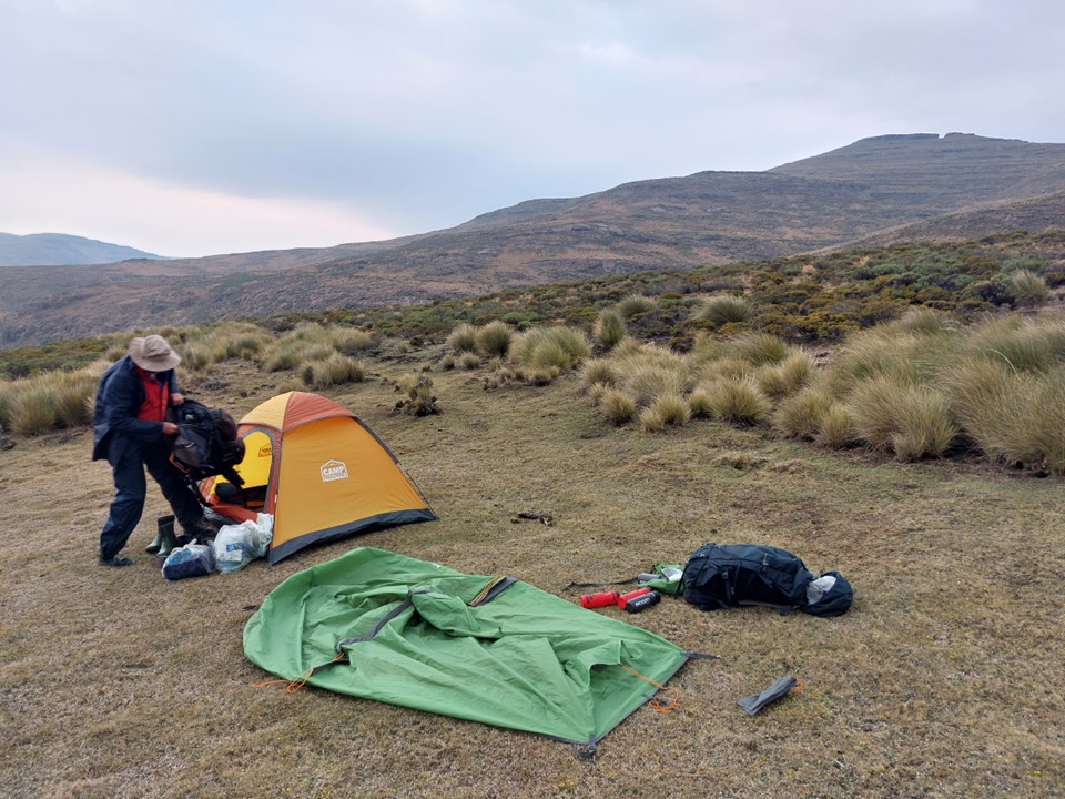
At 2550m we found a spot with a small relatively useful camping spot and a trickle of water and decided to call it a day. With 27km and 1.5km elevation gain for the day – it was a reasonably tough day out!
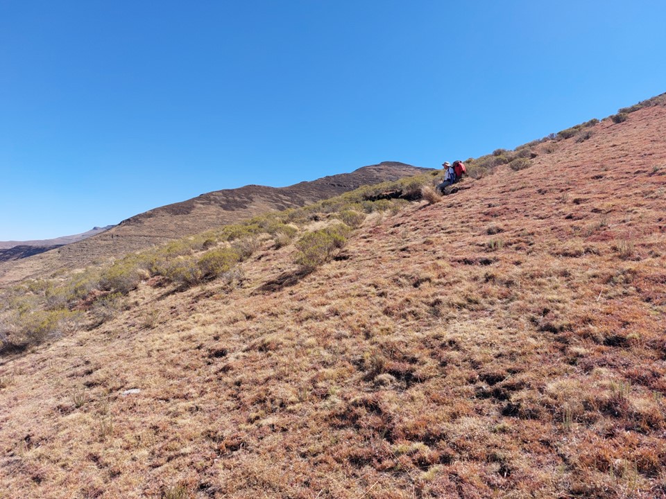
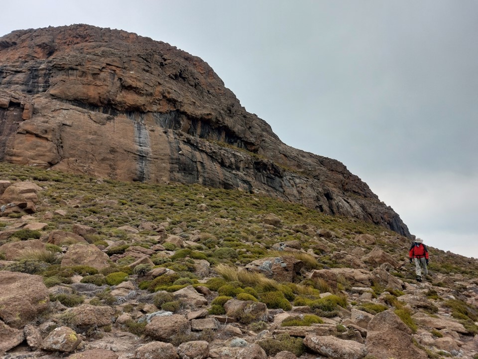
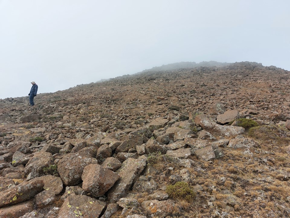
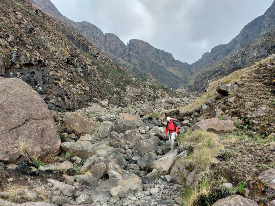
We started day two with the long slow slog up Makoaneng. Being the fourth highest mountain in Southern Africa, I guess I shouldn’t complain about how big the climb was! It isn’t steep, but it is one of those never-ending ridges.
We did actually find some water higher up the ridge, but with the lack of suitable camping spots, it was probably not a bad call to camp where we did.
We left the river lower than Dave and I had done a year earlier.

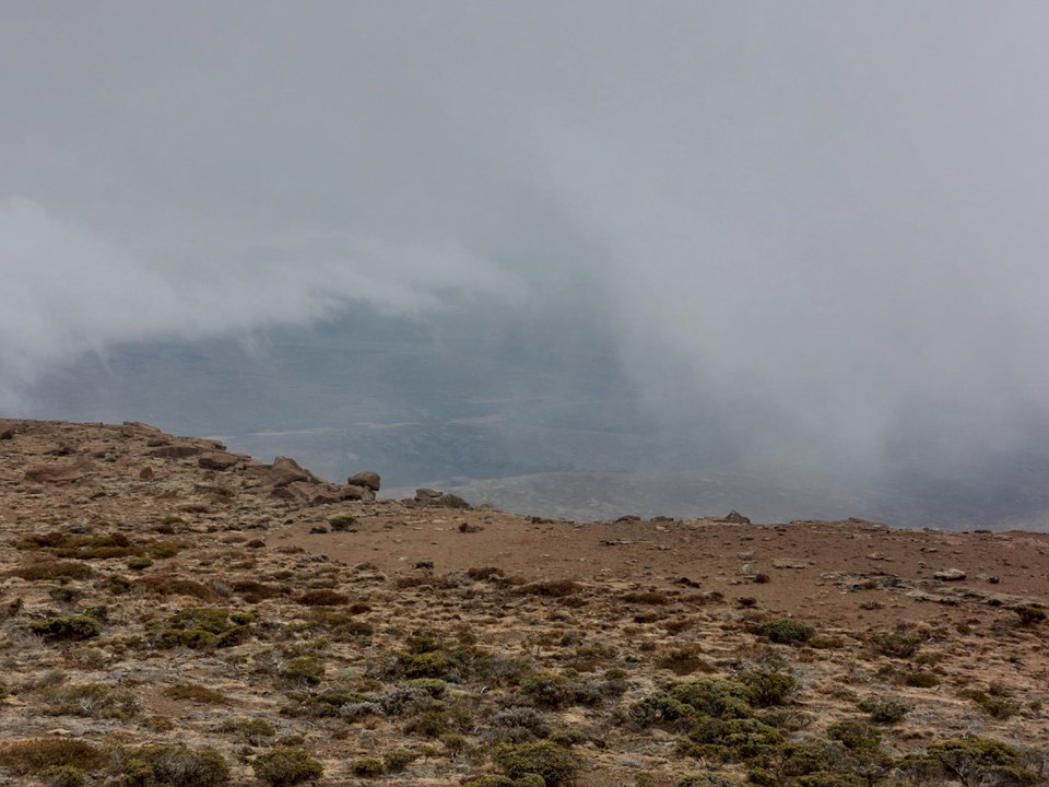
On reaching the summit I had two realisations – the weather was going to be a lot worse than I had expected, and I didn’t actually know how to connect this summit to the main ridge!
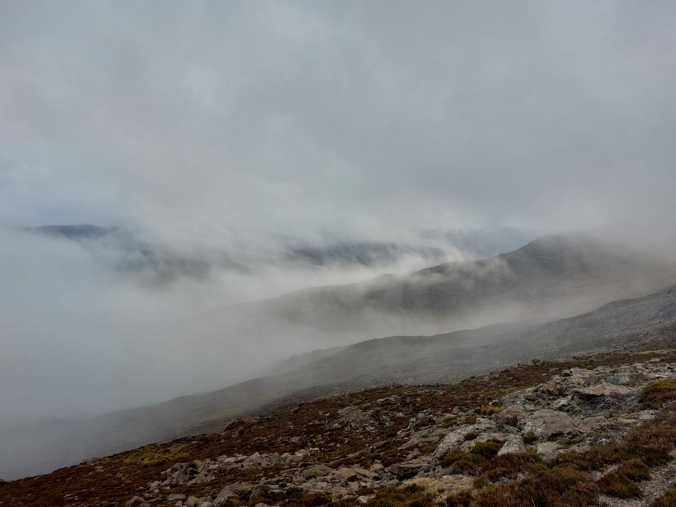
We tagged the summit in an icy gale. The east side of the ridge was sheltered from the wind, but the top of the ridge was being blasted. I immediately knew what this meant – I remember my high school geography – this was a cold front moving in. I knew the forecast had been for a cold front, but it was only supposed to hit on Sunday night. Once we commit to the ridge, we are stuck on either the ridge or the valley till we can cross back into SA – Mountain Rescue doesn’t operate this far into Lesotho, and even if they did, there’s no way to contact them in such a remote location, so the margin for error would be small. Knowing it might be a bad idea to continue, we discussed our options and agreed to continue. If the worst came to the worst, we could drop into the valley to get out of the weather and wait for things to clear.
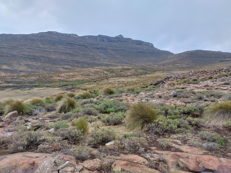
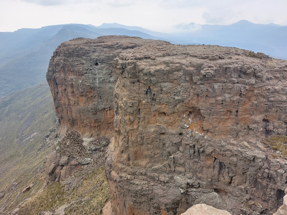
Makoaneng is a monster of a summit – with the summit being much larger than any of the other peaks above 3400m. It also has large cliffs on its northern flanks. We eventually found a way down on the west side, and immediately looked for a spot out of the wind where we could add additional clothing.

Our original plans had included summiting Makoaneng II and Qhaliseng – two summits with less than 7% prominence, but more than 200m, and which we could measure to identify if the readings we had off satellite data were accurate. But in these conditions and knowing the exposed position we were in, we opted to skip both. Climbing a possibly relevant mountain in an icy wind wouldn’t be a great experience, and all I wanted to do was get out of the cold wind.

Anyone following my current mountain related ambitions and reading that comment might think “this guy thinks he can climb in the big mountains, but he can’t even handle a minor Lesotho cold front” – but there are a few notable differences here. Without going into too much detail – I could have mitigated this a bit by simply bringing more warm clothing. And while unpleasant, it wasn’t close to life threatening. On a bigger mountain, I would be equipped for the colder conditions – and also wouldn’t be dealing with rain, but snow, which means down equipment is more suitable. Then again – I should probably carry more warm equipment in the mountains, this was the second hike in a row where it was much colder than expected.
We had one major problem with getting off Makoaneng – we would hit a large cliff, have to backtrack to find a way around it, and then hit the next cliff. This pattern repeated itself a number of times.
After about an hour, we finally managed to get off Makoaneng!

In an unexpected stroke of luck, we found a very clear contour path. I actually don’t know how the day would have gone if we never found this. The trail occasionally died, and we got blasted by the wind whenever it went through a saddle – but this trail saved hours of hard work on difficult ground.
It started raining, and the combination of being cold and wet in a strong wind is never ideal. So when we found a small overhang around 1pm, I suggested that we stop there for lunch. I got my wet clothes off and got into my sleeping bag. I rarely follow this approach in the mountains for a lunch break, but it was entirely necessary on this occasion. It allowed me to warm up, get something to eat and recompose myself.
The trail eventually died just before the ridge drops to the key saddle between Makoaneng and Macacacaneng. We made our way down this valley and found a lovely flat grassy spot to spend the night. It would have been a marsh in the wet season, but we stayed on the side where it was unlikely to get too wet this time of the year. This was by far the best camping spot we had over the weekend.
Just as we got into our tents it began to rain. We had only covered 16km with about 1.2km elevation gain – but the weather had made the day considerably harder.
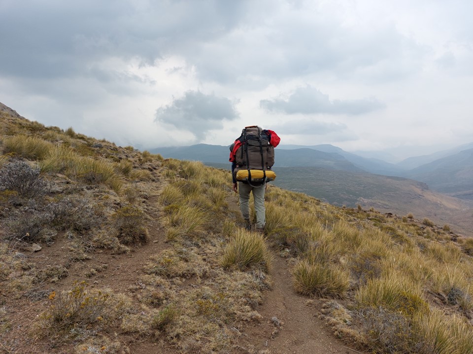
Sunday morning looked far more pleasant than the day before. We began by following a side-ridge to gain access to the main ridge once again.


The first peak for the day would be Macacacaneng – the 7th highest mountain in Southern Africa, and the last of the top 12 I hadn’t done yet. I admittedly didn’t know what it looked like, so I assumed that the peak my GPS was pointing at would be the summit. As we got closer, I realised it was hiding behind the ridge.
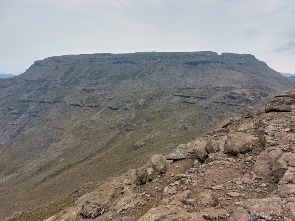
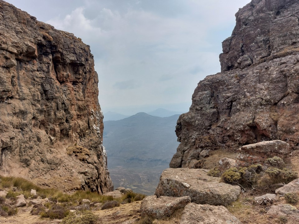
As it turns out, the mighty 3365m Macacacaneng (and no, I didn’t add an extra “ca”) is an enormous flat topped summit with a cleft through the summit on the east side.
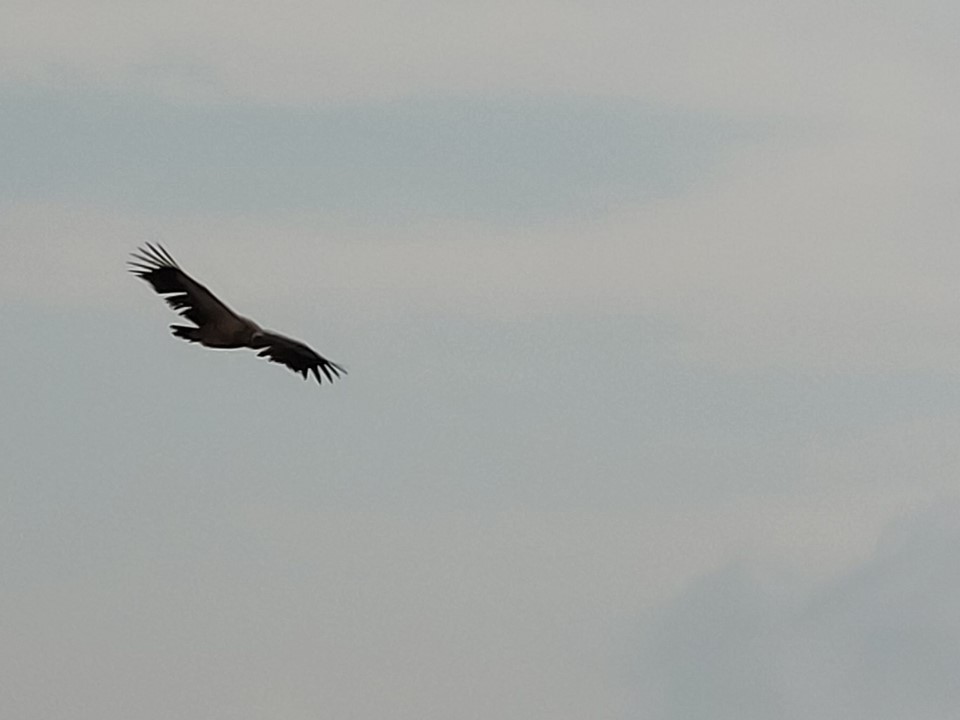
The cleft had the iconic vulture droppings, and as we got higher, we had three vultures circling our heads. They were close enough that I could say with fairly high certainty that they are Cape Vultures. I have seen many vultures in the mountains, and they are unquestionably my favourite birds to see in the wild. I tried to get a photo, but couldn’t get anything decent with a phone.
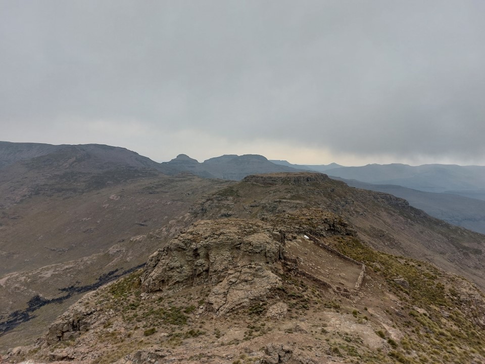
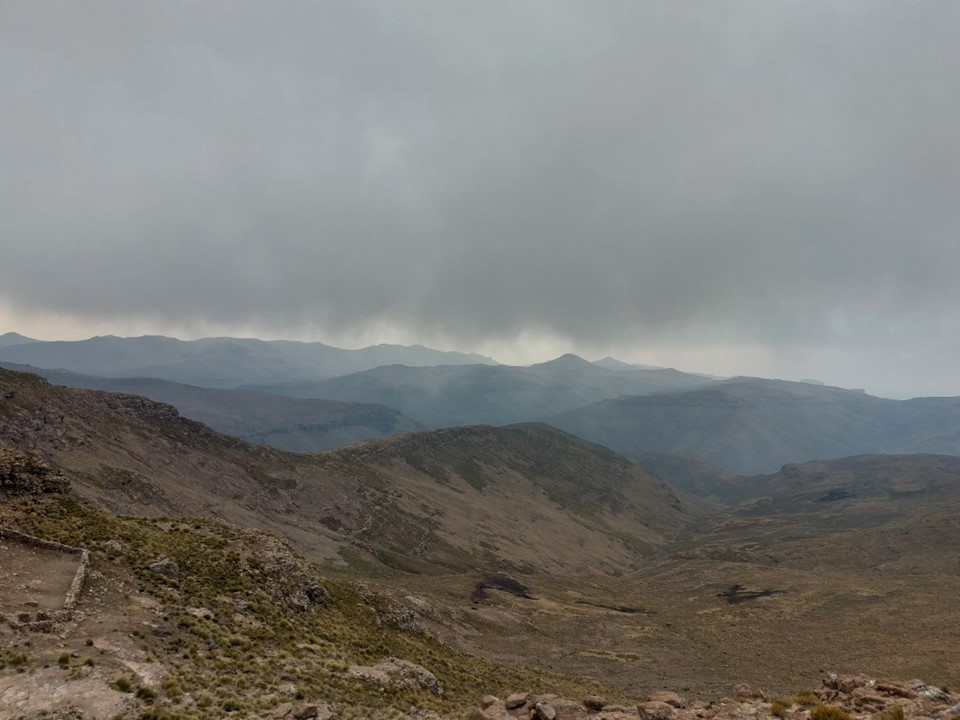
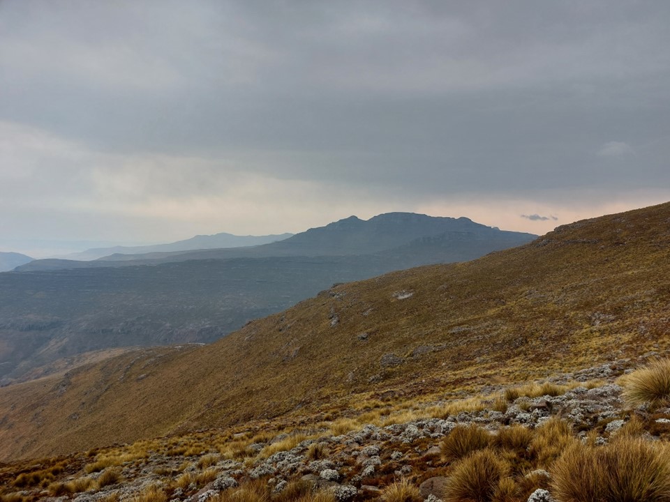
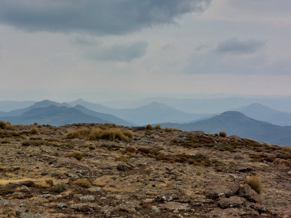
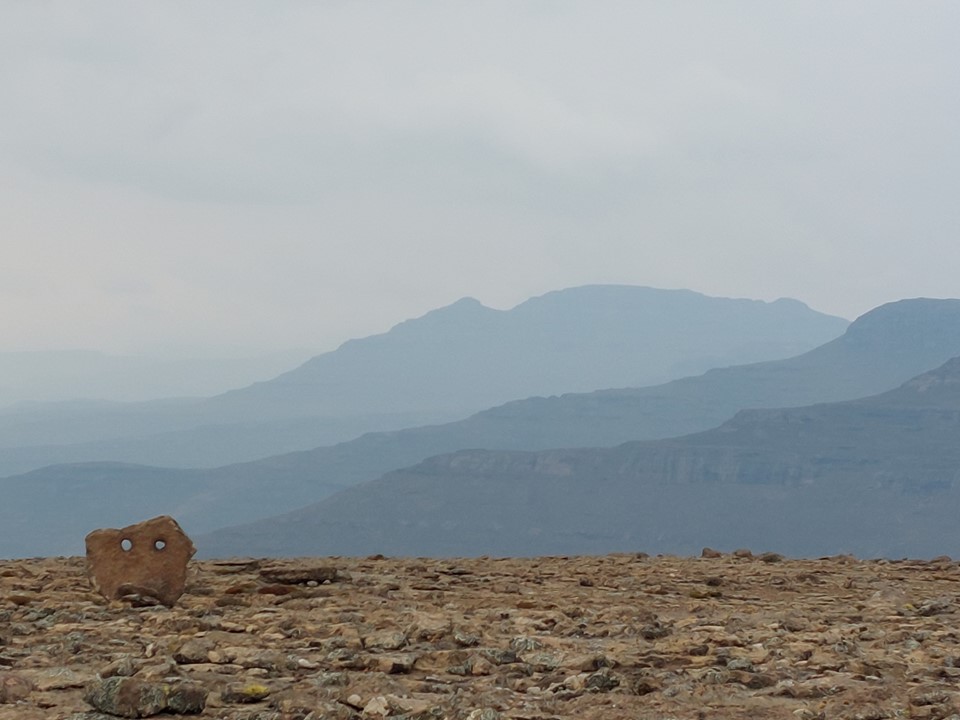
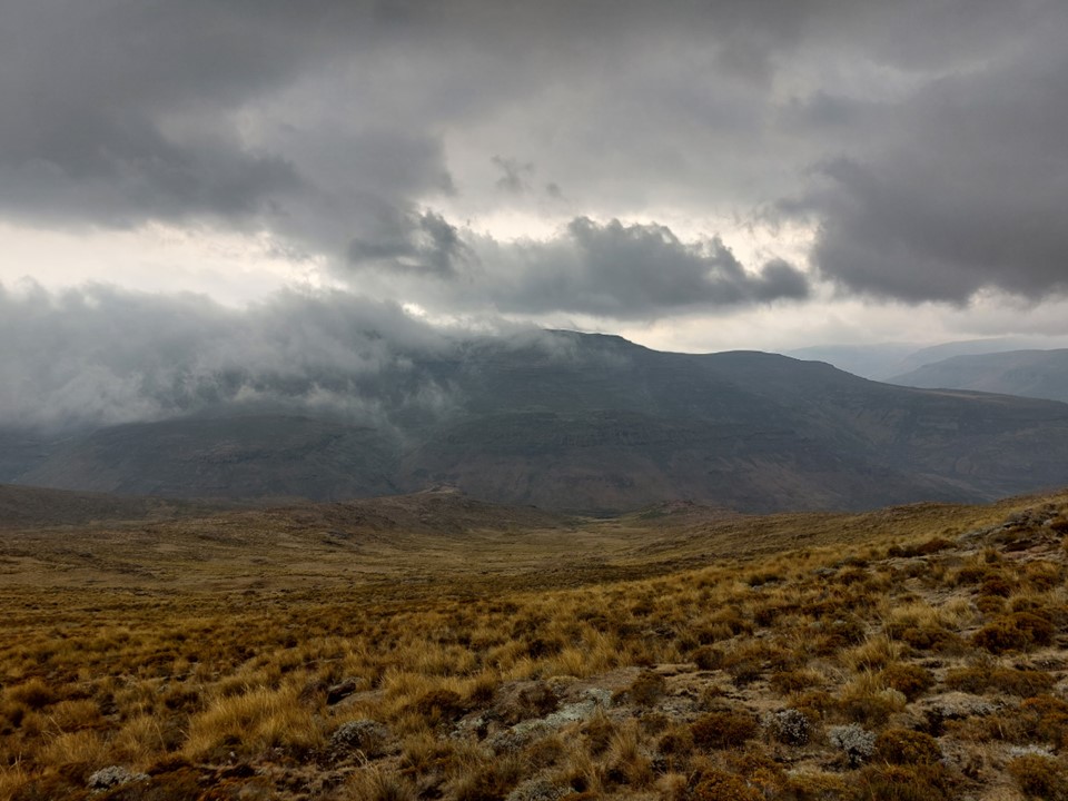
The view was surprisingly good, with the ridges in the distance all a different shade of blue.


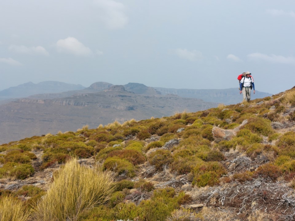
We continued along, finding a trail in places, but not nearly as clear as the one the day before. It wasn’t surprising that there was less activity the higher one went up the valley – as there would be less water and thus less reason for shepherds to travel much higher. None of these trails are from hikers. It also isn’t on any notable trade route, so the existence of usable trail was a bonus. Thamathu Village is the nearest town in this area and is connected to Thaba Tseka by dirt road.


After a lot of traversing, we finally reached the block of mountain that is Tsepeng, and thus started to climb the ridge once again. It was misty, but to get the three highest mountain summits on the ridge, we needed to get the ridge high-point, Tsepeng. We hadn’t been on the Leqooa River since the first day, and were still well above the river at this point.

About 100m below the summit we found a surprisingly good cave. We dropped our packs and made our way up to the summit.
From Tsepeng, we made our way down to our planned camping spot near the top of Tsepeng Pass. I had hoped to drop down the pass on Sunday as the weather forecast for Sunday night was really bad, but we had taken too long to finish the ridge, and thus that was no longer an option. The ridge had been much harder than expected.
It began to rain as we found a suitable spot. What followed was one of the least pleasant nights I’ve had in the mountains. We clocked 19km with 1.1km elevation gain for the day.
I bought a Vengo one person tent last year, and have been skeptical as to whether or not it would survive a Drakensberg storm. What followed was a clear demonstration that my concerns were in fact valid. My Cool Mountain tent would have easily weathered the storm, but my smaller tent had a few drips coming in, and even unzipped itself at one point, resulting in a lot of extra water getting in before I realised what had happened and managed to get it closed again. The walls flapping in the wind didn’t help either.
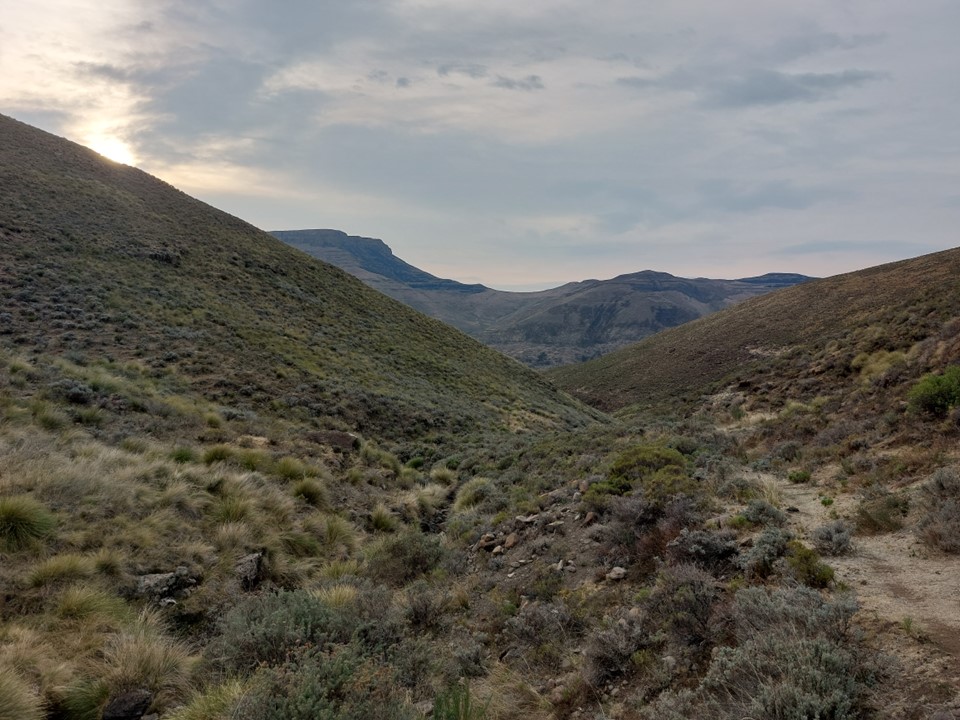
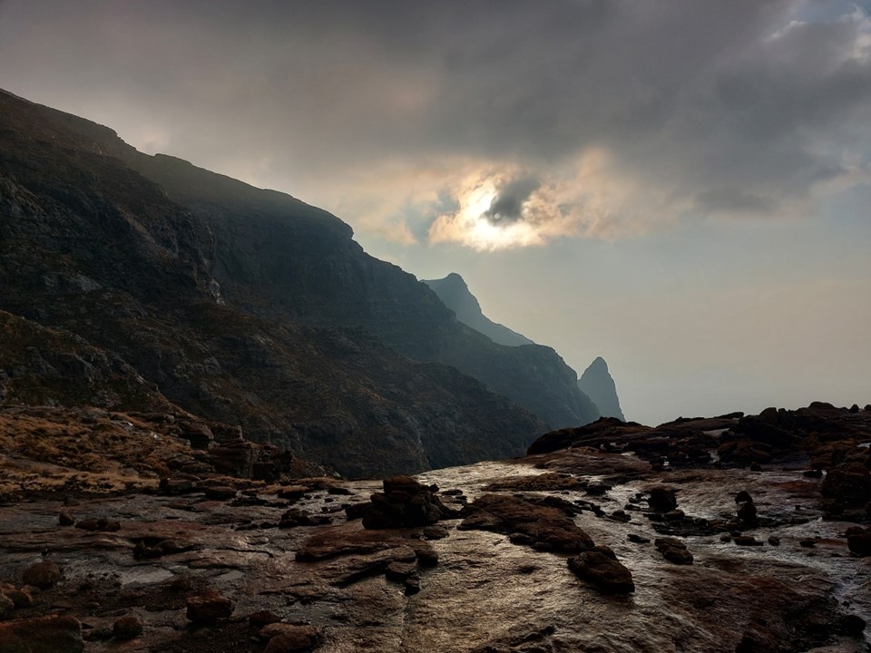
We delayed our start on Monday morning till conditions calmed a bit. And then when there was a gap from the rain, we pushed for the top of Tsepeng Pass with an objective of getting out of the weather as quickly as possible. It’s funny – the photos look so peaceful!

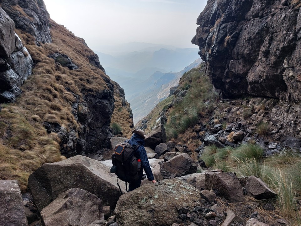
It was very wet at the top of the pass. I had forgotten to save a GPS co-ordinate, but I could see the cave I had used at the top of the pass many years ago and knew I was in the right place. It is also a fairly obvious gully in clear conditions.
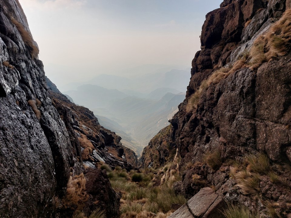
We started down it and I immediately knew it was going to be much harder than I remembered it being. Everything was wet and slippery, and the gully was a lot more loose than I recalled.
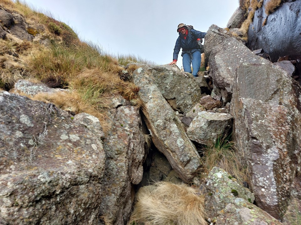
We soon hit the first waterfall bypass. Michael and I picked different lines, although my idea of dropping in a bit further down didn’t work out and we both joined the gully at the same spot.


The second bypass was considerably longer, but much easier and felt a lot less sketchy than the first. I had remembered this pass as a much easier and simpler route – but we got down safely, which is what really matters.
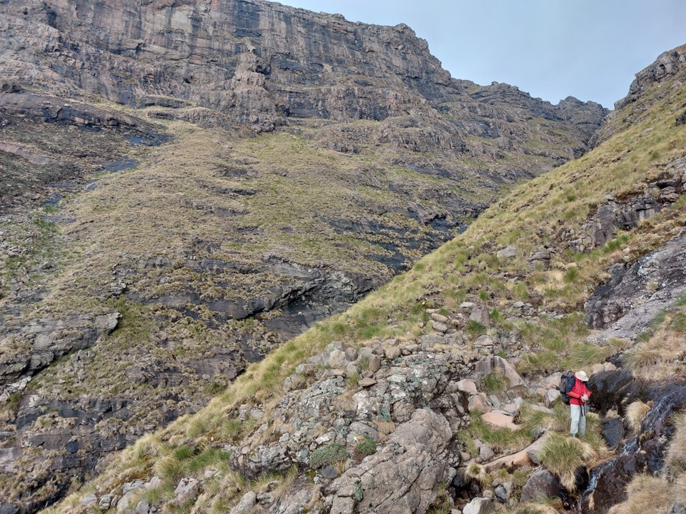

We soon rejoined the pass, with a goal of leaving the gully somewhere below 2600m to traverse to the valley below Bollard Pass. It was my third time finding this line, and I think I found the best line from Tsepeng Pass to the valley behind Sleeping Beauty Cave on this occasion.

Once we were in the valley behind Sleeping Beauty Cave, we knew the rest would be comparatively trivial.
Tony had driven down with me and had agreed to move my car to Garden Castle while we were hiking – this saved us the extra walk along the Giants Cup Trail back to Bushman’s Nek. The last day was approximately 13km with around 500m ascent, giving us approximately 75km with 4.3km elevation gain for the weekend – not a bad weekend out at all, weather aside!
Overall I’m happy to have explored the ridge from Makoaneng to Tsepeng, but I can’t say I’m in a hurry to visit that ridge again, or to explore it further. It was definitely harder than I expected, with the weather being the primary contributor to difficulty. The downside to a route like this as opposed to a more traditional traverse hike is that there’s no water and the variability of scenery is nowhere near as good. But an interesting and valuable experience nonetheless.
