One of my minor ongoing projects is to climb all nine province high points in South Africa. It isn’t something I have pursued with much urgency, it arguably started when I stood on top of Mafadi – the highest point in South Africa – more than a decade ago. Another of my ongoing projects is to summit all 24 mountains in South Africa with at least 1000m topographic prominence. There are two peaks that appear on both lists – Seweweekspoort in the Western Cape and Iron Crown in Limpopo.
I summited Seweweekspoort a few years ago, but have generally put off Iron Crown. I always knew I could leave home early on a Saturday morning, summit the peak and be home for supper. It’s not known for being particularly difficult. The problem was that I could not justify nine hours of driving for a hike that’s only around 10km and could be done in a few hours.
When I heard that the small town of Haenertsburg hosts an annual trail run up the mountain in support of the local Rotary Club, I decided that this would be a logical way to finally bag the peak.
I left work a bit early on Friday and drove up to Haenertsburg. Most of the drive is on the N1, and Friday afternoon toll queues were very slow. I hit Polokwane around 5PM traffic, which also wasn’t ideal. The first half of the drive wasn’t very interesting – with very flat terrain – but the final stretch was far more scenic.
After a scenic tour of the town trying to figure out where I was going, I collected my race number and made my way to my accommodation for the night. I got a burger and chips from a nearby restaurant before calling it a night.
I was up early the next morning. It was chilly, but not specifically cold. I was not convinced that a R150 trail race in a small town would be well supported, so I decided to carry 1.5 litres of water in my small day-pack. Since I ran a 22km trail race in 2019 where there was no water after around a third of the distance in very hot weather, I am always wary of entering trail races without a decent supply of water – even if they are advertised to have water. As it turns out, this route had more than enough water tables, and I really didn’t need to carry a pack with me.
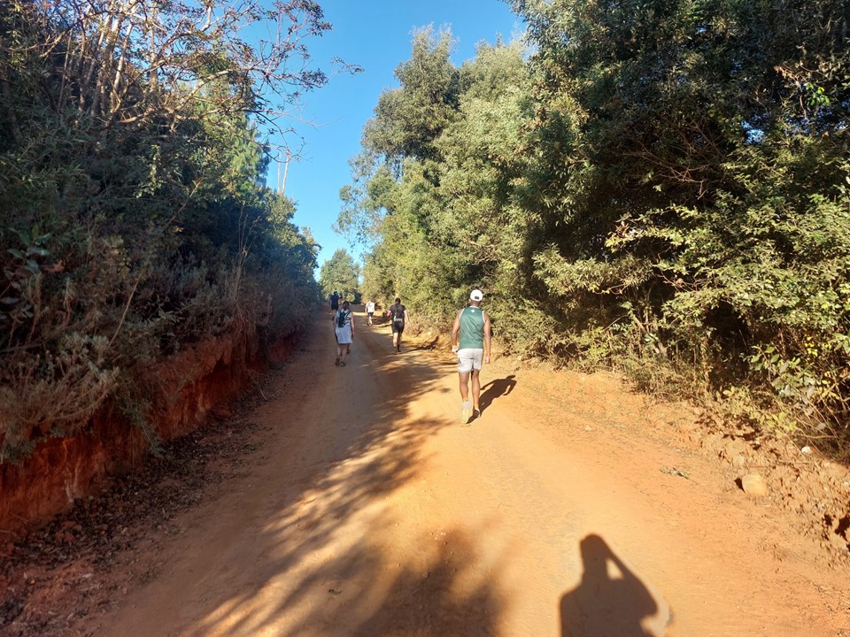
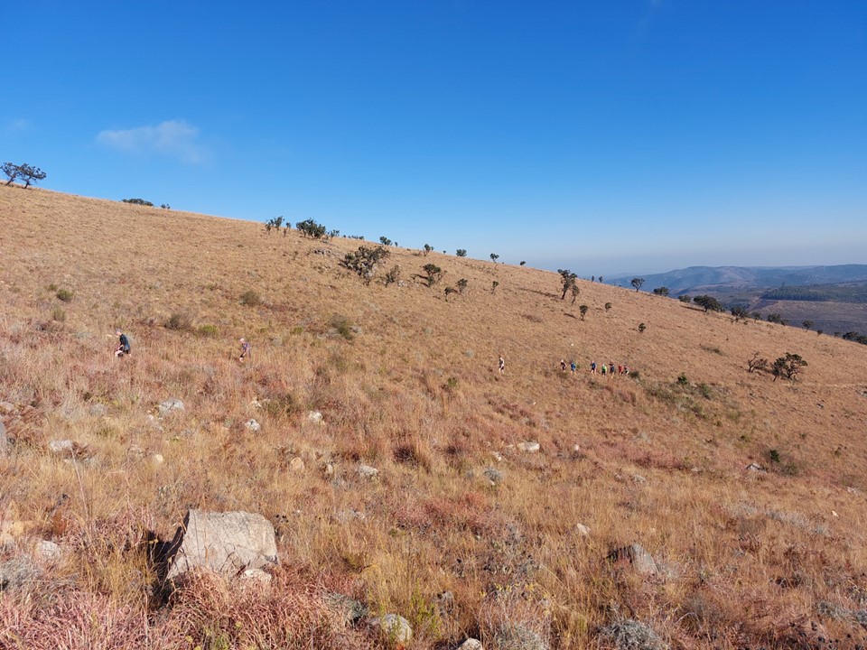
The race started around 7:30, with likely around 150 participants. As is common for mountain trail races, everyone started off at a reasonably fast run. I knew better – the race started on an incline, and I knew I needed my energy for later. There was a decent turnout of walkers, so I didn’t end up right at the back as I normally would, but I was reasonably close to the back of the field.
The route undulates a lot – you are generally going up or down, but rarely flat. Less than 10% of the race is on flat ground.
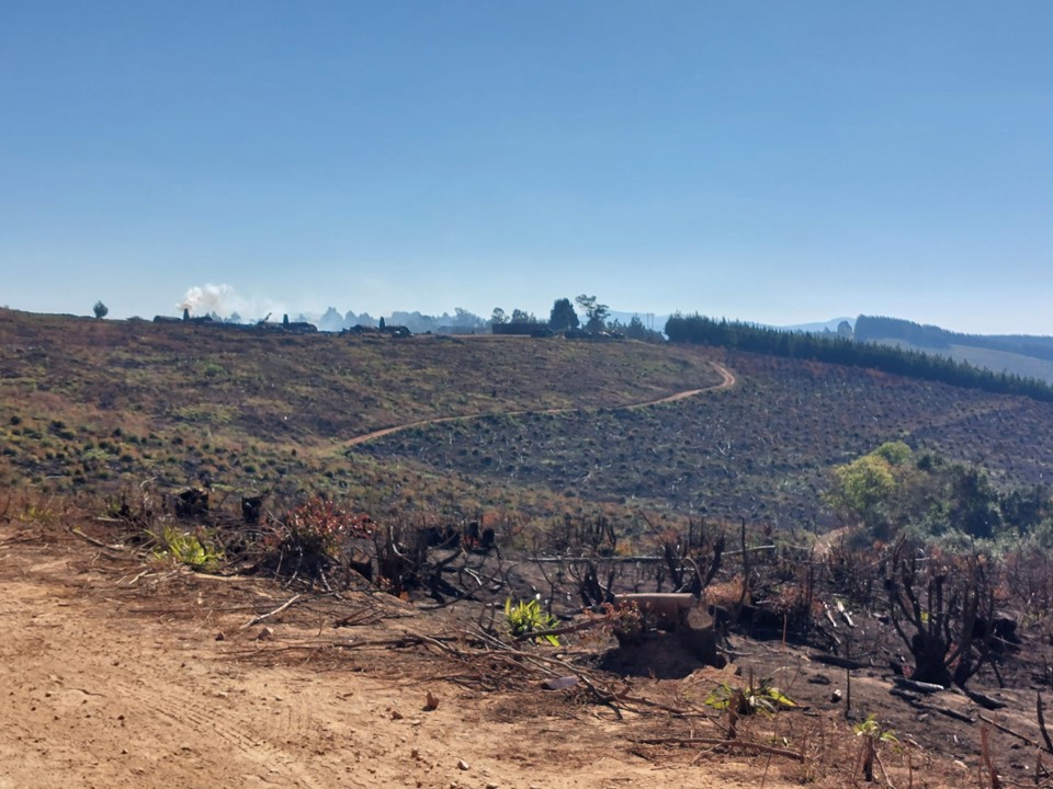
The early phases pass through what would normally be a plantation. It has recently been harvested, so the route was more sunny than I imagine it generally is. It was a pleasant day, so the sun was not a problem.
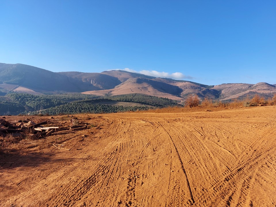
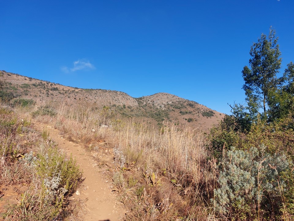
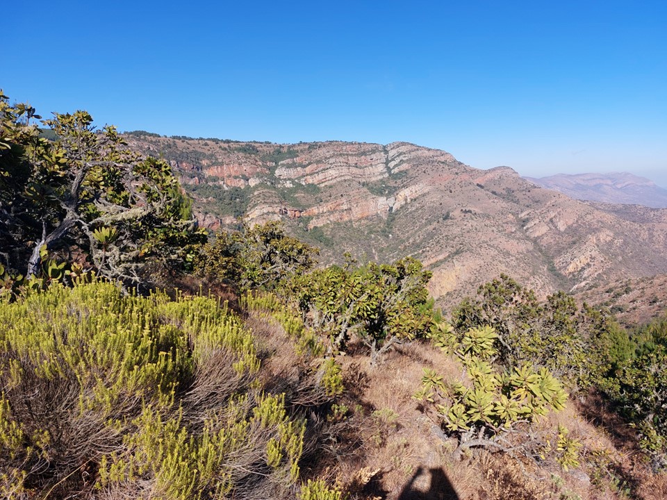
As we rounded a corner, I got my first view of the peak. It felt no more impressive than Worlds View outside Pietermaritzburg. While prominence is often a good predictor of dramatic scenery, it isn’t always the case. I had expected this, and in part had delayed hiking this peak because of it. The element of a race at least gave me a valid reason to put in the effort on this one.
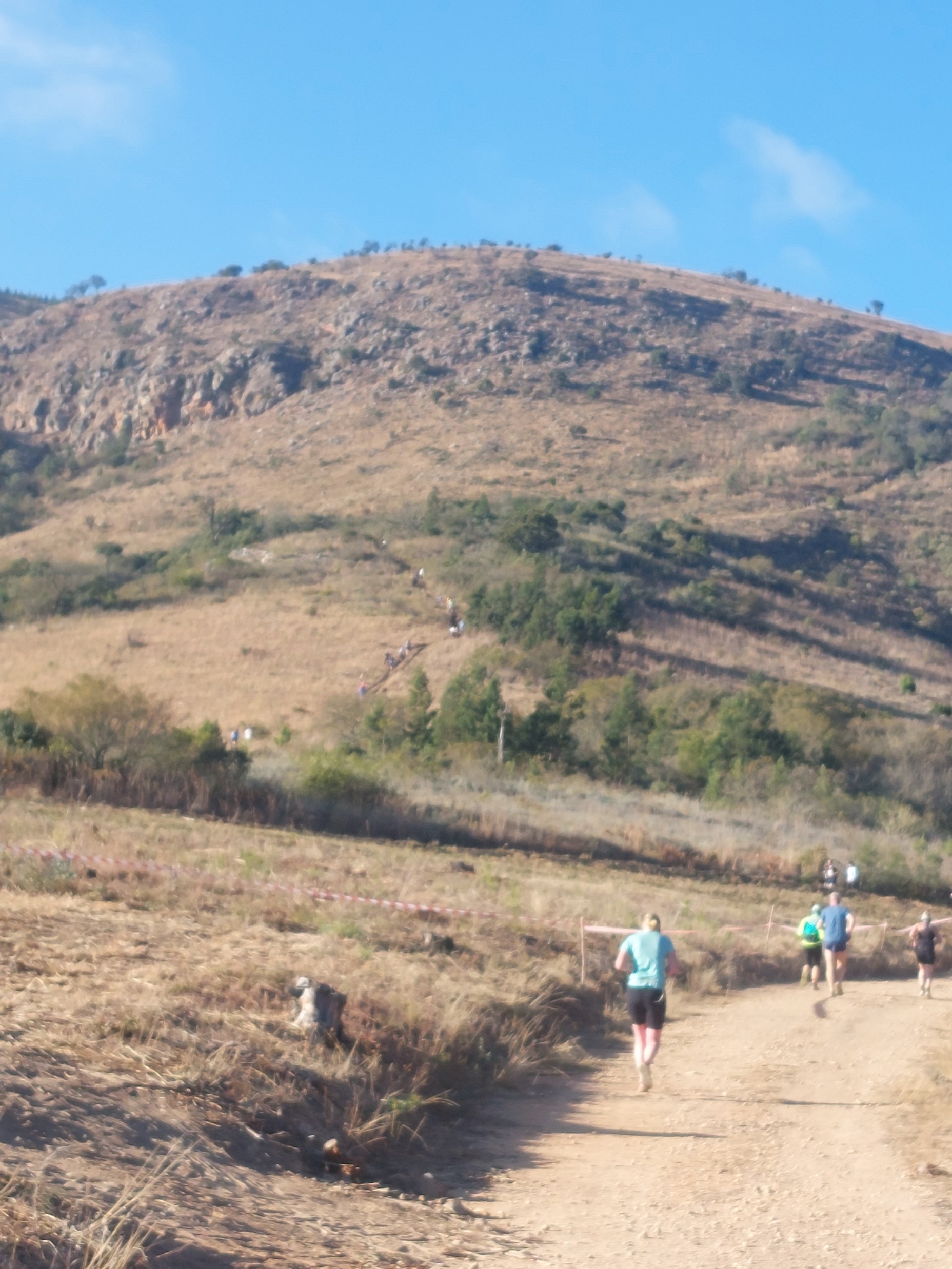
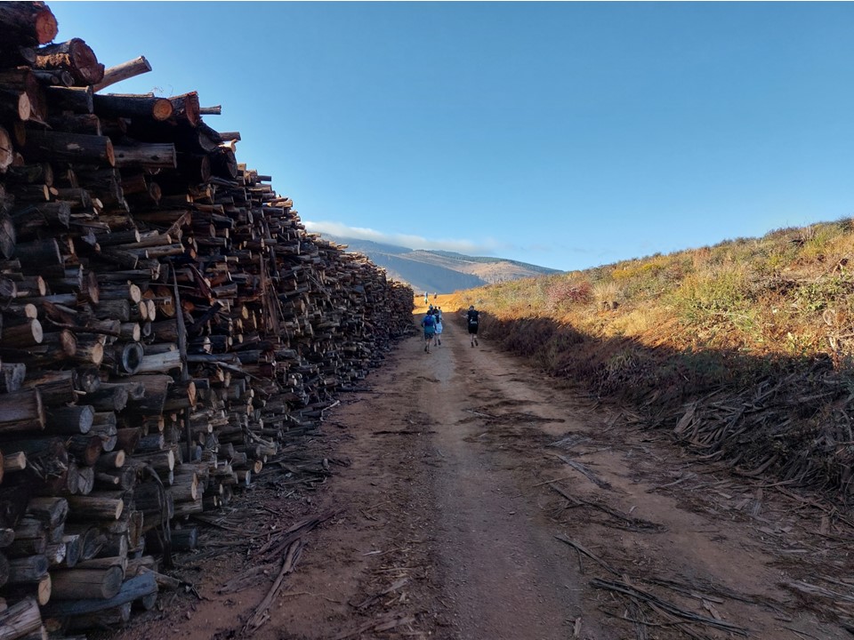
After winding about on forestry roads, the crux of the route came into view – a steep zig-zag to access the summit ridge. The bottom of this is where one would normally park to start the hike. I could see the line of people snaking up the hill.
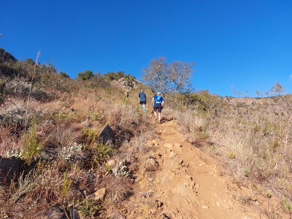
I passed a number of people on the steeper ground. It was a bit loose, but nothing difficult. If I had been hiking and not looking at my pace, I would have considered it fairly straightforward. But alas watch pressure makes a big difference!
The slope eventually relents and flattens out a bit. It eventually rejoins the forestry roads at a spot where a water table was set up.

Credit to the organisers of this race – for a R150 entrance fee there were more than enough water tables, all had coke and some sweats or snack food, and the route was well marked. I’ve seen less on road races with higher entrance fees.

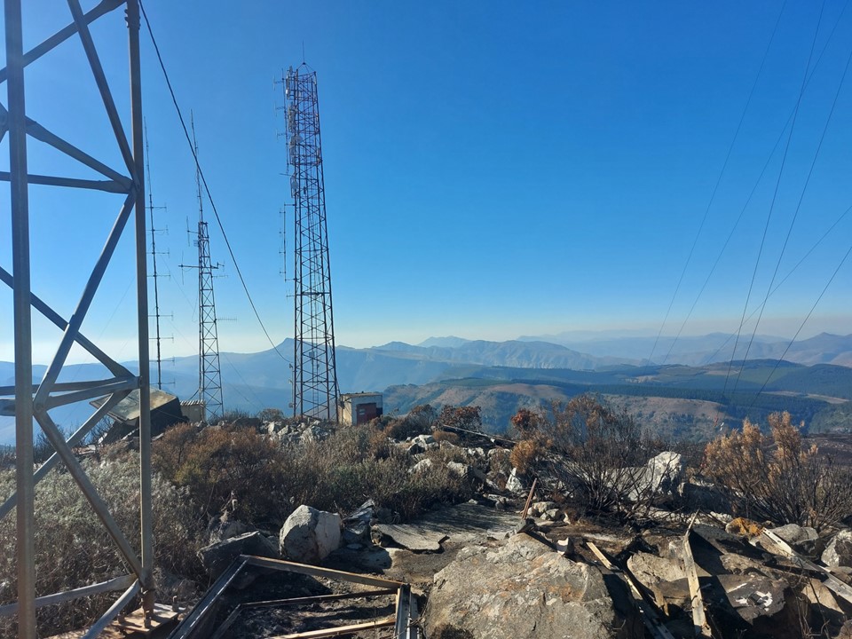
From there the road zig-zags a bit before the final trail section to the summit. It was a bit windy on top, but nothing serious. There was a water table on the summit with some sherry – I passed on the sherry, but happily took a coke for the energy to get back down.


I had been wanting to test my chest strap mount for my GoPro, so I put it on for the descent. As Murphy would have it, within a minute I slid on some loose ground. On the bright side, it was a very good test for the stabilisation on the camera!

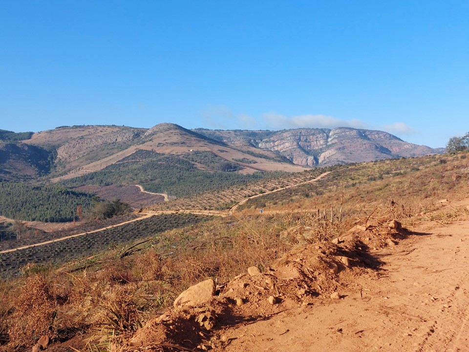
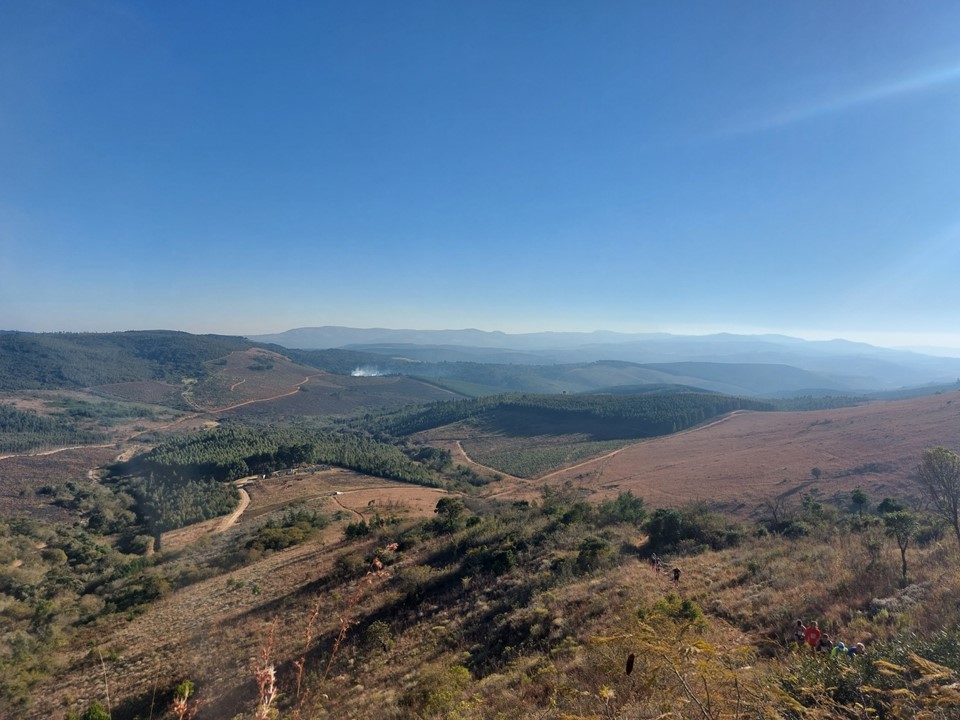
The route down took a different line to the route up, with a detour over the top of the ridge, providing the most interesting views of the race.
I didn’t get many photos on the way down as I was trying to run as much as possible without tripping or getting injured!
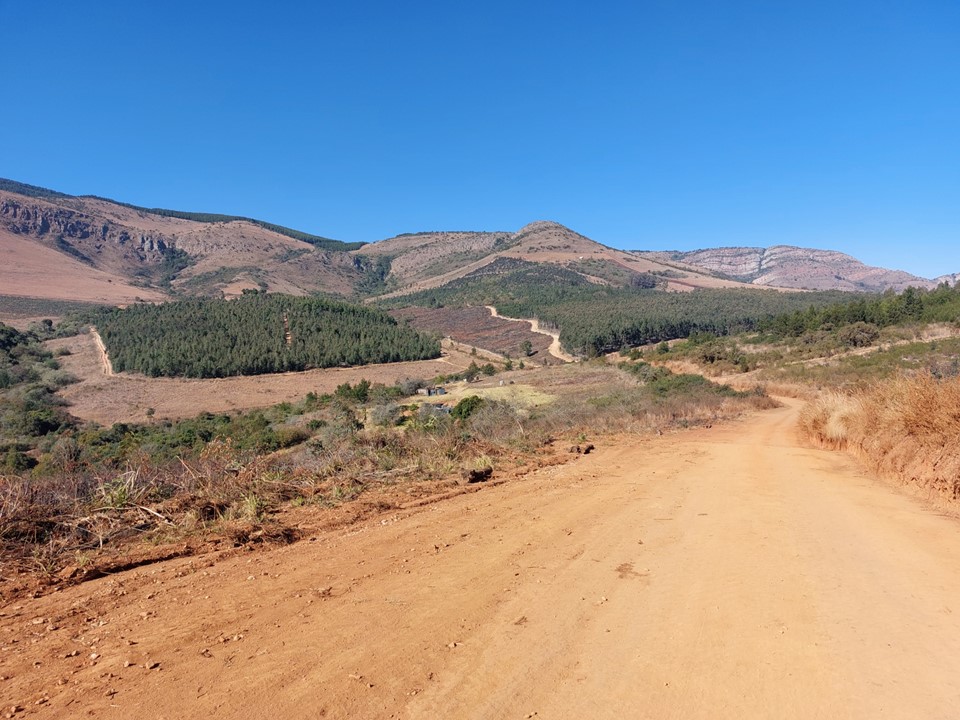
The route soon deposited us on the forestry road we had run on earlier in the day. I wasn’t able to run as much as I had hoped, this is a very difficult route.

The final section was completely different to the start, with some lovely running through the local forest. The route naturally ended with a big downhill, and I finished in 3h22. The route was 22km with 850m elevation gain and loss – so while its comfortably my slowest half marathon for the year, I at least have a valid reason for it!
Overall a great race, I highly recommend it for those who don’t have to drive an excessive distance to get there.
