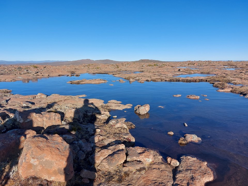
At 3451m, Mafadi is the highest point in South Africa. It is a large flat summit with some small rock pools on top. The origin of the name is uncertain, as the people who live in the area call it “Ntheledi” – which is Sotho for “makes me slip”, referencing the summit pools. Statistically the summit is only interesting due to its status as a country high point. It is a subsidiary summit of Makheka (3462m) in Lesotho, with insufficient prominence relative to height to qualify as a mountain summit by most definitions. The only other country high point above 1500m with less than 7% prominence relative to height is the second summit of Ojos Del Salado on the Argentina/Chile border (Chile’s highest point) – which does place Mafadi in interesting company!
When I moved to Midvaal in 2020, I very quickly got roped into the Meyerton Athletics Club, a local running club. With some hikers in the club, I had been talking about putting together a hike up Mafadi for some time, and on the long weekend in May finally managed to get the hike together.
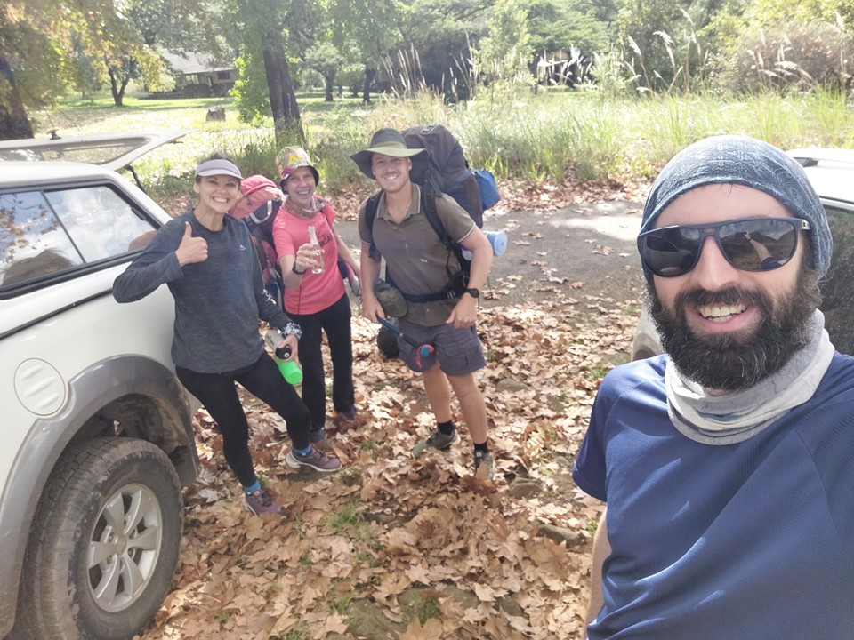
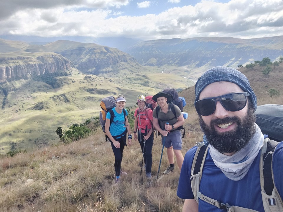
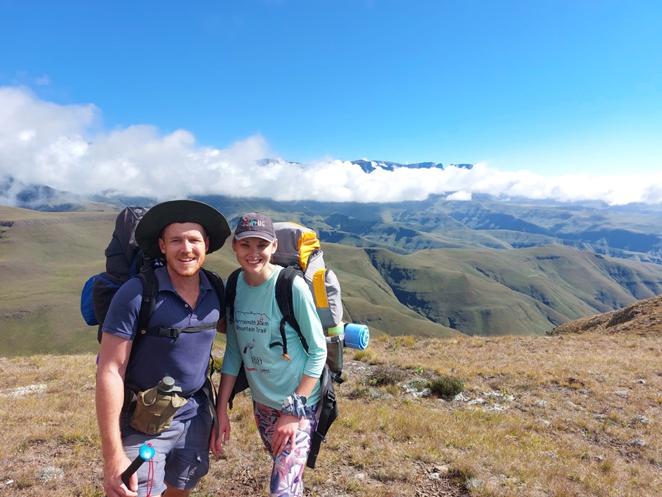
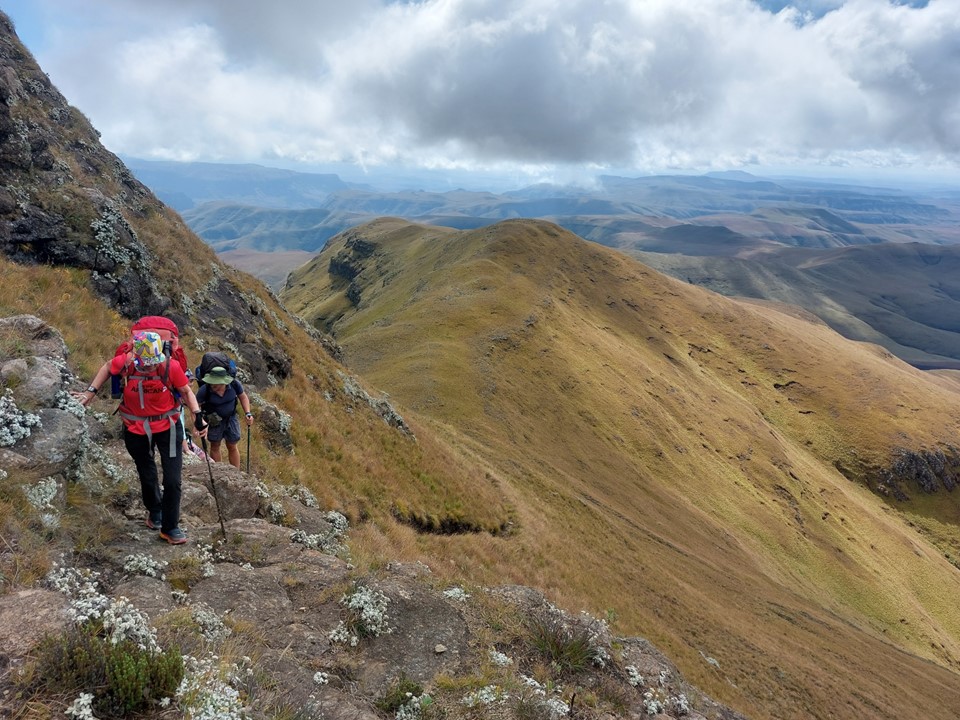
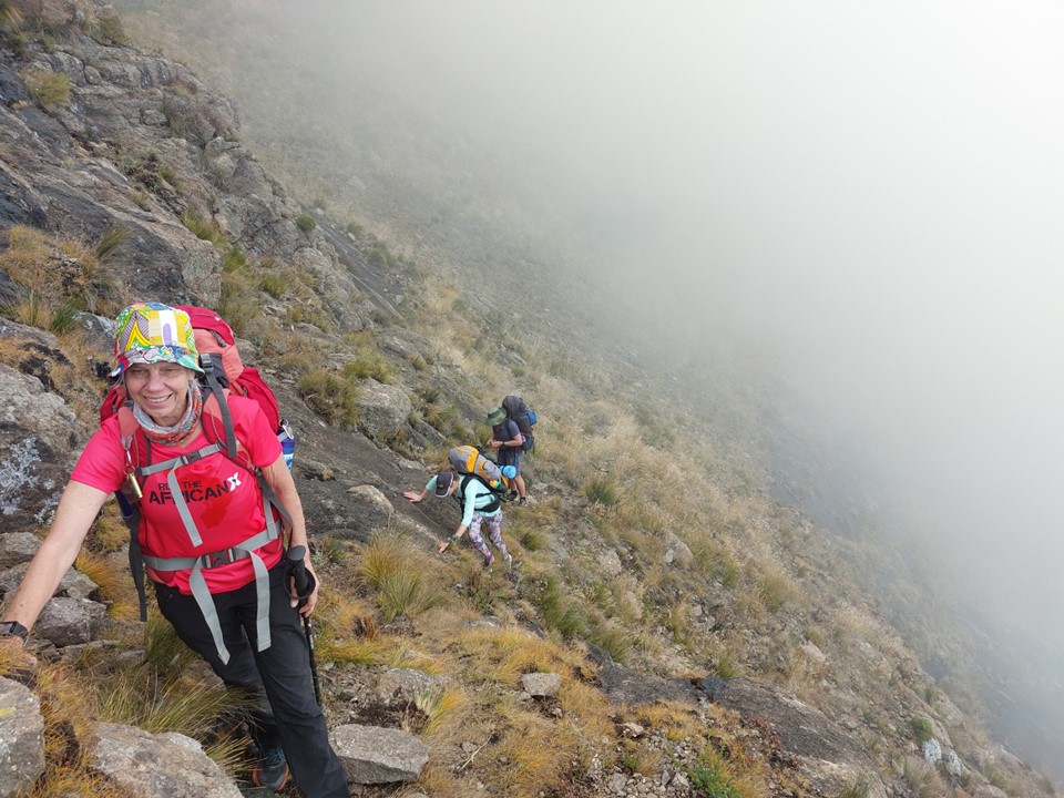
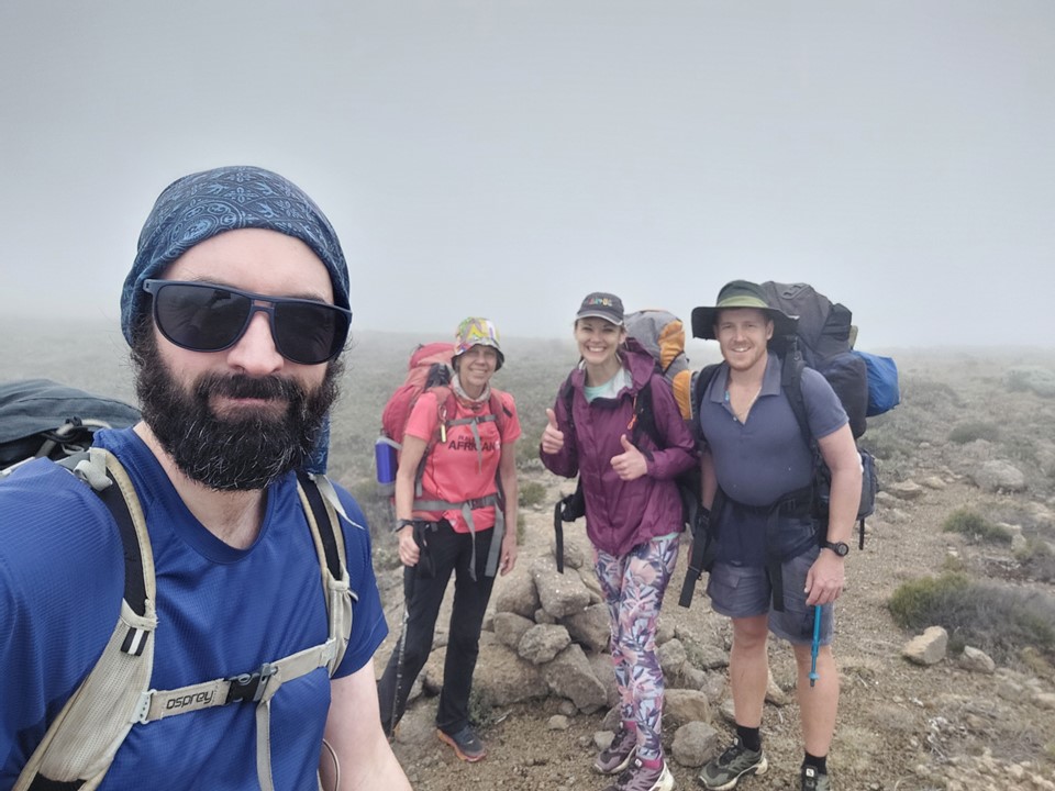
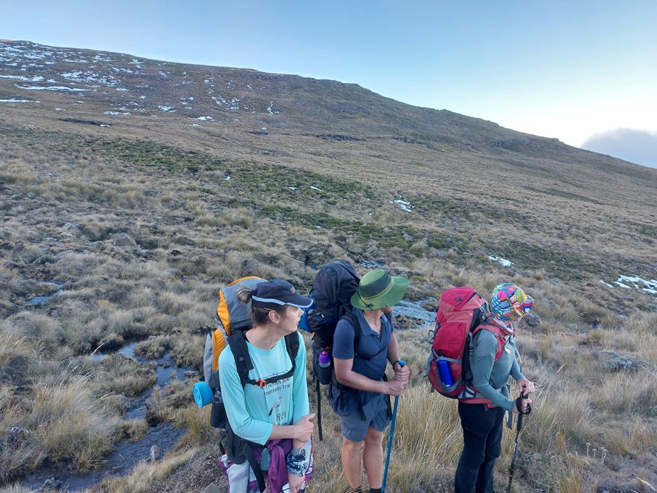
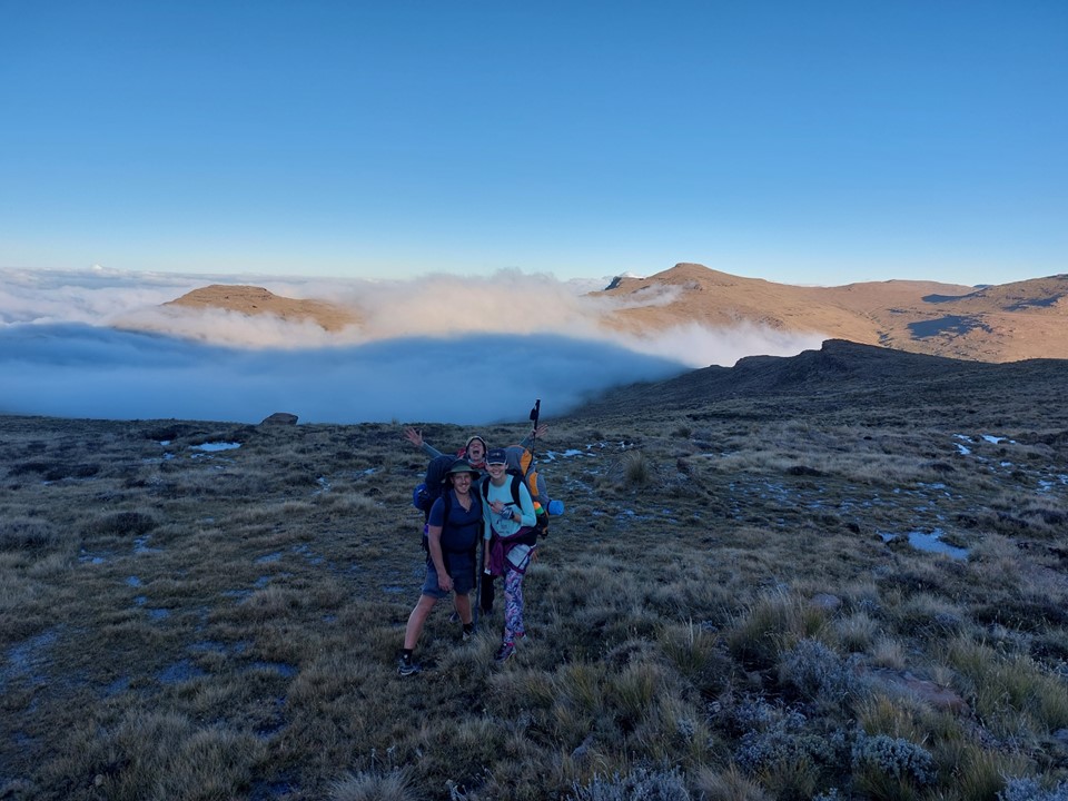
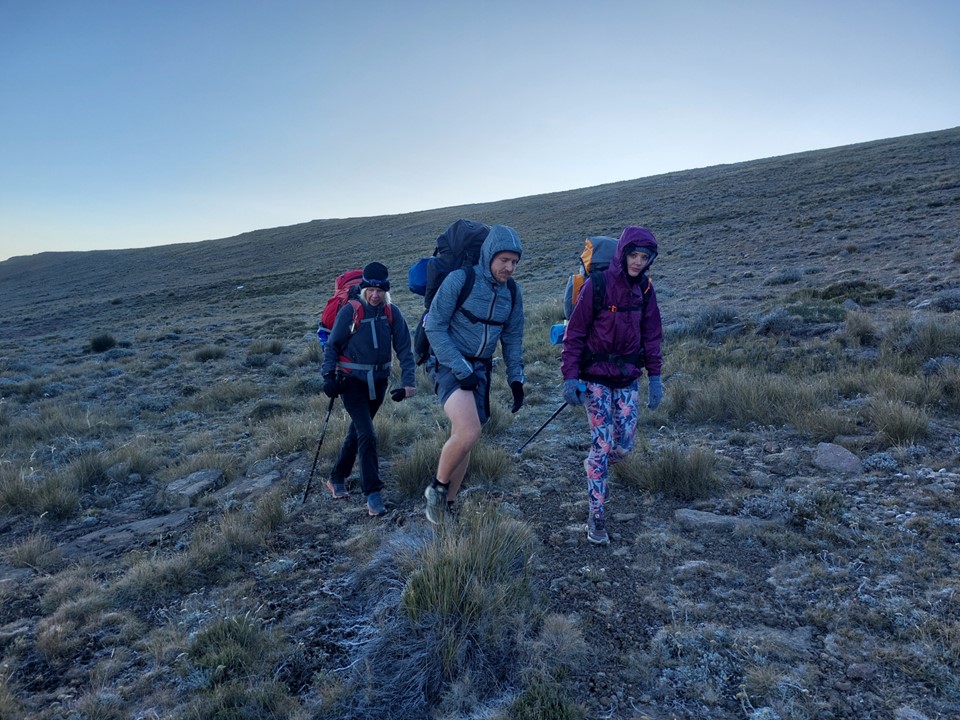
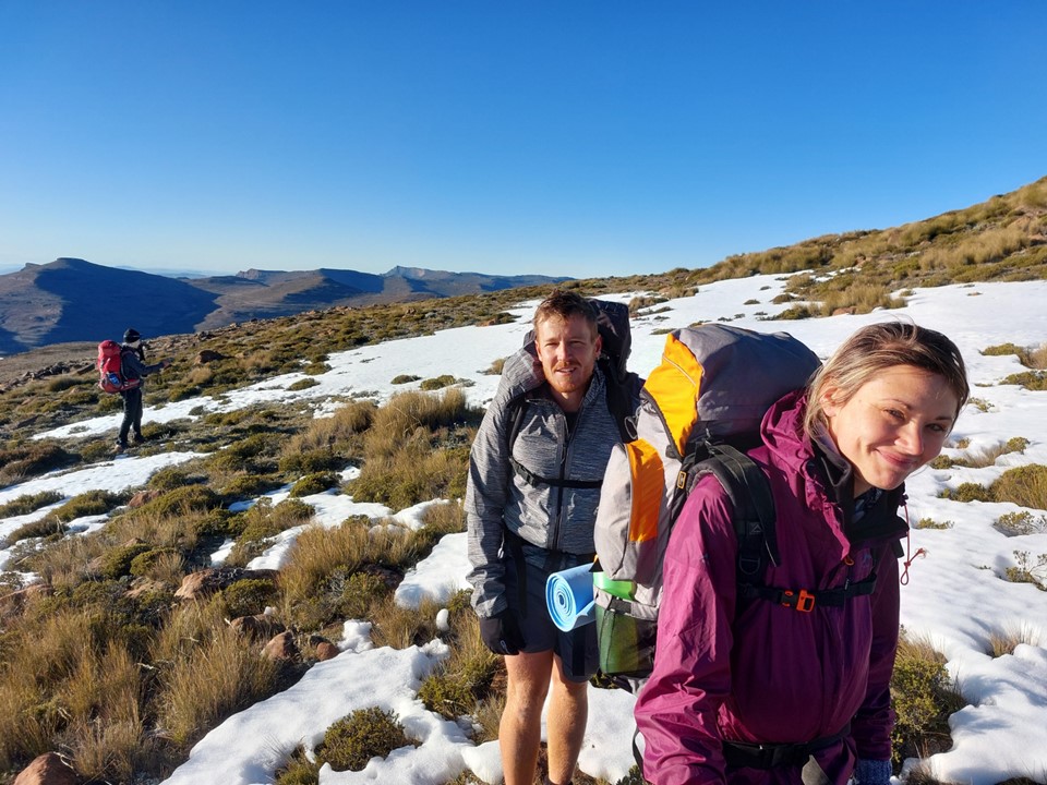
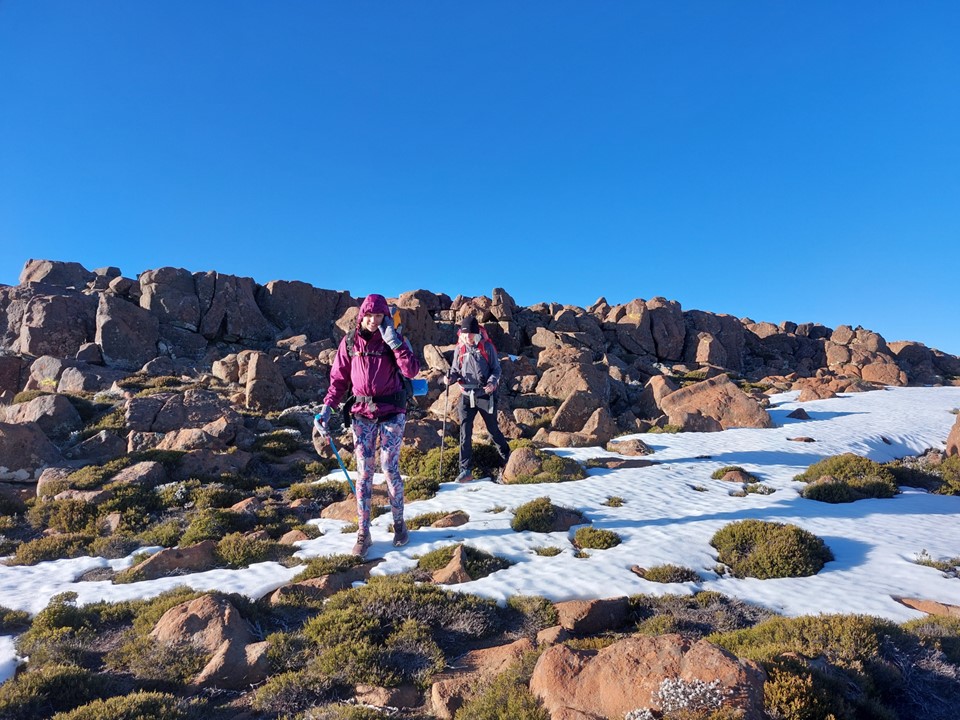
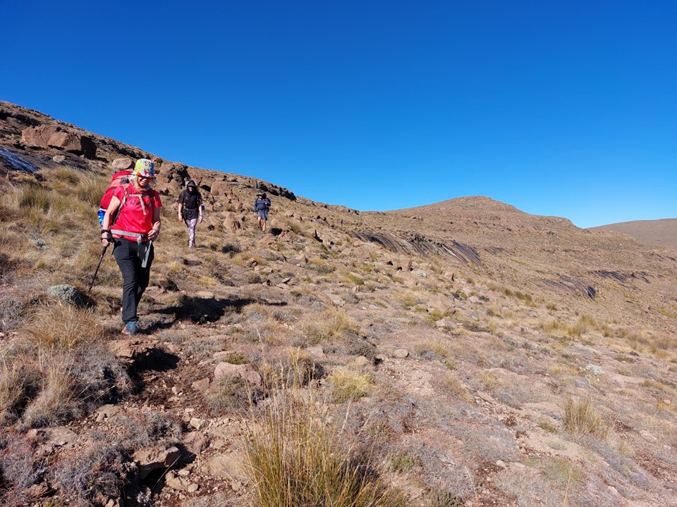
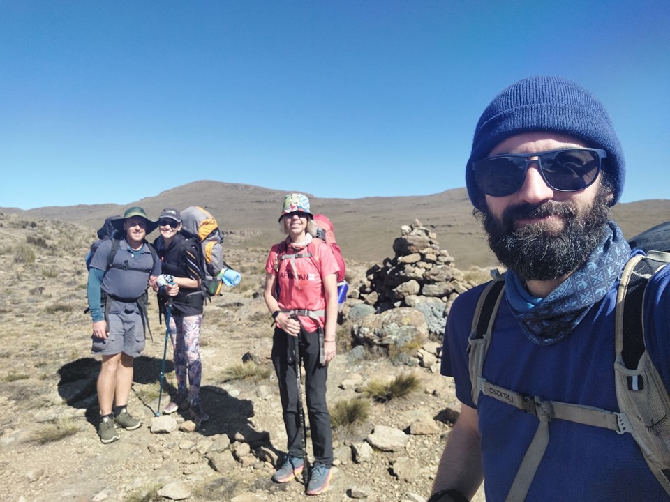
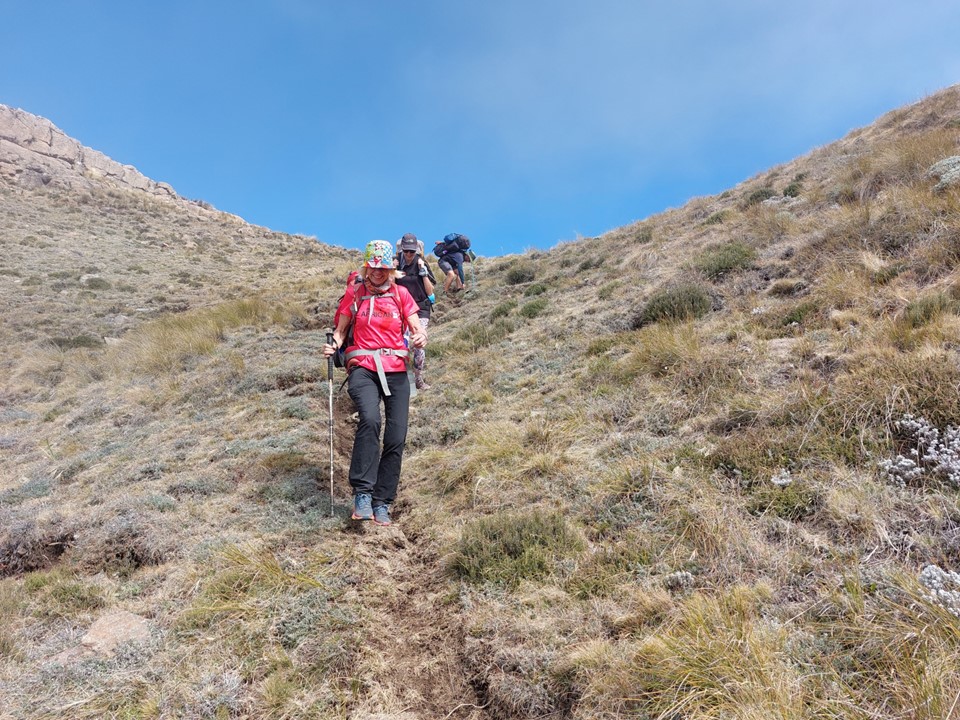
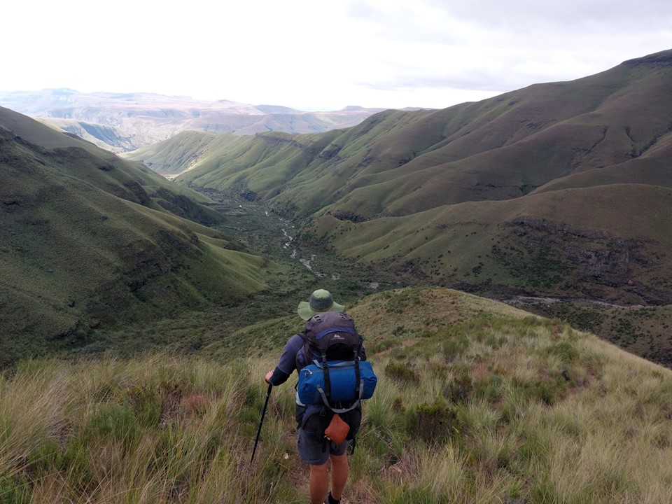
Liezl, Verity and Tim joined me for a three day attempt at the summit. The hike started with a bit of champagne for Verity’s birthday, before heading up Boundary Ridge towards Centenary Hut.

Boundary Ridge isn’t the easiest or shortest way to the hut, but it is the more scenic route. It would also give me a better idea of the team’s mountain fitness on steep ground and tell me how everyone felt with the exposure, which would be handy in picking a pass to go up. I knew they were all running fit – but mountain fit is something entirely different.
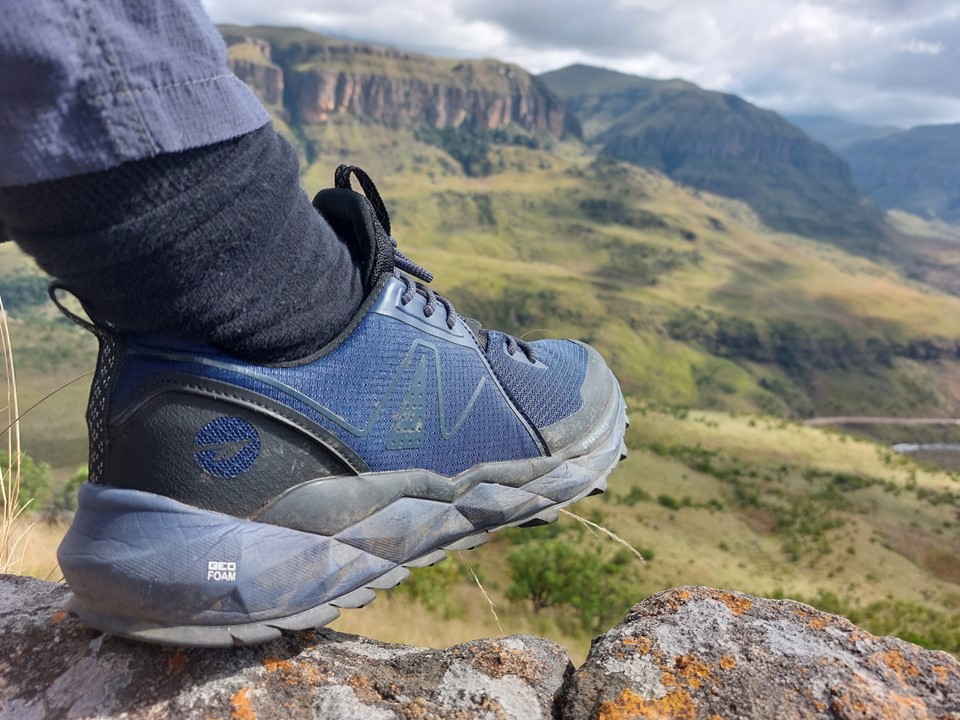
Hi-Tec sent me a pair of their new Geo-Trail Pro shoes to test out – so the rockier terrain to ascend would also give me a better feel for the shoes.
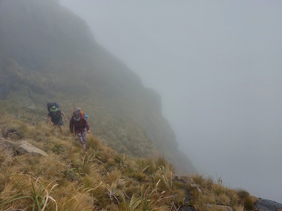
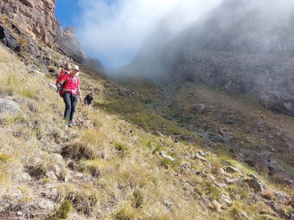
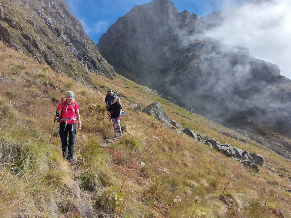
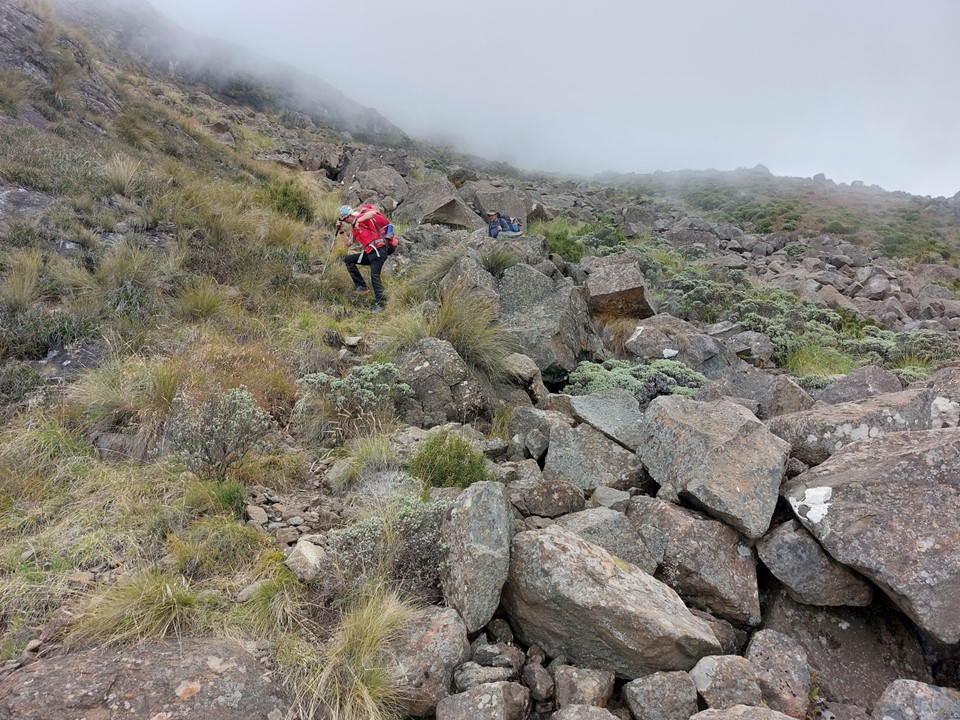
We made good progress up the ridge, briefly losing the trail at one point. I can’t blame anyone else for that one, I prefer to think of it as bonus distance!
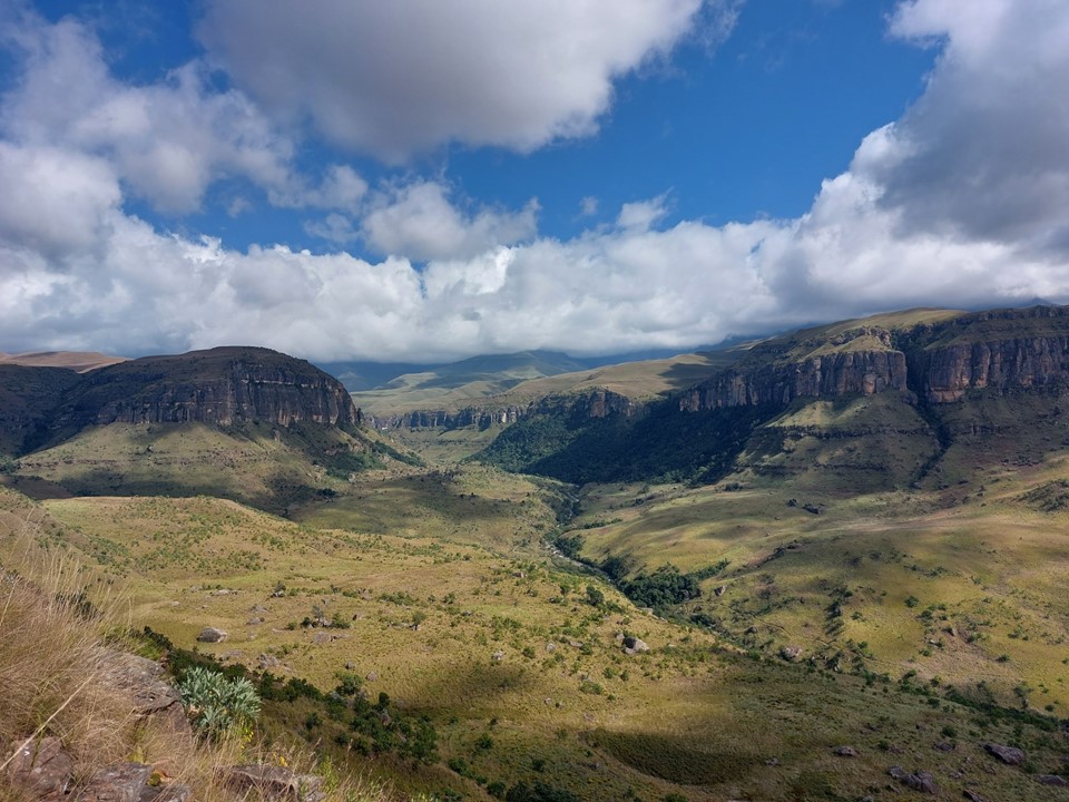
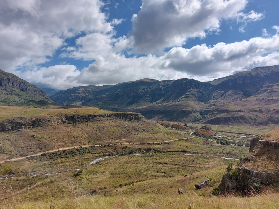
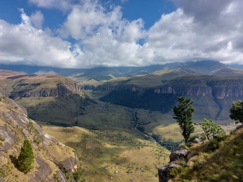
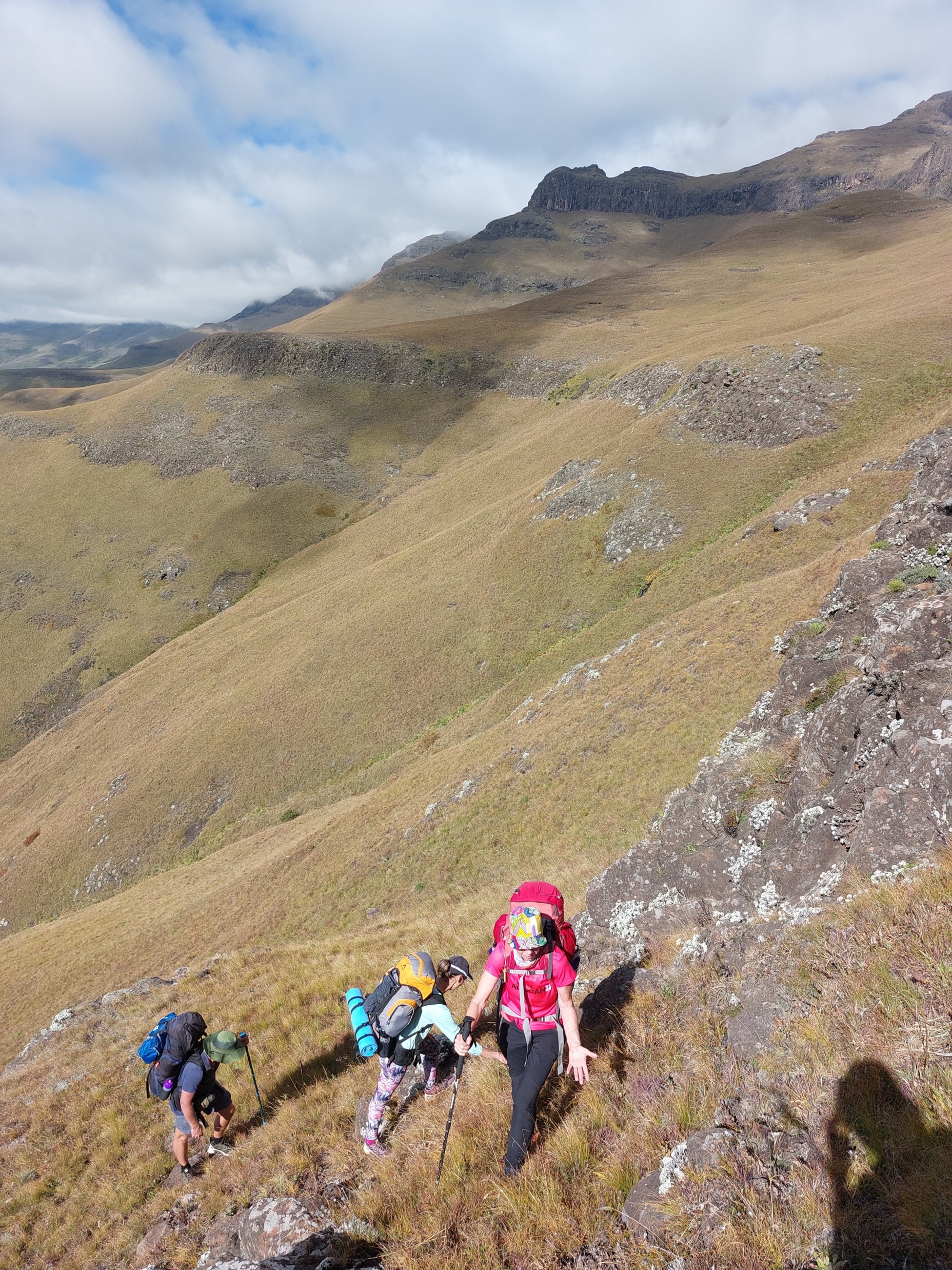
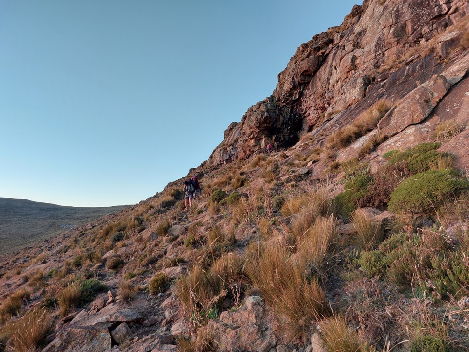
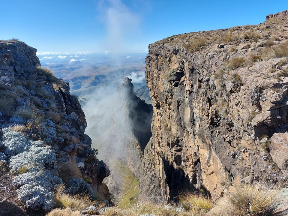
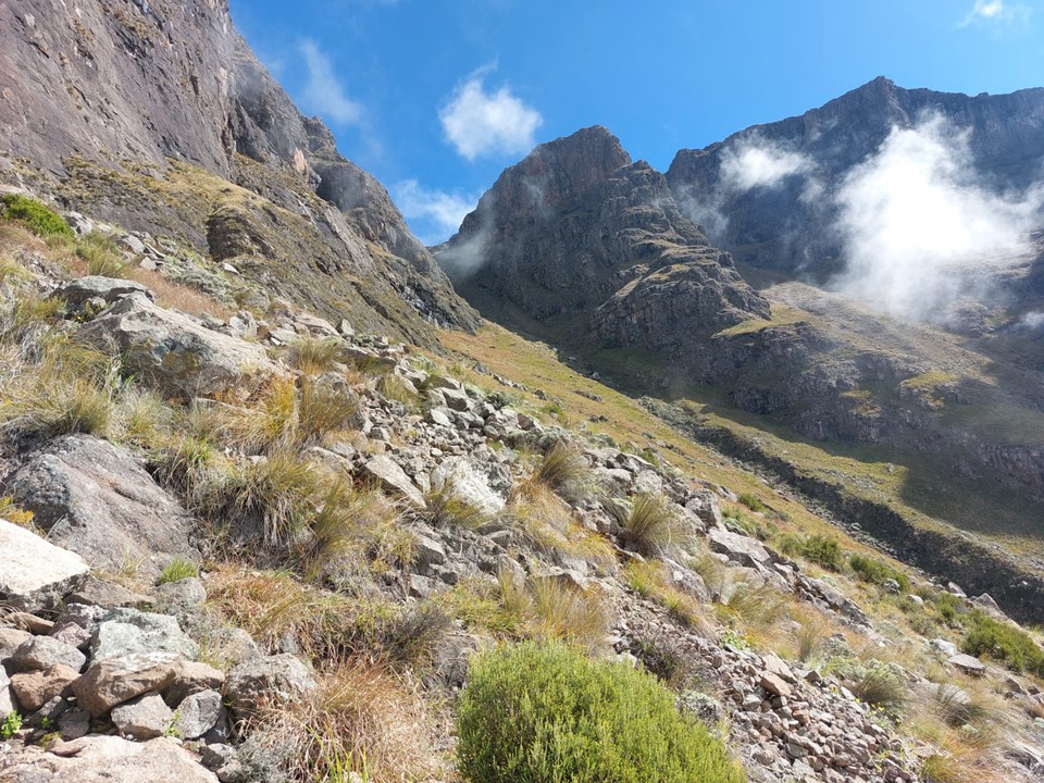
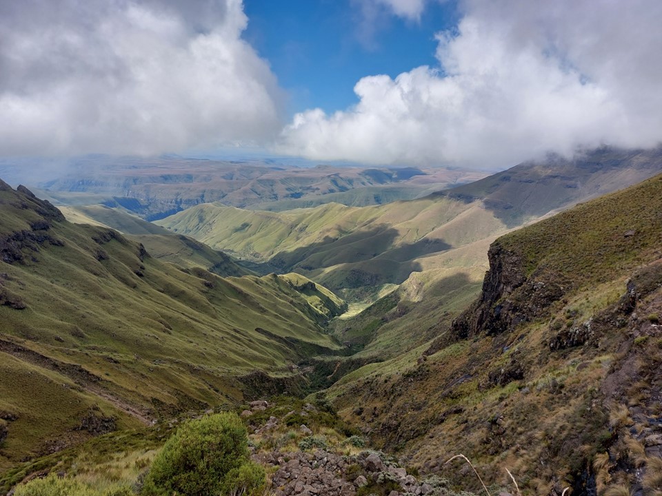
We soon found ourselves going around a corner into the gully that would take us to the top of the ridge. The views on this route are really good for so early on a trail. In many ways it is similar to Tryme Hill at Didima.
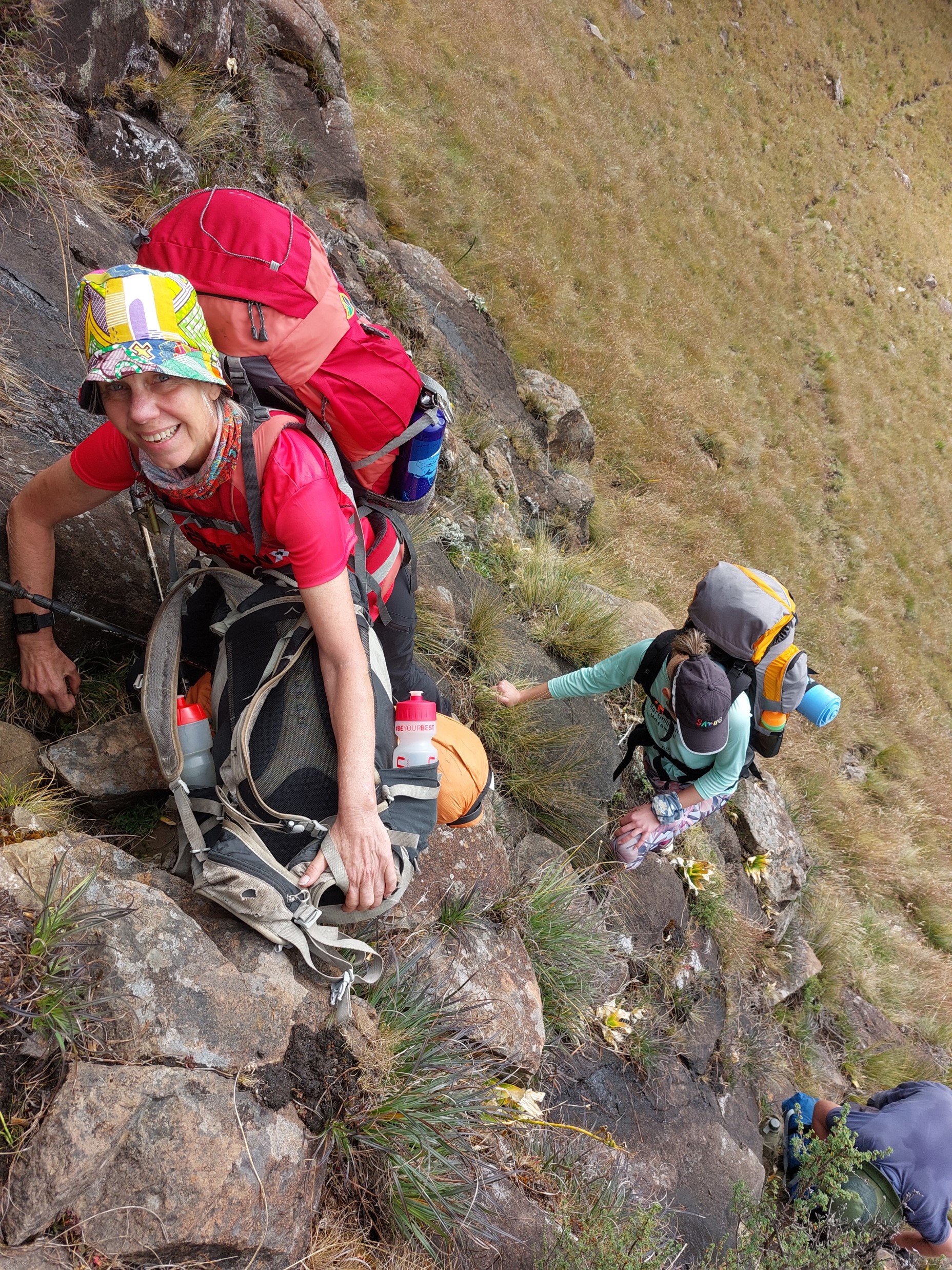
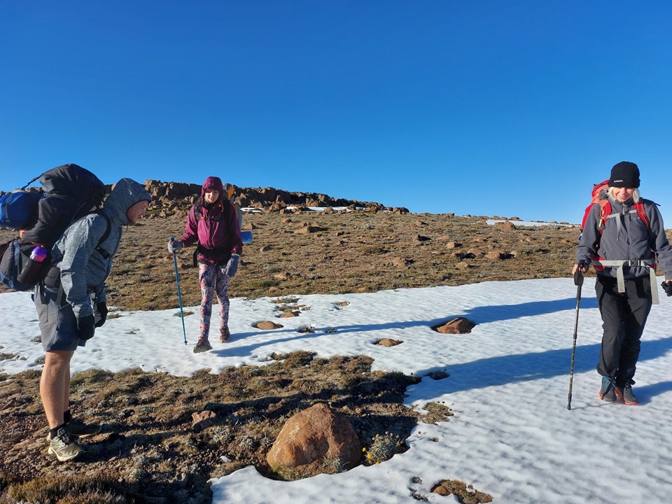
As the terrain got steeper – I could see the team was enjoying the challenge. I had been planning to use Judge Pass, being the easiest route to the top in the area – but with the team being stronger and more comfortable with exposure, I decided that Around the Corner Pass would be better for the next day.

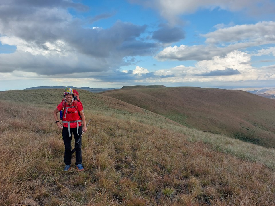
We stopped for snacks above the cliffs. Verity had brought a bag of her homemade trail mix for each of us – I’ll need to start ordering this from her on future hikes, its considerably better than any trail mix I’ve ever tried before.
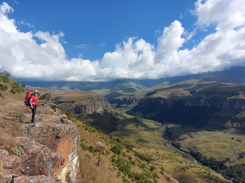
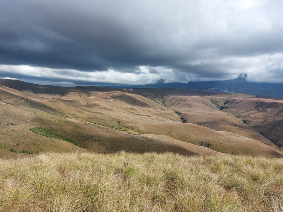
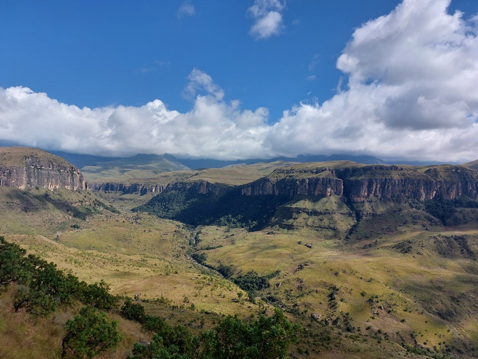
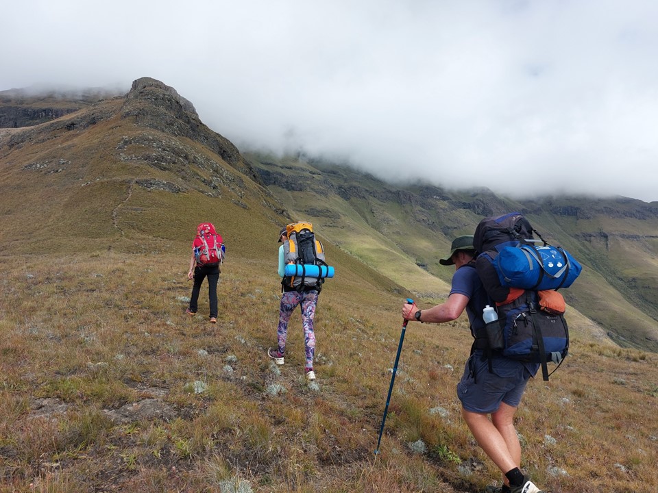
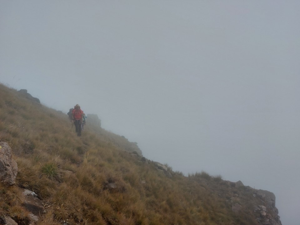
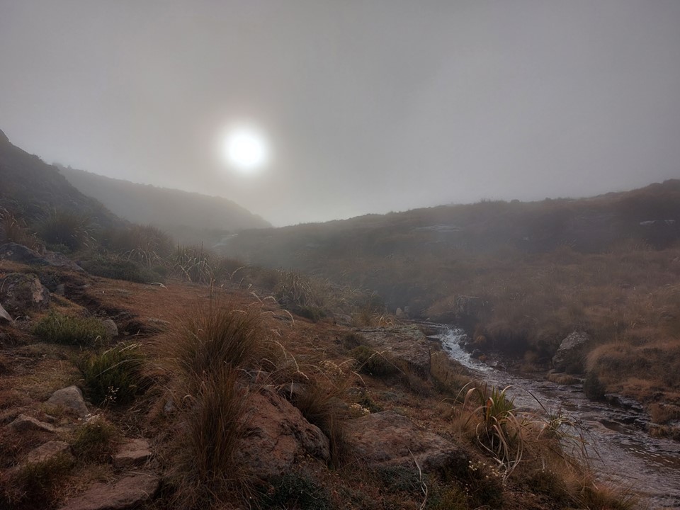
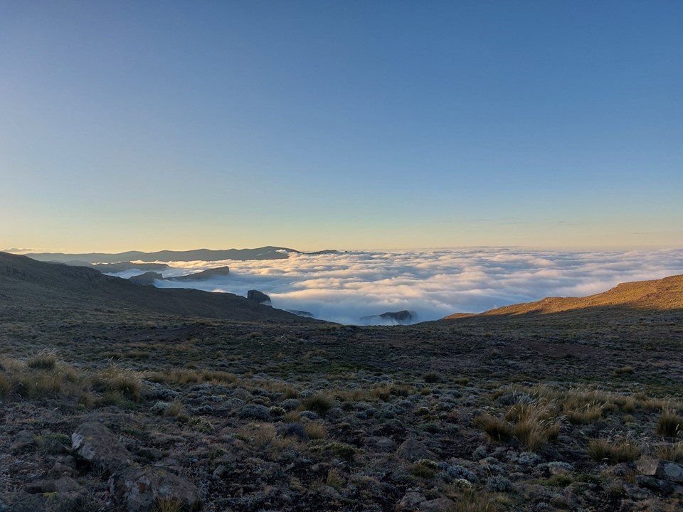
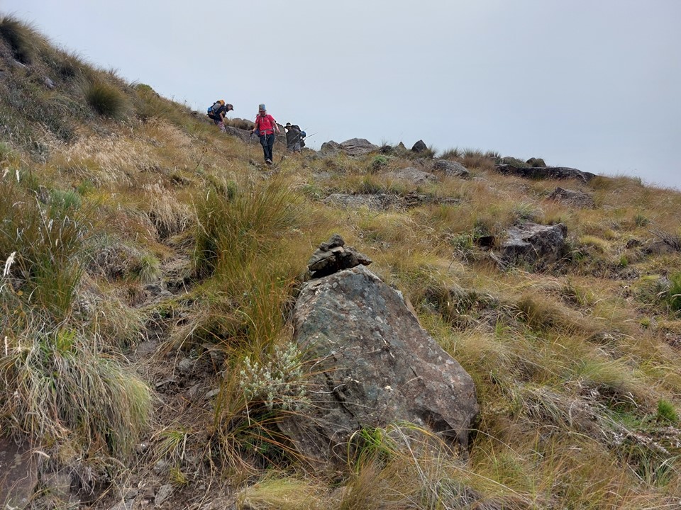
The clouds were threatening as we we continued along the ridge, but the weather held.
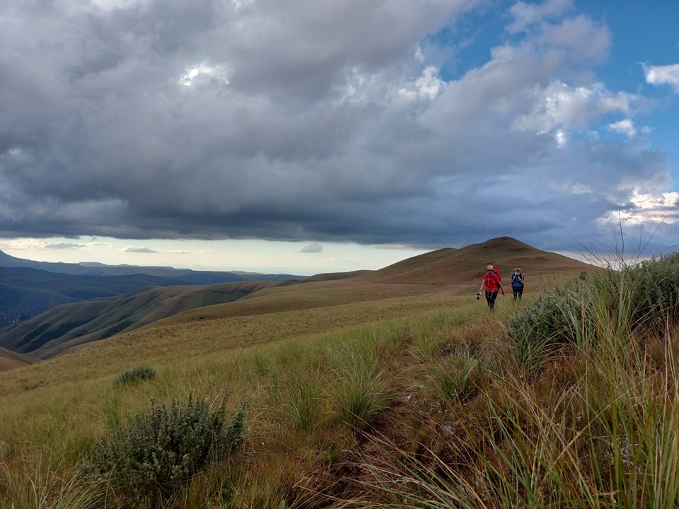
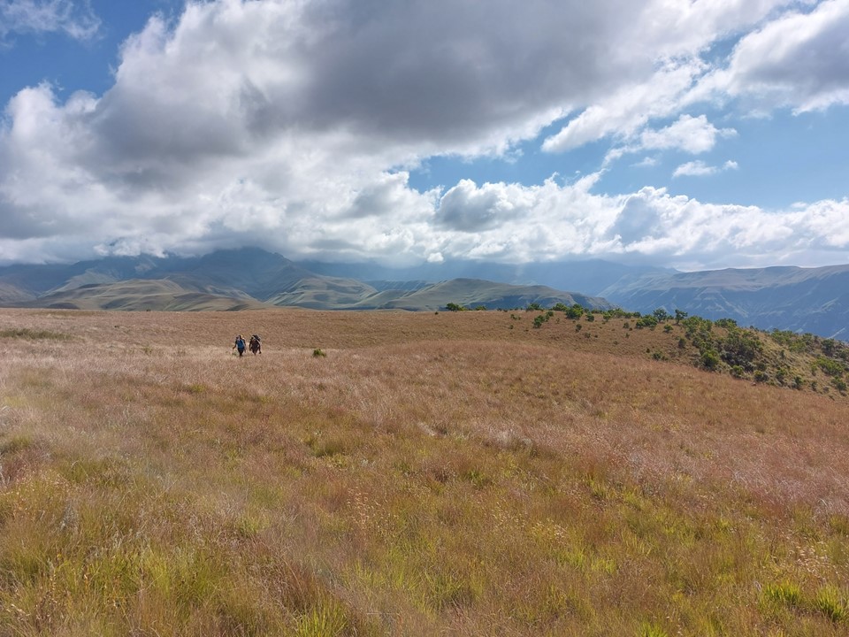
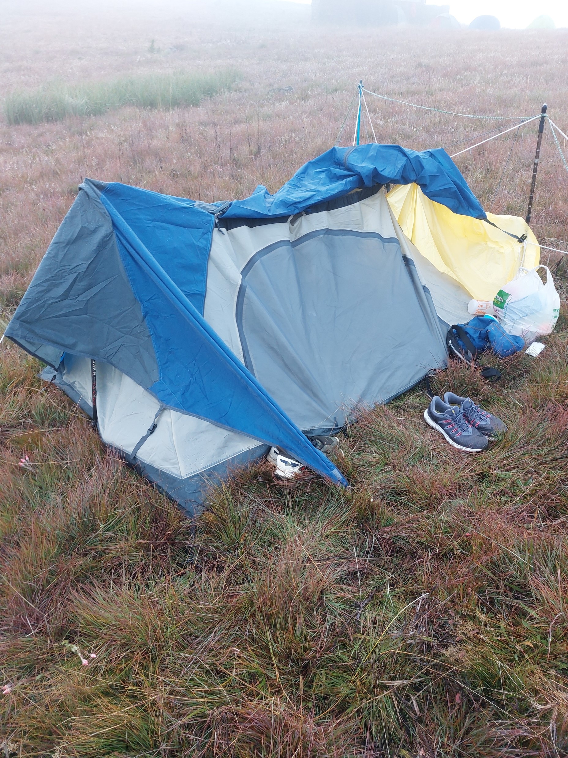
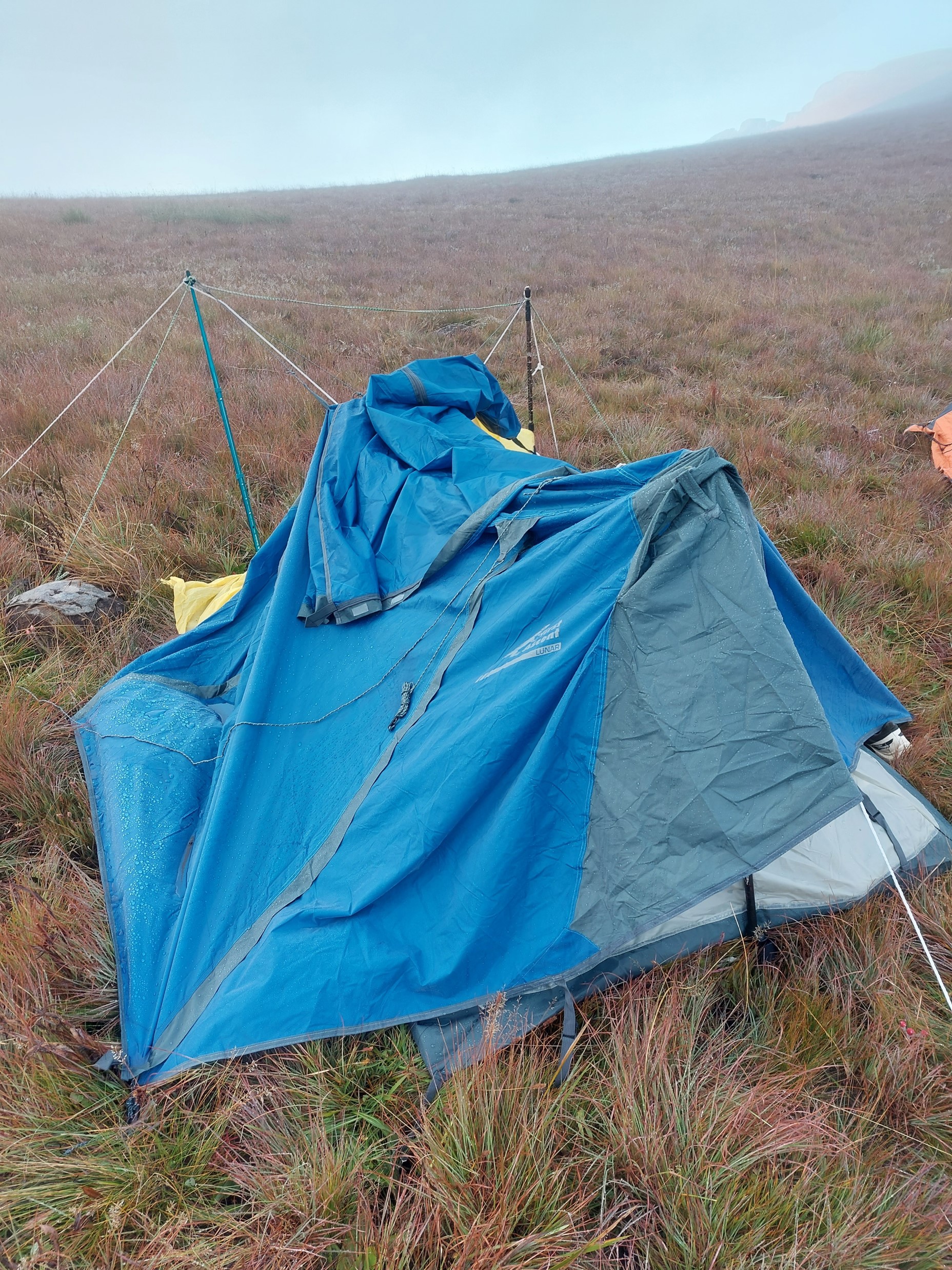
The walk along the ridge to the hut proved to be largely uneventful. Being a long weekend, we assumed the hut would be taken when we got there, so we had tents. As it turns out, a group of about 30 people were at the hut, so a good thing we did. Then we opened our tents only to find that we had two sets of tent fabric and only one set of tent poles!
Luckily Tim sprung into action, and while I was off collecting water for everyone, he came up with a design using trekking poles and ropes to secure a tent in place. Luckily it wasn’t particularly windy and didn’t rain too much that night – and the tent held perfectly. Although Tim did have to get up a few times during the night to ensure all was in order.

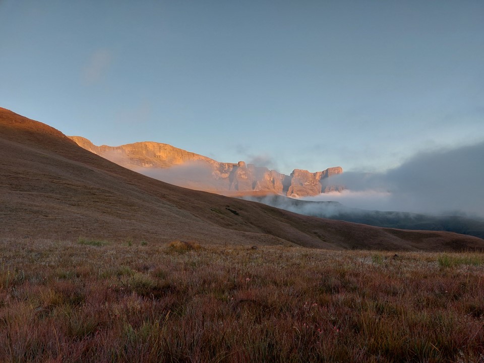
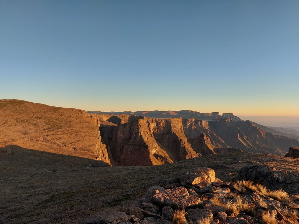
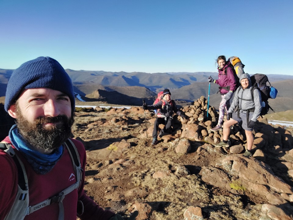
We woke up to a beautiful morning. The view from Centenary Hut is always special, it never gets old.

We set off up Around the Corner Pass. There was some commotion as we left – some of the other group had been benighted on route, with two people being injured. I believe one had to be airlifted out later that day. We were just happy that they were all safe – luckily broken bones heal.
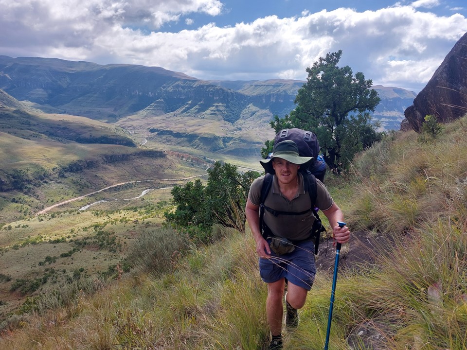
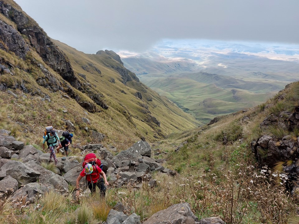
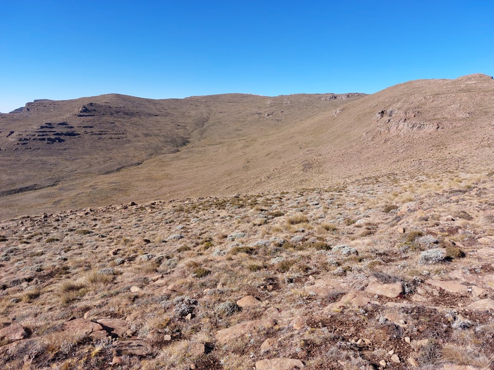
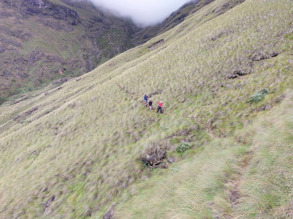
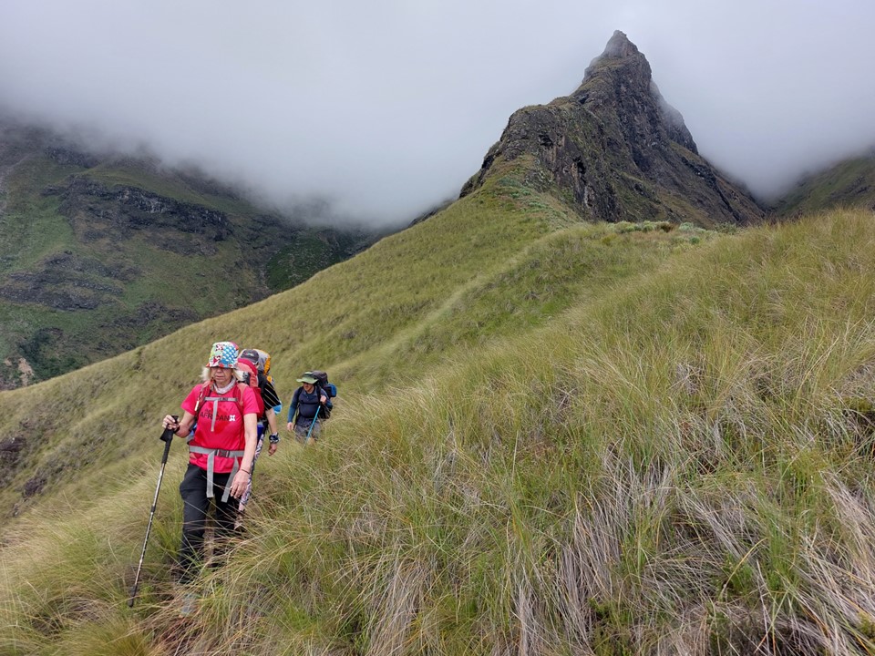
As usual, I couldn’t find the turnoff for the Northern High Approach, so we started zig-zagging up the steep grass. I knew where to look for the trail, so no need for concern.

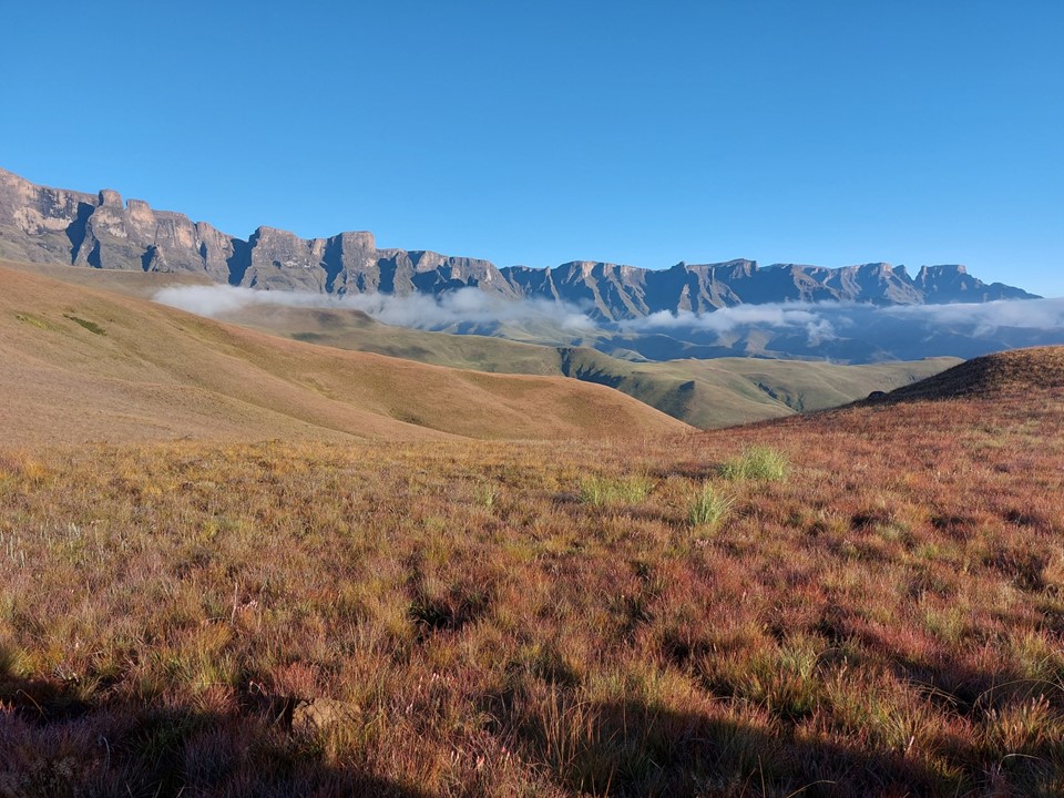
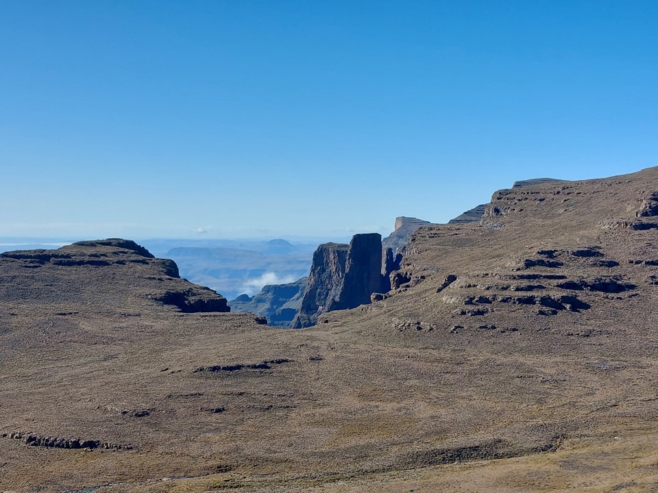
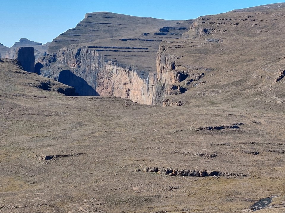
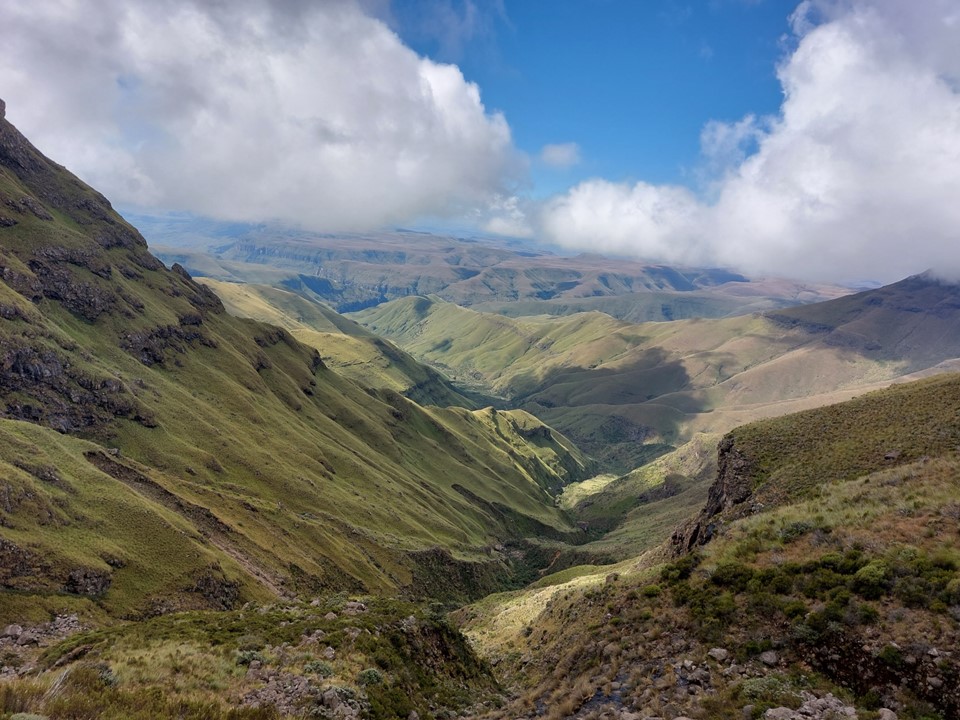
We soon found ourselves on the trail following the ridgeline. There is a great flat spot along the way, perfect for a good morning break. I have always found this view at that spot to be great.
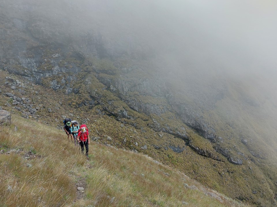
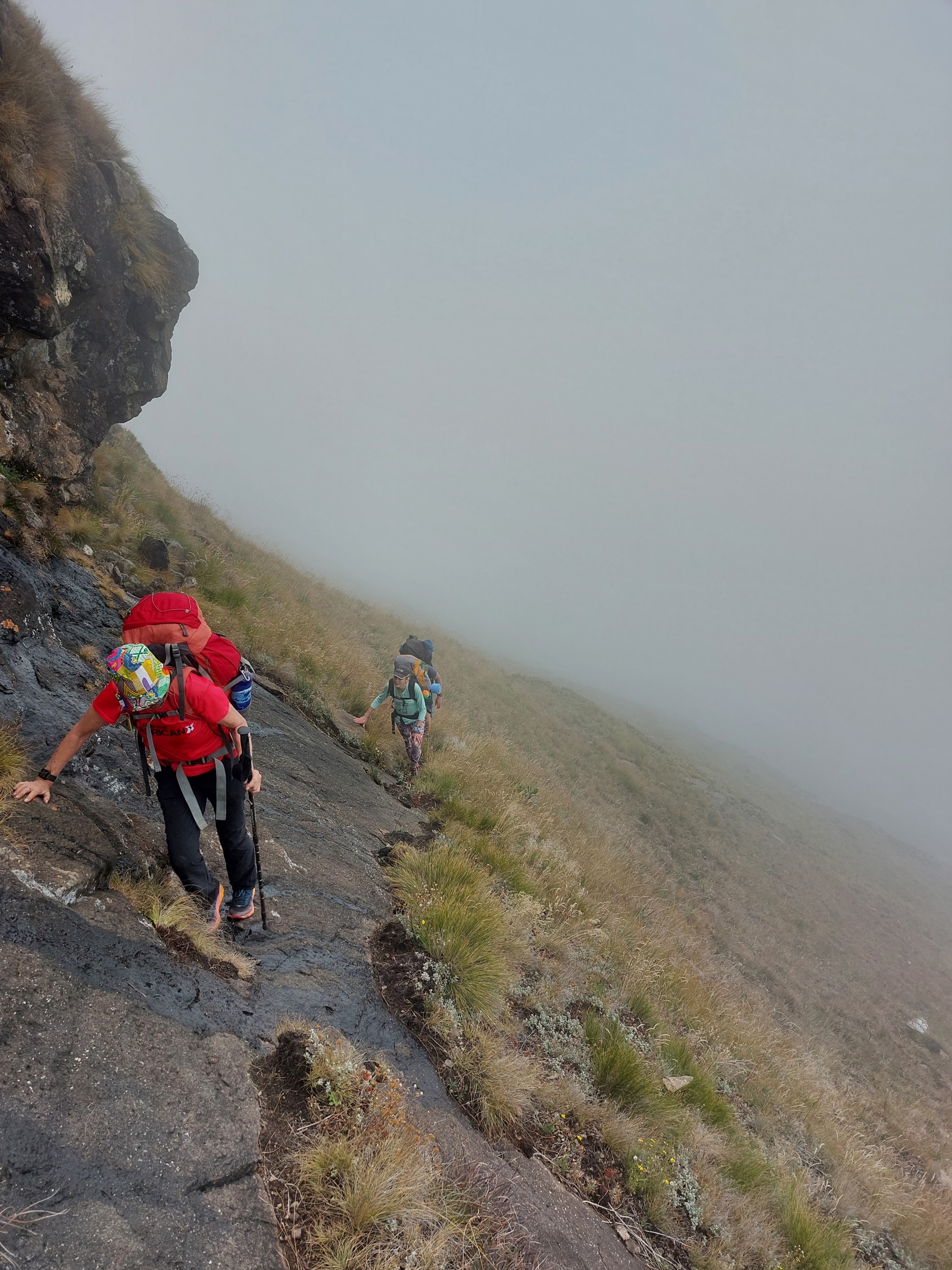
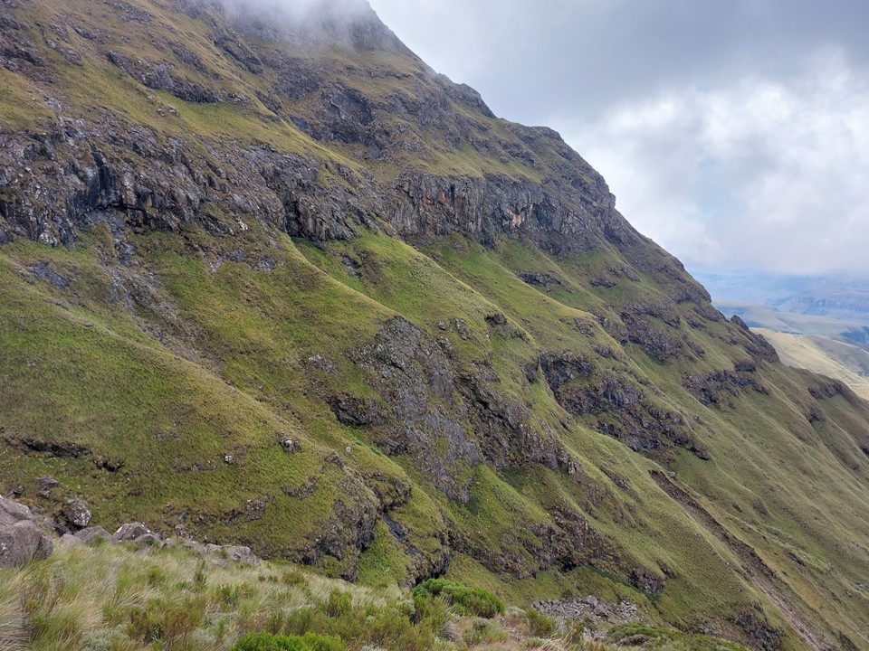
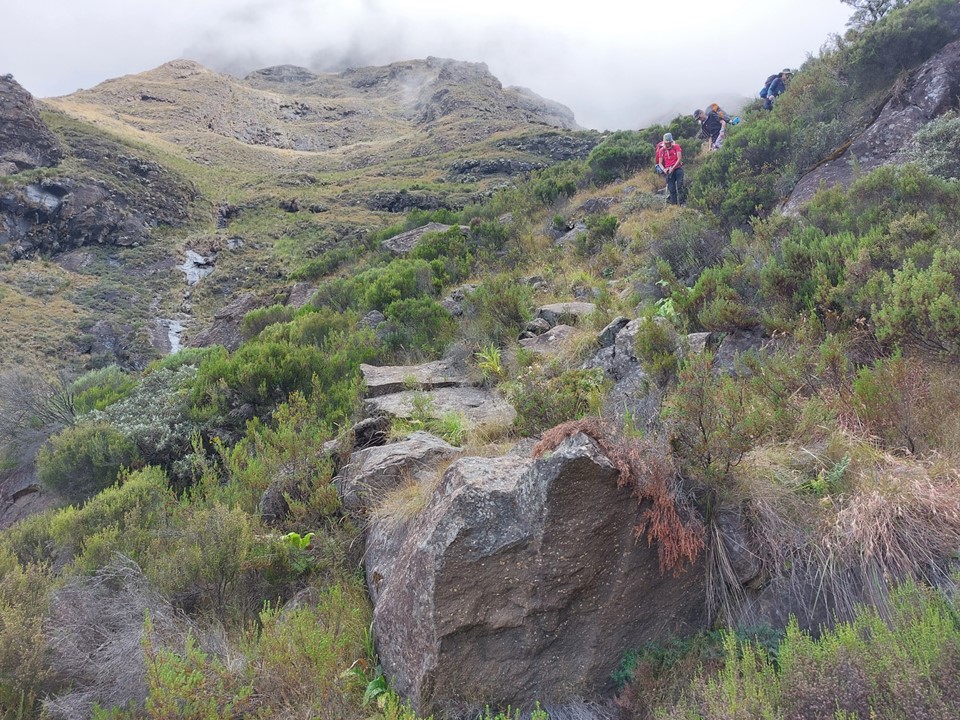
As we neared the scramble on the Northern High Approach, I was reminded how long it actually is. It is generally fine when dry, but with the amount of recent rain, this was worrying me. As it turns out, it was wet enough in crucial areas that passing packs was necessary – but not so wet that it was dangerous.
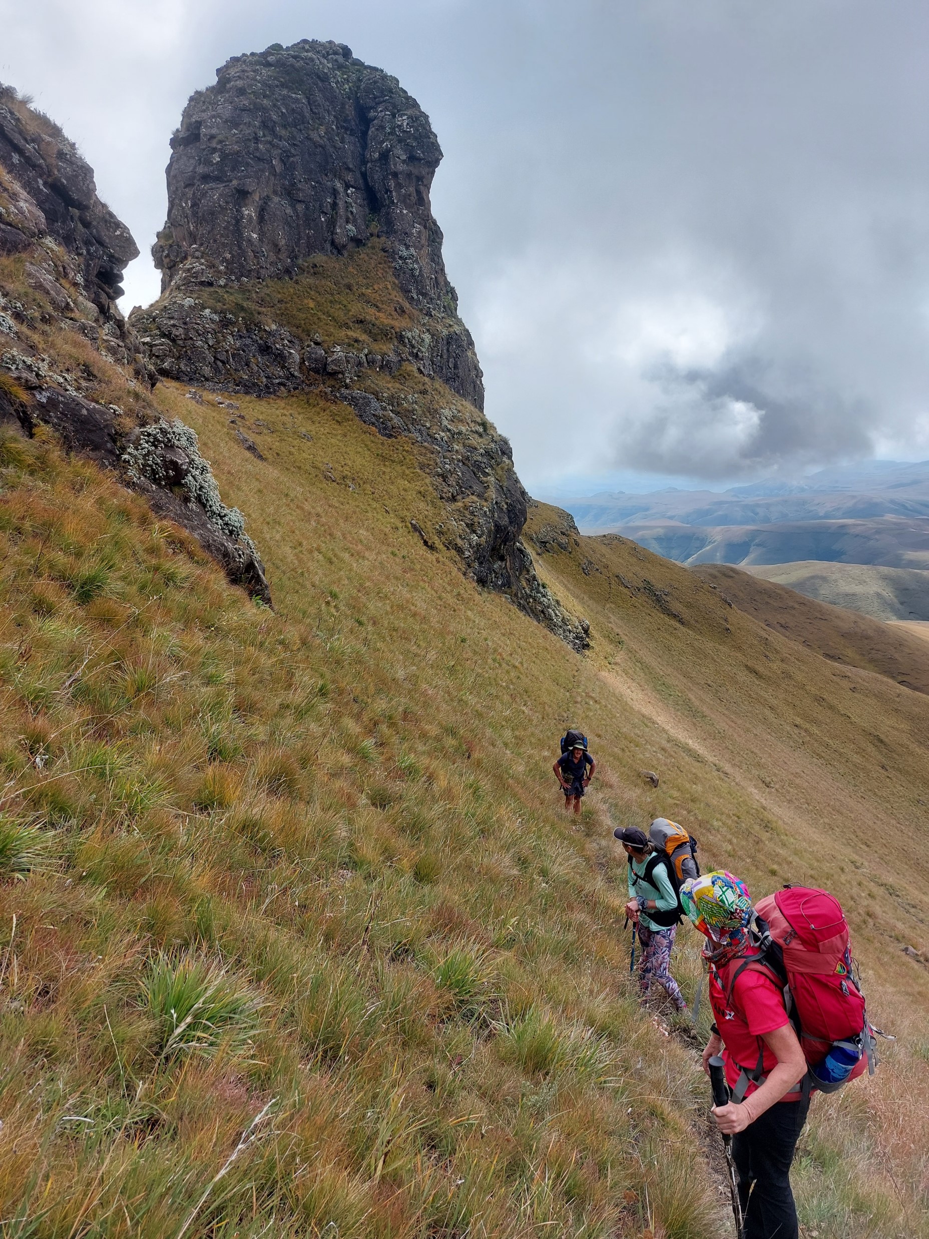

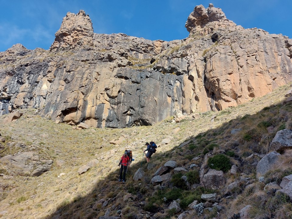
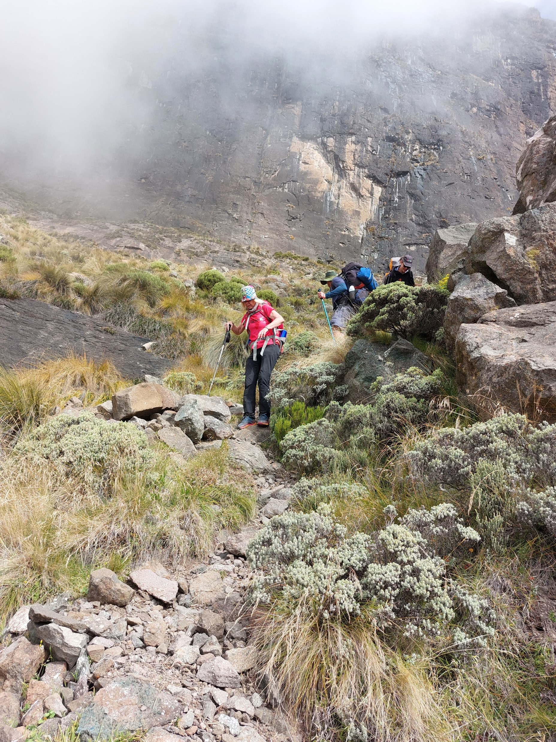
We soon found ourselves above the scramble. From here to the Corner gully would be easier, before we start the final assault on the pass.


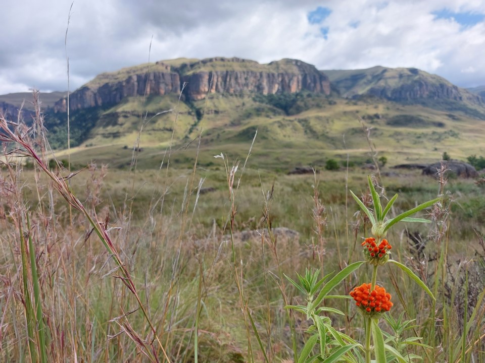
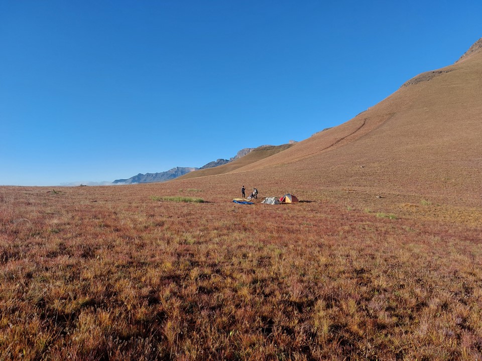
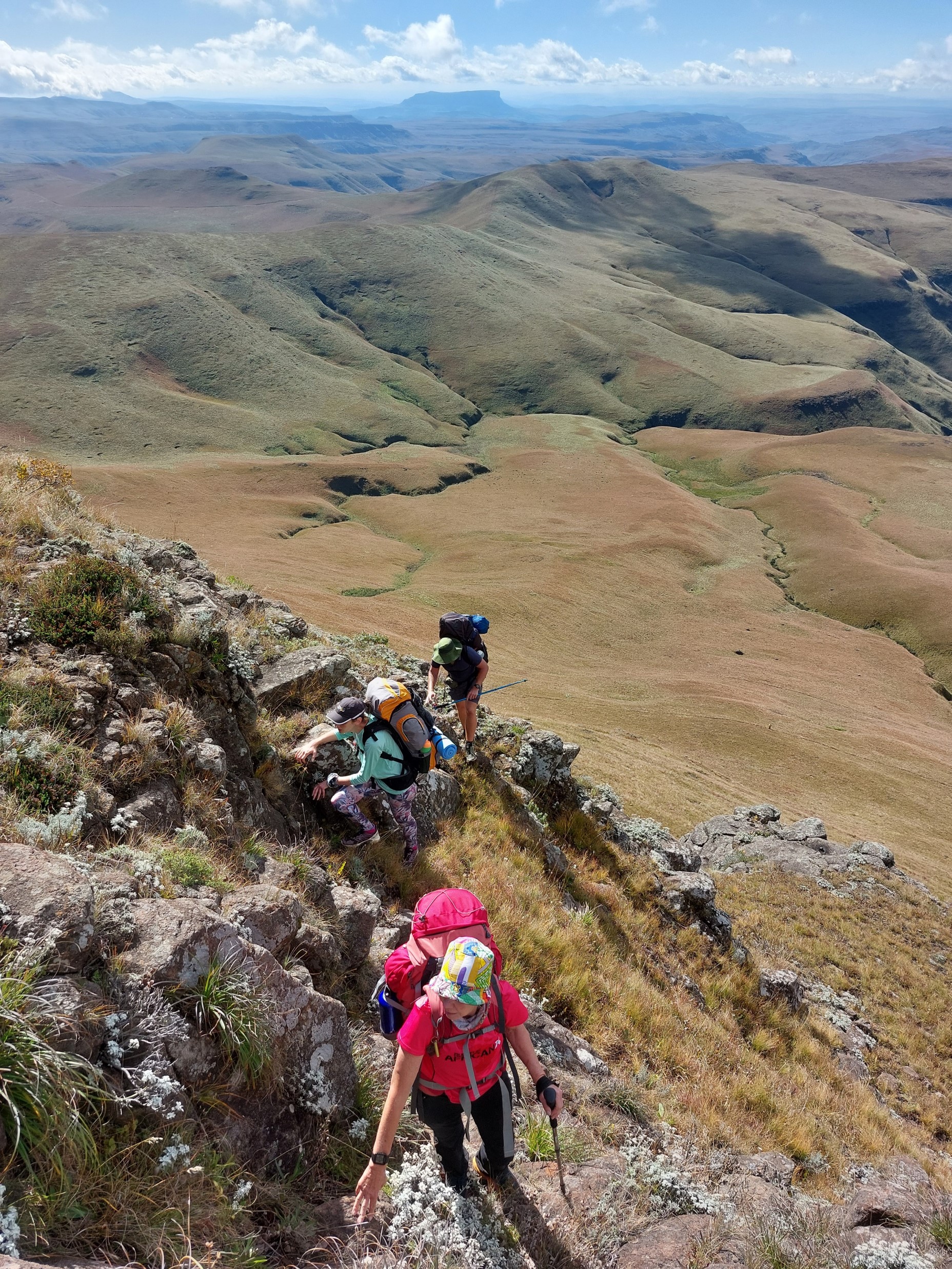
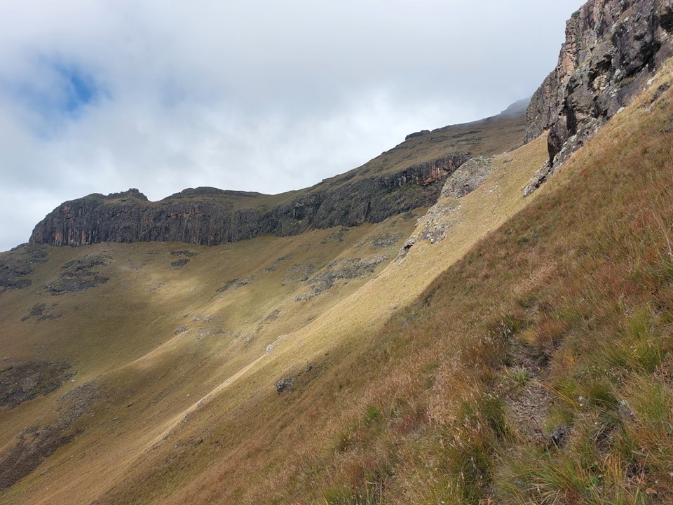
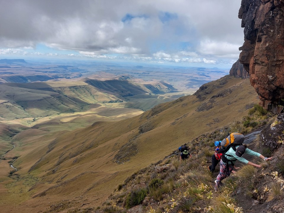
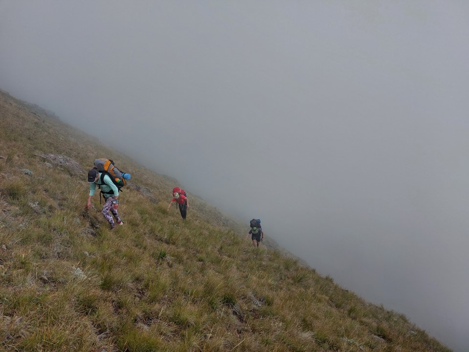
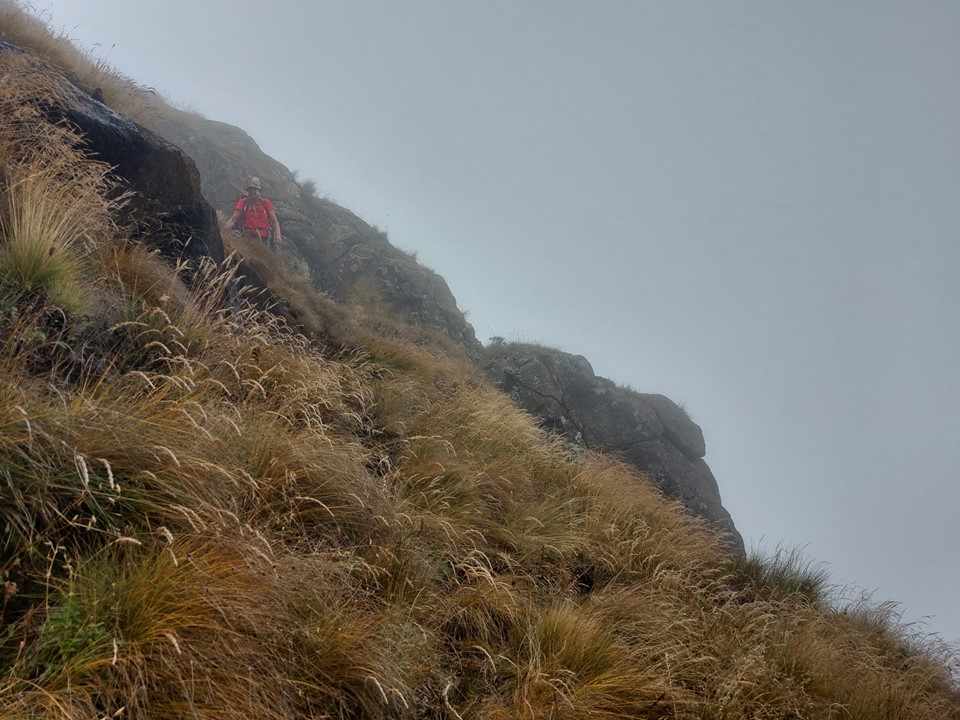
We stopped for a break in the gully before starting up the trail to the left (south). There is no official name for this pass, but seeing as it is usually paired with the Northern High Approach, and literally goes around Corner Peak, I like to call it Around the Corner Pass. While the name isn’t accepted by everyone, it largely seems to have stuck on pass lists. The turnoff is about 20m above where the Northern High Approach joins the Corner Gully – if you are paying attention, it is very easy to spot. The trail seems to have been established by locals as an alternative to Judge Pass. I have done it a few times and rate it one of the better Drakensberg passes in terms of both scenery and quality.
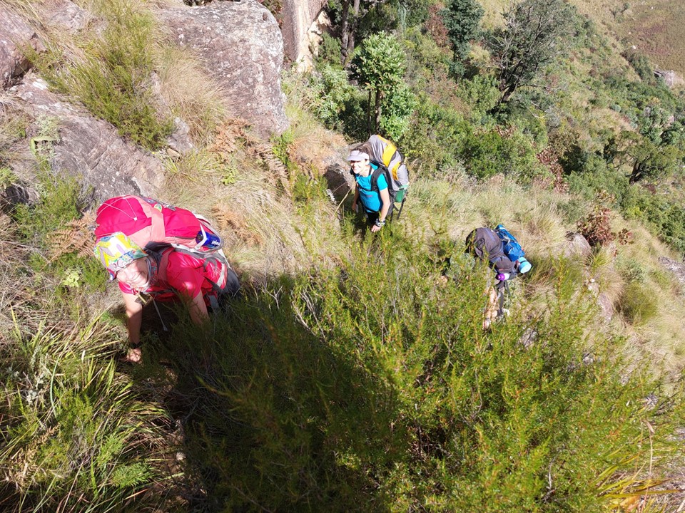
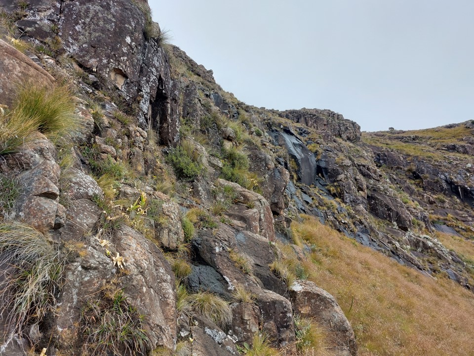
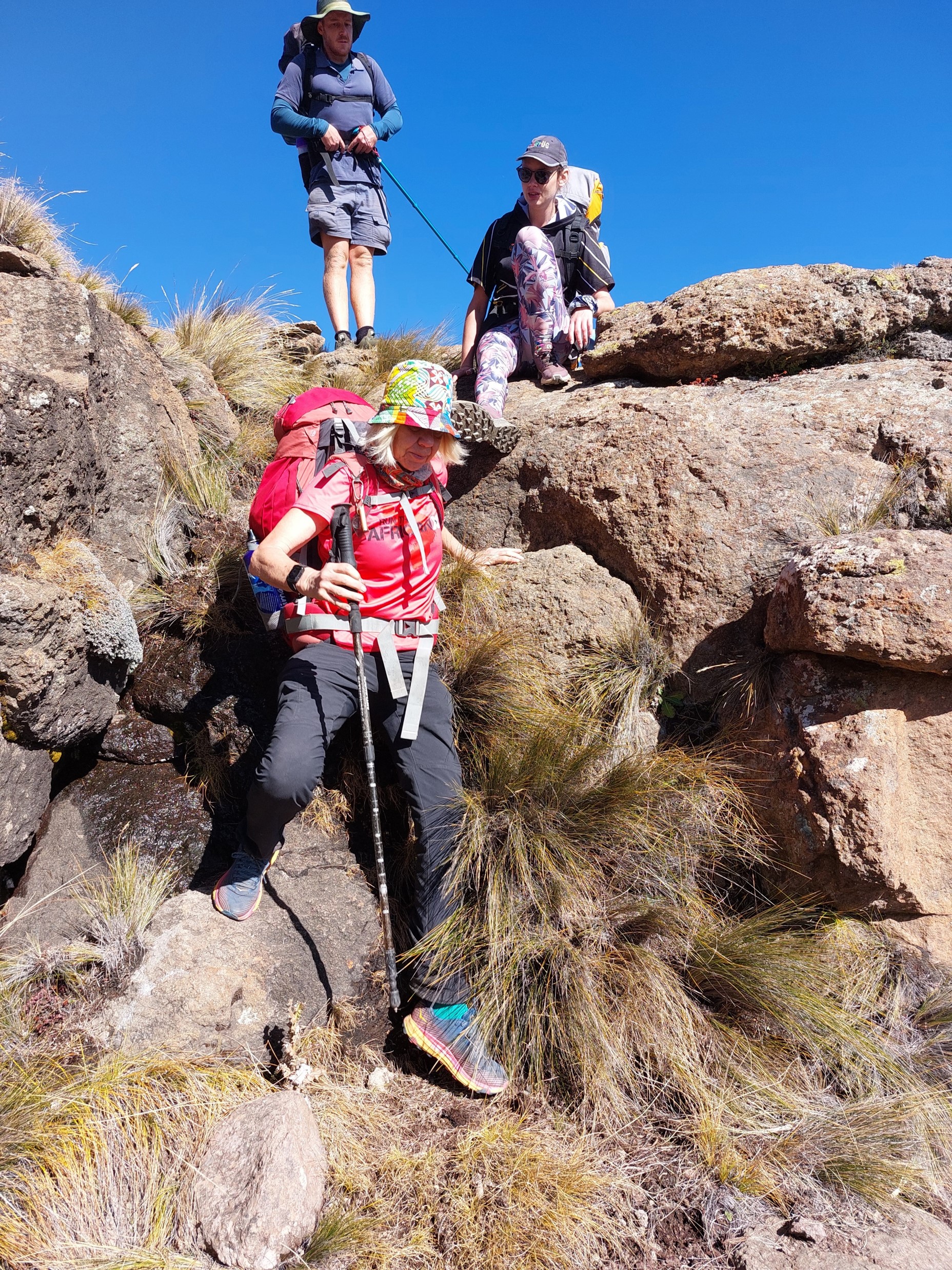
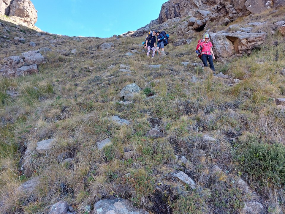
We soon hit the first scramble. It was in much worse shape than it had been when I last did this route in February 2019. A lot of the grass tufts had come off, making it rockier than it used to be. Still not too bad, definitely not the hardest scramble of the pass.
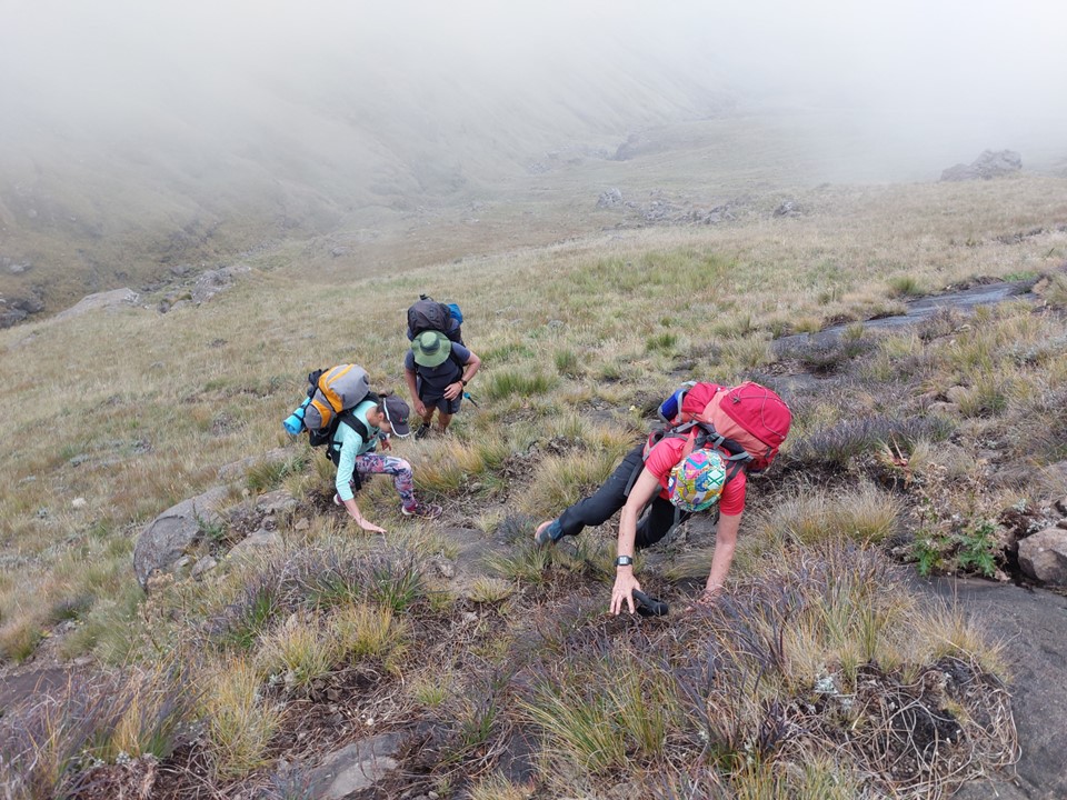
We briefly lost the trail, but found it again around the second scramble. The second scramble was wet and also in worse shape than the last time I did it.
Nonetheless, everyone got up fine – no stress. The last time I did this pass we took a wrong turn between the second and third scramble and ended up taking a very exposed summit line. I was determined not to make this mistake again, despite being in the mist now.
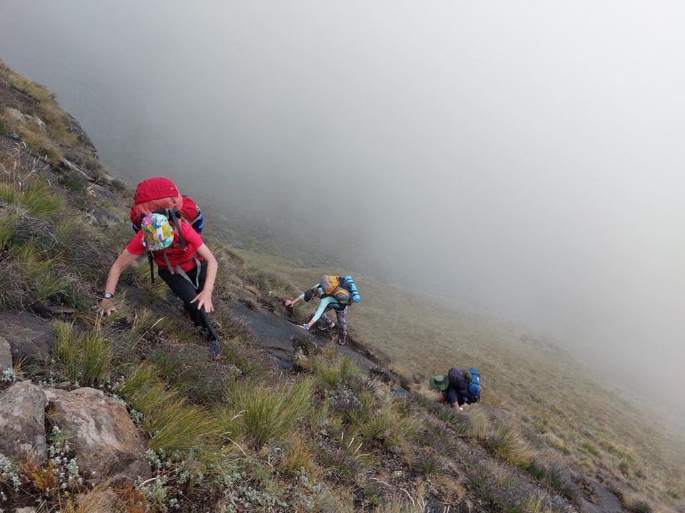
Then we hit the third and hardest scramble. It was my third time on Around the Corner Pass, and with the summit detour last time, only my second time on this scramble. I remember this one being intimidating when I descended it with Mike/Hobbit in 2016. This time it was soaking wet, and the only grass tuft on the lower 3m was almost entirely disconnected.
I realised I couldn’t do it with a pack on, and would need to haul packs up. I took my hauling rope up. I must have spent 15 minutes trying to figure out the best line and bailing on the move – before I eventually just went for it and stuck it easily. Got to love Drakensberg rock – it breaks easily when you pull on it, but it is insanely grippy when you push on it, even when wet.
I hauled up all four bags before finding a rock I could anchor the rope on for the others to pull on, if required. Tim came up last, so he could help anyone up if they needed help. Everyone got up without incident – and aside from me, they all got up quickly and easily.
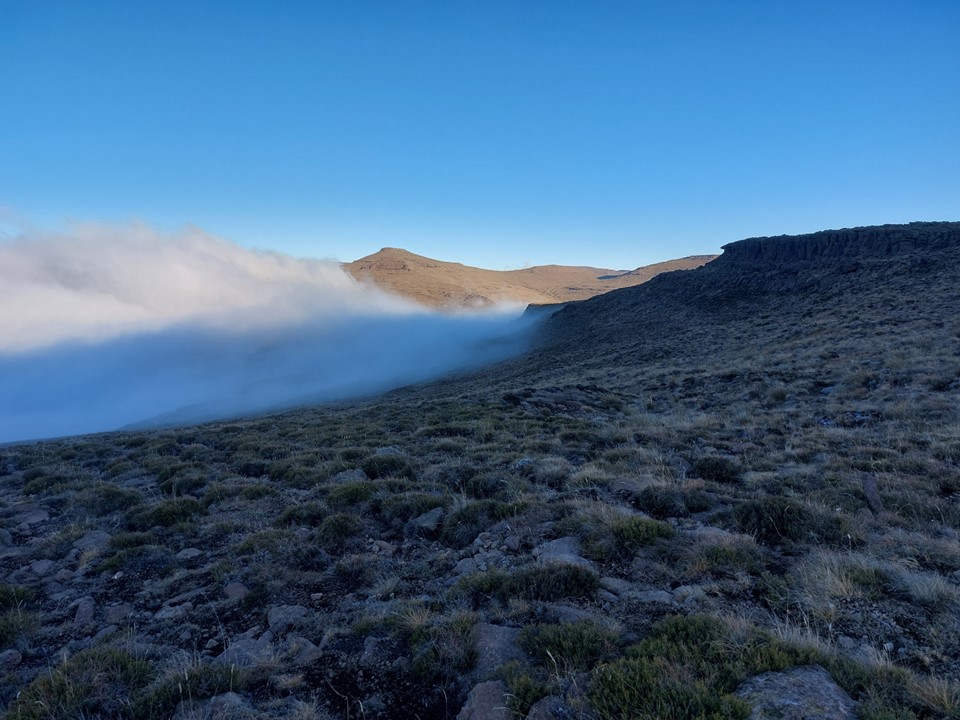
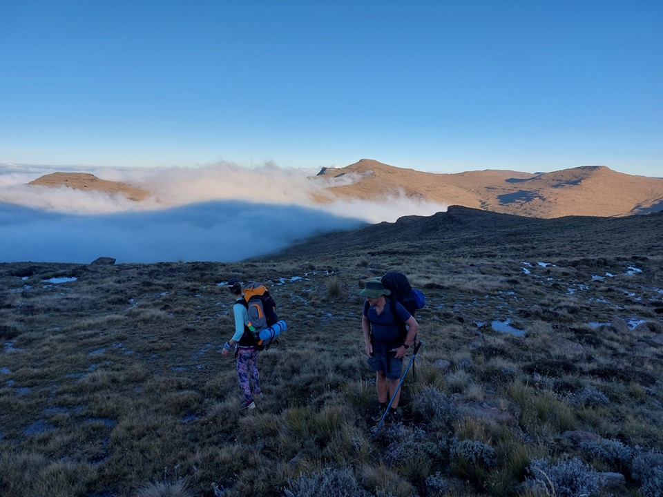
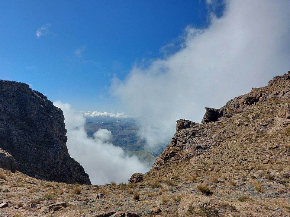
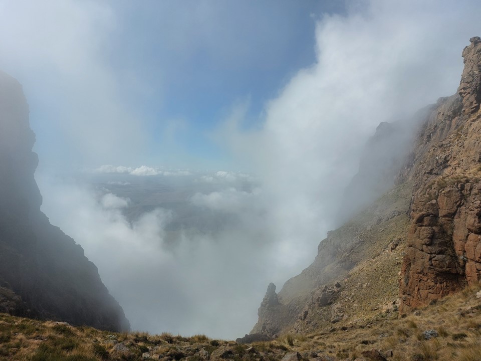
We topped out on the escarpment in the mist. We made our way to the river and stopped for an afternoon lunch break. The pass had taken longer than I expected, but the group was strong and everyone seemed ready for the final slog up the Mafadi Ridge to Upper Injisuthi Cave.


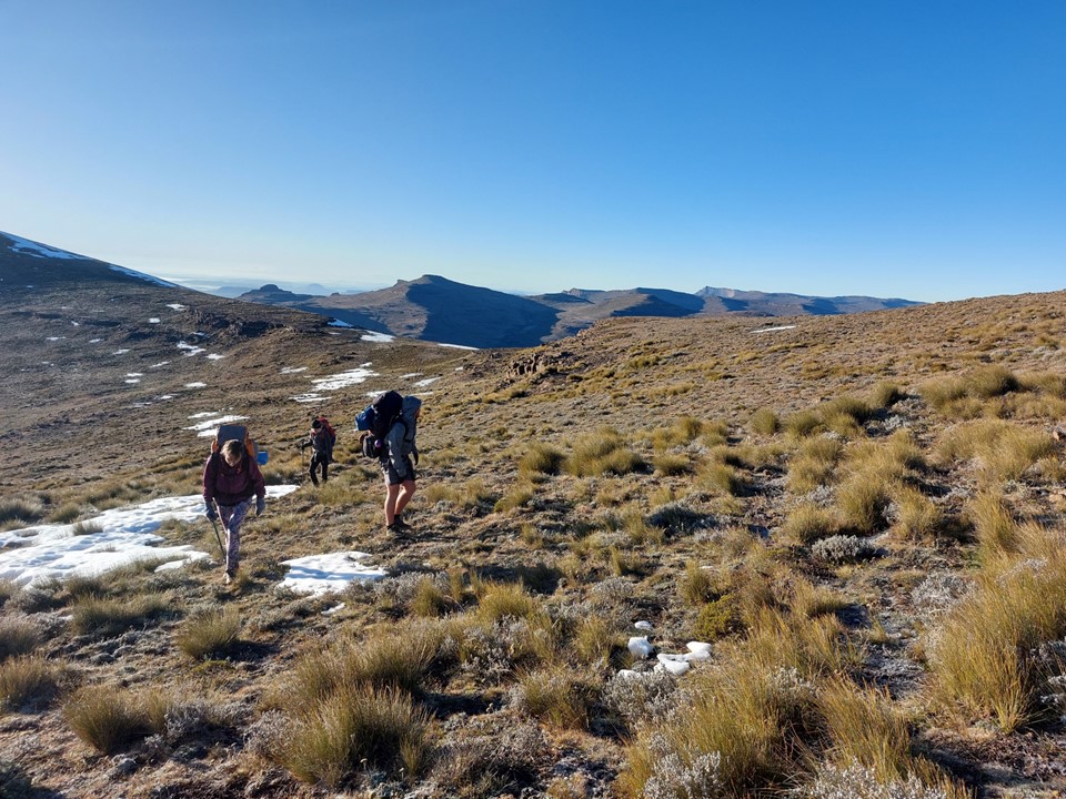
The slog up the ridge was slow, as usual – while not the steepest ridge on the escarpment by any stretch of the imagination, ascending from just below 3000m to 3300m is never trivial.
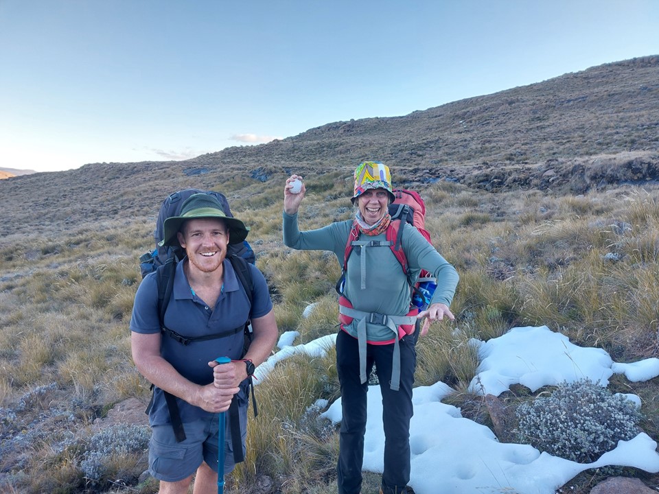
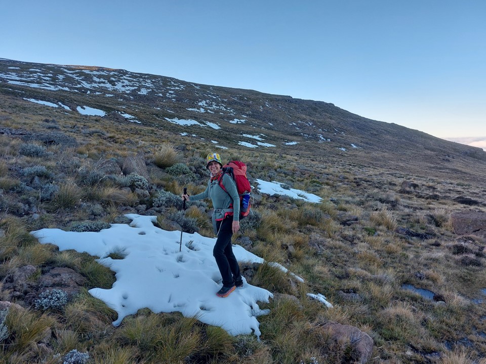
We found some snow left over near the top of the ridge, which was good for a few photos.
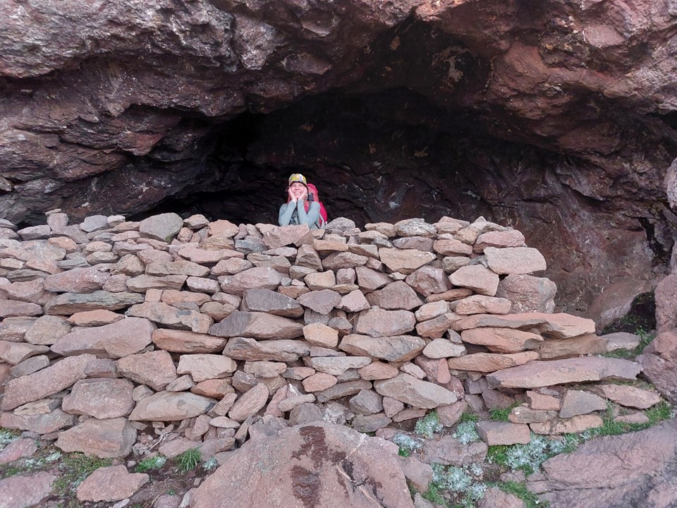
We reached the cave between sunset and last light. The cave was wetter than usual, but with a capacity to easily fit 12 people, and the entire back of the cave being dry – this was not a problem.
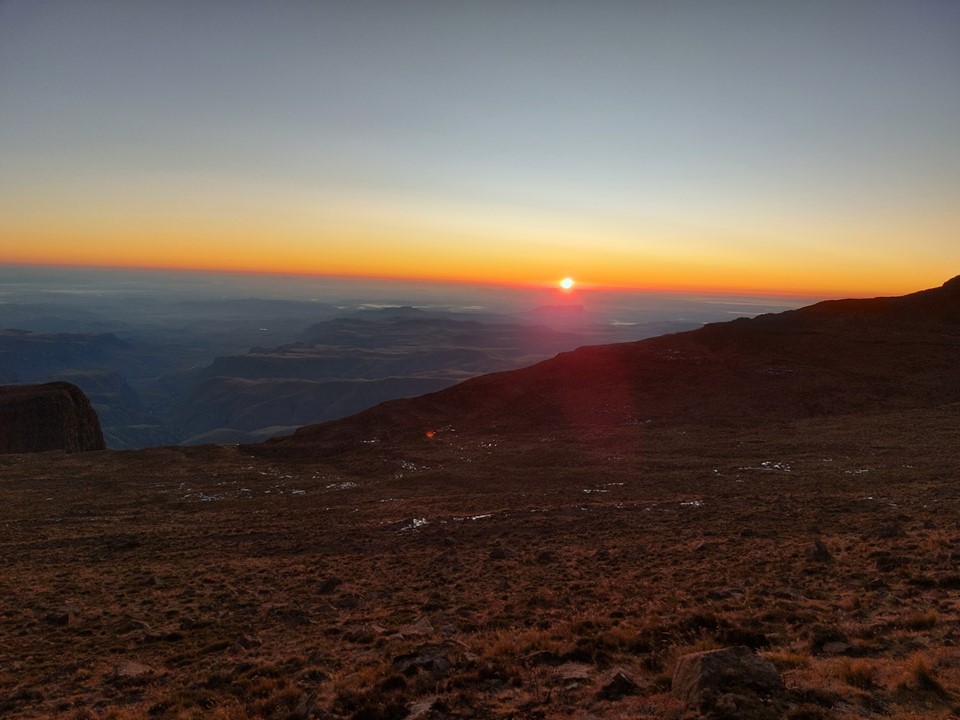
We set off at sunrise to head to the summit of Mafadi. The slog from the cave is always harder than I remember it being – despite having done it so many times.
The early section was in the shade, and thus very cold. It was a relief to finally reach sunlight.
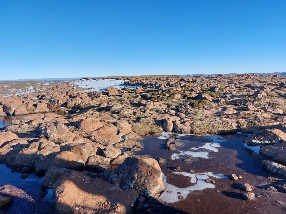
The pools on the top were frozen, with some snow around as well. I made the traditional “let’s all go to the highest point” joke – seeing as the summit is very flat and the actual highest point is practically impossible to spot, it always looks like the other side of the summit. To be safe, I like to walk across the entire top.

We didn’t spend long on top – the plan was to hike all the way down the same day, and that meant a lot of ground left to cover.
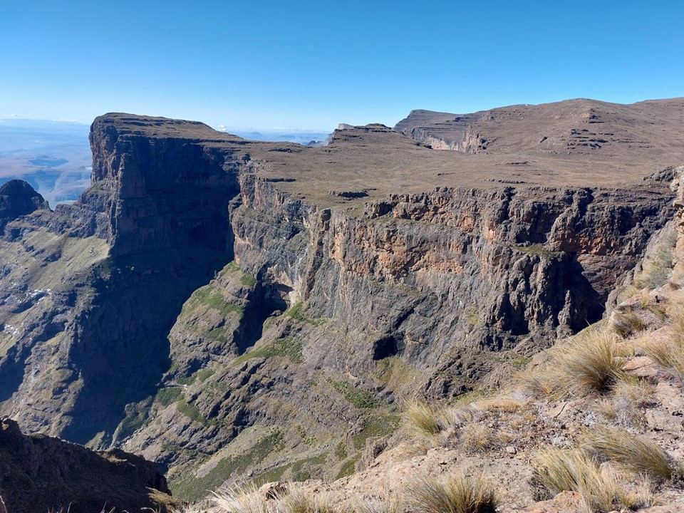
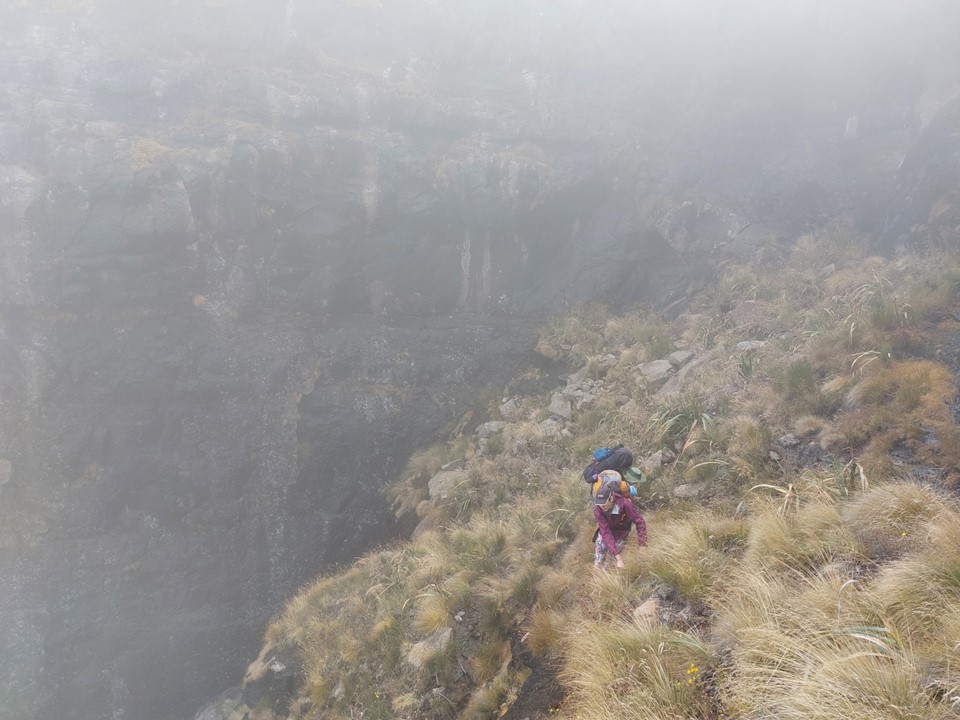
I always take the escarpment edge line down from Mafadi – it is one of the more spectacular routes in the Drakensberg, definitely worth the effort. I’m not actually convinced that the gully variation is easier or shorter.


We eventually found ourselves at the top of Leslies Pass. I have a love/hate relationship with this pass – the top quarter and bottom half are great, but the steep section above the river and the section from the bottom of the pass to Marble Baths Cave are horrible – and the pass always takes longer than I expected. Little did I know how the epic would unfold!
We made it through the top section reasonably quickly. Then we hit the infamous steep descent to the river! This section is loose, steep and slippery and usually much slower than one expects.
I was relieved when we eventually reached the river crossing – I knew from here we would traverse out onto the ridge off the Molar and would follow a good trail down the last half to the valley below. This is where I had made a bit of a miscalculation – despite having a team of fit runners, the continuous steep descent of a Drakensberg pass on a gravelly trail is not what they are used to. The final descent to the river was thus slower and more painful for the team than I had anticipated. I’m fairly certain that I will have rocks thrown at me if I mention that pass name in their presence again!
By the time we were off the pass, my goal had changed from being off the worst roads before dark to being back at the car before dark.

For the first time ever, I managed to navigate the entire terrace trail from the pass to the cave without incident, only rarely losing the trail, but soon finding it again. This probably saved us close to an hour, so it could have been worse.

By this point my concerns had changed – I didn’t get more photos, my only concern was getting the team home safely.
We hit the double river crossing above the Lower Injisuthi/Marble Baths split as it was getting dark. The long slog down the final valley proved slow – and my fears of the river being too high to safely cross were confirmed upon reaching it.
I was exhausted and river crossings aren’t my strong-point at the best of times. Luckily Tim did some scouting and found a spot higher up where we could safely cross. He helped the team over, making multiple laps of the crossing. He then went ahead to get the car – so the team wouldn’t have to walk the full road section.

Everyone was relieved to reach the road, but it was 9:05PM and the gate closes at 7PM. We drove to the gate to find it locked (unsurprisingly – although not all offices lock their gates at night). We drove back to the offices, and had to figure out where the staff accommodation was. Around 10PM, after making a lot of noise, the lady who runs the office agreed to open the gate for us – for which we were very grateful.
By the time we hit the N3, it was almost midnight. I agreed to drive Van Reenens Pass and the Free State section – I struggle to sleep in cars, and seemed to be the least exhausted at the time. We stopped in Harrismith for some coffee and muffins, and were soon making our way through the long Free State section.
Around 4AM I was finally in bed, after a quick shower. And while its true that the optionally fourth day for this loop would have been advisable for this trip – everyone was home safely, so I was happy. When my alarm clock went off two hours later, I might have been a bit less happy though!
Thanks to Liezl, Tim and Verity for joining on this epic! Definitely not a hike I will soon forget.
